McAllister Gulch

Total Miles
12.1

Elevation

3,559.67 ft

Duration

2 Hours

Technical Rating

5

Moderate

Best Time

Summer, Fall

Trail Overview

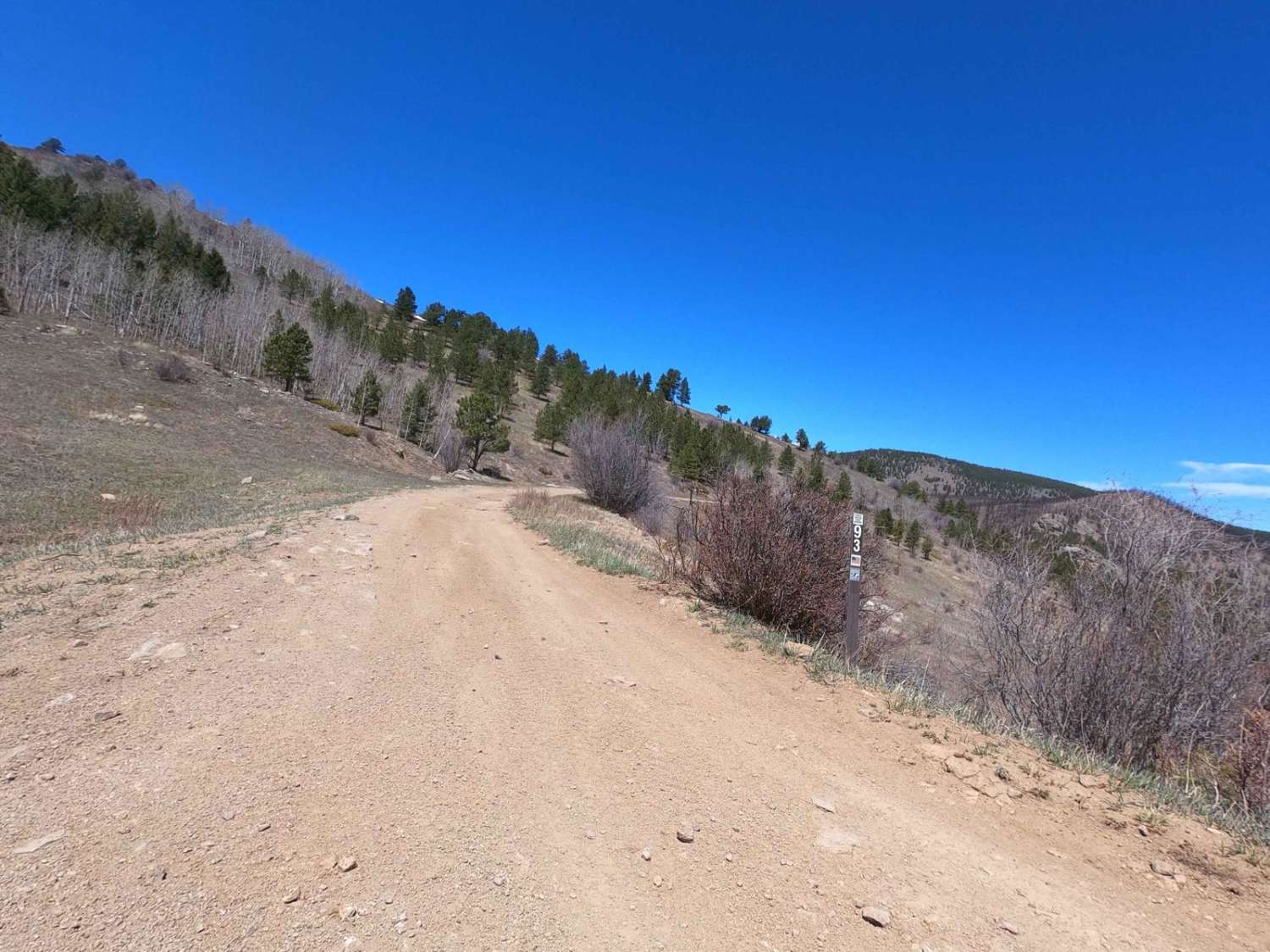
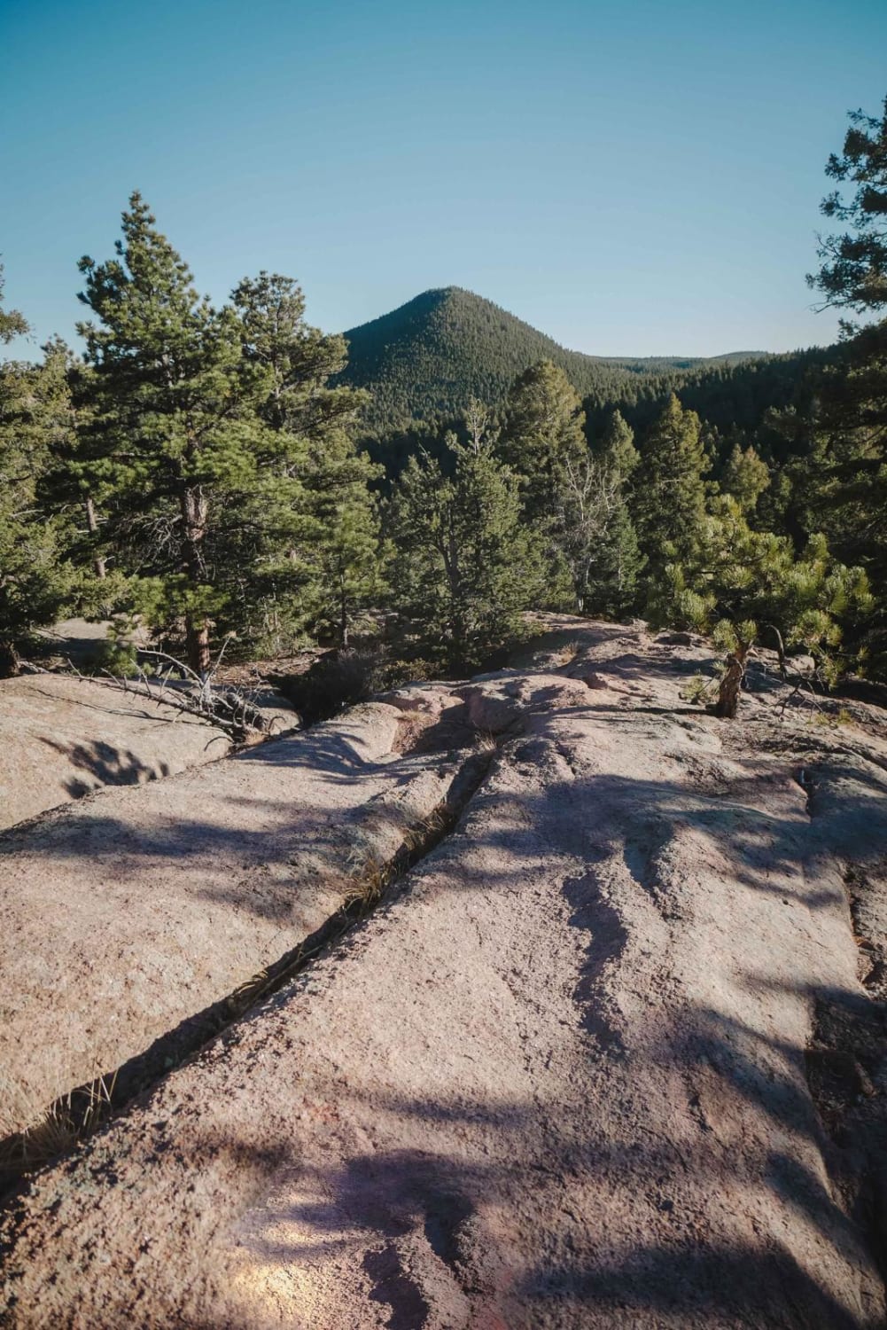
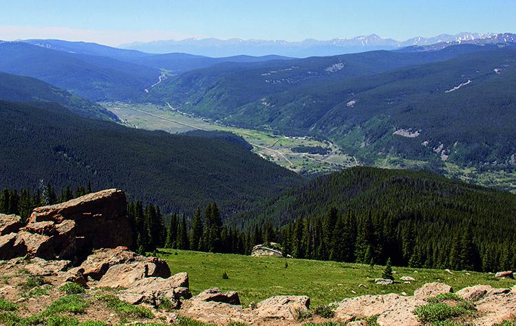
This is a fun climb through the mountains, starting at Camp Hale. Climb to the top of Resolution Mountain with incredible views of Mt. Holy Cross. Then, descend Shrine Pass Road by way of Wearyman Creek. There is an option to make this trip a loop if you turn right at Wearyman Creek and travel up to Ptarmigan Pass. Camping available at south end of Camp Hale for a fee. Open June 21-November 22.

Photos of McAllister Gulch

McAllister Gulch
McAllister Gulch

Difficulty

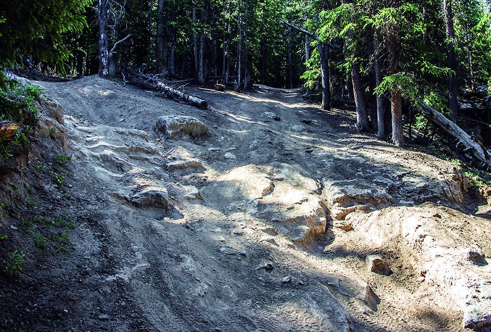
Mostly moderate, except for one steep, rocky spot pictured on opposite page. Most stock 4x4s can get up it when dry with an experienced driver. Option: turn right at Wpt. 05 (see map).

History

Camp Hale was established in 1942 as a winter training post for the army. At its peak, the camp housed about 16,000 soldiers, 14,000 of whom were members of the famous 10th Mountain Division. In addition to barracks, the post included mess halls, a hospital, chapel, fire station, post exchange, stockade, ski shop, bakery and an ice-making plant. Information boards are located on Highway 24 and throughout the area.

Technical Rating

5

Status Reports

George Zambrano
Sep 01, 2024
2021 Toyota 4Runner
Open
Rough/Deteriorated
If running South to North (clockwise if doing the loop with Ptarmigan), the last hard right before you exit the trees is very deteriorated and washed out on some rather large rocks in the middle of the trail, there is no bypass. Very careful tire placement with at least 33's and locker(s) recommended. Buddy with us on 32's and no lockers had some major 3 wheel action attempting this section.
Jeremiah Williams
Aug 21, 2024
2022 Yamaha Tenere 700
Open
Muddy/Wet
Very demanding on a weighted down Tenere. Must was nearly perfect for good traction. Got a bit rowdy at the top. I did this from Camp hale and added Ptarmigan in to make a loop. There is a crux. Don’t give up here. When it gets really tough it’s almost over haha. 🤙🏼
Bill Smith
Aug 09, 2024
4x4
Open
Rough/Deteriorated
Eroded with scattered boulders or holes to dodge. Many steep climbs. Plenty of wet holes to slick up the tires. Recommend 33” tires and a locker.
Decagon Froths
Jul 23, 2024
2006 Lexus GX
Open
Normal
Dusty
Sweet trail. View at the top of Ptargamin is insane and this is definitely the fun way up there, or climb from the bottom of shrine pass through a river bed but I could only squeeze through some spots by a couple inches in the GX. Another 2” of wheel poke on both sides would’ve been problematic.

Access Description

From Leadville: Take Hwy. 24 north from Leadville about 17 miles to entrance of Camp Hale. From Shrine Pass Road: See directions for Trail #50.

Popular Trails

Go Farther

Try onX Offroad Elite for free for a week — no strings attached. Get access to thousands of off-road dirt trails and snowmobile trails across the nation. View your favorite zones in 3D. Send trails to friends. Start planning the trip of a lifetime now.