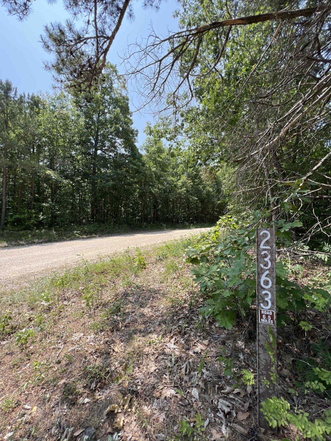
Peter Cave Hollow 2363
Total Miles
6.4
Technical Rating
Best Time
Spring, Summer, Fall
Trail Type
Full-Width Road
Accessible By
Trail Overview
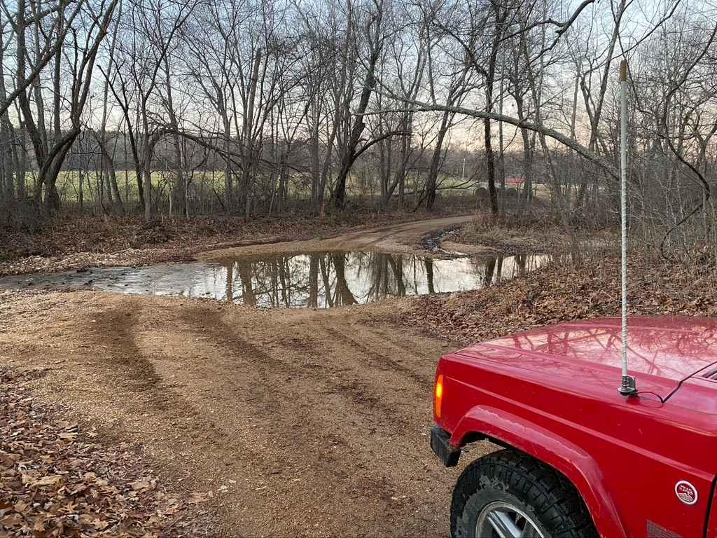
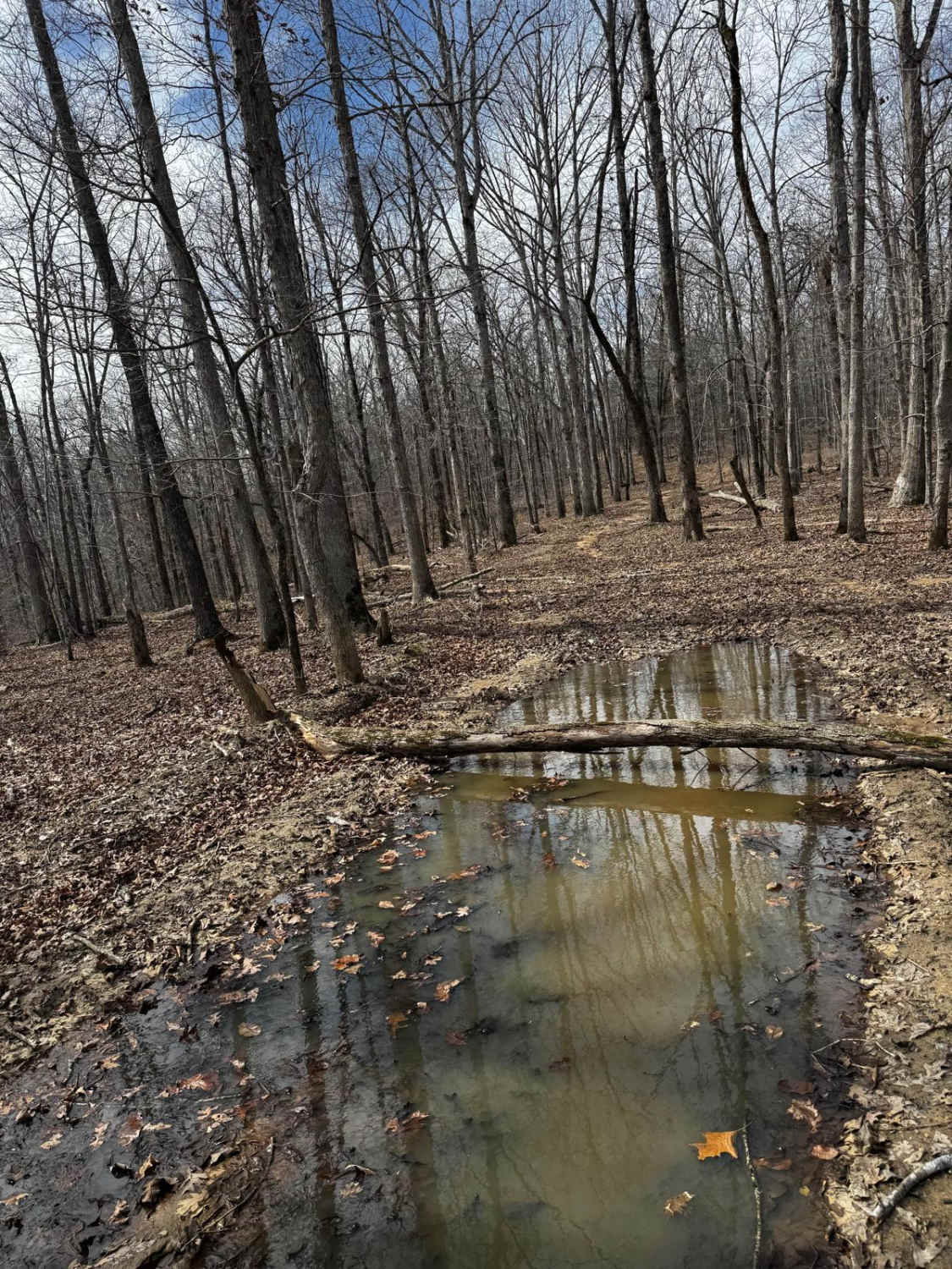
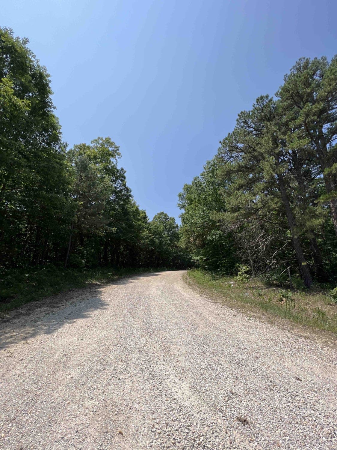
It's always exciting when you drive for miles looking for that perfect camping spot with a view and then you finally, after hundreds of miles, find that spot. Peter Cave Hollow 2363 will take you there and even if you just stop for lunch, its shade provides a nice resting spot. The Mark Twain National Forest roads in their entirety have been well maintained. This trail is an easy gravel road and winds through the forest giving you breathtaking views of the massive forest canopy. The main attraction to this area is the Ozark Trail Trace Creek which parallels this route and most of the east spur trails lead to a section of the trail. Cell service is attainable but sparse. At 3.4 miles there is a campsite with a fire ring for the Ozark Trace Trail, there you can hike in .8 miles to the main trail. At the very end, you can find a little gem to make camp at before the night is dim. One of the many 650 different species of wildlife in this area is the Box Turtle. They are very prominent here and can be found mostly out in the middle of the road and look like rocks. Ticks are found in this area as well so take precautions to protect yourself from these pesky bugs. At the very end of the trail is a campsite with signs that clearly state that this is for walk-in turkey hunting with a sign that is stapled to a tree. No motorized vehicles beyond that point.
Photos of Peter Cave Hollow 2363
Difficulty
There is no real difficulty, other than you have to turn around at the end. It's mostly a single lane road as well but two vehicles could pass safely. The roads here aren't passable in the winter time due to snow, ice, and lack of plowing on back roads.
History
Named after its saltpeter, Peter Cave Hollow is nestled into the 1.5 million acre Mark Twain National Forest. Here are a few eBooks to read on the history. https://www.nps.gov/ozar/learn/historyculture/establishment.htmhttps://spexternal.modot.mo.gov/sites/cm/CORDT/MoHwys_First200Years.pdf
Peter Cave Hollow 2363 can be accessed by the following ride types:
- High-Clearance 4x4
- SUV
- SxS (60")
- ATV (50")
- Dirt Bike
Peter Cave Hollow 2363 Map
Popular Trails

Yellow 77

Bo-Co Road 872

Hillside to Camp Loop 7
The onX Offroad Difference
onX Offroad combines trail photos, descriptions, difficulty ratings, width restrictions, seasonality, and more in a user-friendly interface. Available on all devices, with offline access and full compatibility with CarPlay and Android Auto. Discover what you’re missing today!


