Off-Road Trails in Missouri

topo background

Discover off-road trails in Missouri

Trail Length
Technical Rating
Best Time of Year
Sort By
Learn more about 8 Gauge
8 Gauge near undefined

8 Gauge

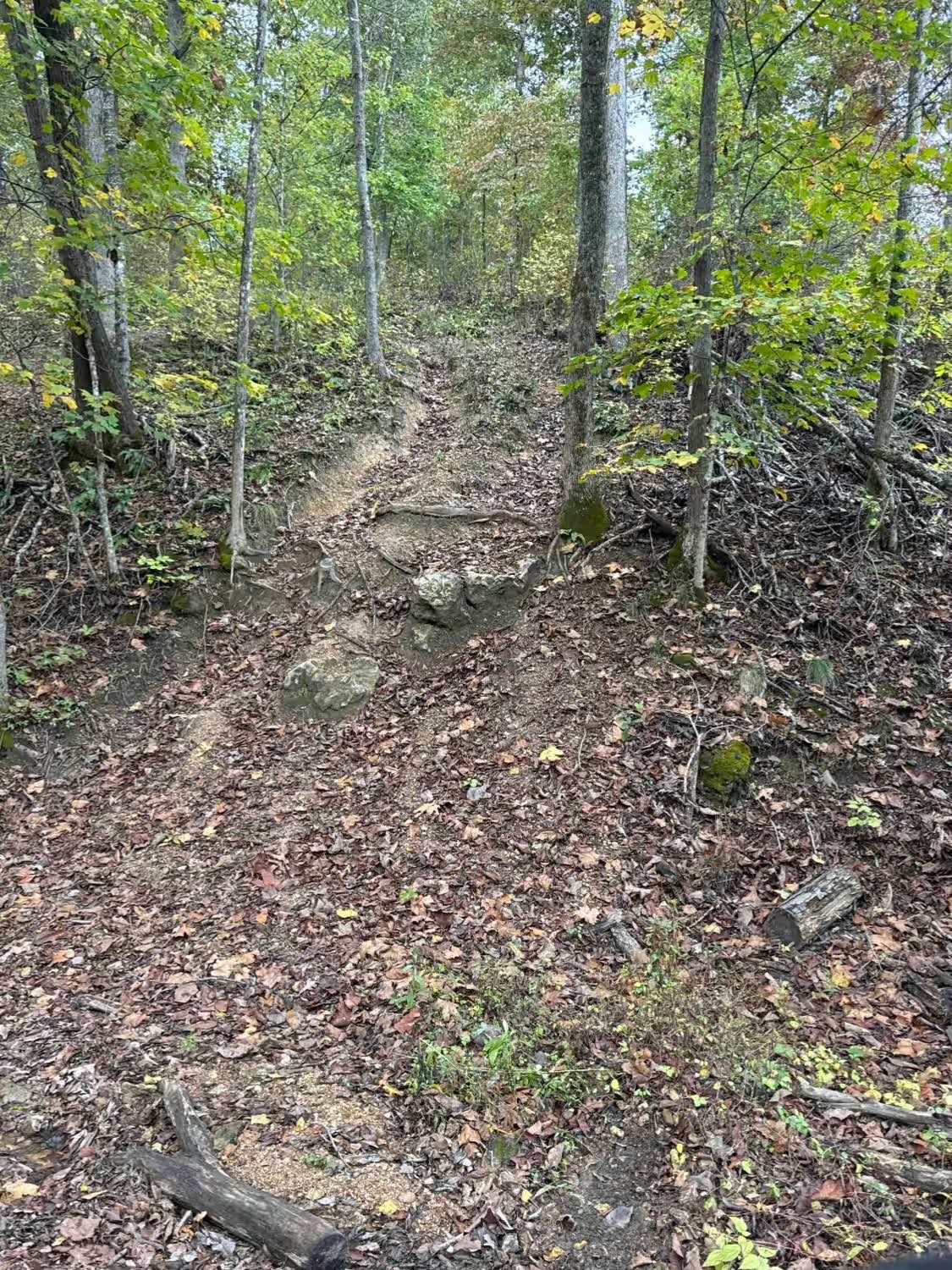
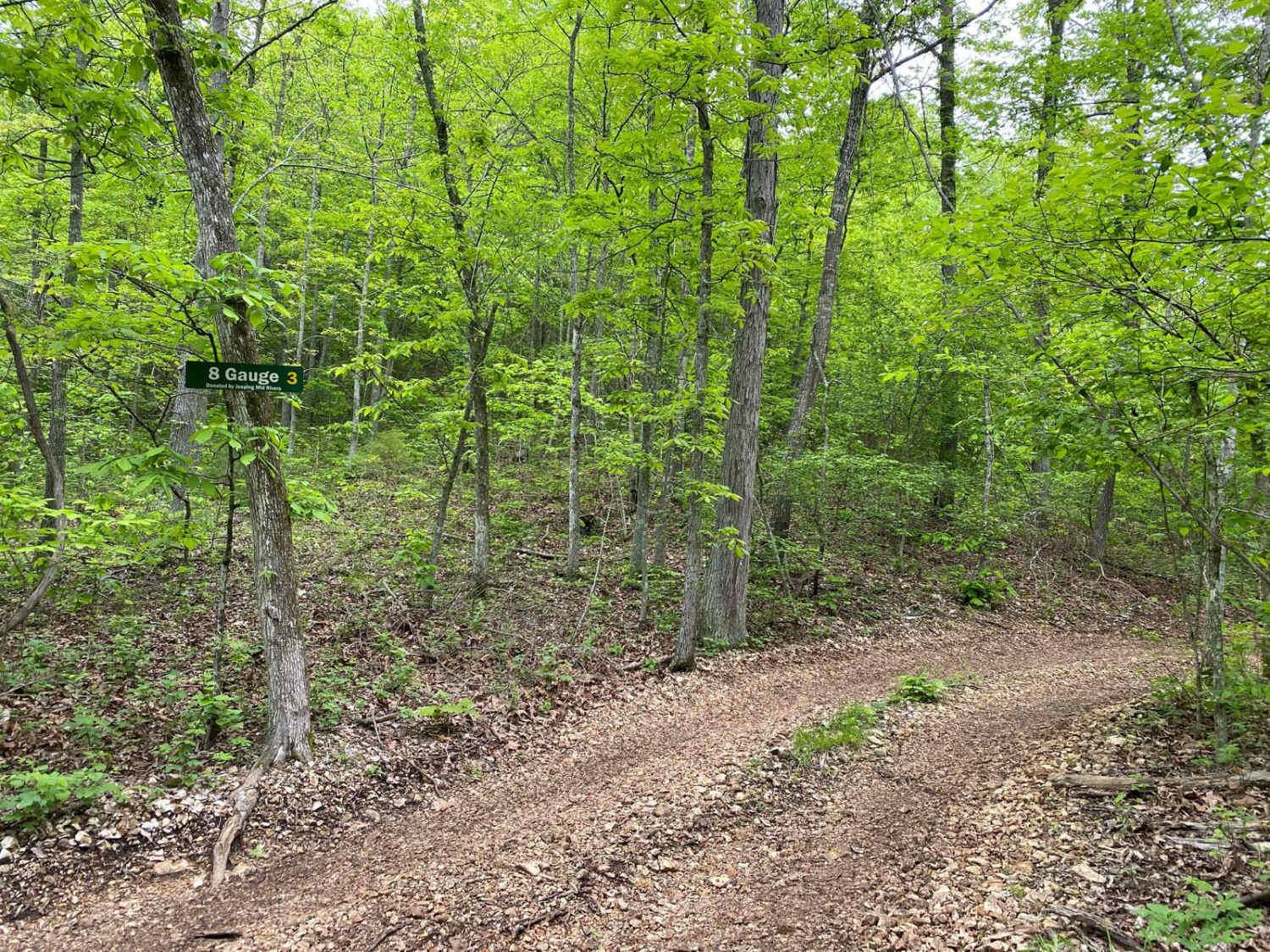
8 Gauge is a rocky trail that can be accessed from either Fence Road or PeeWee Crossing (Jeep Badge of Honor Trail). It is non-directional and can be run from either direction. There is a section with small rock obstacles. If you come from Fence Road, the trail will come to a split where you can go ...
Learn more about 8 Gauge
Total Miles
0.2
Tech Rating
6Moderate
Best Time
Spring, Summer, Fall
Learn more about Akers Alley - SCR 308
Akers Alley - SCR 308 near undefined

Akers Alley - SCR 308

Akers Alley, or Eminence to Alley Springs Trail, West River Road, or Shannon County Road 308, is a coarse gravel road transforming into a natural riverside trail, within the Ozark National Scenic Riverway, and Shannon County land. The trail features the dynamic range the area is known for, the hills...
Learn more about Akers Alley - SCR 308
Total Miles
4.2
Tech Rating
4Moderate
Best Time
Spring, Summer, Fall, Winter
Learn more about Allen Branch FS 4004
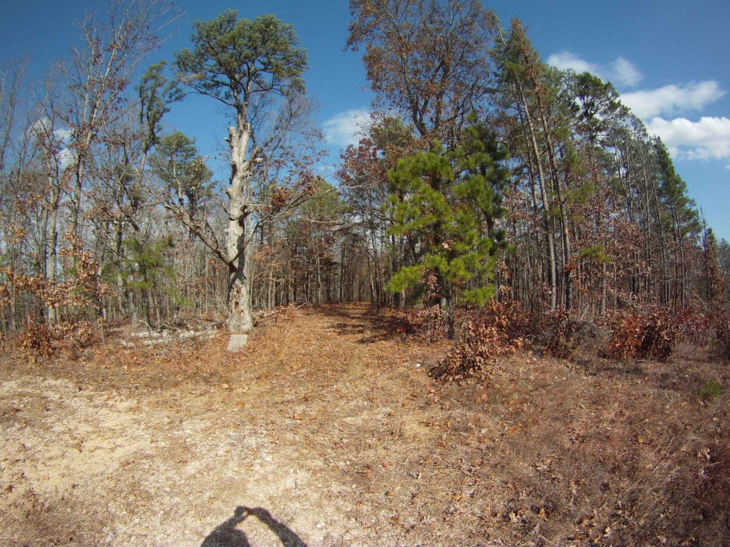
Allen Branch FS 4004  near undefined

Allen Branch FS 4004

Very easy up to the power line. It's a road. Easy access to a place to hike, camp, or hunt. Particularly to hike or hunt the power-line cut. After the power lines, it's a trail for about 125 yards. Towards the top staying to the left will connect to CR 605 [AKA Jinkerson Road which is paved] which c...
Learn more about Allen Branch FS 4004
Total Miles
2.3
Tech Rating
1Easy
Best Time
Spring, Summer, Fall, Winter
Learn more about Amidon Conservation Area Road
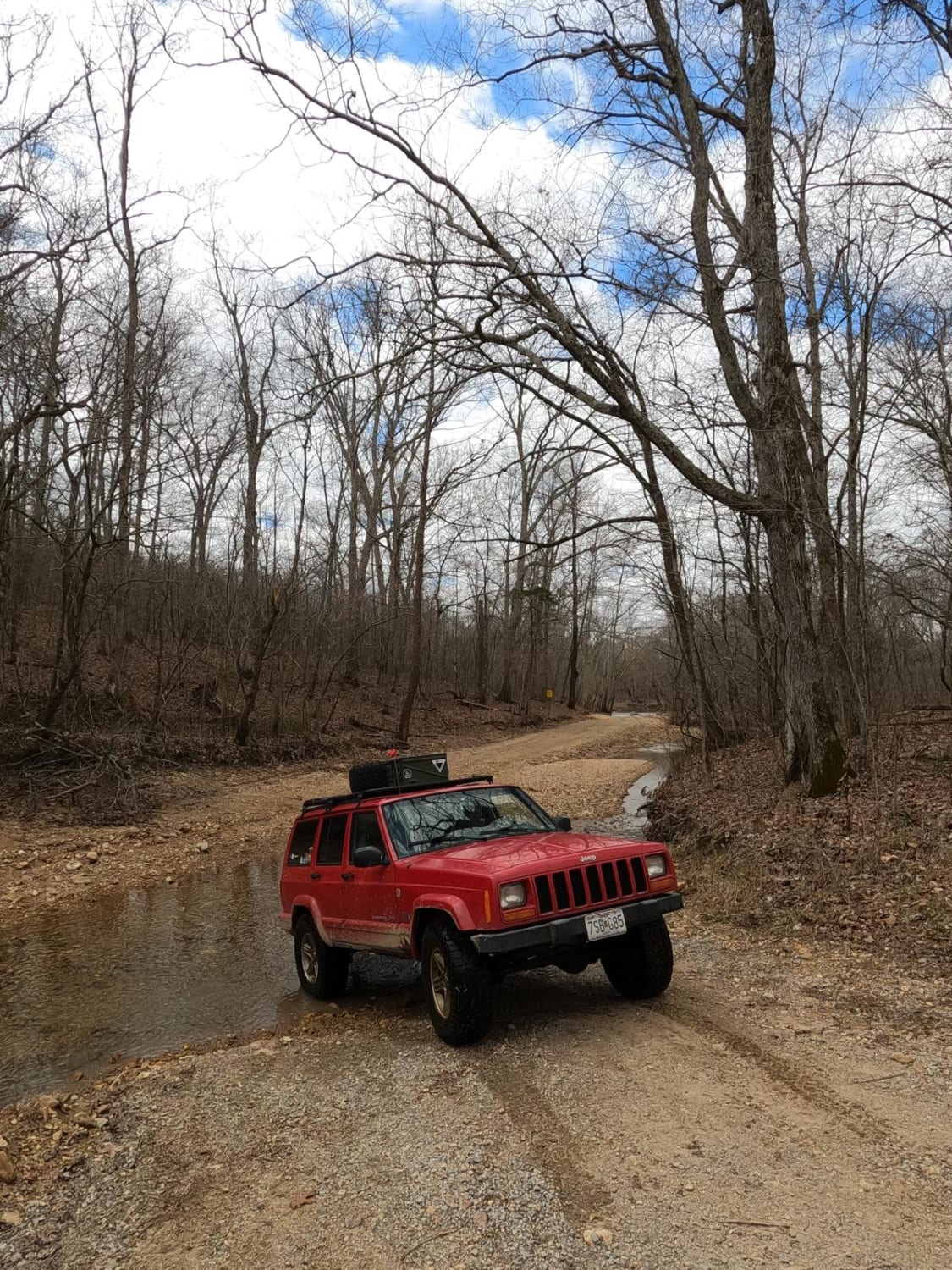
Amidon Conservation Area Road near undefined

Amidon Conservation Area Road

The Amidon Conservation Area Road is a gravel-based road, compromised of the Madison County 208, and the Bollinger County 928, that cuts through the center section of the Missouri Department of Conservation area of the same name. The land that this is cutting through is primarily used for various ty...
Learn more about Amidon Conservation Area Road
Total Miles
3.9
Tech Rating
5Moderate
Best Time
Spring, Summer, Fall
Learn more about Anderson Hollow (FSR 2168)
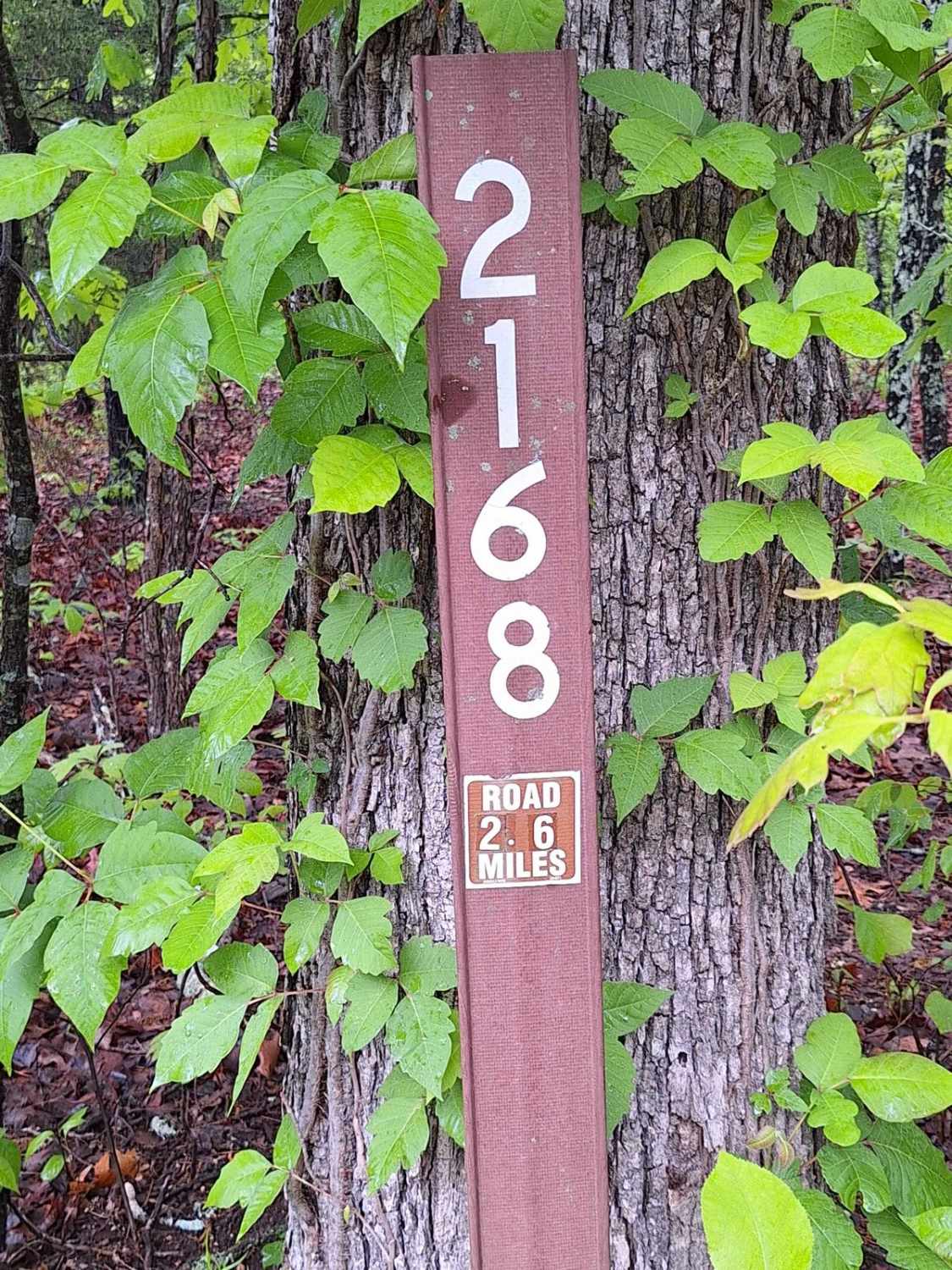
Anderson Hollow (FSR 2168) near undefined

Anderson Hollow (FSR 2168)

This road starts as well-maintained gravel for the first 300 feet and then quickly turns to a light gravel/dirt 2-track. This road will take you through Mark Twain National Forest land and dead-ends 2.8 miles in. On this road, you will find a beautiful drive through the hills and may get to experien...
Learn more about Anderson Hollow (FSR 2168)
Total Miles
2.6
Tech Rating
2Easy
Best Time
Spring, Summer, Fall, Winter
Learn more about Antioch FSR 2125
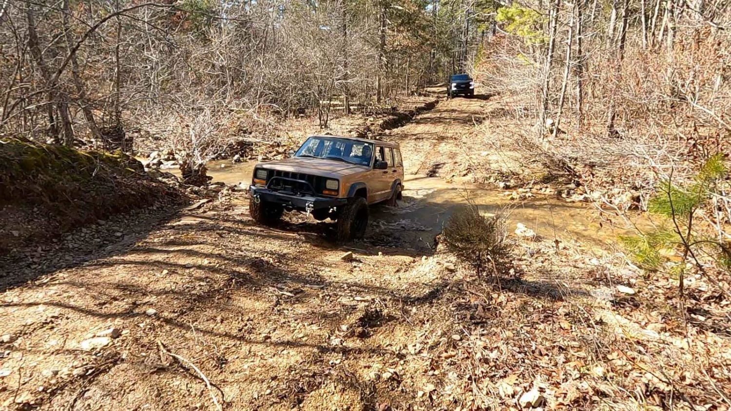
Antioch FSR 2125 near undefined

Antioch FSR 2125

Antioch FSR 2125 is a natural forestry service route tracking through the rocky terrain of the lower Fredericktown sector of Mark Twain National Forest. The precursor to the trail, the Madison County 410, features course creek gravel at it's base as it follows along Peters Creek, which adds a few lo...
Learn more about Antioch FSR 2125
Total Miles
3.7
Tech Rating
4Moderate
Best Time
Spring, Fall
Learn more about Appaloosa
Appaloosa near undefined

Appaloosa

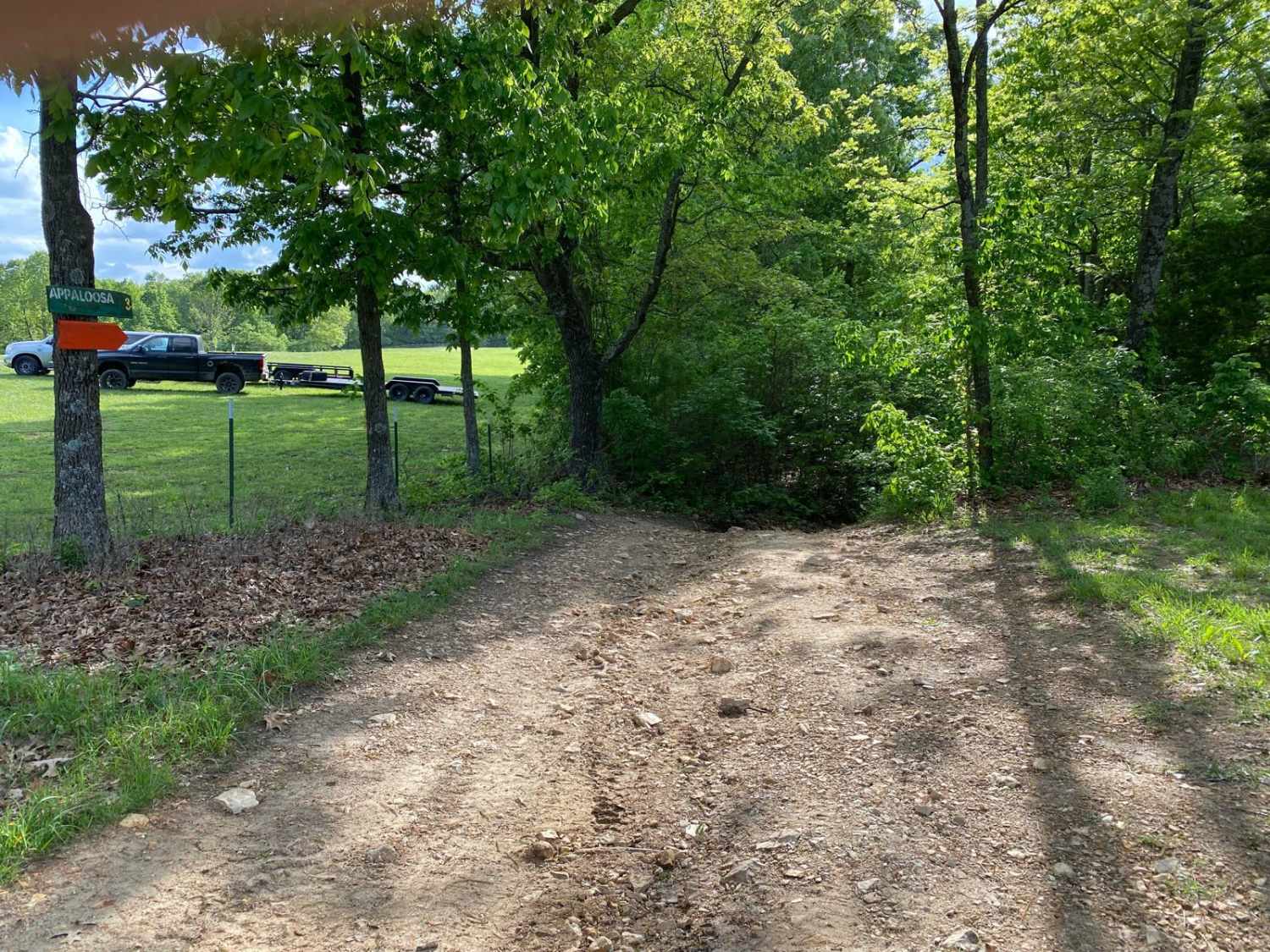
When entering the trail from Cedar Lane, there is a slight descent that turns into a lot of off-camber areas. Some areas of off-camber could result in body, roof/top, or bedside damage. Once out of the off-camber section, you will come to a large rock ledge that you will need to go down. This area i...
Learn more about Appaloosa
Total Miles
0.5
Tech Rating
6Moderate
Best Time
Spring, Summer, Fall
Learn more about Arch Cave Cliff Drive - 274
Arch Cave Cliff Drive - 274 near undefined

Arch Cave Cliff Drive - 274

Arch Cave Cliff Drive - 274 is a non-directional trail located directly south of the Office and shower house. You can run this trail from either direction; however, top-down may be easier. Arch Cave Cliff Drive 274 is connected to Green 33 at one end. The other end is a junction of trails that meet ...
Learn more about Arch Cave Cliff Drive - 274
Total Miles
0.2
Tech Rating
6Moderate
Best Time
Spring, Summer, Fall, Winter
Learn more about Area 51
Area 51 near undefined

Area 51

Area 51 is identified as trail number 24 in the whole trail system. This is a play area that is made of several lines. With jumps, areas of standing water, when there is water, as well as a corner that is slightly banked to be used as a mini-race track....
Learn more about Area 51
Total Miles
0.4
Tech Rating
2Easy
Best Time
Spring, Summer, Fall, Winter
Learn more about Arnett Mountain FSR 2191
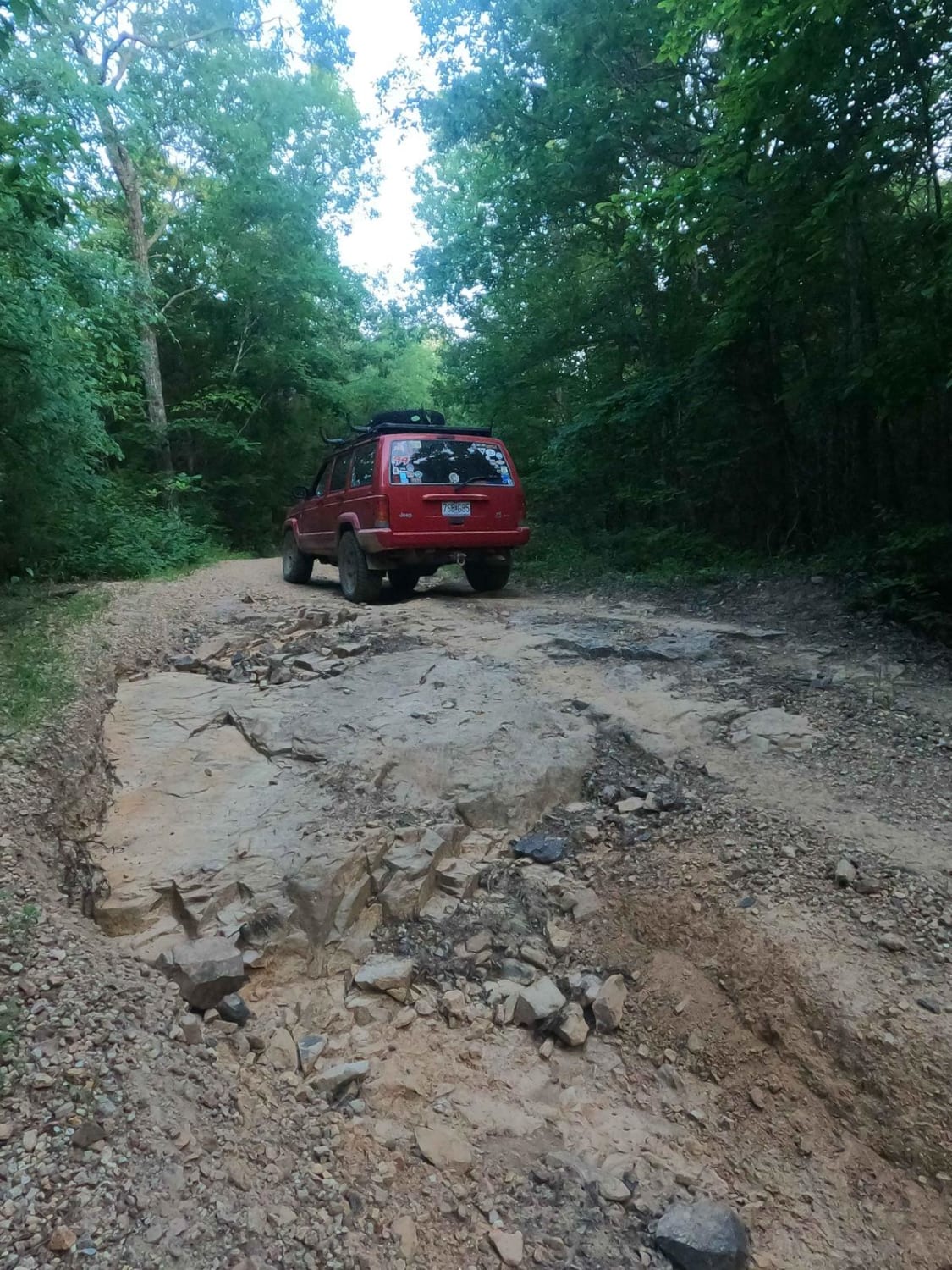
Arnett Mountain FSR 2191 near undefined

Arnett Mountain FSR 2191

Arnett Mountain FSR 2191 is a gravel-leaning natural forest road through the Fredericktown Sector of Mark Twain National Forest. The road starts at Pig Pen Gap fully gravel-covered and with trimmed tree lines, but shortly after the entrance, erosion ruts start to form and show that this trail is mor...
Learn more about Arnett Mountain FSR 2191
Total Miles
2.6
Tech Rating
3Easy
Best Time
Spring, Summer, Fall, Winter
Learn more about Assault Opossum Hill 16
Assault Opossum Hill 16 near undefined

Assault Opossum Hill 16

Assault Opossum Hill begins where Green 2 ends. As the name implies this is a hill climb. Roughly a quarter of the way through the trail is where the obstacles are located at. The other end of the trail that connects to Green 25 and Yellow 17 is flat gravel. You may also see an Amarillo or two also ...
Learn more about Assault Opossum Hill 16
Total Miles
0.3
Tech Rating
5Moderate
Best Time
Summer, Spring, Fall, Winter
Learn more about Austin's Corner 353
Austin's Corner 353 near undefined

Austin's Corner 353

Austin's Corner 353 is a non-directional trail that is located on the southeastern corner of the park. The end of Austin's Corner 353 is 3 bouncer trails, so if you are not able or comfortable completing those up and out then you will have to run this entire trail all the way out. From here you will...
Learn more about Austin's Corner 353
Total Miles
0.3
Tech Rating
7Difficult
Best Time
Spring, Summer, Fall, Winter
Learn more about AXC Crossing
AXC Crossing  near undefined

AXC Crossing

This crossing is a medium-lengthed trail that features some ruts and rock. The trail still provides beautiful scenery and a good way to get access to other challenges located close by, Be mindful of trail traffic and make sure to do your part in keeping the park clean and friendly for everyone....
Learn more about AXC Crossing
Total Miles
0.2
Tech Rating
3Easy
Best Time
Spring, Summer, Fall, Winter
Learn more about Backwoods Road
Backwoods Road near undefined

Backwoods Road

Backwoods Road is a dirt road that branches off of Ranch Road and leads to other trails. Backwoods Road is suitable for any vehicle. It is very dusty when there has not been recent rainfall. Backwoods Road will lead you to trails like Cold Mountain, Turkey Trot, Cougar Crossing, and Jagermeister....
Learn more about Backwoods Road
Total Miles
0.4
Tech Rating
1Easy
Best Time
Spring, Summer, Fall
Learn more about Bad Decisions
Bad Decisions near undefined

Bad Decisions

The name quite literally says it all. Bad decisions will offer a challenge that will push your abilities and your vehicle's ability to stay in one piece. The trail has a very tricky obstacle at a steep grade, loose rock, and a big rock face....
Learn more about Bad Decisions
Total Miles
0.1
Tech Rating
8Difficult
Best Time
Spring, Summer, Fall, Winter
Learn more about Bald Road to Western Road
Bald Road to Western Road near undefined

Bald Road to Western Road

This is part 3 of 5 on a trip around Fort Leonard Wood, Missouri. Here, you get into more of the Mark Twain National Forest. There will be several low-water crossings (they will all be impassable during high water)....
Learn more about Bald Road to Western Road
Total Miles
13.3
Tech Rating
2Easy
Best Time
Spring, Summer, Fall, Winter
Learn more about Bar-B-Q
Bar-B-Q near undefined

Bar-B-Q

This is a side trail you can take from Cherokee Pass back up to High Mountain Road, or you can take this trail from High Mountain Road and drop onto Cherokee Pass. From High Mountain Road, this is a nice easy trail. This trail is not traveled all that much, so there is plenty of overgrowth from tree...
Learn more about Bar-B-Q
Total Miles
0.2
Tech Rating
3Easy
Best Time
Spring, Summer, Fall
Learn more about Bass River Scenic Route
Bass River Scenic Route  near undefined

Bass River Scenic Route

This is a beautiful ride through Mark Twain National Forest on the northern portion of the Potosi district. There are lots of opportunities for photos and enjoying the scenery. You are likely to see deer and other animals along the route. Make sure to bring your swim trunks for a dip in the Huzzah C...
Learn more about Bass River Scenic Route
Total Miles
14.7
Tech Rating
2Easy
Best Time
Summer
Learn more about Bay Nothing Recreation Area 3140
Bay Nothing Recreation Area 3140 near undefined

Bay Nothing Recreation Area 3140

Forest Road 3140 starts at an elevation of 748 feet and then drops to an elevation of 381 feet at the river. This route is an easy gravel road that curves through the Mark Twain National Forest which is located in Missouri. 3140 ends at the Current River which is a part of the Ozark National Scenic ...
Learn more about Bay Nothing Recreation Area 3140
Total Miles
4.3
Tech Rating
1Easy
Best Time
Spring, Summer, Fall
Learn more about Bee Ridge FSR 3844/3844C
Bee Ridge FSR 3844/3844C near undefined

Bee Ridge FSR 3844/3844C

Bee Ridge FSR 3844 & 3844C are two forestry roads that seamlessly connect to form a fun little trek through Mark Twain National Forest. The 3844 part of the trail is a well wore in gravel road with dirt patches. It starts right off the edge of US-67 and shortly after takes you up a small rutted incl...
Learn more about Bee Ridge FSR 3844/3844C
Total Miles
2.5
Tech Rating
3Easy
Best Time
Spring, Fall
Viewing 20 of 692

The onX Offroad Difference

onX Offroad combines trail photos, descriptions, difficulty ratings, width restrictions, seasonality, and more in a user-friendly interface. Available on all devices, with offline access and full compatibility with CarPlay and Android Auto. Discover what you’re missing today!