Off-Road Trails in Missouri
Discover off-road trails in Missouri
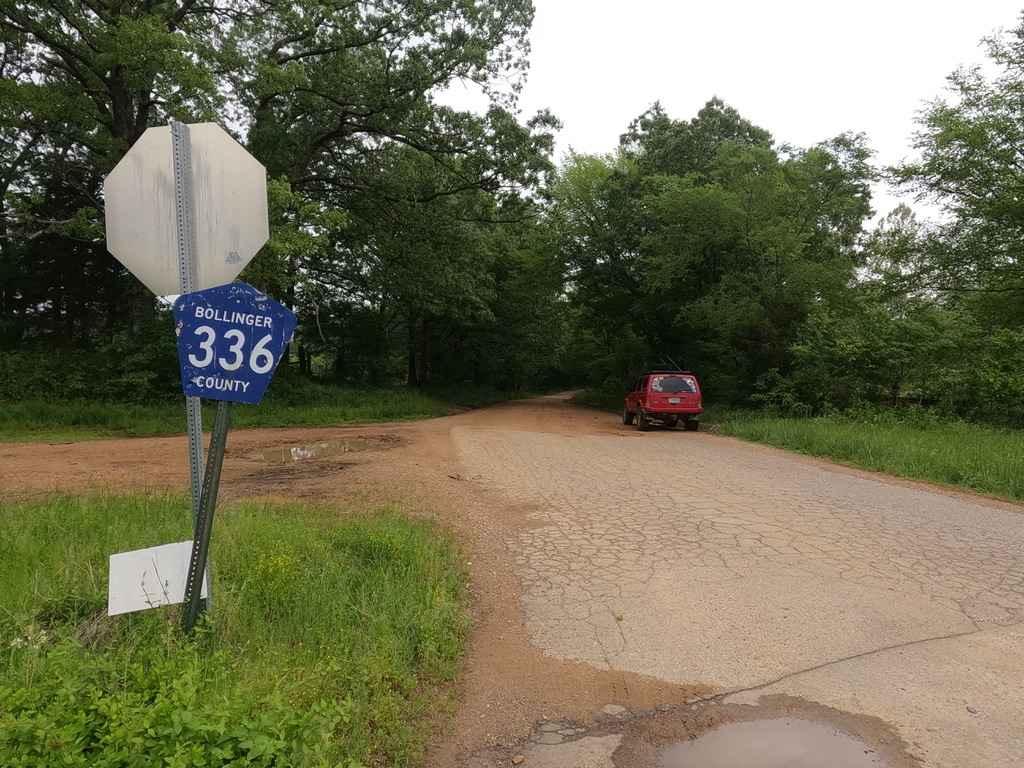
Learn more about Overgrowth Spur
Overgrowth Spur
Total Miles
1.0
Tech Rating
Easy
Best Time
Spring, Summer, Fall, Winter
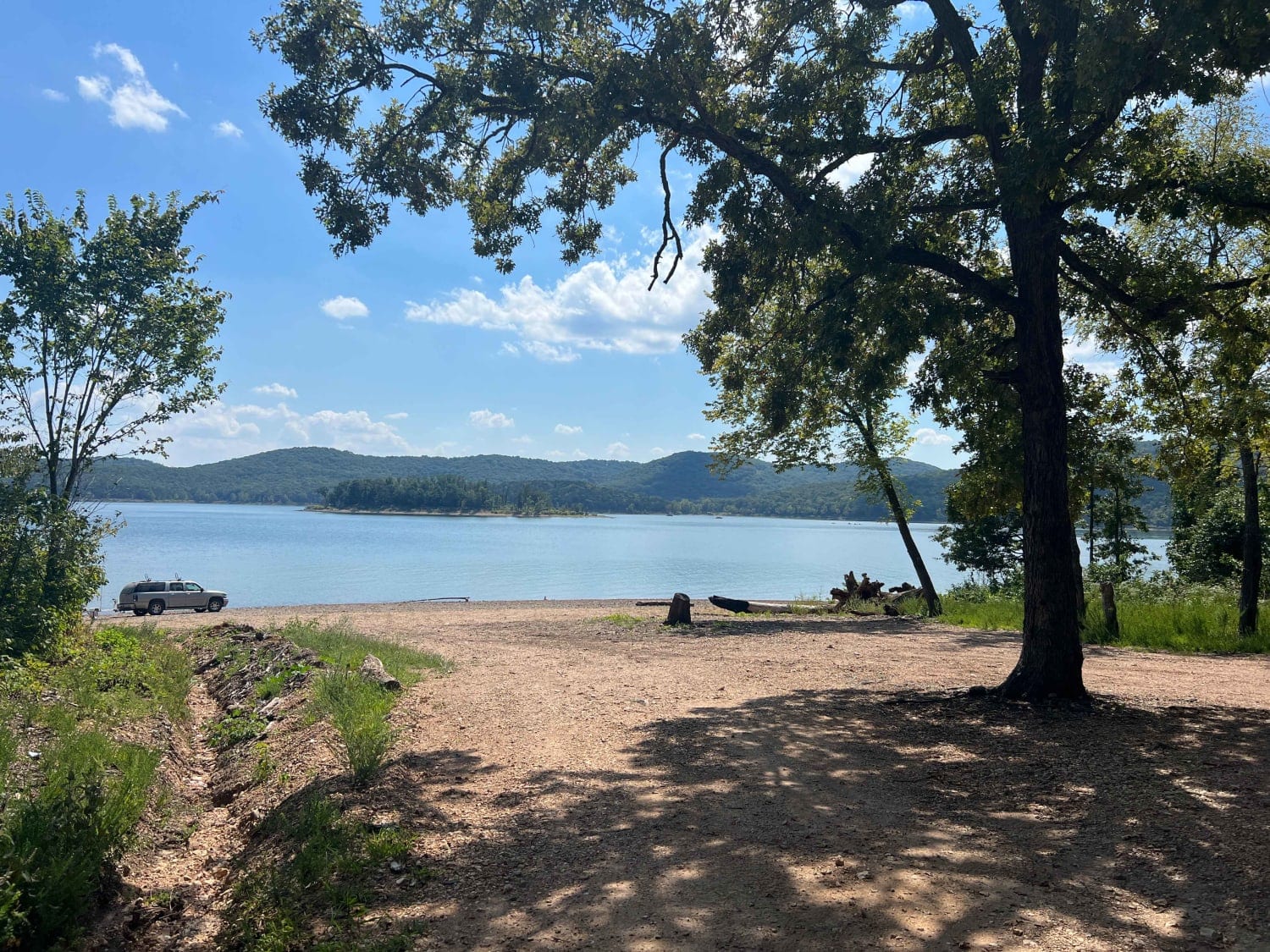
Learn more about Palmer Lake Loop
Palmer Lake Loop
Total Miles
1.6
Tech Rating
Easy
Best Time
Summer
Learn more about Palmer Mine - FSR 2382

Palmer Mine - FSR 2382
Total Miles
1.8
Tech Rating
Moderate
Best Time
Spring, Summer, Fall, Winter
Learn more about Parole Dam Trail
Parole Dam Trail
Total Miles
1.8
Tech Rating
Moderate
Best Time
Summer
Learn more about Pasture Parkway

Pasture Parkway
Total Miles
0.2
Tech Rating
Easy
Best Time
Spring, Summer, Fall
Learn more about Peacemaker
Peacemaker
Total Miles
0.2
Tech Rating
Easy
Best Time
Spring, Summer, Fall
Learn more about PeeWee Crossing
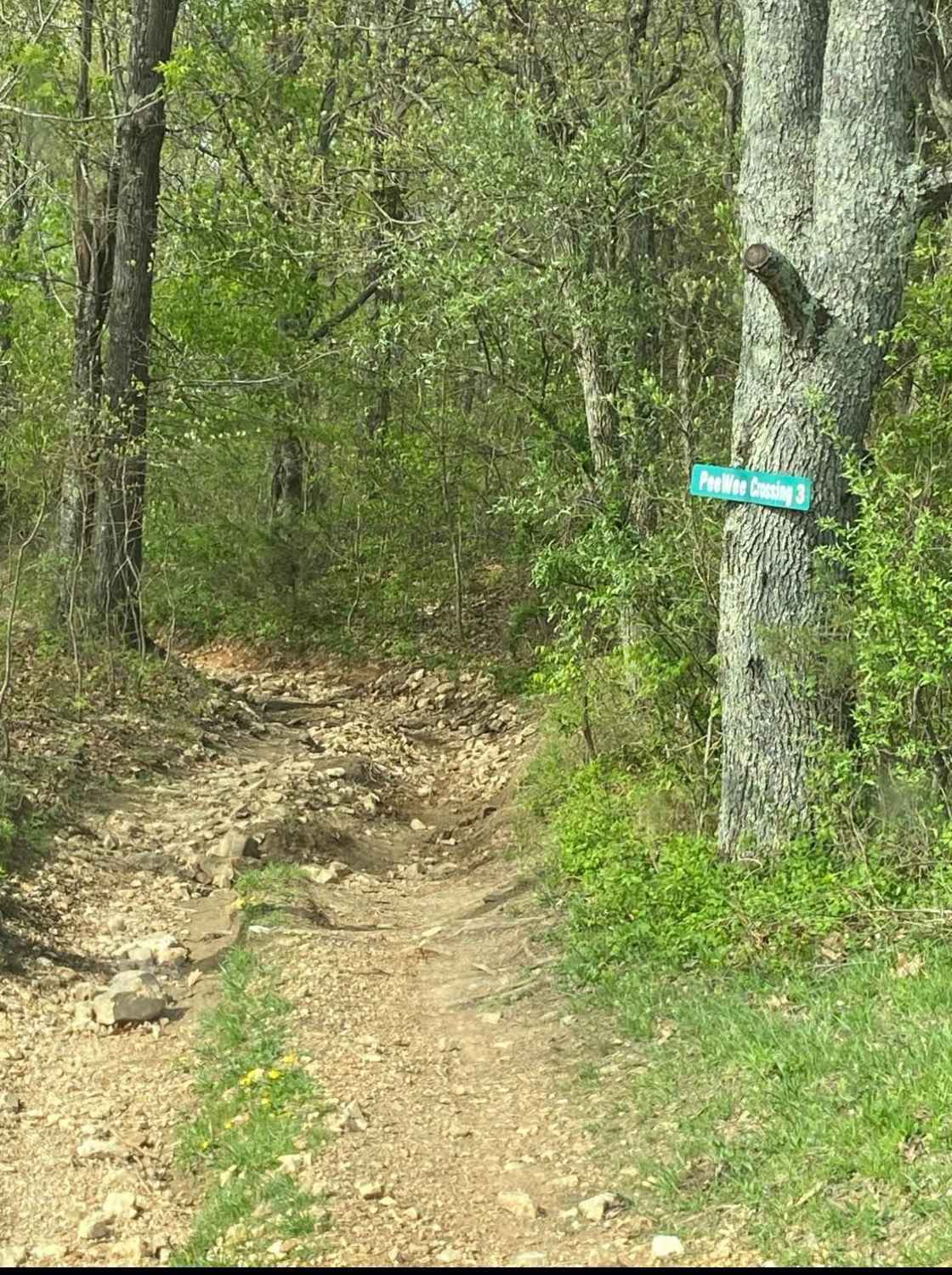
PeeWee Crossing
Total Miles
1.4
Tech Rating
Moderate
Best Time
Spring, Summer, Fall
Learn more about Peter Cave Hollow 2363
Peter Cave Hollow 2363
Total Miles
6.4
Tech Rating
Easy
Best Time
Spring, Summer, Fall
Learn more about Pine Union Hill FSR 2137
Pine Union Hill FSR 2137
Total Miles
0.4
Tech Rating
Moderate
Best Time
Spring, Fall
Learn more about Pine Union Hilltop FSR 2137
Pine Union Hilltop FSR 2137
Total Miles
1.7
Tech Rating
Easy
Best Time
Summer, Spring, Fall, Winter
Learn more about Pine Union Spur A FSR 2137A
Pine Union Spur A FSR 2137A
Total Miles
0.9
Tech Rating
Easy
Best Time
Spring, Fall
Learn more about Pine Union Spur B FSR 2137B
Pine Union Spur B FSR 2137B
Total Miles
0.8
Tech Rating
Easy
Best Time
Spring, Fall, Winter
Learn more about Piney Ridge
Piney Ridge
Total Miles
5.1
Tech Rating
Easy
Best Time
Spring, Summer, Fall, Winter
Learn more about Pump Station Road
Pump Station Road
Total Miles
5.3
Tech Rating
Easy
Best Time
Spring, Summer, Fall, Winter
Learn more about Rail Hollow
Rail Hollow
Total Miles
4.6
Tech Rating
Easy
Best Time
Spring, Summer, Fall, Winter
Learn more about Ranch Road
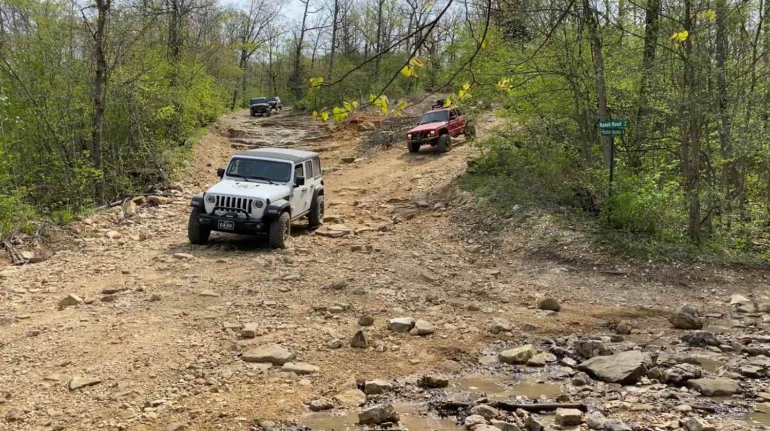
Ranch Road
Total Miles
3.1
Tech Rating
Easy
Best Time
Spring, Summer, Fall
Learn more about Reader Hollow FSR 2155
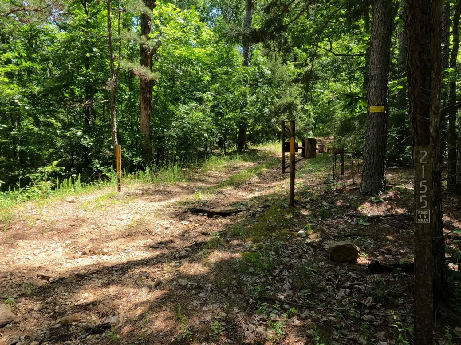
Reader Hollow FSR 2155
Total Miles
1.6
Tech Rating
Moderate
Best Time
Summer, Fall, Winter
Learn more about Reynolds - CR 468
Reynolds - CR 468
Total Miles
4.2
Tech Rating
Easy
Best Time
Spring, Summer, Fall, Winter
Learn more about Reynolds Ford Road
Reynolds Ford Road
Total Miles
7.4
Tech Rating
Easy
Best Time
Spring, Fall, Summer
Learn more about Ride Hook

Ride Hook
Total Miles
0.1
Tech Rating
Easy
Best Time
Spring, Summer, Fall
The onX Offroad Difference
onX Offroad combines trail photos, descriptions, difficulty ratings, width restrictions, seasonality, and more in a user-friendly interface. Available on all devices, with offline access and full compatibility with CarPlay and Android Auto. Discover what you’re missing today!