Reynolds Ford Road
Total Miles
7.4
Elevation
188.50 ft
Duration
0.5 Hours
Technical Rating
Best Time
Spring, Fall, Summer
Trail Overview
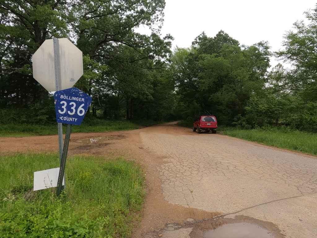
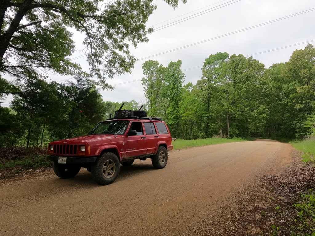
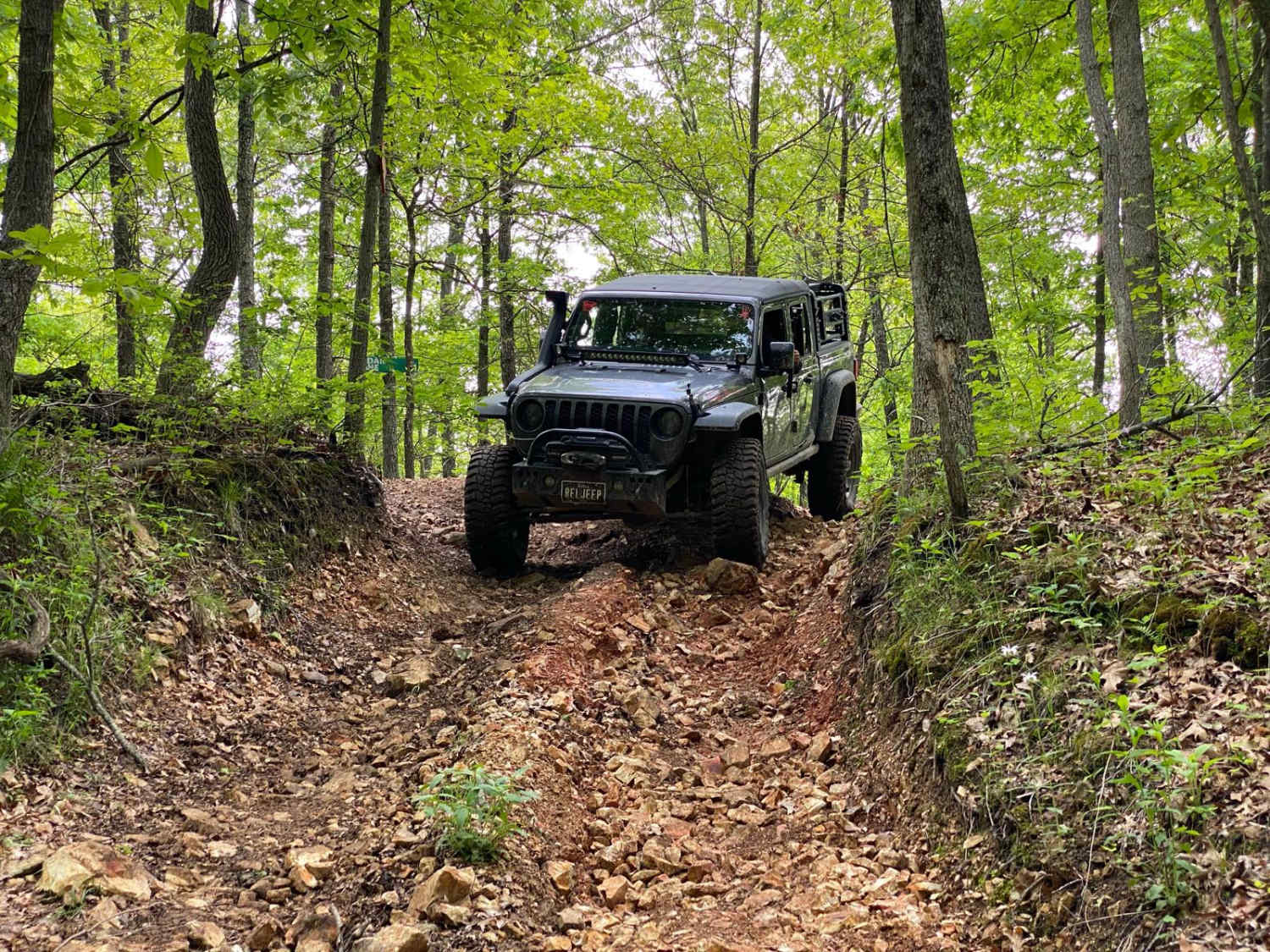
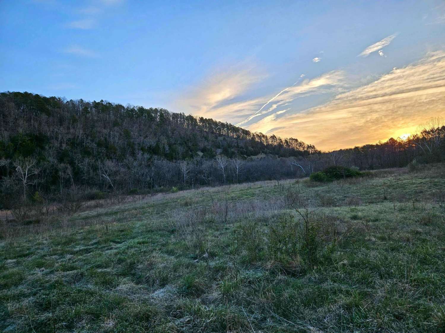
The Reynolds Ford Road is a road compromised of two county roads, the Bollinger County Road 336, and the Cape Girardeau County 350, that directly connect at the county line. The Cape Co side is the well-maintained smoother riding and the Bollinger Co side is more neglected and beaten in feel. The road is an ideal cruising back road, has great rolling hills, plenty of curves, and views of Missouri farmland, powerlines, and small river/creek bottom scenery. The road crosses the Little Whitewater Creek with a pristine bridge and parallels Panther Creek on the Bollinger Co side, despite the water being so close, you never have any major run-in with water, which is a little unusual in the area.
Photos of Reynolds Ford Road
Difficulty
The Reynolds Ford Road is a great example of a gravel backroad, features the typical complications with gravel, potholes, washboarding, and mounding, at it's worse has spots that fade to dirt, but even in it's worse is still doable with a 2WD. Would make a great route to run in snow to increase the difficulty.
Status Reports
Popular Trails
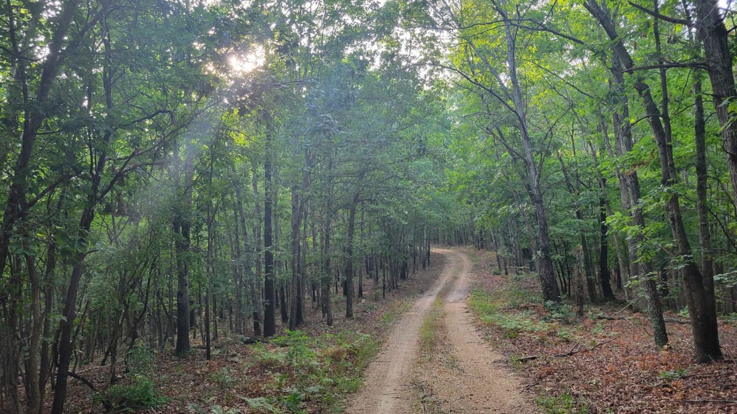
Gooseneck Trail
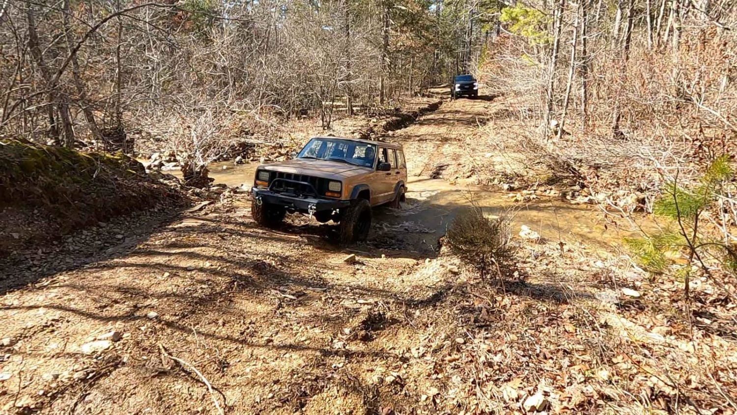
Antioch FSR 2125
The onX Offroad Difference
onX Offroad combines trail photos, descriptions, difficulty ratings, width restrictions, seasonality, and more in a user-friendly interface. Available on all devices, with offline access and full compatibility with CarPlay and Android Auto. Discover what you’re missing today!
