Hay Hollow
Total Miles
2.4
Technical Rating
Best Time
Fall
Trail Type
Full-Width Road
Accessible By
Trail Overview
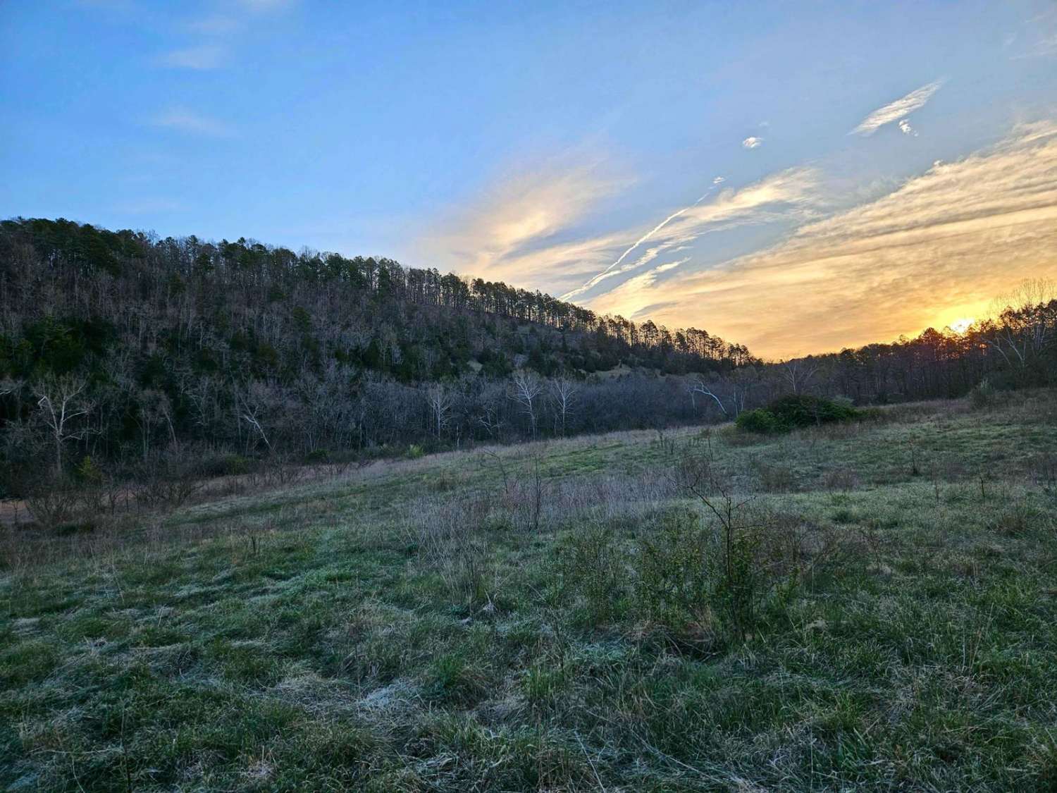
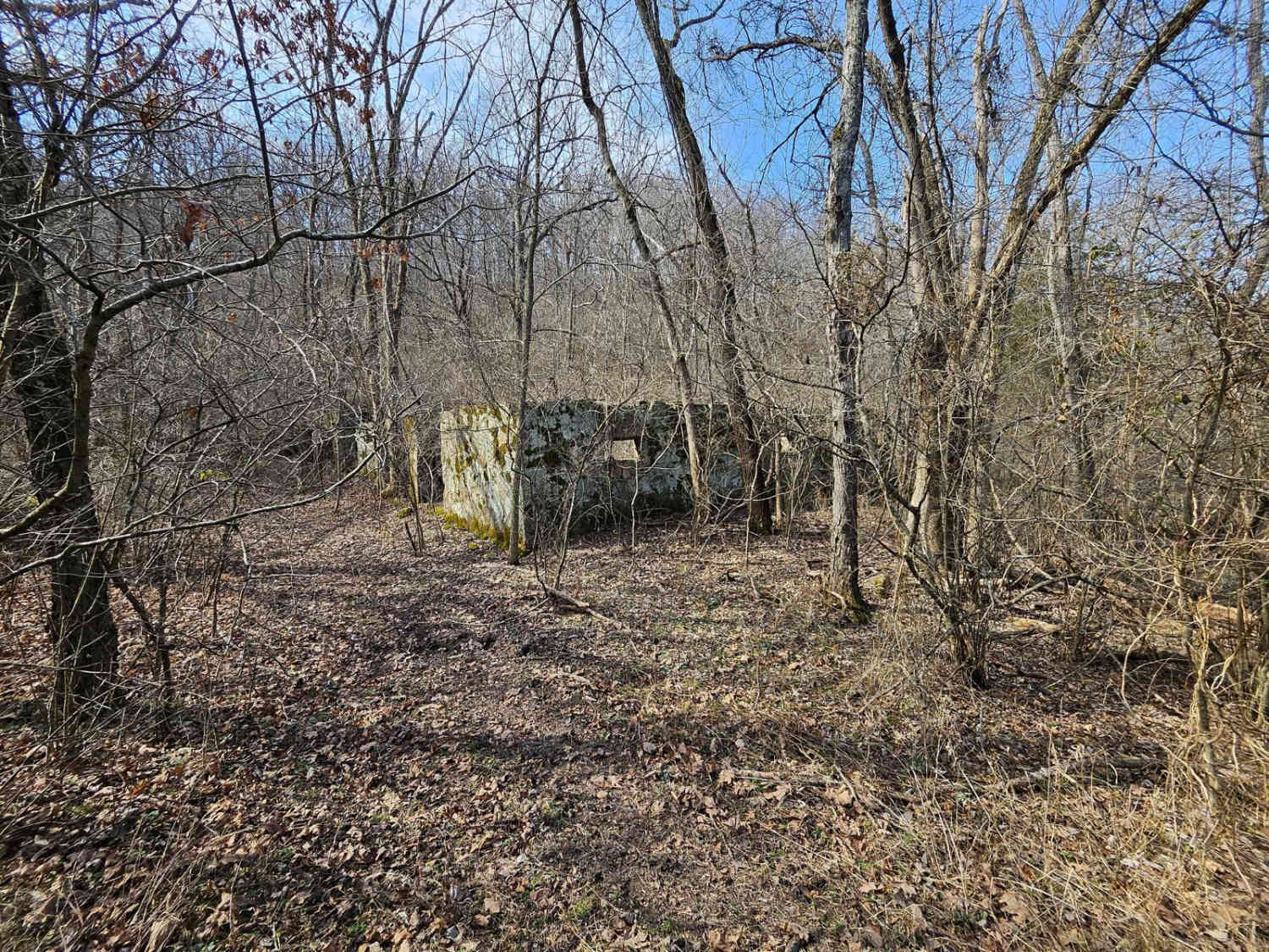
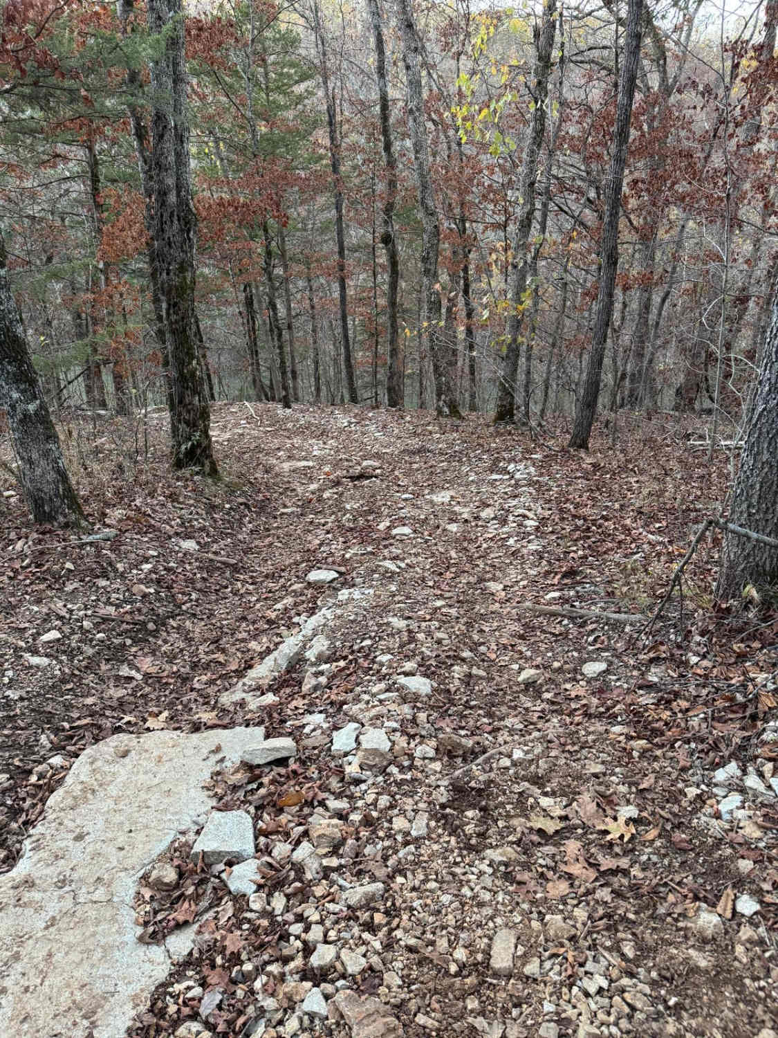
Hay Hollow FS 759 offers complex terrain, amazing views, historic sites, and fantastic camping. If running this trail from east to west, the trail starts with a large circle parking area (picnic table and fire pit). Follow a minor road where the actual trail begins. Immediately, you will cross Mine Hollow Branch Creek. Water levels are usually 6 inches deep. After coming out of the crossing, it's easy to miss Beaver Dam Lake, which is a great camp spot for one vehicle. As you progress down the trail, you'll encounter Tabor Creek, usually dry year-round (Proceed with caution if flowing). Just after Tabor Creek, there's a small, rutted clay hill climb. Once you've conquered this, the road crosses the Ridge Runner hiking path. The trail then opens up into a vast hay field, making navigation a breeze. The trail offers stunning views of large bluffs. Keep following the trail, and you'll stumble upon a unique patch of rocks known as the 'Little Mojave Desert' by the locals. This spot is a great place to camp with multiple vehicles. There is an old settlement nearby, and it is easy to miss the random turn-off, which has a 4-foot hill to climb. This path will lead you to a vast stone building and an active well with flowing water--the highlight of Hay Hollow. The trail continues through the hollow till you cross Tabor Creek again and exit the trail by Twin Bridges.
Photos of Hay Hollow
Difficulty
Any vehicle with standard 4WD will complete the trail with ease.
History
Beaver Dam is probably the largest and oldest in Missouri. Many locals have heard about it since before the 1980s. The Rock House is still a mystery to even the Forest Service. Its sheer size leads them to believe that whoever owned it before was quite wealthy and mostly likely heard a large group of cows in the field.
Status Reports
Popular Trails

Yellow 98

Heavens Stairs R2

Yellow 20
The onX Offroad Difference
onX Offroad combines trail photos, descriptions, difficulty ratings, width restrictions, seasonality, and more in a user-friendly interface. Available on all devices, with offline access and full compatibility with CarPlay and Android Auto. Discover what you’re missing today!


