Off-Road Trails in Missouri
Discover off-road trails in Missouri
Learn more about Wash Creek Road
Wash Creek Road
Total Miles
6.5
Tech Rating
Easy
Best Time
Spring, Summer, Fall, Winter
Learn more about Wayne County Road 537

Wayne County Road 537
Total Miles
3.6
Tech Rating
Easy
Best Time
Spring, Summer, Fall, Winter
Learn more about Well Hollow
Well Hollow
Total Miles
0.5
Tech Rating
Moderate
Best Time
Spring, Summer, Fall, Winter
Learn more about West Boundary FR 1672
West Boundary FR 1672
Total Miles
1.5
Tech Rating
Easy
Best Time
Fall, Summer, Spring
Learn more about West Brown's Hollow

West Brown's Hollow
Total Miles
2.5
Tech Rating
Easy
Best Time
Spring, Summer, Fall, Winter
Learn more about West Fork East - FS 509
West Fork East - FS 509
Total Miles
2.4
Tech Rating
Easy
Best Time
Spring, Summer, Fall, Winter
Learn more about West Fork West - FS 509

West Fork West - FS 509
Total Miles
2.7
Tech Rating
Moderate
Best Time
Spring, Summer, Fall, Winter
Learn more about Whitewater Creek Road
Whitewater Creek Road
Total Miles
2.8
Tech Rating
Easy
Best Time
Spring, Summer, Fall, Winter
Learn more about Whitewater Presbyterian Church Road
Whitewater Presbyterian Church Road
Total Miles
2.2
Tech Rating
Easy
Best Time
Spring, Fall, Summer, Winter
Learn more about Whitey's Hideout
Whitey's Hideout
Total Miles
0.4
Tech Rating
Easy
Best Time
Spring, Summer, Fall
Learn more about Whizenhunt Bottoms
Whizenhunt Bottoms
Total Miles
2.1
Tech Rating
Easy
Best Time
Spring, Summer, Fall, Winter
Learn more about Wild Horses - SCR 211

Wild Horses - SCR 211
Total Miles
3.3
Tech Rating
Easy
Best Time
Spring, Summer, Fall, Winter
Learn more about Williams Branch
Williams Branch
Total Miles
3.4
Tech Rating
Moderate
Best Time
Spring, Summer, Fall, Winter
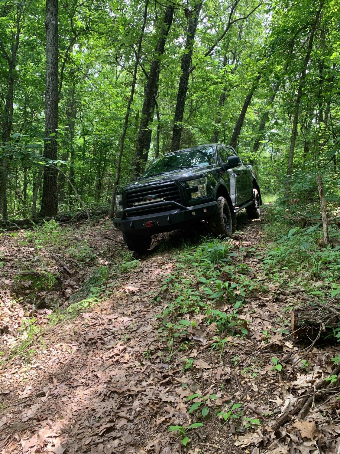
Learn more about Wishbone
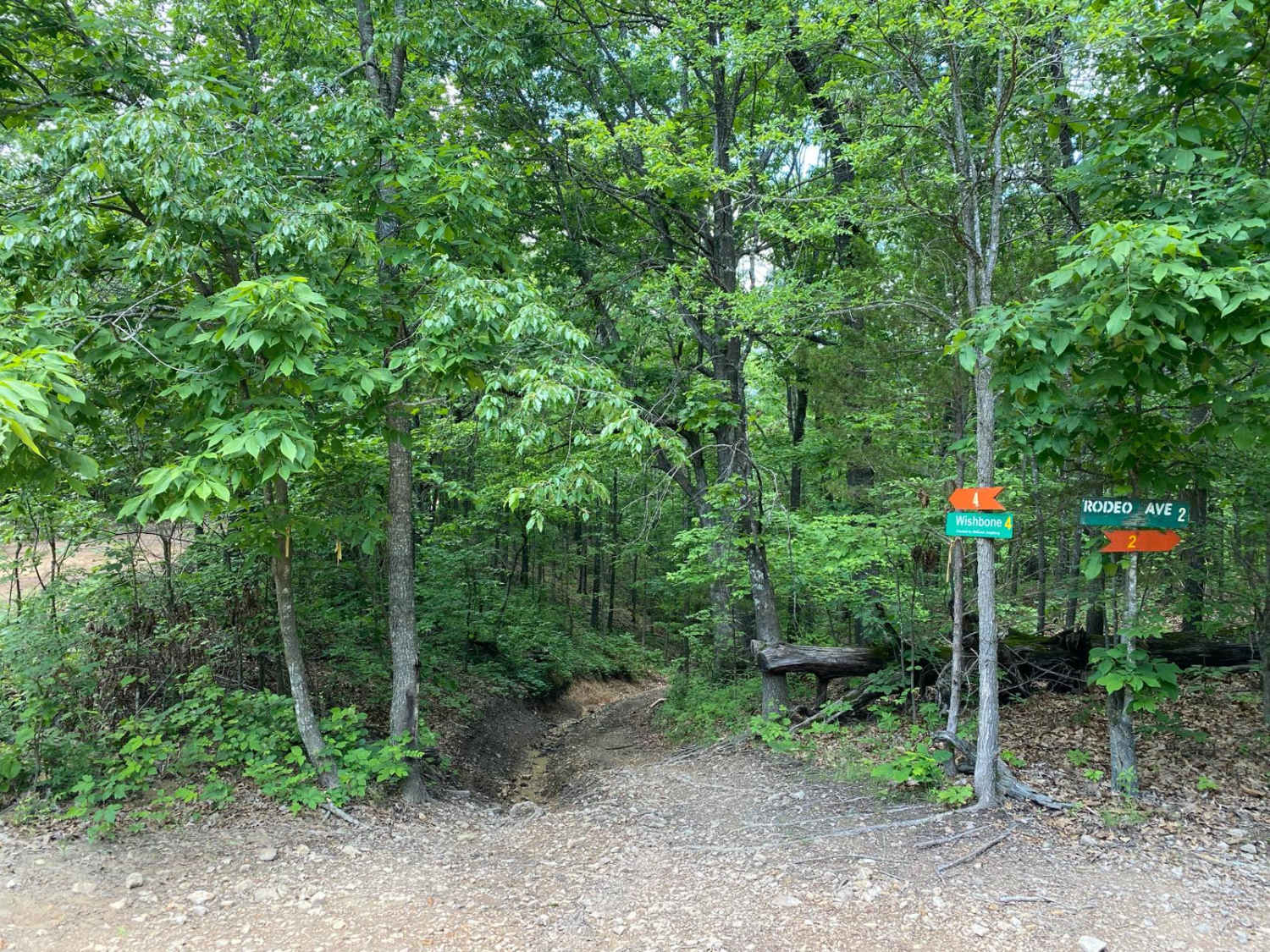
Wishbone
Total Miles
0.2
Tech Rating
Difficult
Best Time
Spring, Summer, Fall
Learn more about Wolf Creek FSR 3107
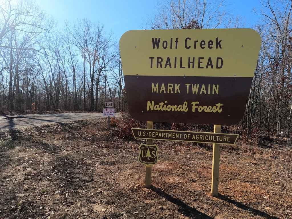
Wolf Creek FSR 3107
Total Miles
2.2
Tech Rating
Easy
Best Time
Spring, Summer, Fall, Winter
Learn more about Wolf Mountain - FSR 3213
Wolf Mountain - FSR 3213
Total Miles
5.5
Tech Rating
Easy
Best Time
Fall
Learn more about Yellow Ridge - FS 3579

Yellow Ridge - FS 3579
Total Miles
3.6
Tech Rating
Easy
Best Time
Spring, Summer, Fall, Winter
Learn more about Yellowjacket
Yellowjacket
Total Miles
0.5
Tech Rating
Easy
Best Time
Spring, Summer, Fall
The onX Offroad Difference
onX Offroad combines trail photos, descriptions, difficulty ratings, width restrictions, seasonality, and more in a user-friendly interface. Available on all devices, with offline access and full compatibility with CarPlay and Android Auto. Discover what you’re missing today!