West Fork East - FS 509
Total Miles
2.4
Technical Rating
Best Time
Spring, Summer, Fall, Winter
Trail Type
Full-Width Road
Accessible By
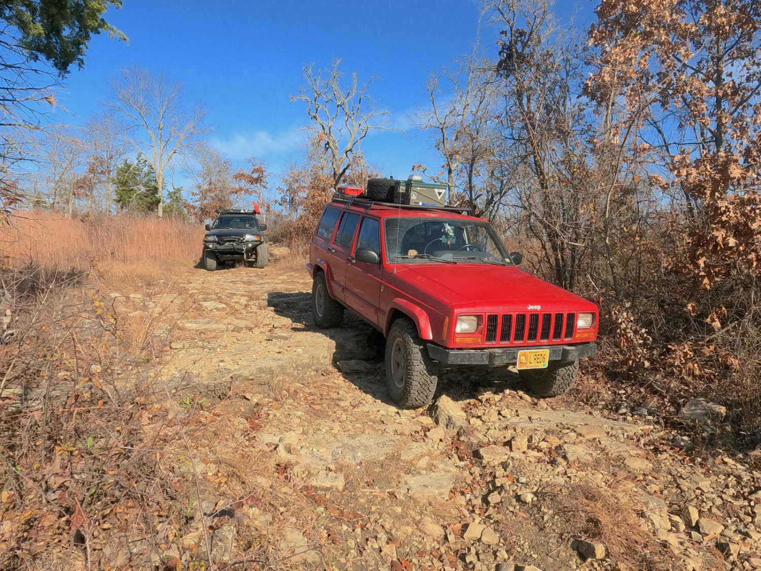
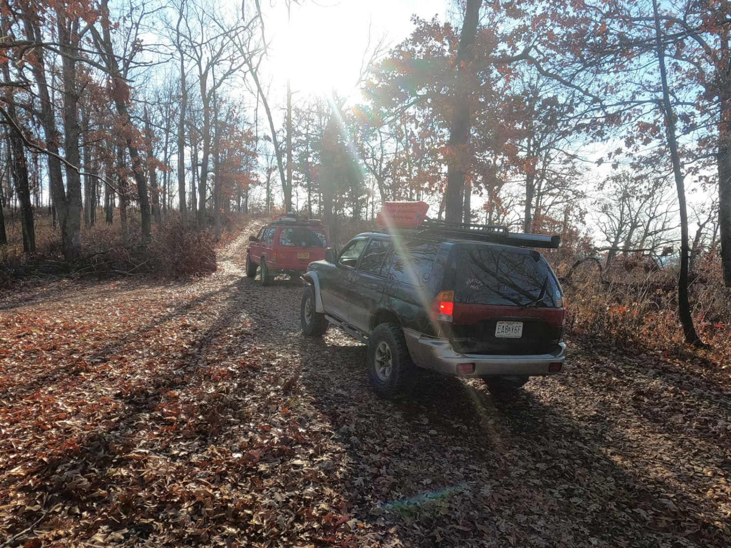
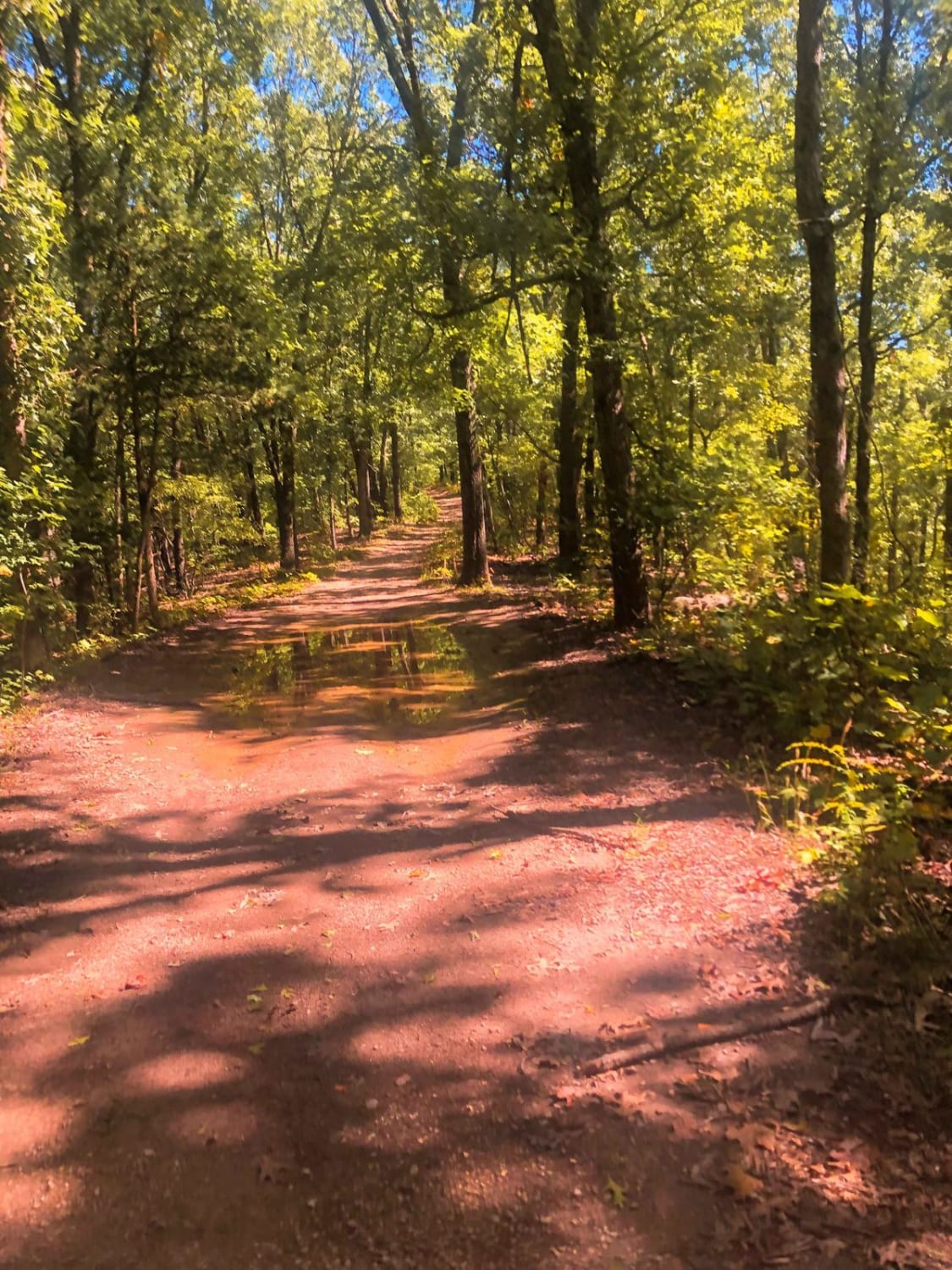
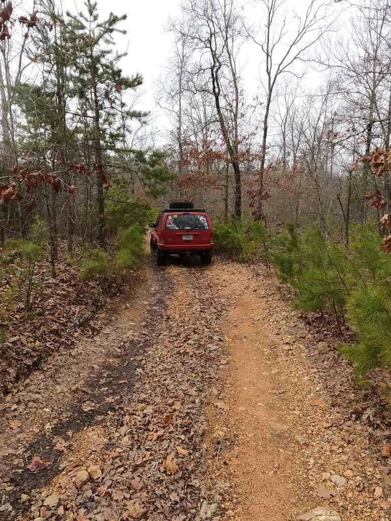
Trail Overview
West Fork East FS 509 is a natural terrain forestry road branching off the Glade Top National Scenic Byway within the Mark Twain National Forest Ava Unit. The trail traverses through scattered treelines and glade rock on the ridgetop above, to the legal ending point just uphill from the West Fork Creek, etching through the tree-dense valley below. The trail features a dirt and natural gravel foundation, small obstacles such as small rock ledges, natural cobble-sized rocks, small half-man boulders, and mild water holes. The trail boasts a great taste of entry technical difficulty, especially when using mostly stock vehicles, making the driver choose lines, determine tire placement, and get out to spot obstacles that are hard to see behind the wheel. The legal trail ends at a fork of two bottom loops at 36.63907, -92.82780. The loop connecting to the West Fork West - FS 509, despite being MVUM-sanctioned, has been closed for some time, featuring USFS no motor vehicle signage that's often damaged or missing. The loop to the east is non-MVUM, despite having evidence of being heavily used as the new loop trail to connect to the Tennyson Hollow West - FS 507. It is not advised to use this; turn around and head back to the north entry point. This is a great trail selection for a scenic and easy ride with a glimpse into the natural side trails of the Glade Top area.
Photos of West Fork East - FS 509
Difficulty
The West Fork East FS 509 features sections with large glade rock exposed at the surface, creating steps and small ledges that have a wide spectrum. The mandatory easy lines typically max out around 12-inch rock ledges, large cobbles (4- to 10-inch rocks), and the smallest of boulders (right at 10-inch+ rocks), giving the trail its 3/10 base rating. However, it can swing up to 18-inch ledges and small half-man boulders in a few optional harder lines, providing some 4/10 optional obstacles. There are also potential small water collection spots in a few instances, being less than 12 inches. The trail features an unsung difficulty. Watch out for the locust trees; the thorns they produce are known to puncture tires and are prevalent in areas of Glade Top.
History
The Glade Top Trail is a Civilian Conservation Corps [CCC] built road that was designated a Scenic Byway in 1989. Portions of Forest Roads 147, 149, and 150 comprise the trail. The trail follows a series of ridgetops through the central glade area of the White River Hills. The Glade Top Trail is little changed from the original road constructed by the Civilian Conservation Corps in the late 1930s. For twenty-three miles, the two-lane, all-weather gravel road follows narrow ridge tops rising approximately 500 feet above the surrounding rolling countryside and overlooks and passes through many limestone/dolomite glades interspersed with open and closed woodlands. Sourced from the USDA website.

Popular Trails

Yellow 59
Moss Gap Staircase
Pine Union Hilltop FSR 2137

Crawler Alley 23
The onX Offroad Difference
onX Offroad combines trail photos, descriptions, difficulty ratings, width restrictions, seasonality, and more in a user-friendly interface. Available on all devices, with offline access and full compatibility with CarPlay and Android Auto. Discover what you’re missing today!