Whizenhunt Bottoms
Total Miles
2.1
Technical Rating
Best Time
Spring, Summer, Fall, Winter
Trail Type
Full-Width Road
Accessible By
Trail Overview
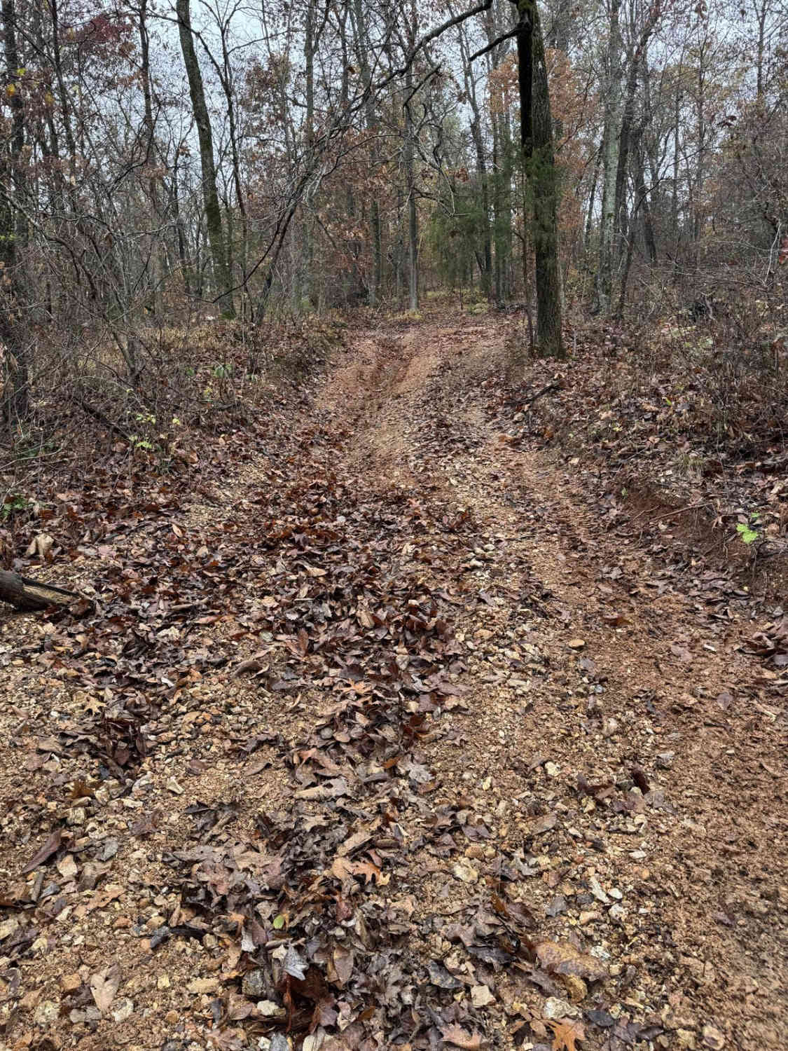
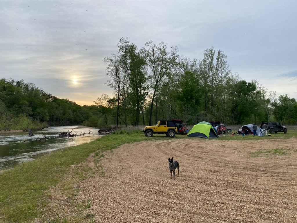
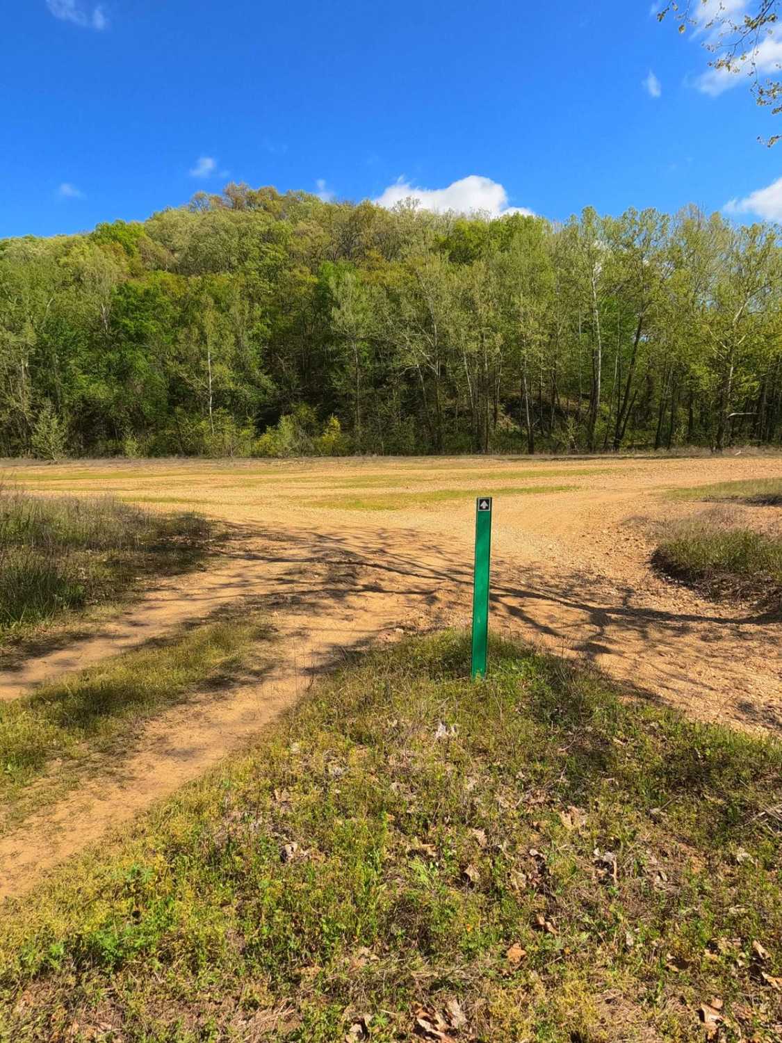
Whizenhunt Bottoms, also known as Whizenhunt Hollow Trail or simply The Bottoms, is a natural creek/river rock, sand, and dirt, with wooded trails leading to roughly 115 acres of open area along the Riverside Depths route of the Black River Bottoms area within the Clearwater Lake U.S. Army Corps of Engineer Land. When speaking of the Black River Bottoms, that title gives a blanket sweep of the area as a whole, but when talking about "The Bottoms", it is more so speaking of this specific spot at Whizenhunt Hollow, featuring a few defined entry points, to a vast open river bank area on the inside bend of the Black River. The terrain entering the area directly off the Central Bluffs and Spool Ridge Trails is wooded, with dirt/sand roads featuring small water collection holes and mud, tree roots, and dirt erosion/mounds as obstacles. Once past the well-defined wooded entry trails, the area opens up, and the terrain shifts to loose coarse river gravel with defined packed lines in spots, the main packed line being around the perimeter of the whole area, with a few areas along the track having defined pathways through small pockets of trees. The real fun of this spot is in the wide-open areas; almost anywhere can be driven, and the track is only limited by what level the river is at on the edges and what the rider wants to tackle. It features soft sections of sand and finer gravel, silty fine mud collection spots, loose mounds of rock that have collected in previous floodings or use of the area, and banked turns in spots, almost having a feeling of mini rocky dunes. Due to the nature of the river reshaping the bank and terrain, the area and entry points can always change, but as of 5/2024, there are two main sanctioned entry points. The north entry with the Spool Ridge Trail is at 37.27289, -90.77999. This is less likely to change as it is on higher ground and heads north, using 0.5 miles of wooded treeline trail before it hits the lower-laying open gravel bar bottoms. The south entry with the Central Bluffs Trail is at 37.27044, -90.77604, but is more likely to change, being in the lowland near the river and featuring 0.25 miles of wooded treeline trail before it hits the open gravel bar bottoms. Whizenhunt is the creme of the crop when it comes to dispersed camping in the area, with an abundance of suitable spots with excellent sights and accommodations to set up a comfortable camp and a place to start a fire. The rule of thumb of the area as a whole is the same here: don't drive in the direct Black River water, follow the green and red markers the Corps puts out, and it will show the sanctioned path to the Bottoms. only cross water at the obvious and sanctioned points; don't create new or modify trails and watch for major flooding in the area. If it is flooding, don't enter the water, as the terrain and depth would become unpredictable. Summed up, Whizenhunt Bottoms is the place to go and explore if sticking to the main path isn't your cup of tea, if you're seeking a camping spot, or you simply want to experience a thrilling ride featuring a great look at the Black River flowing by.
Photos of Whizenhunt Bottoms
Difficulty
Whizenhunt Bottoms on either end of the trail has a mix of small water crossings, hard and soft-bottomed water collection holes, erosion ruts, mud, and dirt berms to go over. Intertwined amongst tight trees, all within the 12-inch obstacle range of the 3/10 given base rating, the main bottoms area can feature all the noted above obstacles but also features loose and packed coarse creek gravel, fine sand sections, short steep mounds of the creek gravel forming mini dunes, banked turns, larger dirt berms, randomly placed logs, and water holes in the middle of the coarse rock which are much softer than they would seem. They all fit within the 3/10 given rating but could include optional lines pushing this rating if desired. All this said, in times of dry weather, the wet areas can potentially dry up, giving parts of this area a lesser 2/10 rating. Times with abundant rain or flash flooding could easily add a few feet of depth to the river, filling the water collection areas and water crossing points and yielding a higher 4/10 to 5/10 rating. In more extreme scenarios, Flash Flooding or Severe Flood stages can close the trail completely due to unpredictable depths of water and reshaped terrain. Be alert and check the water levels at the crossings before entering, and check the Annapolis Black River flood stage gauge (normal levels are 4-6, with flood stage being 6+). Pictures of the trail were taken at a 4- to 5-foot water level, well under the flood stage. Remember to stay out of the Black River water, and if in any doubt about the conditions or future forecast, don't enter the area if it is flooded.
History
The history surrounding the bottoms is one of fighting for public access. This is an example where the presence and public use of Reynolds County Roads 464, 462, 460, 458, 456, 446A, and more have been the driving force keeping these trails open. Locals refuse to let their historic roads be taken away, yielding a place we all can enjoy and use. Please do your part in keeping this place alive; pack it in/pack it out, follow the green and red route markers as marked, and don't drive in the Black River or form new trails.
Status Reports
Whizenhunt Bottoms can be accessed by the following ride types:
- High-Clearance 4x4
- SUV
- SxS (60")
- ATV (50")
- Dirt Bike
Whizenhunt Bottoms Map
Popular Trails

Yellow 87

Purple 329

Glenallen Road - BCR 804
The onX Offroad Difference
onX Offroad combines trail photos, descriptions, difficulty ratings, width restrictions, seasonality, and more in a user-friendly interface. Available on all devices, with offline access and full compatibility with CarPlay and Android Auto. Discover what you’re missing today!


