Yellow Ridge - FS 3579
Total Miles
3.6
Elevation
224.30 ft
Duration
0.5 Hours
Technical Rating
Best Time
Spring, Summer, Fall, Winter
Trail Overview
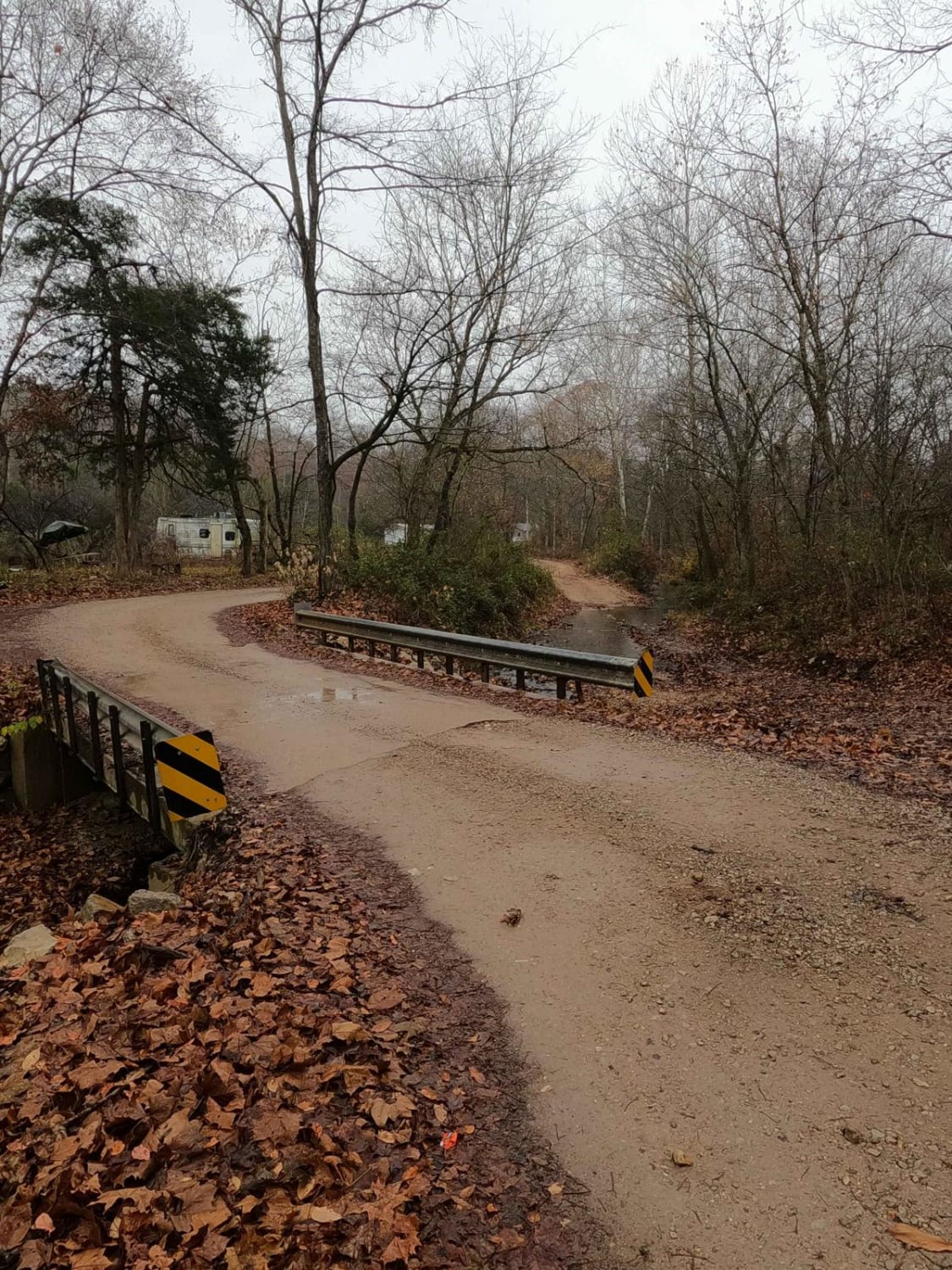
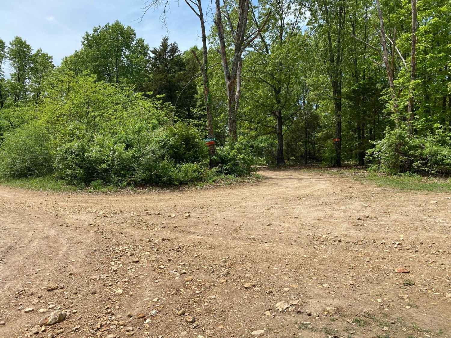
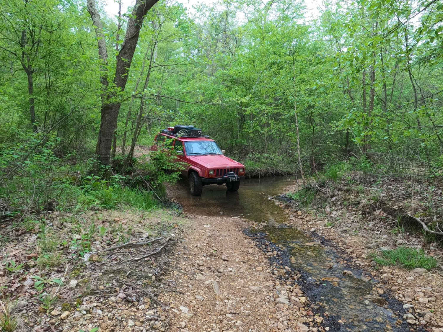
Yellow Ridge FS 3579, in addition to parts of the Wayne County Roads 537 and 538, forms a route including valley bottom public gravel road within Wayne County, Missouri, and a hilly forest road within the Poplar Bluff Unit of Mark Twain National Forest. This road is a great example of the Missouri culture of offroading that can consist of just going down public county roads within the rolling Missouri landscape; a sizeable amount of offroading can be found on the public roads people use to get to their properties. That said, the Wayne County side of this road features the most fun obstacle, an optional creek bed crossing that features loose gravel and potential shallow water crossing. The forestry side of the road features a mild uphill climb, featuring small-time erosion ruts, and in other spots, the gravel fades to dirt and thin mud. Once at the peak elevation of the trail, you will cross a buried natural gas pipe, and the cleared trunkline it rests in, found at 37.12491, -90.40795. The spot is very scenic, featuring a view westward looking at the other rolling hills of the Finleys Mountains. The forestry road ultimately finishes up running the ridge top to a final ending turnaround point, featuring several hunting and camping cutouts along the way.
Photos of Yellow Ridge - FS 3579
Difficulty
The Yellow Ridge is generally simple, featuring the usual gravel road complications of potholes, washboards, and mounding, with potential small erosion ruts forming in between maintenance cycles. What gives it the edge over a 1/10 is the optional creek crossing on the Wayne County Road 538, which bumps it to a 2/10 for the loose creek bed gravel and the shallow water crossing. This creek in summer could potentially be mostly dry, but in flash flooding could be several feet deep with the right conditions. Its most normal state is generally 6-12 inches in depth. Outside of this, the forestry side of the trail features mild grades, featuring mild 6-inch-deep erosion ruts and occasional soft spots where the gravel fades and could produce small thin mud. Note that the difficulty would increase in times of wet conditions and inclement weather.
Status Reports
Popular Trails
Holmes School FSR 3614
Castor River CA Camp Road
Dafron Branch Trail
The onX Offroad Difference
onX Offroad combines trail photos, descriptions, difficulty ratings, width restrictions, seasonality, and more in a user-friendly interface. Available on all devices, with offline access and full compatibility with CarPlay and Android Auto. Discover what you’re missing today!

