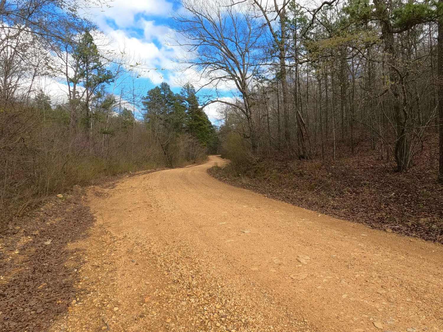
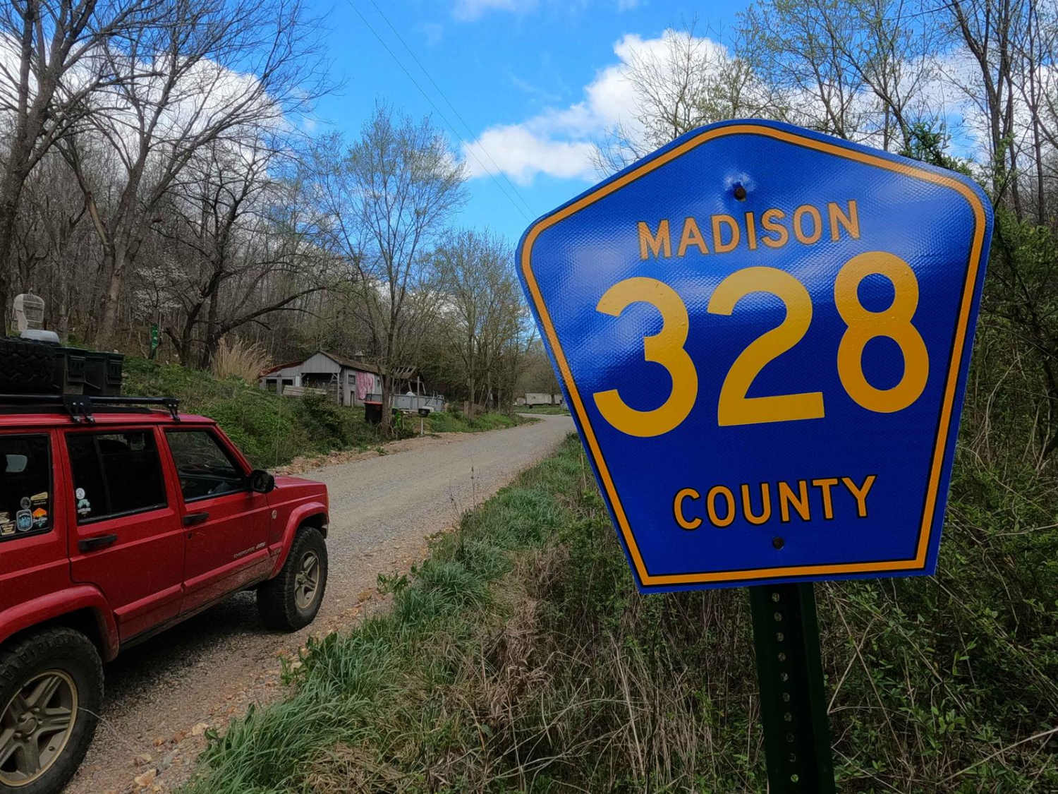
Wash Creek Road
Total Miles
6.5
Elevation
250.93 ft
Duration
0.5 Hours
Technical Rating
Best Time
Spring, Summer, Fall, Winter
Trail Overview
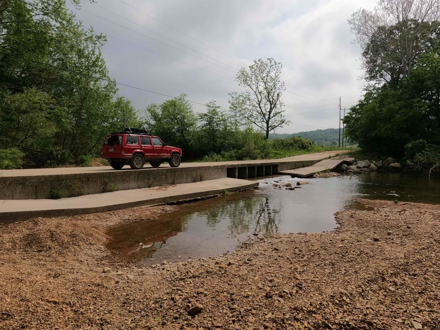
Wash Creek Road is comprised of Madison County Road 328 on the far west portion and Bollinger County Road 846 for the middle and far east portion. The road features riding parallel along the Wash Creek on the west end, then touches a small section of Mark Twain National Forest in the middle, eventually crossing the Hawn and Crooked Creeks alongside the Hawn Conservation Area all in the east portion, together giving the dynamic range of creeks, old homesteads, one lane bridges, and scenic landscapes that Missouri's hills and valleys are known to have. The road is rough in places featuring coarse creek gravel for a road surface with small natural rocks sticking out at the surface over moderately steep grades over the hills, and may include water splashes depending on the weather and creek volumes. All in all, a fun logistical, and scenic road to keep away from the paved roads, and promote continued exploration.
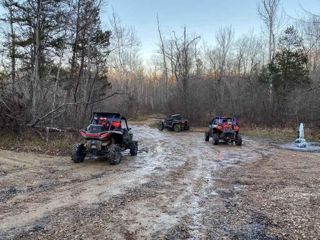
Photos of Wash Creek Road
Difficulty
Wash Creek Road is a simple gravel road. It is semi-maintained, and it is given a base rating of 1/10, consisting of semi-steep grades up and down the rolling hills of the area. Expect natural rock to be sticking out at the surface, along with washboards, potholes, mounding of the gravel, and potential mild signs of erosion on the hills. The road could experience difficulty increases in times of heavy use, wet conditions, and inclement weather, this could yield small water splashes or crossings along the road.
Status Reports
Popular Trails
Old Scopus Road
Pine Union Hill FSR 2137
The onX Offroad Difference
onX Offroad combines trail photos, descriptions, difficulty ratings, width restrictions, seasonality, and more in a user-friendly interface. Available on all devices, with offline access and full compatibility with CarPlay and Android Auto. Discover what you’re missing today!