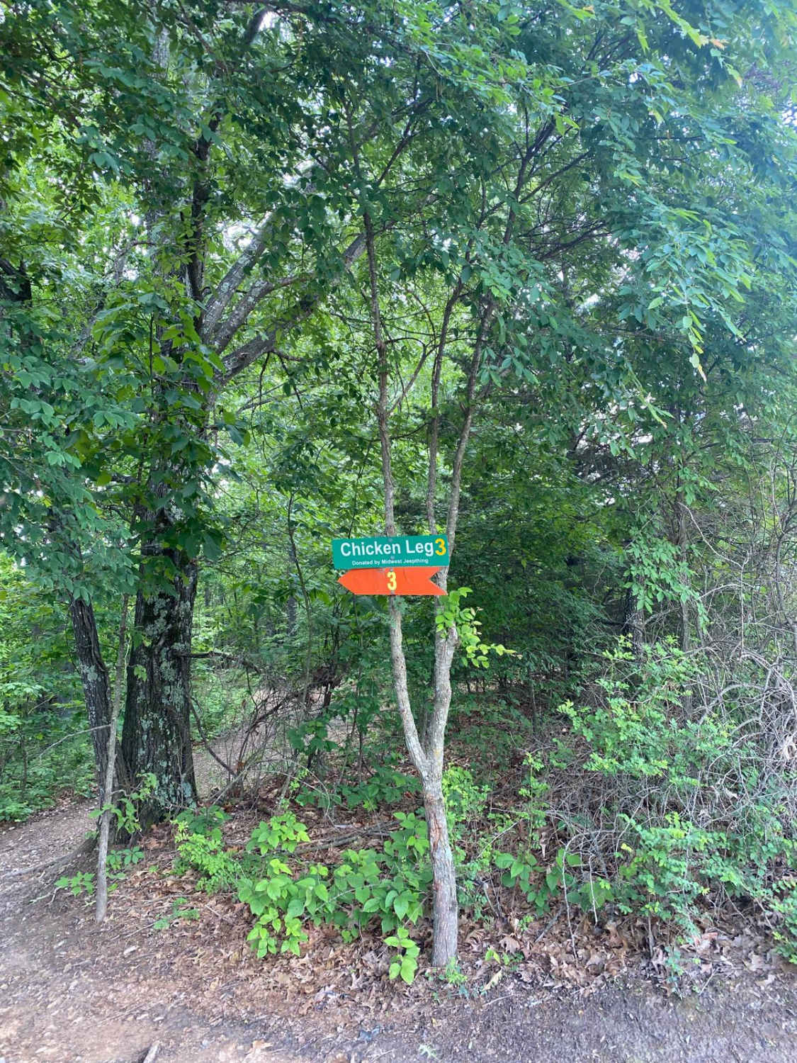
Chicken Leg
Total Miles
0.2
Technical Rating
Best Time
Fall, Summer, Spring
Trail Type
Full-Width Road
Accessible By
Trail Overview
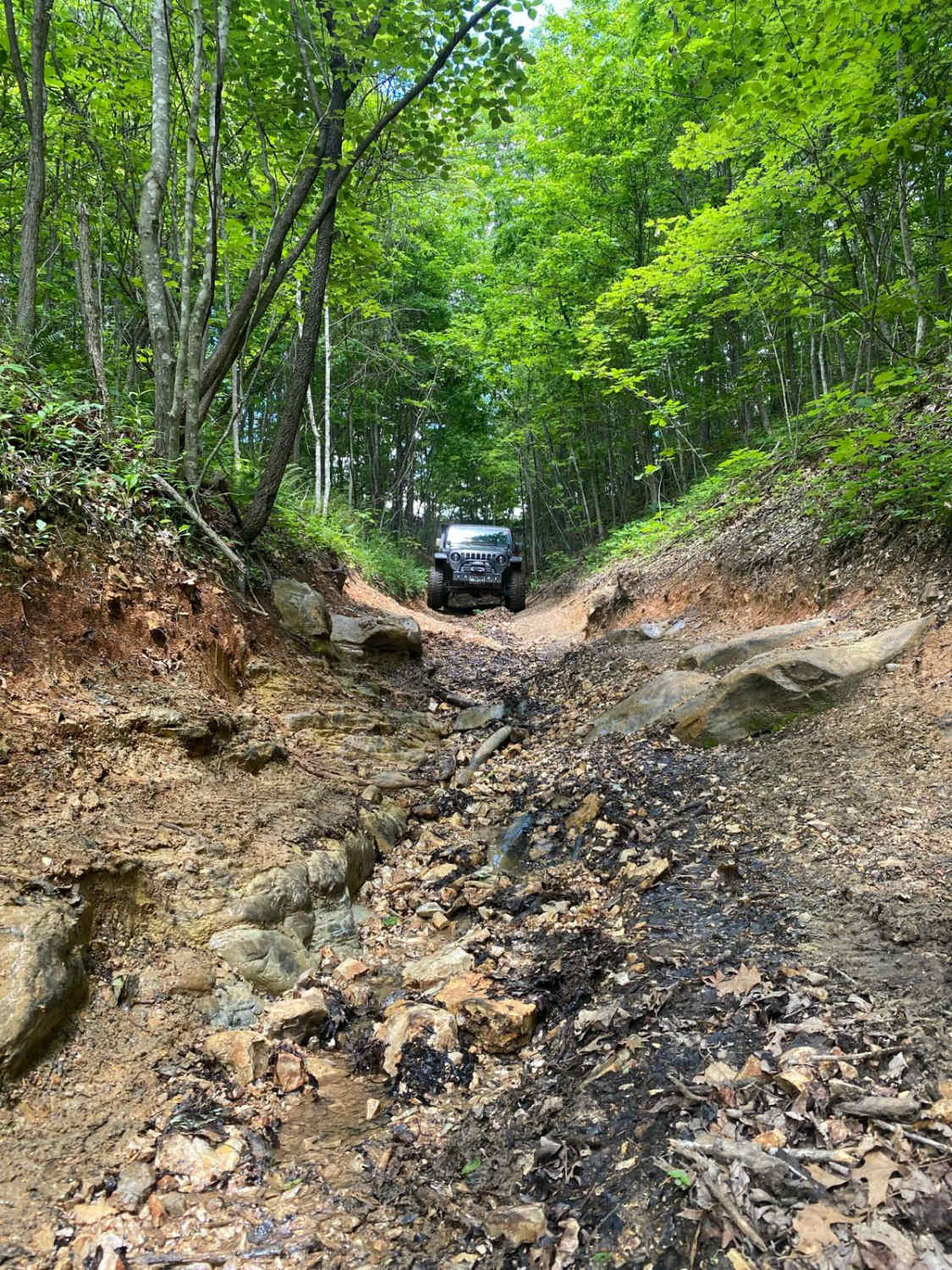
Chicken Leg is a short trail off of Ranch Road that leads to a trail called Lost Bridge and continues onto Frontage Road and Backwoods Road. The beginning of the trail is a slightly steep downhill that is rutted due to use and water erosion. This also means some sections will be slightly off-camber. There are a few smaller rock obstacles that can be overcome easily with good tire placement.
Photos of Chicken Leg
Difficulty
The trail can be done in stock 4WD vehicles. The rock obstacle is easily overcome with good tire placement. Due to water erosion, there will be areas that are rutted, causing off-camber. There will also be mud puddles along the way.
Chicken Leg can be accessed by the following ride types:
- High-Clearance 4x4
- SUV
- SxS (60")
Chicken Leg Map
Popular Trails

Pigeon Roost Road - WCR 603

Garbage Alley 122

West Falcon- FSR 1673

Green 125
The onX Offroad Difference
onX Offroad combines trail photos, descriptions, difficulty ratings, width restrictions, seasonality, and more in a user-friendly interface. Available on all devices, with offline access and full compatibility with CarPlay and Android Auto. Discover what you’re missing today!

