Off-Road Trails in Missouri
Discover off-road trails in Missouri
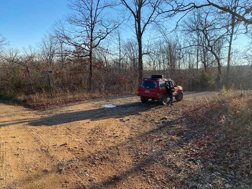
Learn more about SOUTH GOOSE (FS3116)
SOUTH GOOSE (FS3116)
Total Miles
0.8
Tech Rating
Easy
Best Time
Summer, Fall, Winter
Learn more about South Riverside
South Riverside
Total Miles
1.3
Tech Rating
Moderate
Best Time
Spring, Summer, Fall, Winter
Learn more about South Windy FSR 3304
South Windy FSR 3304
Total Miles
0.7
Tech Rating
Easy
Best Time
Spring, Summer, Fall, Winter
Learn more about Spool Ridge Trail
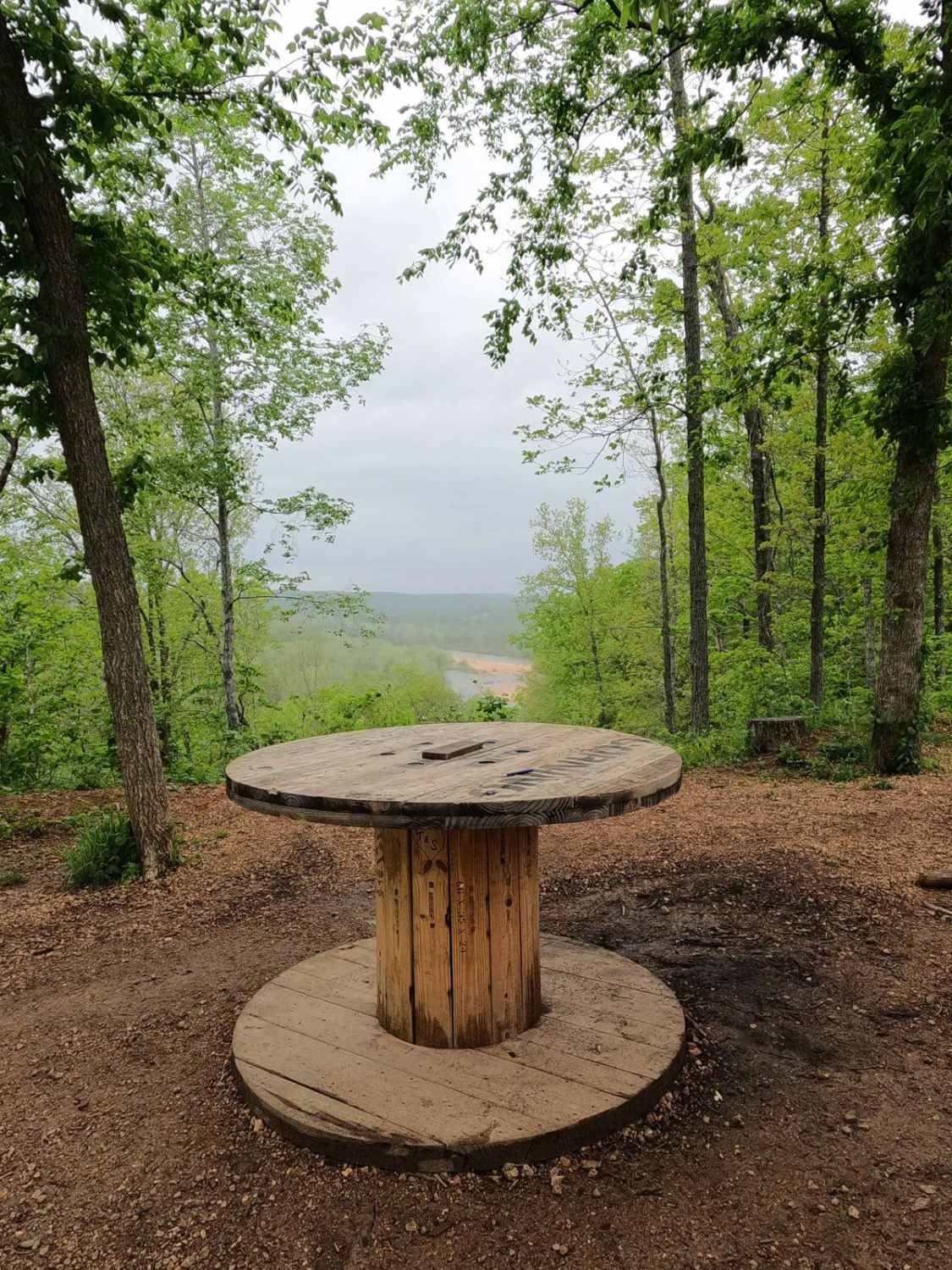
Spool Ridge Trail
Total Miles
1.9
Tech Rating
Moderate
Best Time
Spring, Summer, Fall, Winter
Learn more about Stacked Log Trail
Stacked Log Trail
Total Miles
1.6
Tech Rating
Easy
Best Time
Spring, Summer, Winter, Fall
Learn more about Stegall Tower - CCR 159

Stegall Tower - CCR 159
Total Miles
1.7
Tech Rating
Easy
Best Time
Spring, Summer, Fall, Winter
Learn more about Stirrup Split

Stirrup Split
Total Miles
0.1
Tech Rating
Easy
Best Time
Spring, Summer, Fall
Learn more about Stocker Stomper

Stocker Stomper
Total Miles
0.2
Tech Rating
Easy
Best Time
Spring, Summer, Fall
Learn more about Taum Sauk Mountain Road
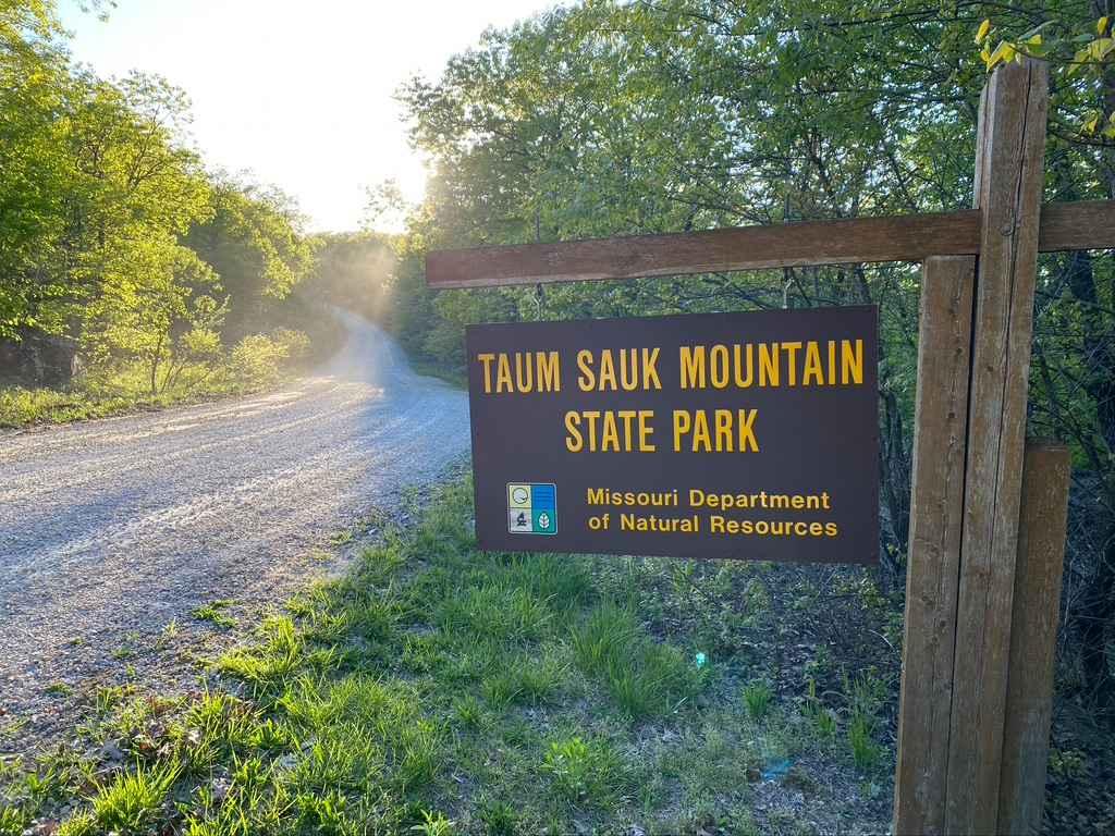
Taum Sauk Mountain Road
Total Miles
1.4
Tech Rating
Easy
Best Time
Spring, Fall, Winter, Summer
Learn more about Tennyson Hollow East - FS 507
Tennyson Hollow East - FS 507
Total Miles
3.9
Tech Rating
Moderate
Best Time
Spring, Summer, Fall, Winter
Learn more about Tennyson Hollow West - FS 507
Tennyson Hollow West - FS 507
Total Miles
3.0
Tech Rating
Moderate
Best Time
Spring, Summer, Fall, Winter
Learn more about Trashcan Hill
Trashcan Hill
Total Miles
1.8
Tech Rating
Moderate
Best Time
Spring, Fall
Learn more about Trigger
Trigger
Total Miles
0.3
Tech Rating
Moderate
Best Time
Spring, Summer, Fall
Learn more about Turkey Knob 3145
Turkey Knob 3145
Total Miles
23.9
Tech Rating
Easy
Best Time
Spring, Summer, Fall
Learn more about Turkey Trot
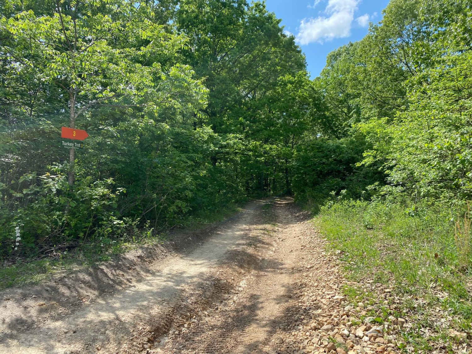
Turkey Trot
Total Miles
0.5
Tech Rating
Easy
Best Time
Spring, Summer, Fall
Learn more about Twelvemile Creek FSR 2130
Twelvemile Creek FSR 2130
Total Miles
0.8
Tech Rating
Easy
Best Time
Spring, Fall, Winter, Summer
Learn more about UNAMIT (FS3084)
UNAMIT (FS3084)
Total Miles
0.8
Tech Rating
Easy
Best Time
Summer, Fall, Winter
Learn more about VICTORY SCHOOL (FS 3117)
VICTORY SCHOOL (FS 3117)
Total Miles
1.6
Tech Rating
Easy
Best Time
Spring, Summer, Fall, Winter
Learn more about Wash Creek FSR 2177
Wash Creek FSR 2177
Total Miles
1.4
Tech Rating
Easy
Best Time
Spring, Summer, Fall, Winter
The onX Offroad Difference
onX Offroad combines trail photos, descriptions, difficulty ratings, width restrictions, seasonality, and more in a user-friendly interface. Available on all devices, with offline access and full compatibility with CarPlay and Android Auto. Discover what you’re missing today!