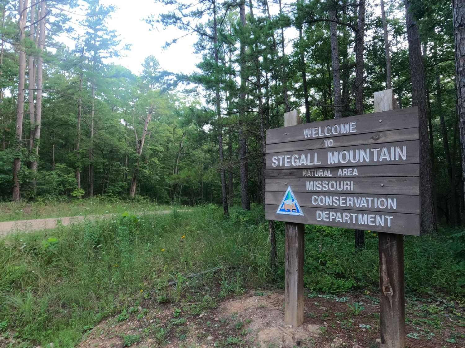
Stegall Tower - CCR 159
Total Miles
1.7
Technical Rating
Best Time
Spring, Summer, Fall, Winter
Trail Type
Full-Width Road
Accessible By
Trail Overview
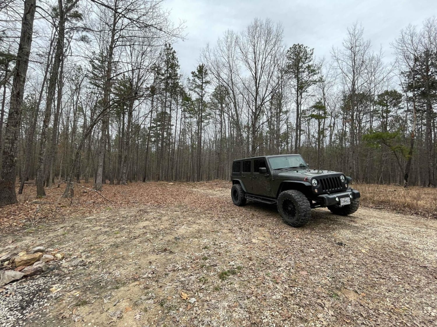
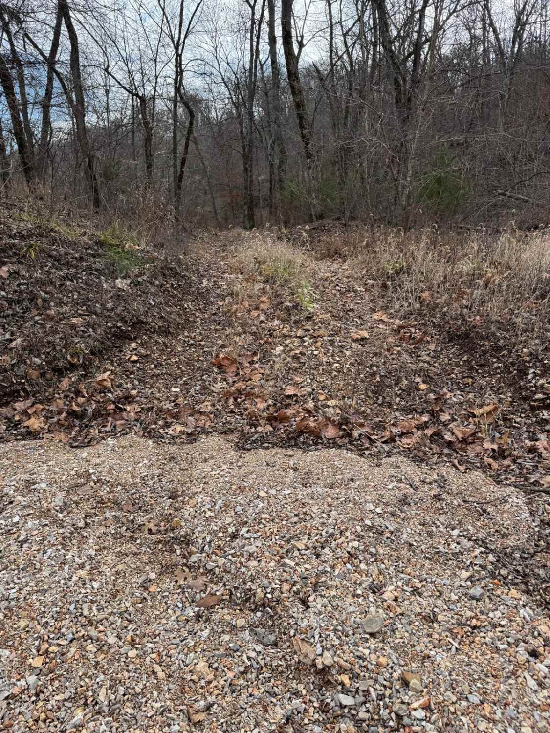
Stegall Tower, Carter County Road 159, or simply Stegall Mountain Road, is a simple gravel-based road to the Missouri Department of Conservation Fire Tower and land on Stegall Mountain. The road is simple and graceful, with generally well-maintained gravel, a single water splash crossing, and mild erosion, climbing up 423 feet from the lowest point of 920 feet elevation to the highest point at 1343 feet. The sights surrounding the road feature the rolling hills of the Ozark landscape, with the low valleys holding the Jacks Fork River and Current River to the north and the Peck Ranch Conservation Area to the south. . Still, with a short 0.2-mile hike, the tower can be witnessed and accessed to see a birds eye view of the majestic surrounding hills of Eminence, Two Rivers, Winona, Van Buren, and the Ozark National Scenic Riverways region. Please respect the tower, be careful if climbing it, and preserve its future use by practicing leave-no-trace standards. Be alert for horse riders, and pass them slowly with care; the Peck Ranch, CA, has several horse trails.
Photos of Stegall Tower - CCR 159

Difficulty
Stegall Tower is a simple 1/10 base-rated gravel road, showing only mild forms of erosion in spots, having a mild grade going up the hill, one small water splash, with the potential of small natural 6" cobbles on the edges of the road and natural rock sticking out at the surface in the road surface. Expect the normal gravel road complications of potholes, mounding, and washboards. Difficulty could increase to a 2/10 if the water in the splash were to increase due to heavy rain or extremely wet seasons, but it would be a rare scenario.
History
The Stegall Tower was constructed in 1961 as a 60-foot steel tower, and according to the Missouri Department of Conservation used to have a tower house, but that has since been removed. As of 7/2024 the boards on the tower have been recently replaced and the tower's overall condition is superb, and with the modern radio repeaters attached to the tower, Stegall should have an extended life ahead.
Status Reports
Stegall Tower - CCR 159 can be accessed by the following ride types:
- High-Clearance 4x4
- SUV
Stegall Tower - CCR 159 Map
Popular Trails
SOUTH GOOSE (FS3116)

Coffee Hills Trail #4

Yellow 118
The onX Offroad Difference
onX Offroad combines trail photos, descriptions, difficulty ratings, width restrictions, seasonality, and more in a user-friendly interface. Available on all devices, with offline access and full compatibility with CarPlay and Android Auto. Discover what you’re missing today!