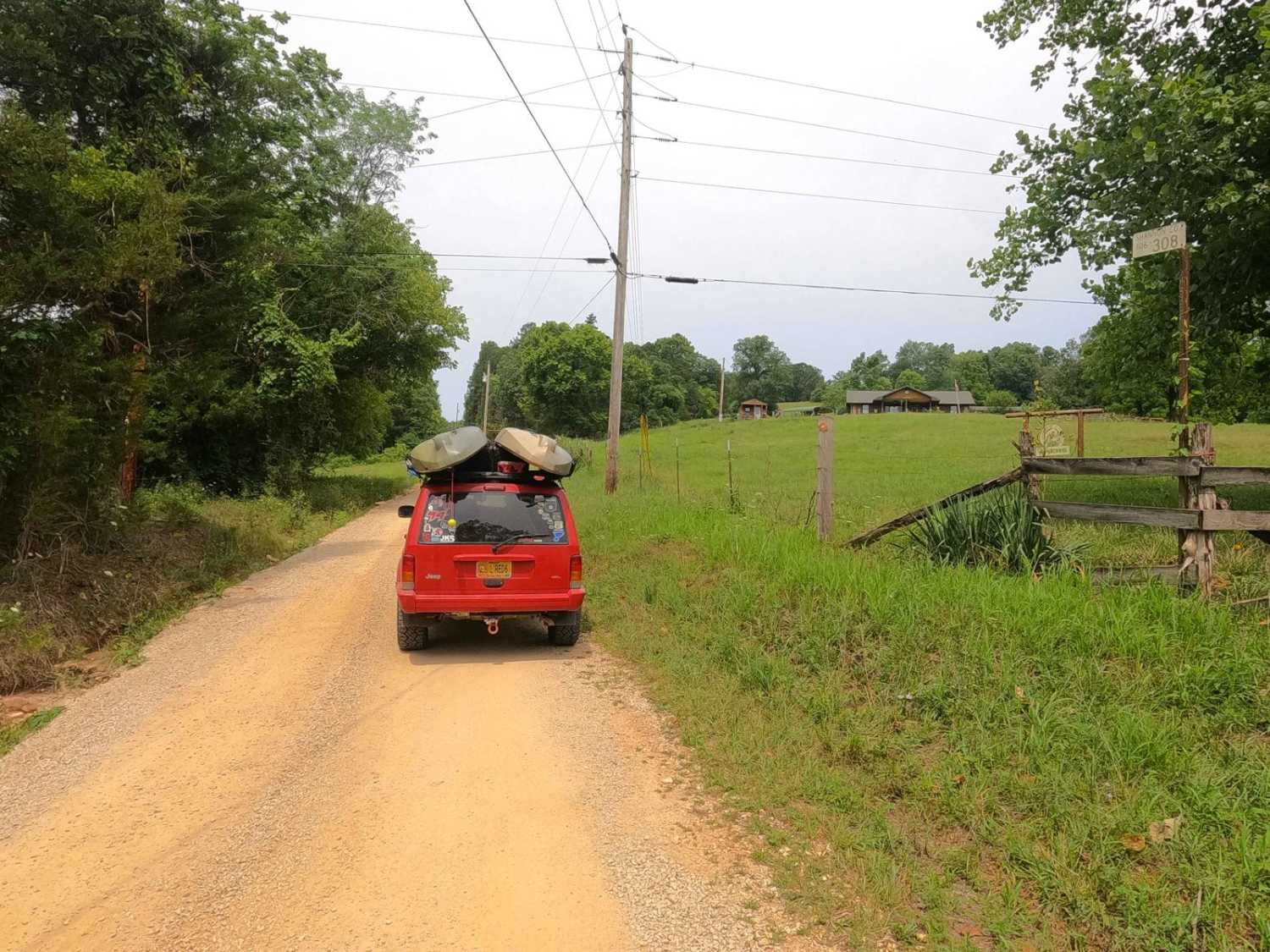
Akers Alley - SCR 308
Total Miles
4.2
Elevation
264.55 ft
Duration
0.5 Hours
Technical Rating
Best Time
Spring, Summer, Fall, Winter
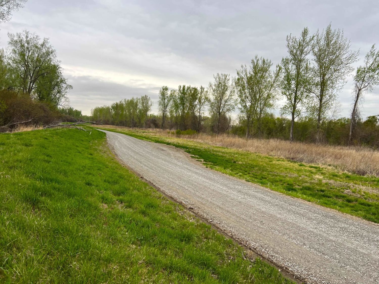
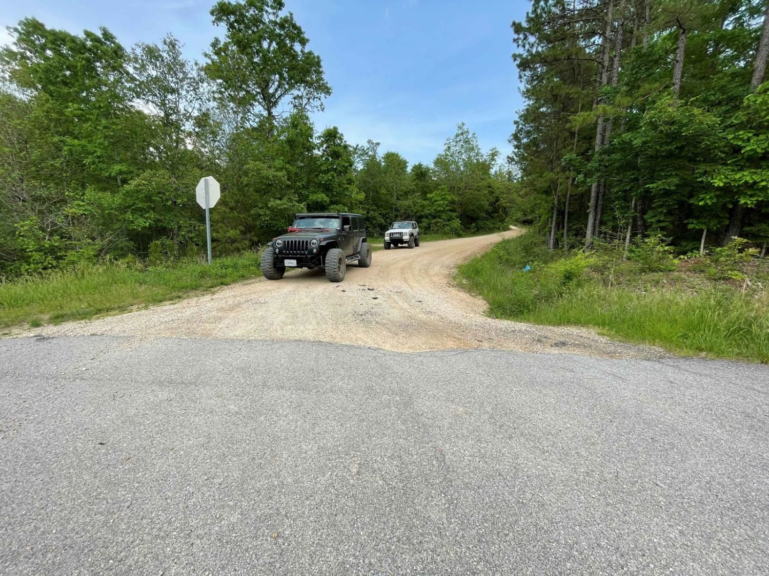
Trail Overview
Akers Alley, or Eminence to Alley Springs Trail, West River Road, or Shannon County Road 308, is a coarse gravel road transforming into a natural riverside trail, within the Ozark National Scenic Riverway, and Shannon County land. The trail features the dynamic range the area is known for, the hills high being traversed by County Roads with low standards of the term road, to eventually be on the Jacks Fork water's edge, being always subject to change at the water's command and shear force. The trail on the far east end, staring at Akers Farm, features a semi-maintained gravel road, before dropping down into the hollows where the creek crossings, natural rock, and mud sections, come into frame over the midsection, then being riverside running along the waters edge and bluffs, before rapidly shifting back to a maintained gravel road on the far west end, where the trail finishes on a single width wooden bridge ending in the Alley Spring Mill parking lot. Alley Spring Mill is a great point of interest to witness a 1902 Mill being placed right at the edge of the spring pool, pumping 81 million gallons per day. Just to the south across Jacks Fork from the Mill parking lot, is Alley Springs Campsite, a popular spot to put-in/take-out for a float in the area, to float east to Eminence or further to Two Rivers. Be alert for horse riders, pass them slowly with care, and check the forecast and water levels to prevent encountering flood or high water scenarios on the trail.
Photos of Akers Alley - SCR 308

Difficulty
Akers Alley is given a base rating of 4/10 for the water crossings being right at the 12"+ depth, both along the river and in the hollows of the eastern portion, with other trail features including natural rock ramps, mudholes, mild erosion and rutting, mild grades up and down hills, surface mud, potential sand washes, coarse loose natural river gravel, large rock cobbles (6 to 10"), and small boulders (10 to 12"). Note that difficulty can decrease in very dry seasons when water levels drop, but can also significantly increase due to any upstream rain, which will directly influence the depth of the crossings, especially in heavy rain and storms. Check the forecast, and approach the crossing with caution if it has rained within a week.
History
"Alley was home, farm, and school for people who lived here a century ago. Dances, baseball games, and roller skating were all part of Alley's busier days. John Knotts purchased the 80-acre site in 1902 and diversified the enterprises to include a well-stocked store and blacksmith shop. A mill was vital to community life, where grain was ground to provide the daily bread. The present building was constructed during 1893-1894 by George Washington McCaskill as a merchant mill. It was larger than most mills in the Jacks Fork area and replaced an earlier mill on this same site that was built by 1868. Originally unpainted, it was first painted white with green trim, then later the famous red color associated with Alley Mill today." Sourced from https://www.nps.gov/ozar/learn/historyculture/alley-mill.htm
Status Reports
Popular Trails
Lone Star School Road (FS 3824)
Roadkill Cafe - FS 504

Flat Woods Road
The onX Offroad Difference
onX Offroad combines trail photos, descriptions, difficulty ratings, width restrictions, seasonality, and more in a user-friendly interface. Available on all devices, with offline access and full compatibility with CarPlay and Android Auto. Discover what you’re missing today!