Flat Woods Road
Total Miles
3.2
Technical Rating
Best Time
Spring, Summer, Winter, Fall
Trail Type
Full-Width Road
Accessible By
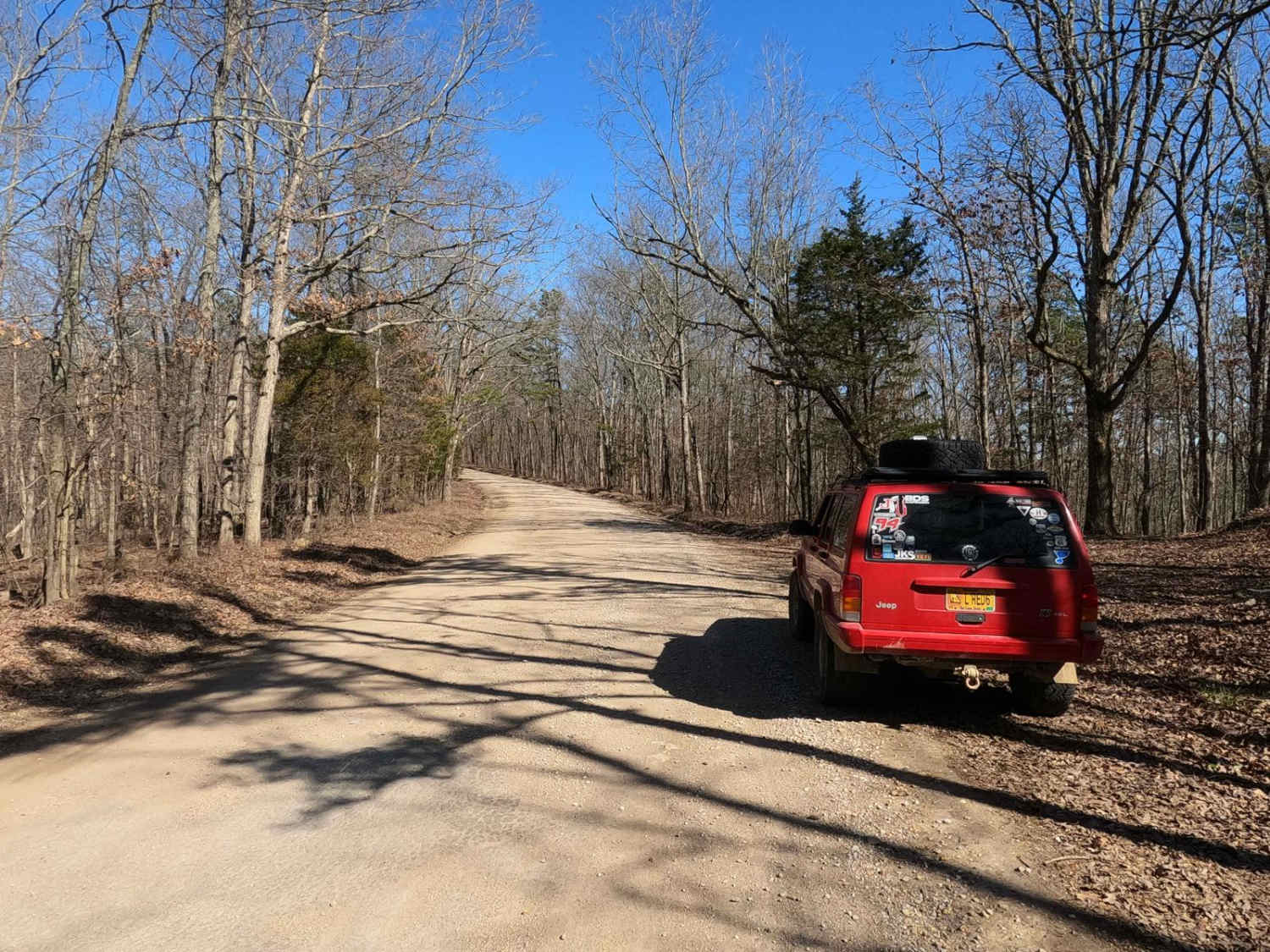
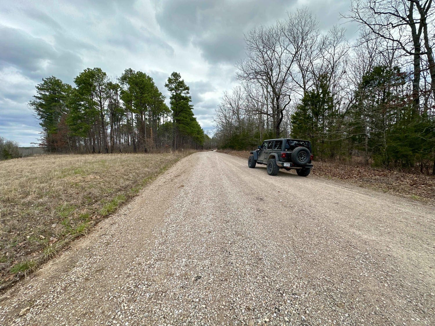
Trail Overview
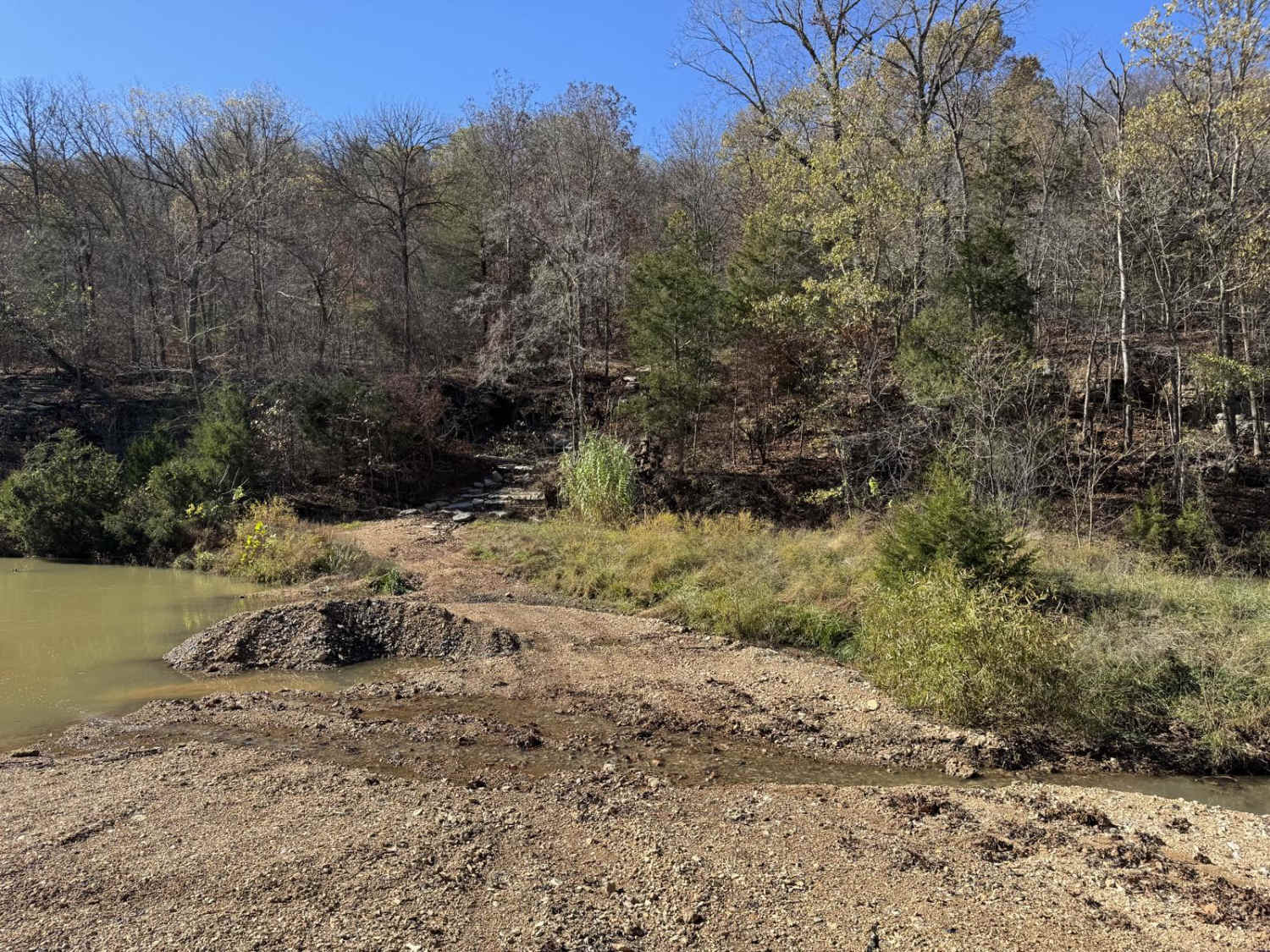
Flat Woods Road, or Iron County Road 109, is in what locals refer to as the Turkey Foot area. It is a gravel county road that traverses mostly private and partially Mark Twain National Forest land through its track. The road is very scenic, showing off beautiful short-leaf pines growing along the edge of the hilly section of the road before opening up to the flat valley, where the cattle industry is on full display--a little taste of a Missouri Yellowstone. At 37.53389, -90.55571, an old red schoolhouse can be seen on the edge of the road. Enjoy this from the roadway; it is gated and on private land. It's great to know about when traveling between Rock Creek Road and Beaver Slide Road and seeking the most non-paved roads possible.
Photos of Flat Woods Road

Difficulty
Flat Woods Road/Iron County Road 109 is a simple gravel road. Generally well maintained, it is given a base rating of 1/10, consisting of very mild grades up and down the rolling hills of the area. Expect washboards, potholes, mounding of the gravel, and potential mild signs of erosion on the hills. The road could experience difficulty increases in times of heavy use, wet conditions, and inclement weather.
History
Nearby history: "Silver Mines Recreation Area is named for the abandoned "Einstein Mine", which was mined for Silver, Tungsten, and Lead. The Einstein Silver Mining Company began mining in 1877, and mining ceased completely in 1946." Sourced from the Forest Service, https://www.fs.usda.gov/recarea/mtnf/recreation/camping-cabins/recarea/?recid=21840&actid=29.

Popular Trails

West Falcon- FSR 1673
County Road 6590 & 6410

Ridgeline Road
The onX Offroad Difference
onX Offroad combines trail photos, descriptions, difficulty ratings, width restrictions, seasonality, and more in a user-friendly interface. Available on all devices, with offline access and full compatibility with CarPlay and Android Auto. Discover what you’re missing today!