Ridge Connector
Total Miles
2.8
Elevation
937.09 ft
Duration
0.5 Hours
Technical Rating
Best Time
Winter
Trail Overview
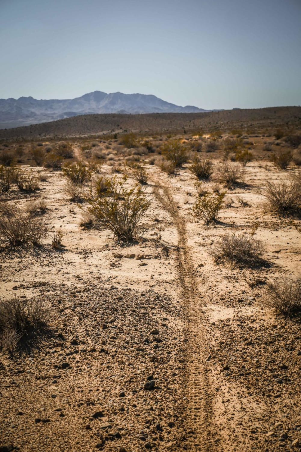
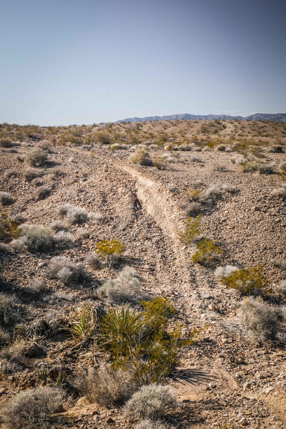
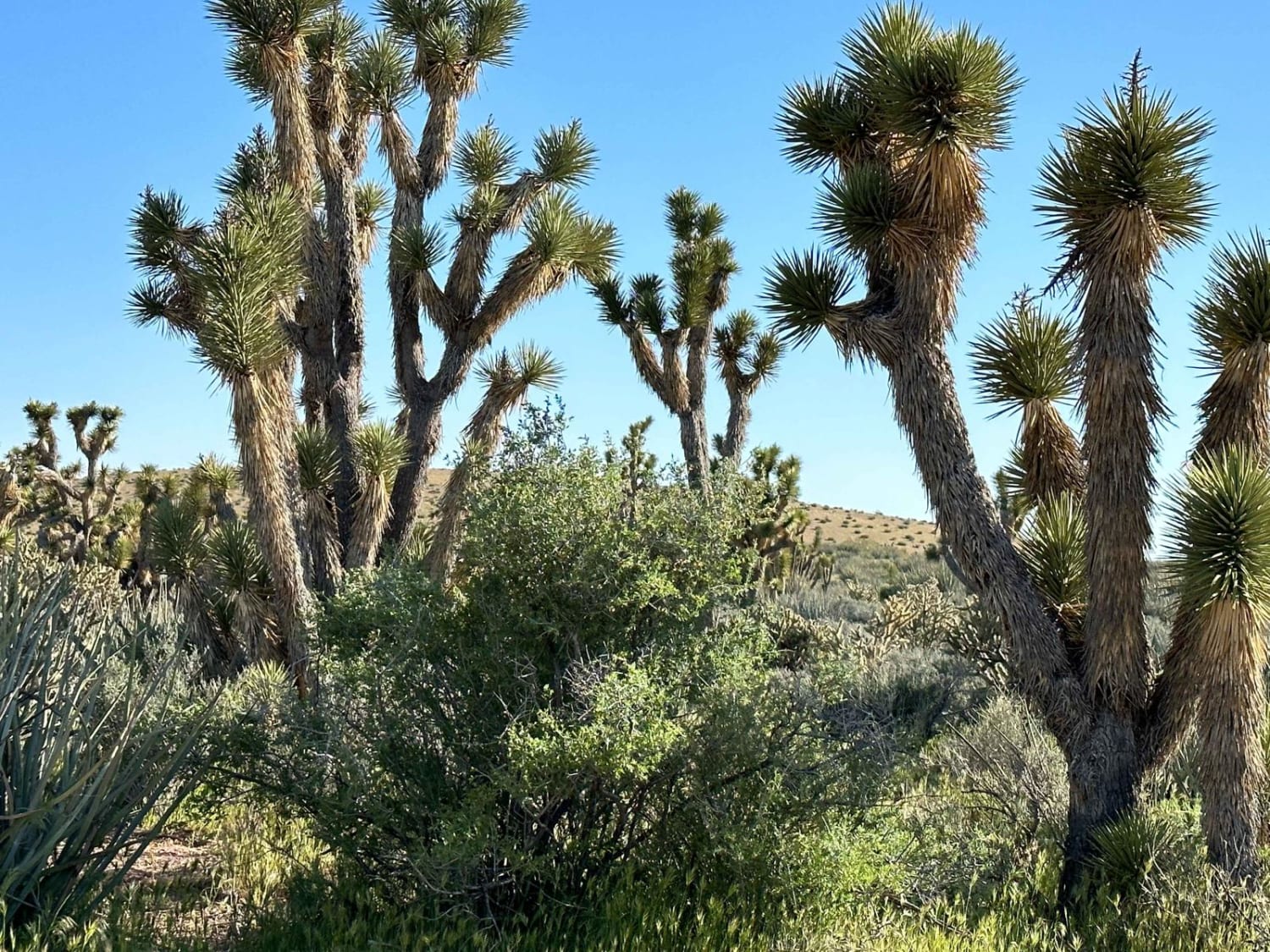
This is a short connector trail used to connect the Ridge Trail to the Pants Loop. Although only 3 miles long, it runs through a variety of terrain, including a mix of soft dirt, sandier dirt, and hard-packed dirt with loose rock. It dips in and out of rocky ravines and washes and also runs elevated above a wash. The trail is easy because it's mostly fast and flowy, smooth, and with no significant obstacles. The northeast end of the trail is marked with a cairn at the intersection with the Pants Connector Trail
Photos of Ridge Connector
Difficulty
This is a consistently easy trail with no notable obstacles.
History
A portion of the Old Spanish Trail runs through this area, a historic transportation route from the 1800s.
Status Reports
Popular Trails
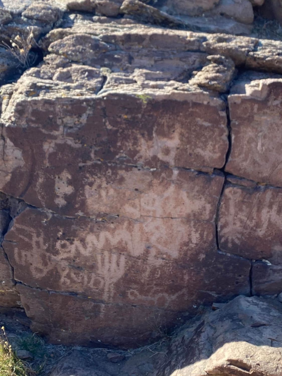
Spanish Springs Petroglyphs
13-Mile Loop
NV-UT State Line Road 020
Go Farther
Try onX Offroad Elite for free for a week — no strings attached. Get access to thousands of off-road dirt trails and snowmobile trails across the nation. View your favorite zones in 3D. Send trails to friends. Start planning the trip of a lifetime now.
