Spanish Springs Petroglyphs
Total Miles
4.1
Technical Rating
Best Time
Fall, Summer, Spring
Trail Type
Full-Width Road
Accessible By
Trail Overview
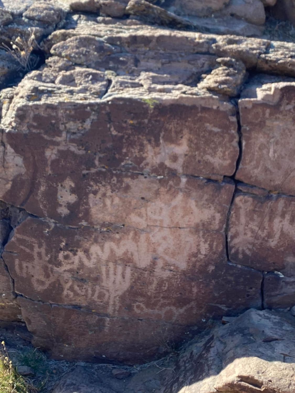
Griffith Canyon is an approximately 2 mile out-and-back hike north of Reno that leads to several galleries of petroglyphs. While several trails in the area lead to petroglyphs, the Griffith Canyon trail is the easiest route to see the displays of native art. The trail is unmarked but is known and moderately trafficked, so reaching the petroglyphs should be no issue for those with moderate hiking abilities. Parking is along a pullout on a hairpin curve on Pyrenees Drive in Spanish Springs. A faint footpath is visible directly across the road, descending into the canyon wash. The path is rough and sometimes features jagged rock at the creek bottom, which is dry most of the year. The first petroglyph galleries can be seen about a third of a mile down the canyon, with several examples lining the canyon on flat rock surfaces. The best petroglyphs are reached about 0.75 miles down the canyon, where drawings cover most of the surface of a 12-foot stone slab. Beyond these walls, the canyon opens up, and while it can be walked farther, there are little features of note as the creekbed continues toward the rural edge of the Spanish Springs developments. There are no amenities or signs of any kind. Hikers should be prepared for a primitive hiking route down a mostly shadeless path
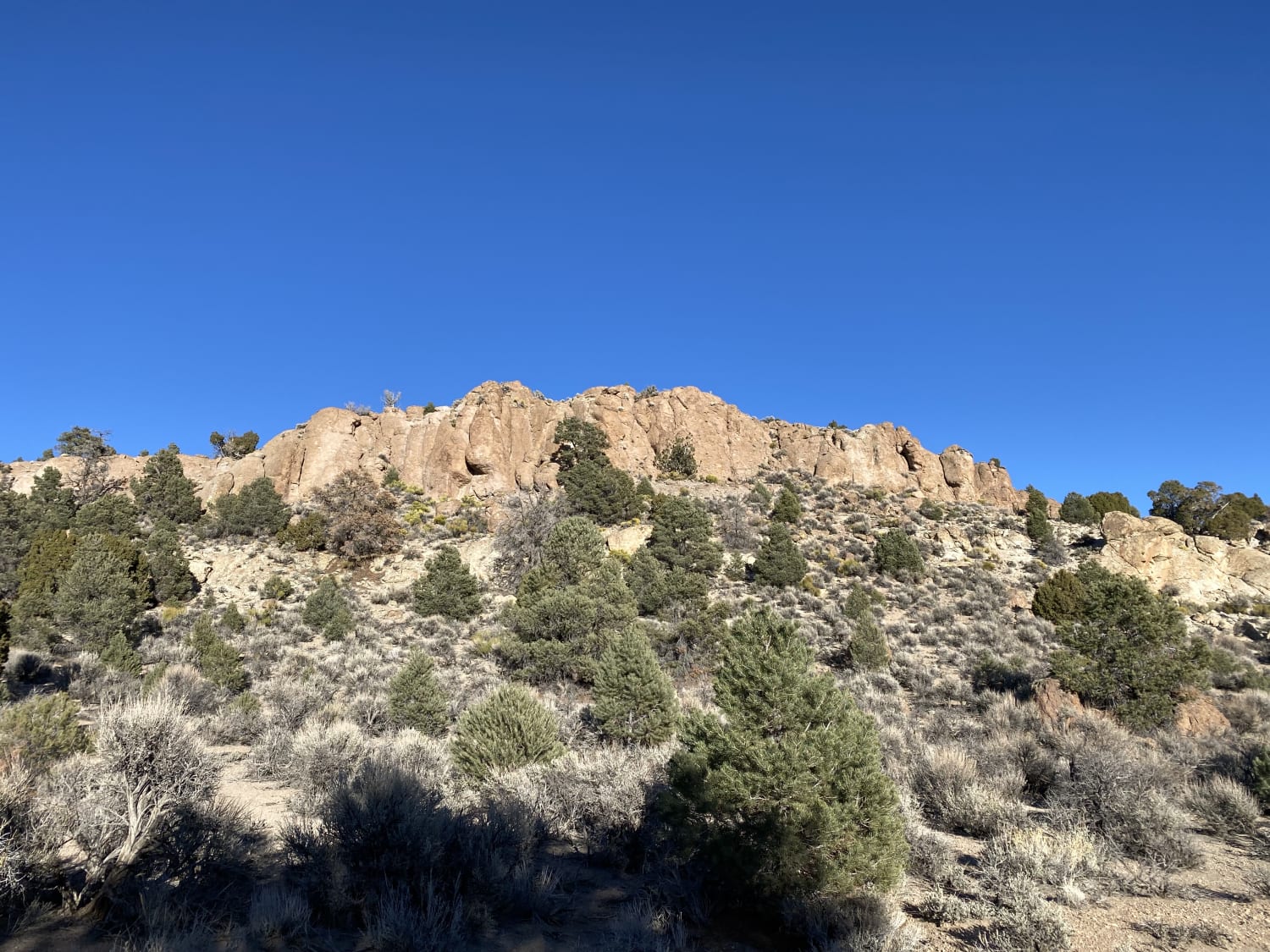
Photos of Spanish Springs Petroglyphs
Difficulty
The road is well-groomed and graded. To see the petroglyphs you well have to hike 200 yards down a wash.
Status Reports
Spanish Springs Petroglyphs can be accessed by the following ride types:
- High-Clearance 4x4
- SUV
- SxS (60")
- ATV (50")
- Dirt Bike
Spanish Springs Petroglyphs Map
Popular Trails
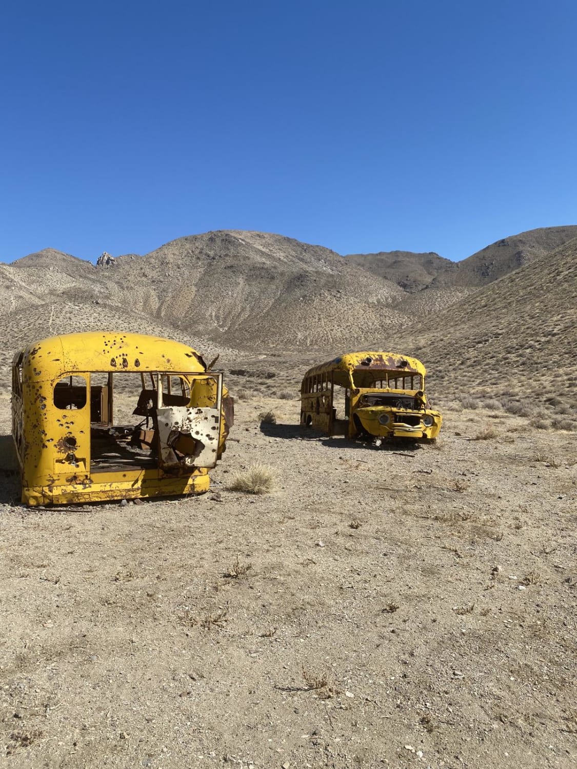
Winnemucca Lake School Buses
Adventure Through the Hills to West Valley
The onX Offroad Difference
onX Offroad combines trail photos, descriptions, difficulty ratings, width restrictions, seasonality, and more in a user-friendly interface. Available on all devices, with offline access and full compatibility with CarPlay and Android Auto. Discover what you’re missing today!
