Mid Coast Ridge
Total Miles
6.1
Technical Rating
Best Time
Spring, Summer, Fall, Winter
Trail Type
Full-Width Road
Accessible By
Trail Overview
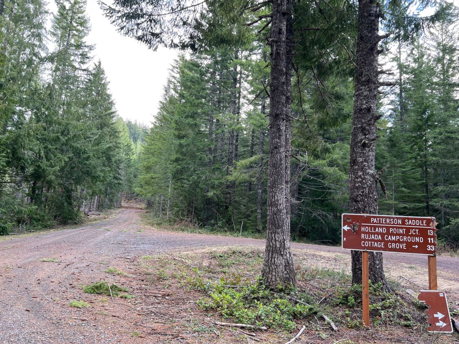
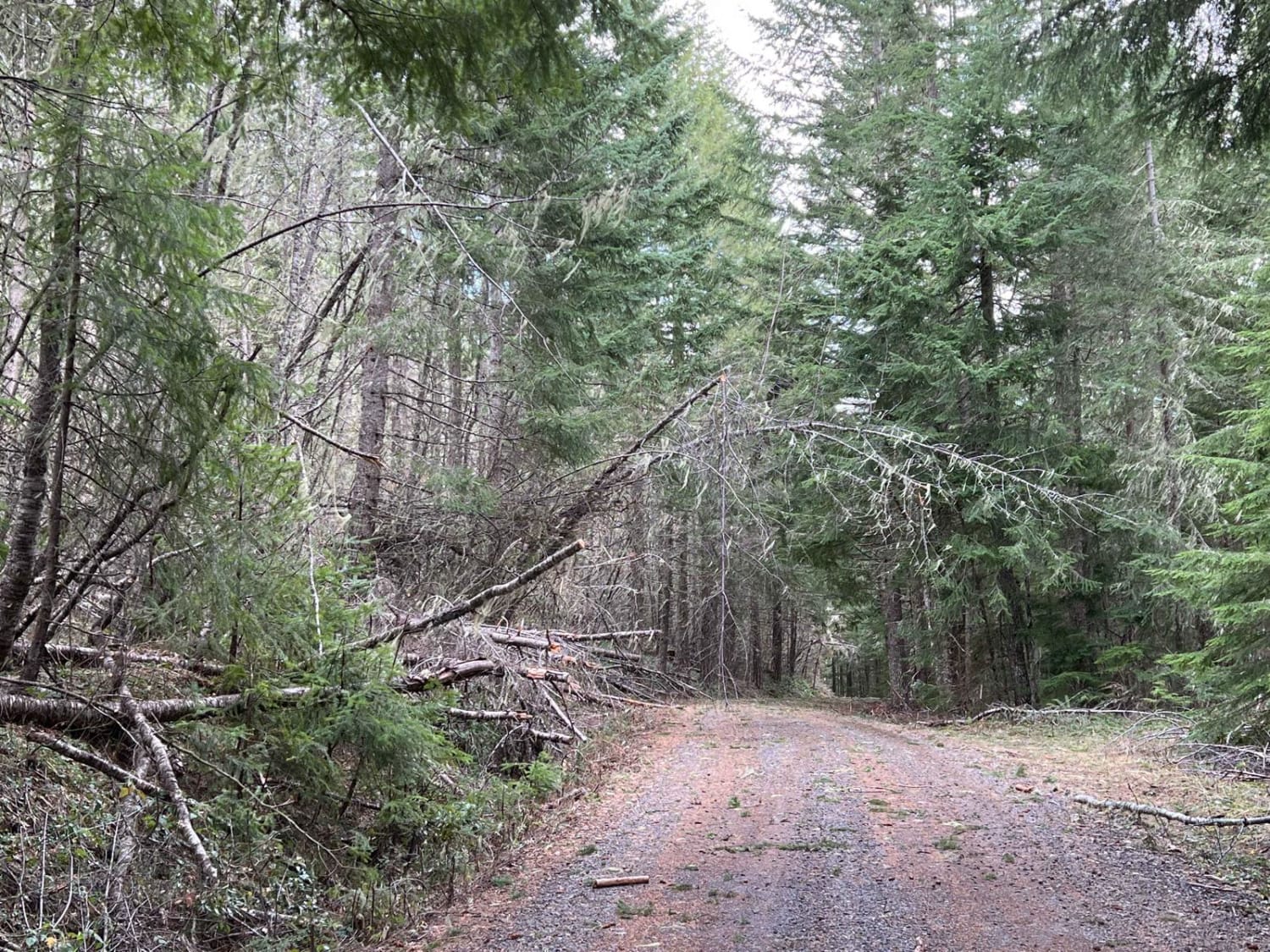
This trail segment began at the intersection of Patterson Mountain, "Surprise" and Layng Creek-Patterson, which straddles the divide between Umpqua National Forest and Willamette National Forest. The trail winds over Patterson Saddle and alongside Patterson Mountain, and if you elect to take a spur you can get to the Lone Wolf/Patterson Mountain Trailhead. The beginning intersection also offers routes to Cottage Grove and Rujada Campground. Most of the elevation has already been gained by the time this trail is reached, leaving fairly gentle climbs and descents throughout. The majority of the trail is fairly flat gravel through dense forest, with a few openings for great views. Given the forest density, after storms, there is significant debris on the trail, and caution should be used. This includes small to large branches and overhanging/bent limbs and trunks, all the way to very large downed trees. During the run it was necessary to clear five trees in order to get through, so plan for extra time and clearing equipment if tackled near storms. In winter, snow can be found at the highest elevations, so snow tires and 4WD are recommended. Several decent-sized pullouts with fire rings are present along the length of the trail. Some areas were muddy with some water-filled potholes, but nothing too significant. Much of the trail offered ample room for two vehicles to pass, but not always. Minor water was found along the trail, none of which crossed the road or particularly offered falls to view. The intersection at the end of the trail offers routes to Deception Rock, Upper Layng Creek, and Pinard Butte.
Photos of Mid Coast Ridge
Difficulty
If attempted near storms or in winter, this should be upgraded to a 2 due to downed tree clearing and traction concerns.
Status Reports
Popular Trails

Cache Mountain - NF 2067900

Quentin Creek
The Bohemian Champion
Black Creek - FR 2421
The onX Offroad Difference
onX Offroad combines trail photos, descriptions, difficulty ratings, width restrictions, seasonality, and more in a user-friendly interface. Available on all devices, with offline access and full compatibility with CarPlay and Android Auto. Discover what you’re missing today!
