Northside E Mountain
Total Miles
2.7
Elevation
1,749.12 ft
Duration
--
Technical Rating
Best Time
Fall, Spring
Trail Overview
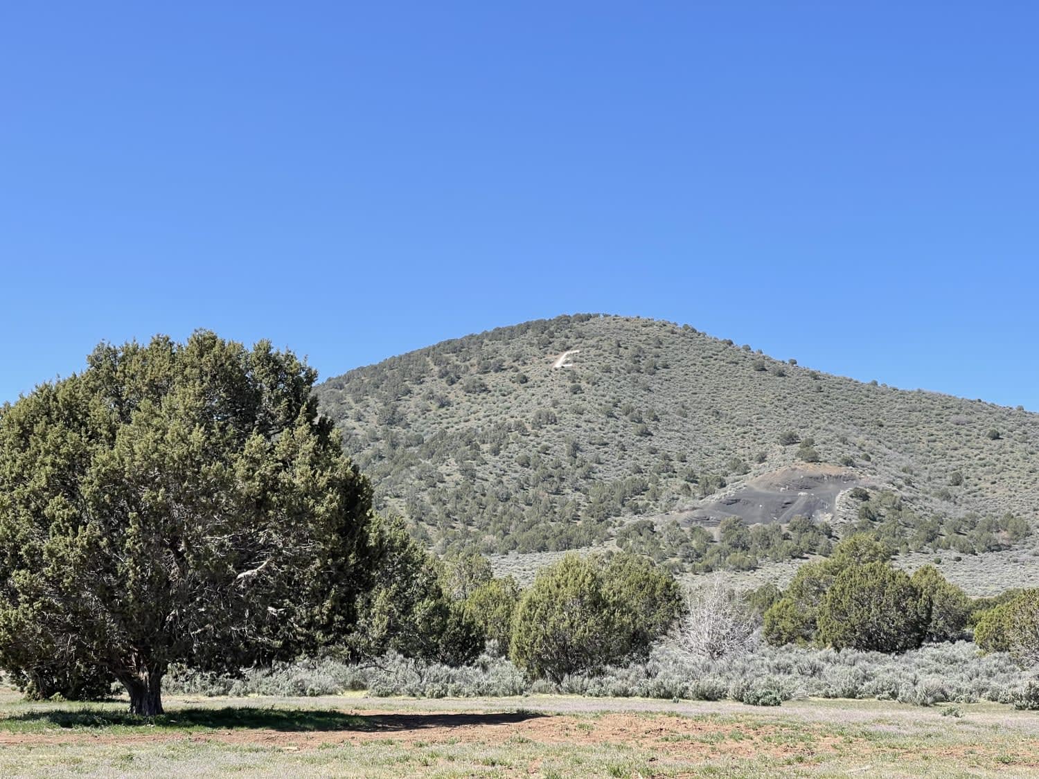
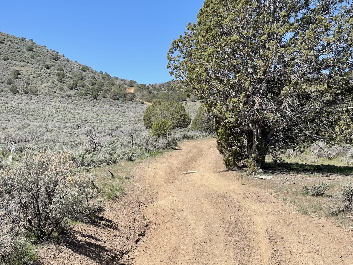
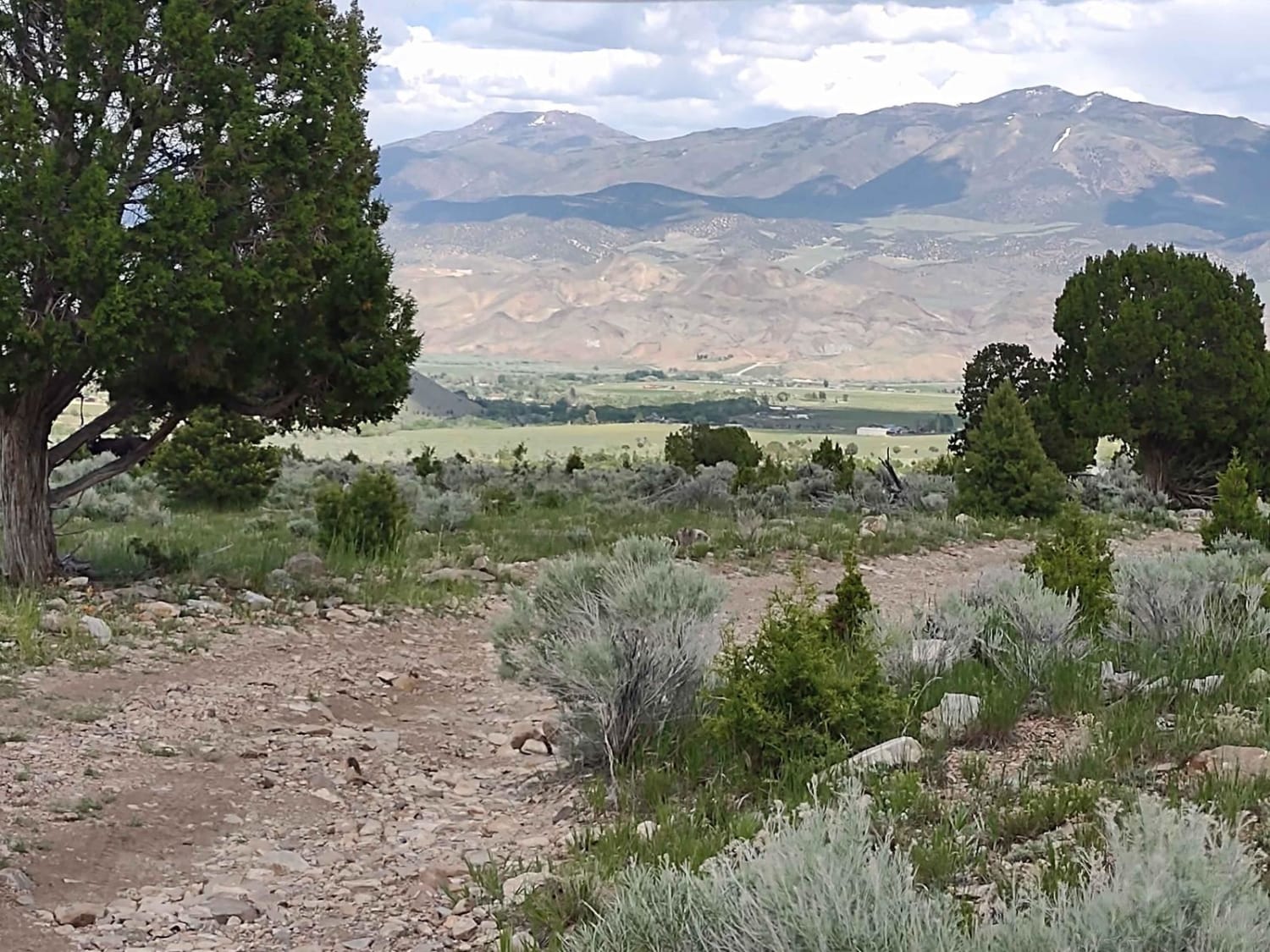
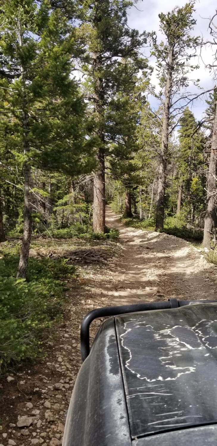
This fun trail starts at the edge of town near a few farms and then heads across the north side of E mountain. There are a few dispersed camping spots. Just be sure the one you pick isn't on private property. However, there seem to be open spots with fire rings on the private property and no signage against it. The trail starts a bit bumpy with some heavily rutted-out sections. It seems this section is traveled when wet, and the rutting on the first 1/3 of the trail provides evidence of that. Further along, once past the grove of Juniper trees and if you are lucky, fields of wildflowers, some off-camber spots then lead to a loose hill climb. At the top, there are killer views to the east and west. Don't forget to keep the livestock gate closed at the top. Some signs note it should remain closed. From there is a leisurely cruise down the mountain's west side to link up with the trails below. Two bars of LTE cellular service fade to one. Impassable when wet.
Photos of Northside E Mountain
Difficulty
Some deep ruts, one loose hill climb, could be a mud bog when wet and impassable.
Status Reports
Popular Trails
Flat Iron Mesa
Kokopelli Trail (Castle Valley Overlook to Sand Flats Road)
Cottonwood-Bullion Interconnect Trail to Hwy 89
Powell Point Trail
The onX Offroad Difference
onX Offroad combines trail photos, descriptions, difficulty ratings, width restrictions, seasonality, and more in a user-friendly interface. Available on all devices, with offline access and full compatibility with CarPlay and Android Auto. Discover what you’re missing today!
