Lewis Canyon
Total Miles
5.3
Technical Rating
Best Time
Spring, Summer, Fall, Winter
Trail Type
Full-Width Road
Accessible By
Trail Overview
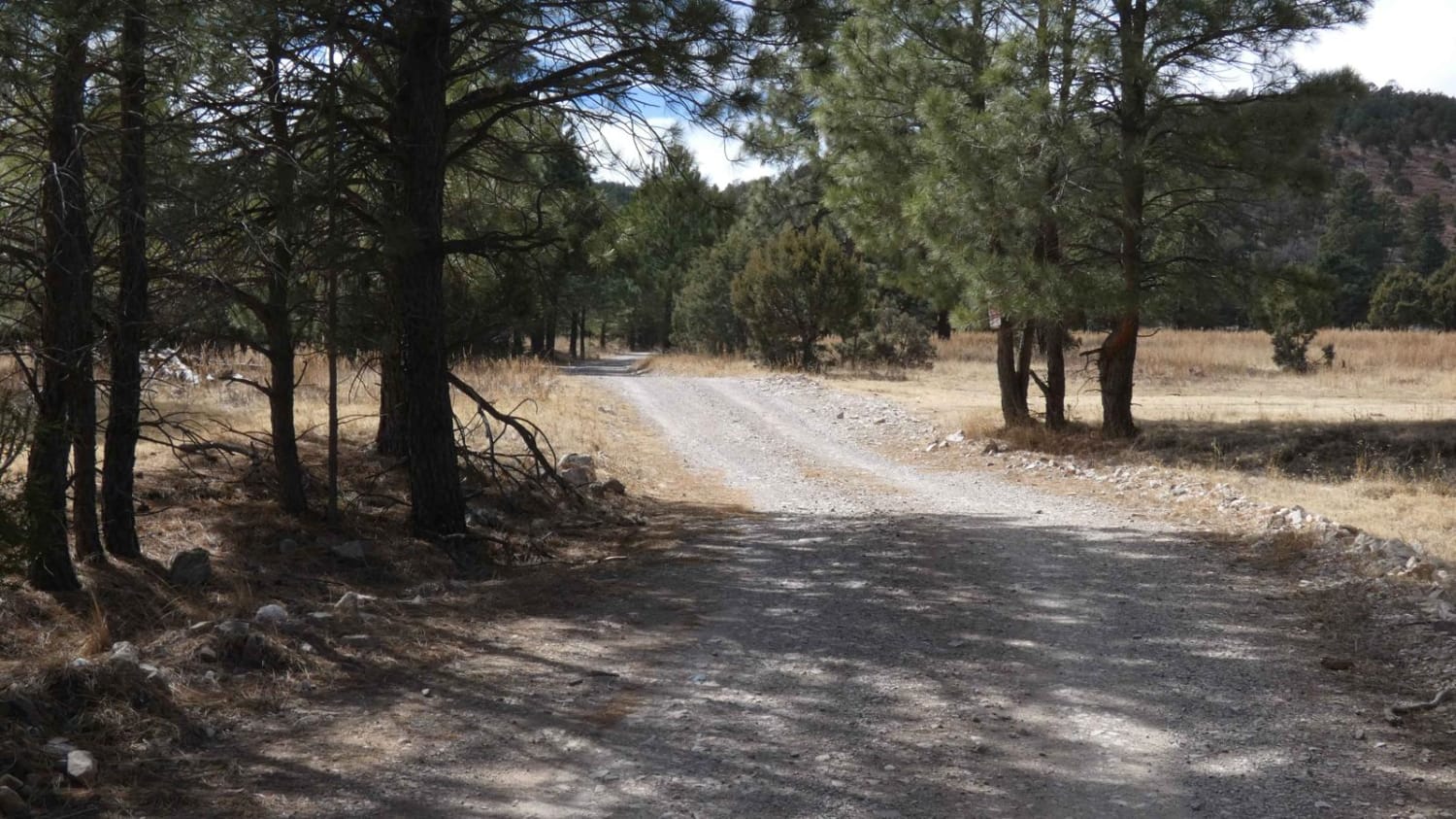
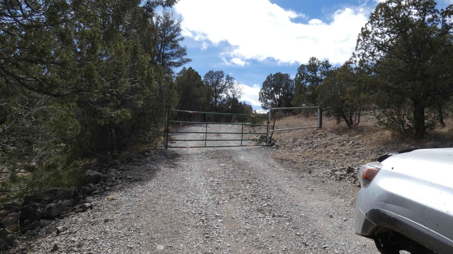
Lewis Canyon is located just south of the town of Weed, NM, in a very quiet and wildlife-abundant area. The entrance to the trail is on private land and does have a gate just after the entrance that is to remain closed due to livestock. Starting on a primary gravel and rock road, the trail gradually turns to dirt and has some rutting and slippery mud along the way. There are multiple low washes with the potential for water crossings up to 12 inches in depth, small rock gardens, and downed trees. There are a couple of designated spurs for motorized use along the route, and a couple of hiking and SxS trails towards the beginning of the trail. Another gate roughly halfway through the trail leads to a more heavily wooded area where mud and rutting become more present on the dirt surface. There are multiple dispersed campsites along the trail. The trail ends without notice at a clearing that also features another campsite. There is another two-track spur that continues, however, it appears to have no signs of use for some time and is partially blocked by a downed tree and a pile of dirt and rocks. There is no cell service on this trail, cattle are present in the area as well as other wildlife. The trail is easy to navigate and will be easily completed by most 4x4 vehicles.
Photos of Lewis Canyon
Difficulty
You'll come across rutted muddy areas, small rock gardens, and the potential for downed trees.
Status Reports
Popular Trails
Borrego Mesa Trail

Bloomfield Pal Tour
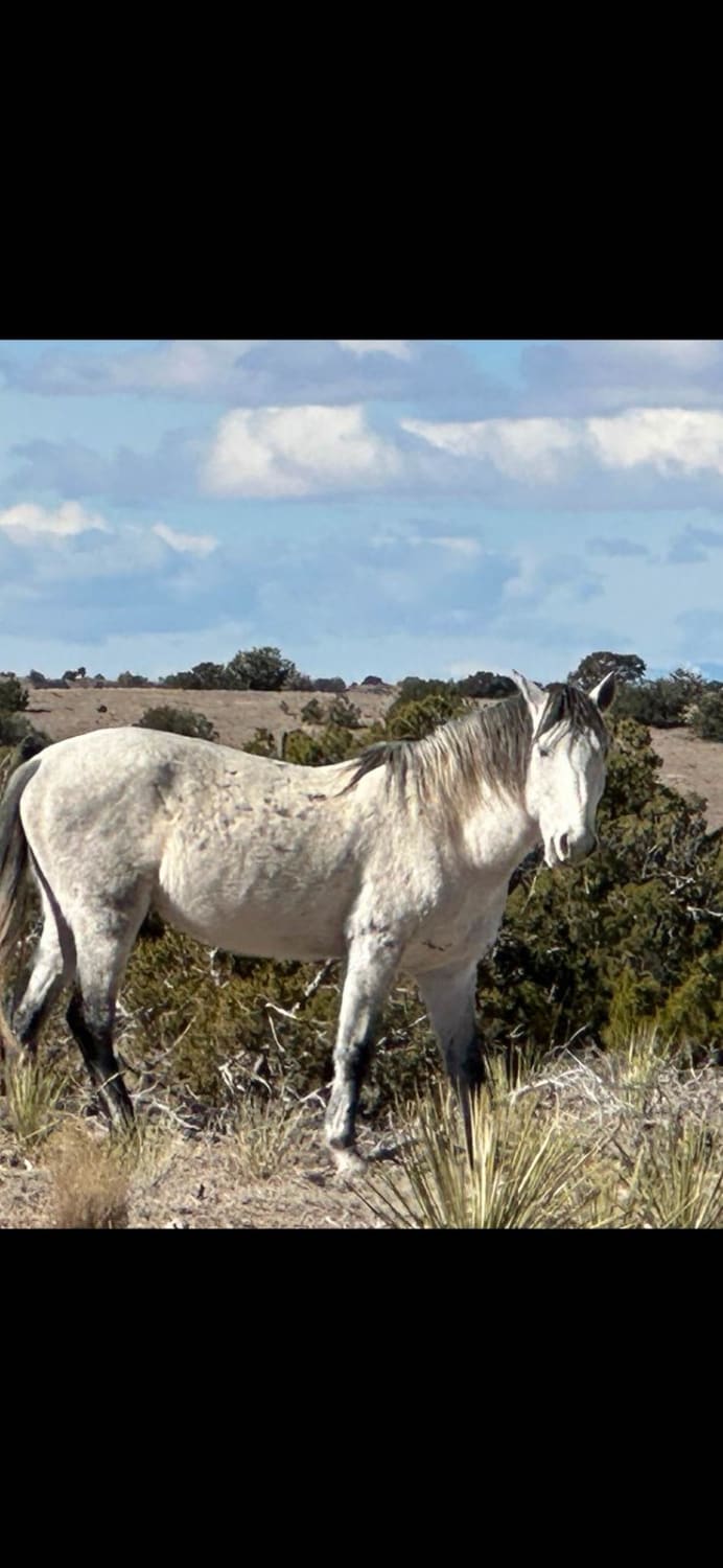
Wild Horse Shortcut
The onX Offroad Difference
onX Offroad combines trail photos, descriptions, difficulty ratings, width restrictions, seasonality, and more in a user-friendly interface. Available on all devices, with offline access and full compatibility with CarPlay and Android Auto. Discover what you’re missing today!
