Borrego Mesa Trail
Total Miles
8.9
Technical Rating
Best Time
Spring, Summer, Fall
Trail Type
Full-Width Road
Accessible By
Trail Overview
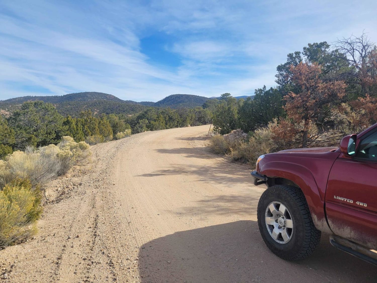
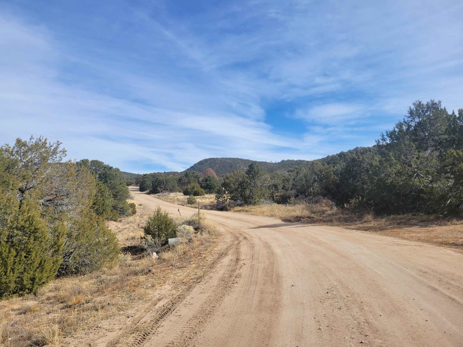
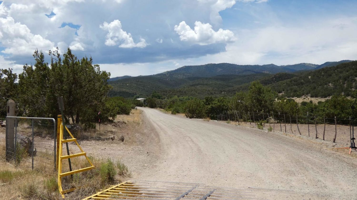
Beginning in the New Mexico town of Cordova, this trail climbs into the foothills of the Sangre De Christo Mountains. While the Borrego Mesa trail itself is relatively easy, it provides access to several other moderate routes throughout the area, as well as hiking and camping opportunities. Frequent views both up towards the Sangre De Christo and across the valley towards the Jemez dot this trail. Traffic tends to be minimal, as this area is mainly explored by locals from Espanola or Santa Fe. Note that the trail will close in the winter due to snowfall, so make sure to check the status and pay attention to closed gates along the route. The terrain around the trail is varied, from open mesa highlands to tall pine forests. For rockhounds, there are a variety of quartz deposits with varying geology around them, particularly in and around the highlands.
Photos of Borrego Mesa Trail
Difficulty
The trail is mostly 2 vehicles wide, and accessible to most vehicles. Do note there is a flash flood area about 1/4 of the way into the trail. Plan accordingly in the event of sudden rainfall. Additionally, some fifth wheel trailers have made it to the camping area in the back, though the dips along the trail can make that somewhat dicey.
Status Reports
Popular Trails
Holdup Spur
Rattlesnake
Nogal Canyon FSR-400
Ladron View
The onX Offroad Difference
onX Offroad combines trail photos, descriptions, difficulty ratings, width restrictions, seasonality, and more in a user-friendly interface. Available on all devices, with offline access and full compatibility with CarPlay and Android Auto. Discover what you’re missing today!
