Ox Valley Road
Total Miles
7.6
Elevation
1,996.49 ft
Duration
--
Technical Rating
Best Time
Fall, Summer, Spring
Trail Overview
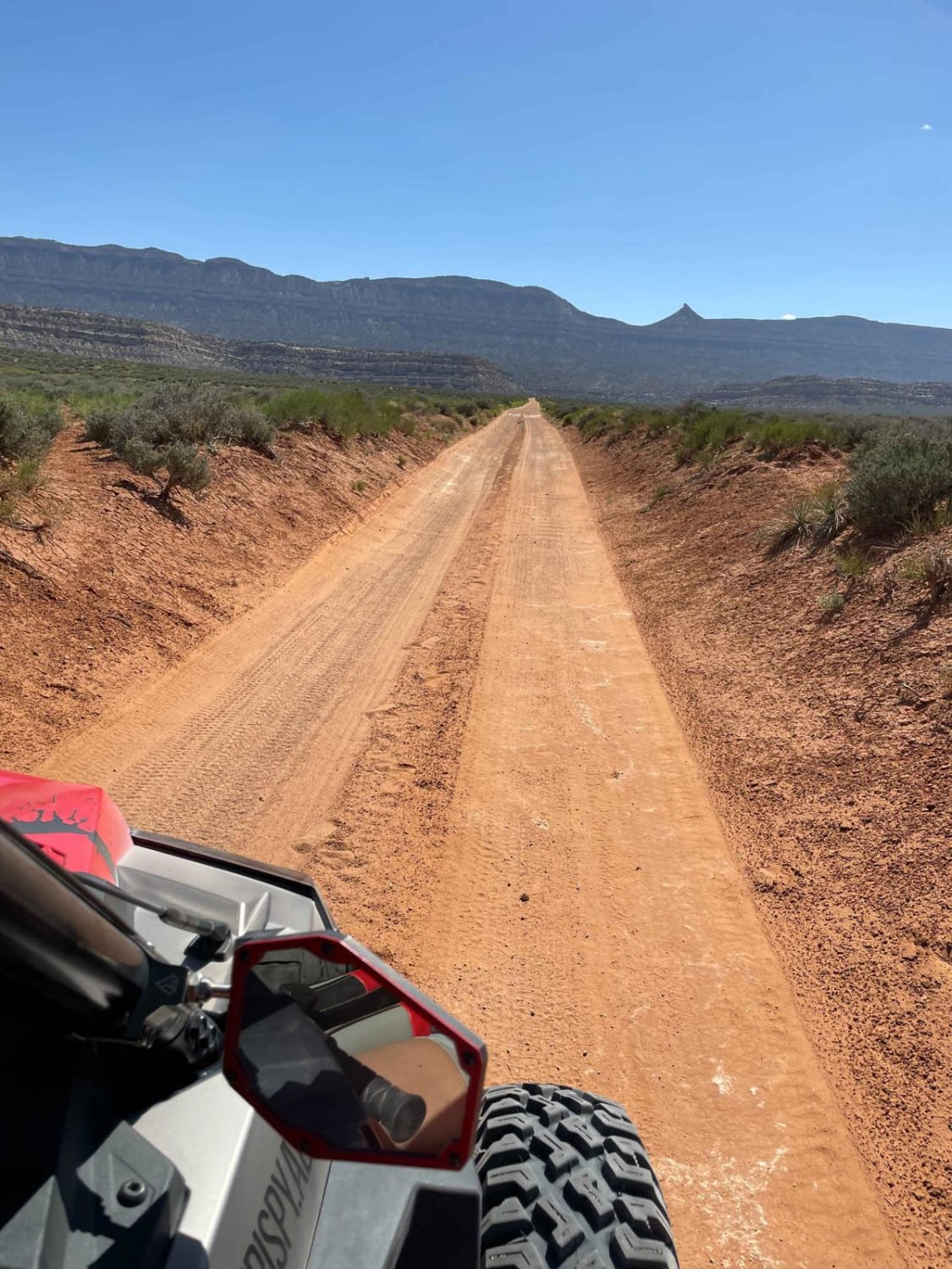
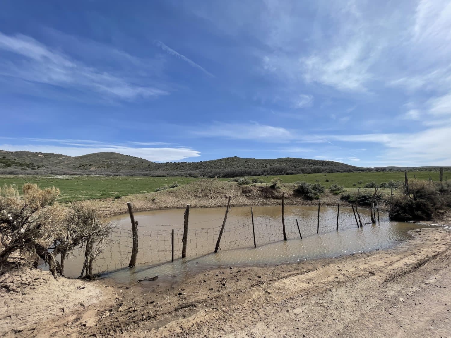
This trail runs from the town of Enterprise up to Ox Valley. The trail begins right where the pavement ends. There are quite a few offshoot trails and camping opportunities along the way. However, the star of the show is the valley itself with its lush green grasses and surrounding mountains. It's a sight to see. And there's even an AT 50" or narrower trail that loops into the hills behind the valley. The valley floor is private land but around the edges are National Forest with some unique tree grove camping spots. The trail is easy, and most of the way, two cars can pass easily. It gets narrower and steeper as it loops around the valley and continues into the hills. The trail's end is relatively uneventful as it ends at a small turnaround point. Larger vehicles should not take the final section but can easily turn around at the intersection right before it. Three bars of LTE cellular service fade to none. May be impassable when wet.
Photos of Ox Valley Road
Difficulty
Washboard and mostly wide with room to pass, may impassable when wet.
Status Reports
Popular Trails

Glass Eye Spring-BLM 564-KC 3355

Backwards Bill - CLOSED

Cell Tower Overlook

Batty Pass Caves
The onX Offroad Difference
onX Offroad combines trail photos, descriptions, difficulty ratings, width restrictions, seasonality, and more in a user-friendly interface. Available on all devices, with offline access and full compatibility with CarPlay and Android Auto. Discover what you’re missing today!

