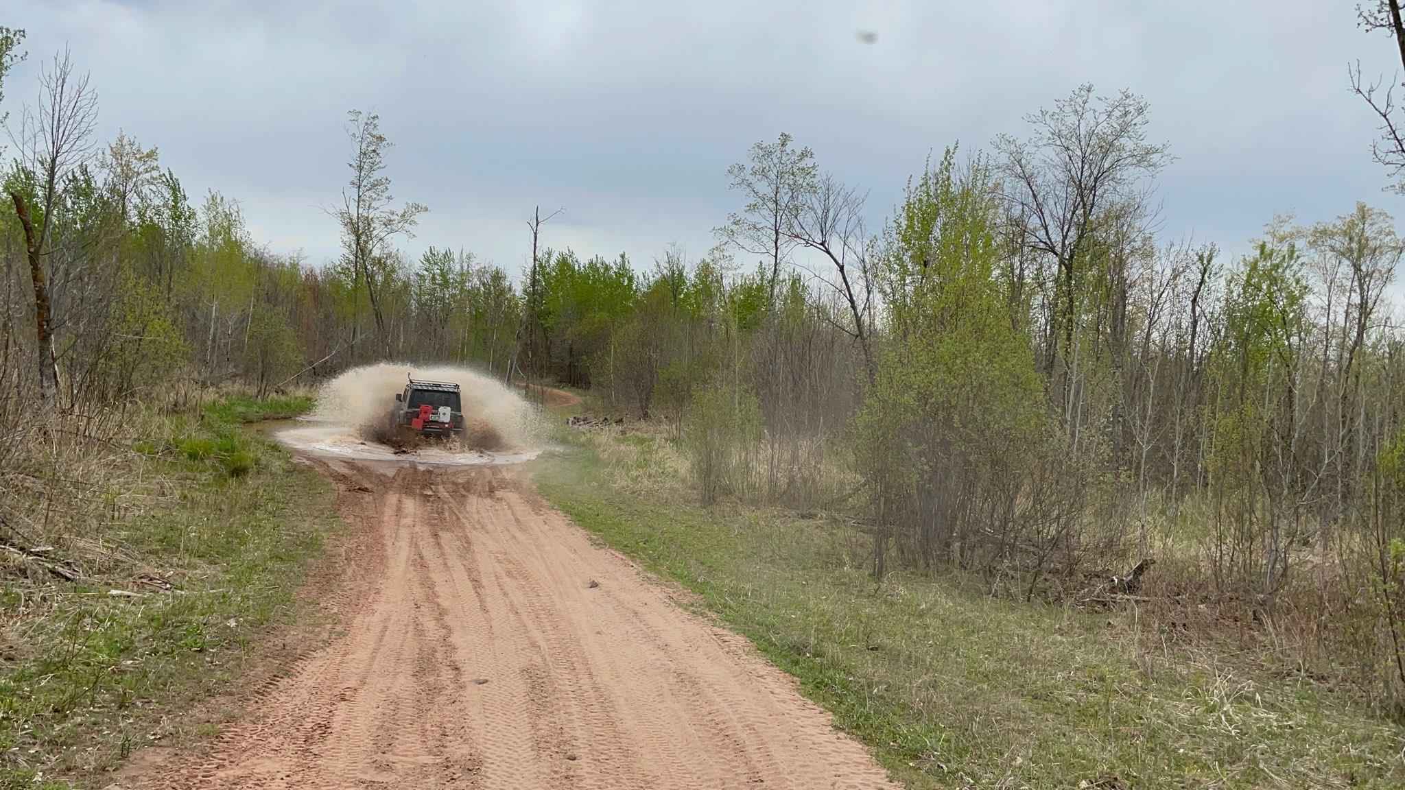
Mallard Lake Trail
Total Miles
7.1
Elevation
319.49 ft
Duration
--
Technical Rating
Best Time
Spring, Fall
Trail Overview
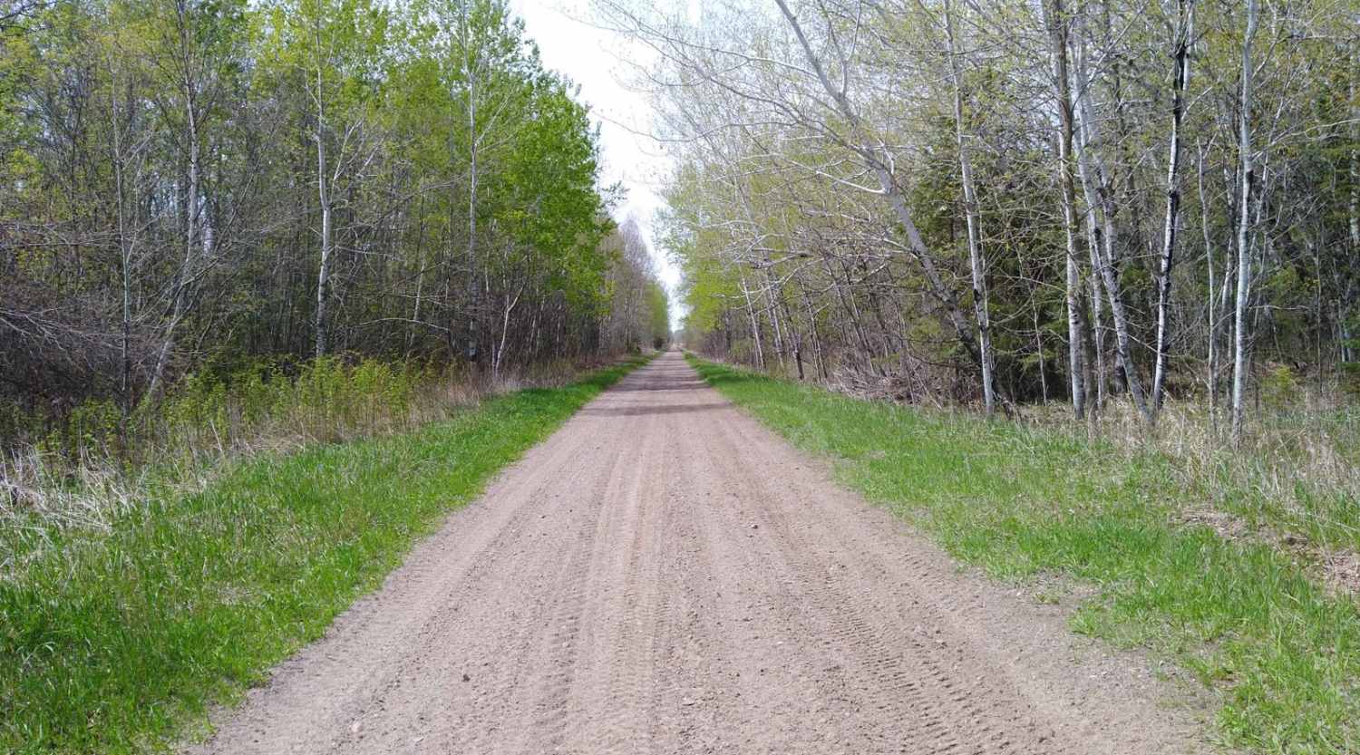
This route follows the Mallard Lake Trail; there are several St. Croix Forest Road offshoots. Starting from County Highway 25, the trail follows gravel roads and several Jeep and SxS specific routes that you can choose to follow or not--a great benefit of this route is the ability to add it to the beginning or end of your day, concluding at the Gandy Dancer Trail. This provides access to several additional state forests and trail areas. A large dirt and rock crawling opportunity, which is extremely narrow and difficult for Jeeps to make the sharp turn, is another adventure that can be added to this route.
Photos of Mallard Lake Trail
Difficulty
Most of this route is pretty easy to handle, although standing water in some areas depending on recent weather can be thick with mud--the kind that sucks tires into it. The major exception is the one noted crawling experience on the route. It is completely optional, but if you can, you should! It is rated about a 5 for Jeeps and 4 for ATVs and SxS.
Status Reports
Popular Trails
Cut Lake Scenic Drive
Huntersville Western Central Trail Start
Paul Bunyan Single Track West Loop
Boy River to Ketchum Road Northwest
The onX Offroad Difference
onX Offroad combines trail photos, descriptions, difficulty ratings, width restrictions, seasonality, and more in a user-friendly interface. Available on all devices, with offline access and full compatibility with CarPlay and Android Auto. Discover what you’re missing today!
