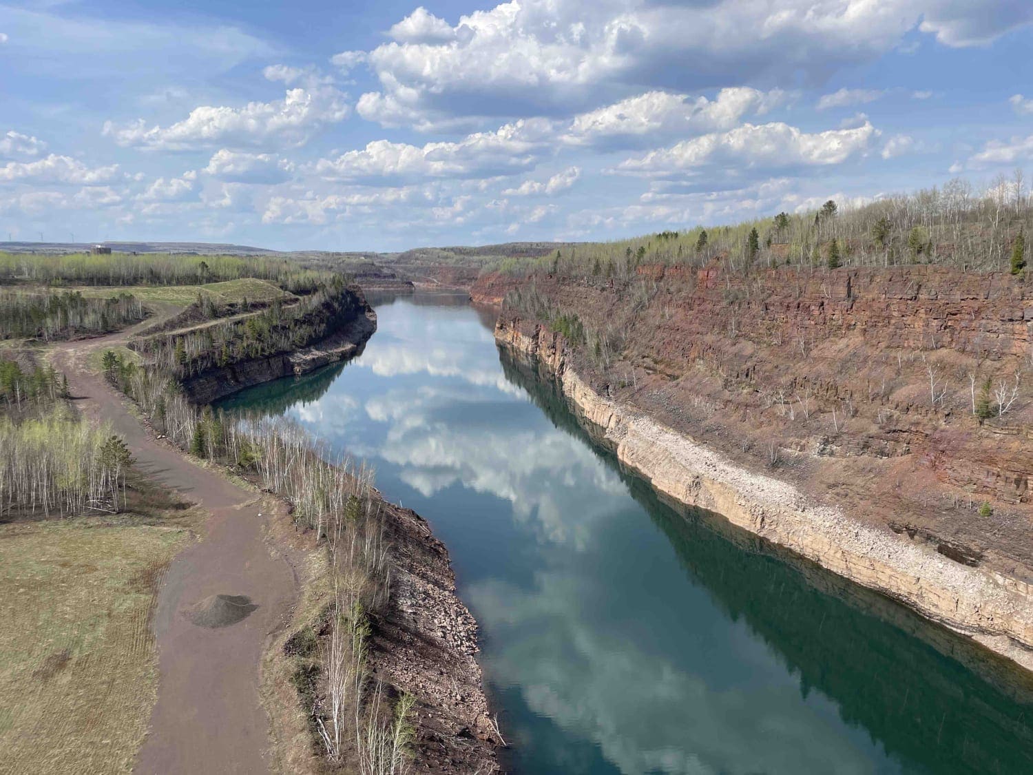
Off-Road Trails in Minnesota

Discover off-road trails in Minnesota
Trail Length
Best Time of Year
Sort By
Learn more about Akeley Cutoff Road SW Connector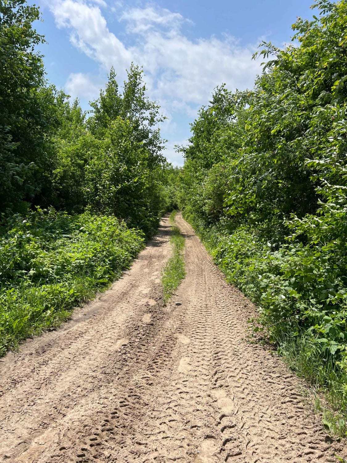
Akeley Cutoff Road SW Connector
Total Miles
1
Tech Rating
Easy
Best Time
Summer, Fall, Spring
Learn more about Blind Lake Connector Trail - North 68
Blind Lake Connector Trail - North 68
Total Miles
8.4
Tech Rating
Easy
Best Time
Spring, Summer, Fall
Learn more about Blind Lake Connector Trail - South 68
Blind Lake Connector Trail - South 68
Total Miles
9.9
Tech Rating
Easy
Best Time
Spring, Summer, Fall
Learn more about Blind Lake Trail- East 106
Blind Lake Trail- East 106
Total Miles
8.1
Tech Rating
Easy
Best Time
Spring, Summer, Fall
Learn more about Blind Lake Trail- West 106
Blind Lake Trail- West 106
Total Miles
7.8
Tech Rating
Easy
Best Time
Spring, Summer, Fall
Learn more about Blue Ox Scenic Lake Road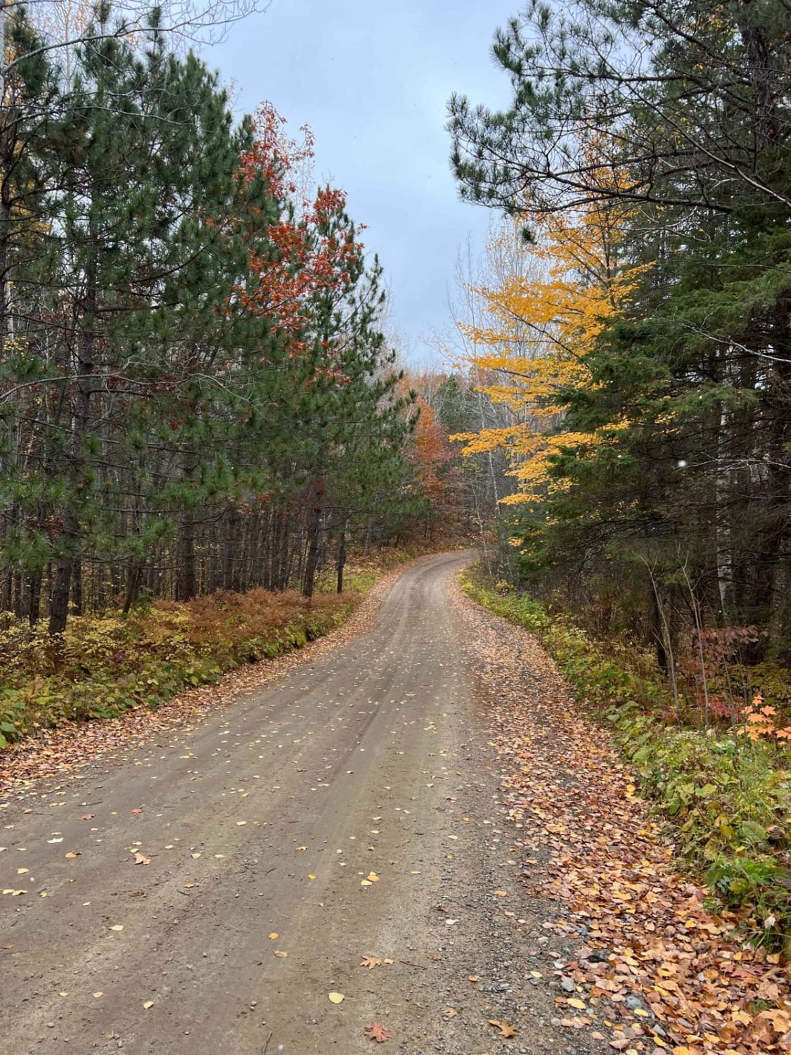
Blue Ox Scenic Lake Road
Total Miles
2.9
Tech Rating
Easy
Best Time
Spring, Summer, Fall
Learn more about Boy River to Ketchum Road Northwest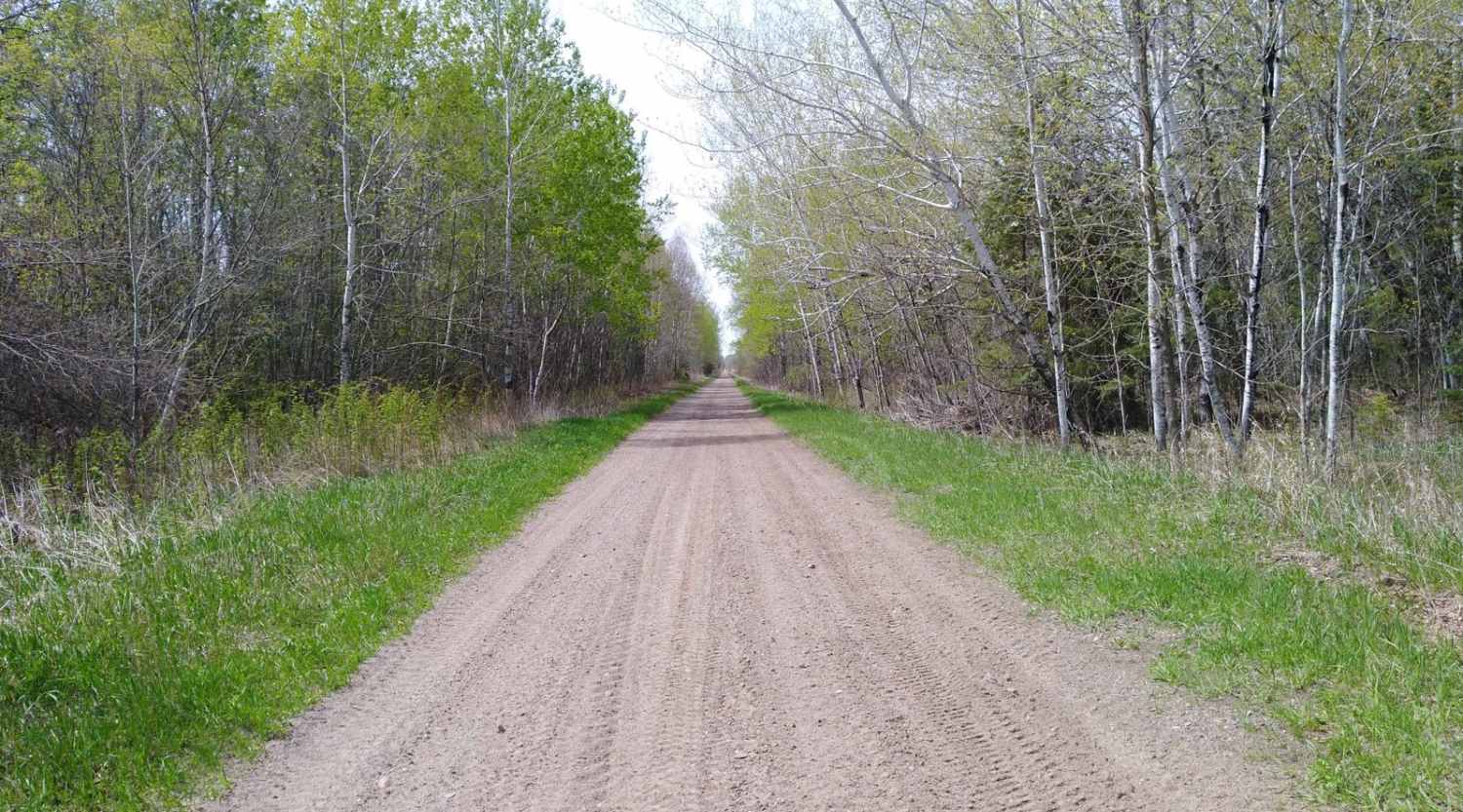
Boy River to Ketchum Road Northwest
Total Miles
19.2
Tech Rating
Easy
Best Time
Spring, Fall, Summer
Learn more about Bull Moose Trail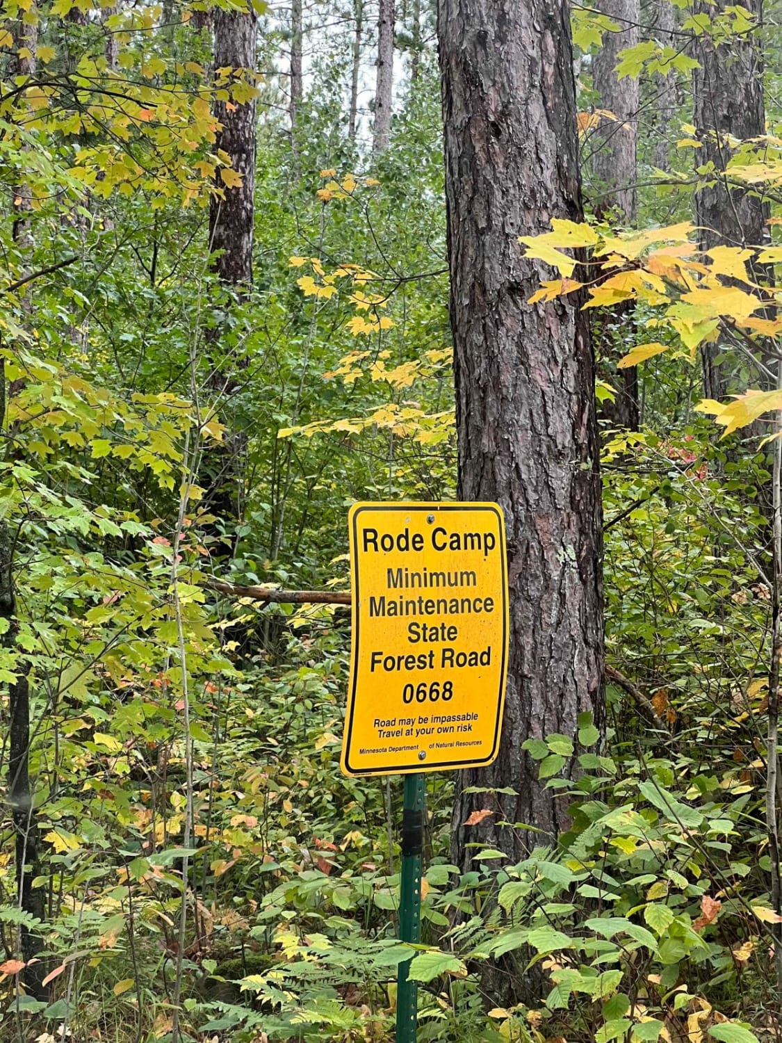
Bull Moose Trail
Total Miles
2.7
Tech Rating
Easy
Best Time
Spring, Summer, Fall, Winter
Learn more about Bull Run Trail
Bull Run Trail
Total Miles
2.3
Tech Rating
Easy
Best Time
Spring, Summer, Fall
Learn more about Bull Run Trail Extension
Bull Run Trail Extension
Total Miles
1.3
Tech Rating
Easy
Best Time
Spring, Summer, Fall, Winter
Learn more about Bunyan Biker Brawl
Bunyan Biker Brawl
Total Miles
9.1
Tech Rating
Moderate
Best Time
Spring, Summer, Fall
Learn more about Cedar Lake Loop
Cedar Lake Loop
Total Miles
9.8
Tech Rating
Easy
Best Time
Spring, Summer, Fall
Learn more about Central Huntersville Cut Through
Central Huntersville Cut Through
Total Miles
0.9
Tech Rating
Easy
Best Time
Spring, Summer, Fall
Learn more about Circle Farm Trail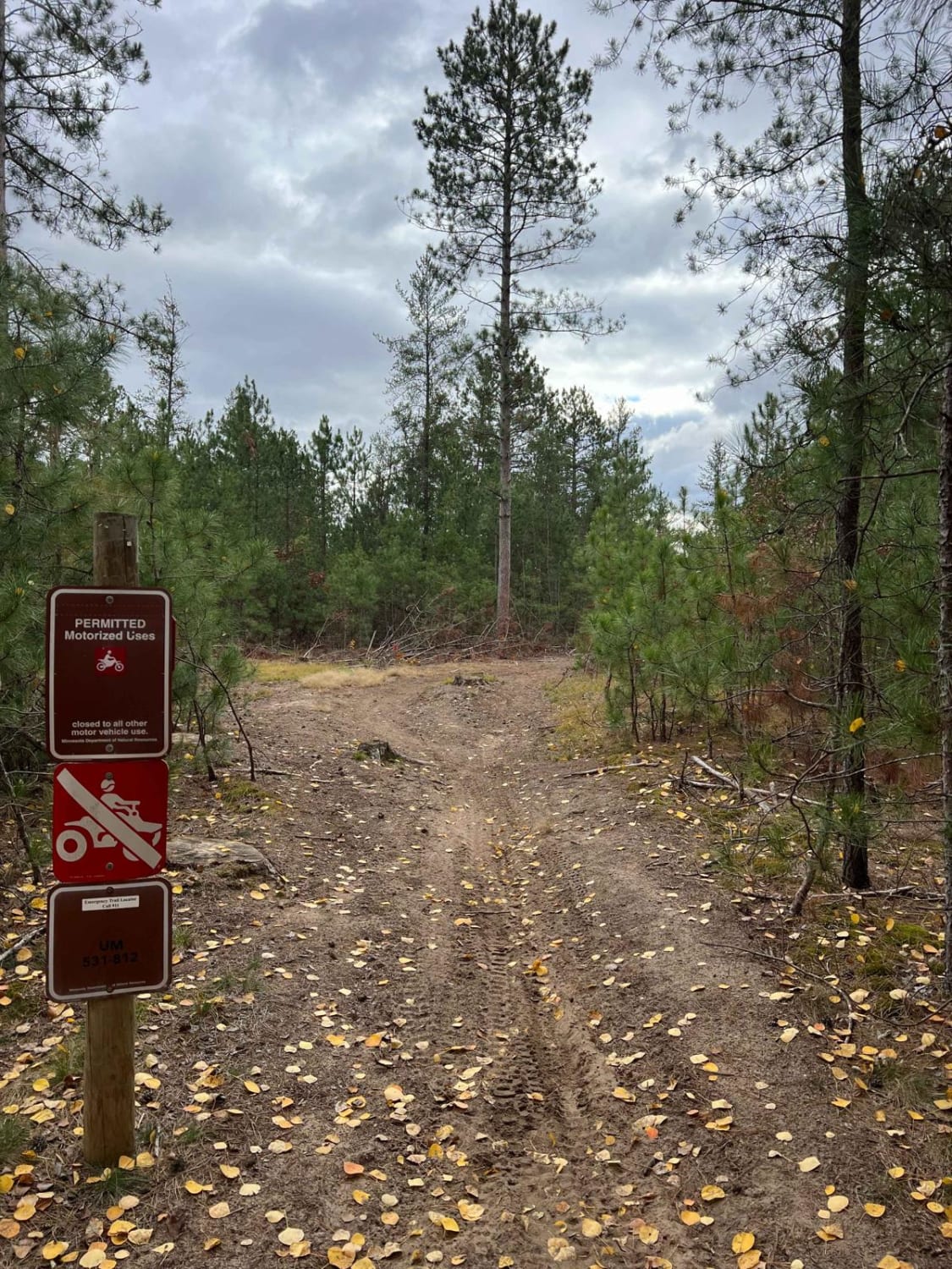
Circle Farm Trail
Total Miles
2.7
Tech Rating
Easy
Best Time
Spring, Summer, Fall
Learn more about County Road 3 to Wisconsin Border
County Road 3 to Wisconsin Border
Total Miles
7.3
Tech Rating
Easy
Best Time
Spring, Summer, Fall
Learn more about Crow Wing River Single Track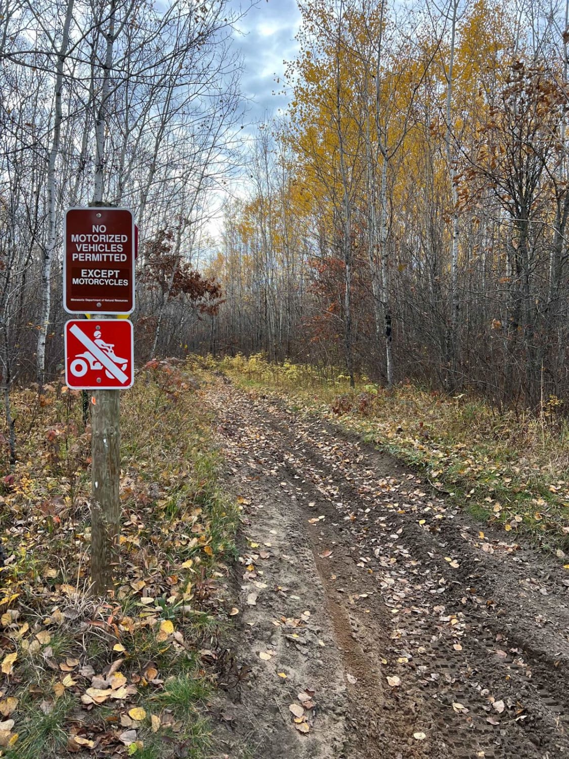
Crow Wing River Single Track
Total Miles
3.4
Tech Rating
Easy
Best Time
Fall, Summer, Spring
Learn more about Cut Lake Scenic Drive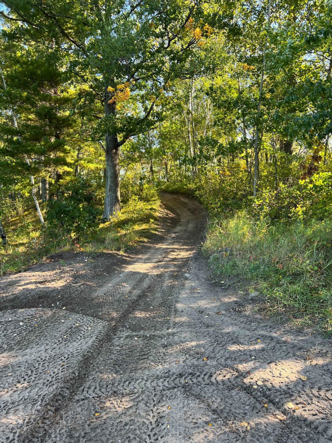
Cut Lake Scenic Drive
Total Miles
0.9
Tech Rating
Easy
Best Time
Spring, Summer, Fall, Winter
Learn more about Denham to Moose Lake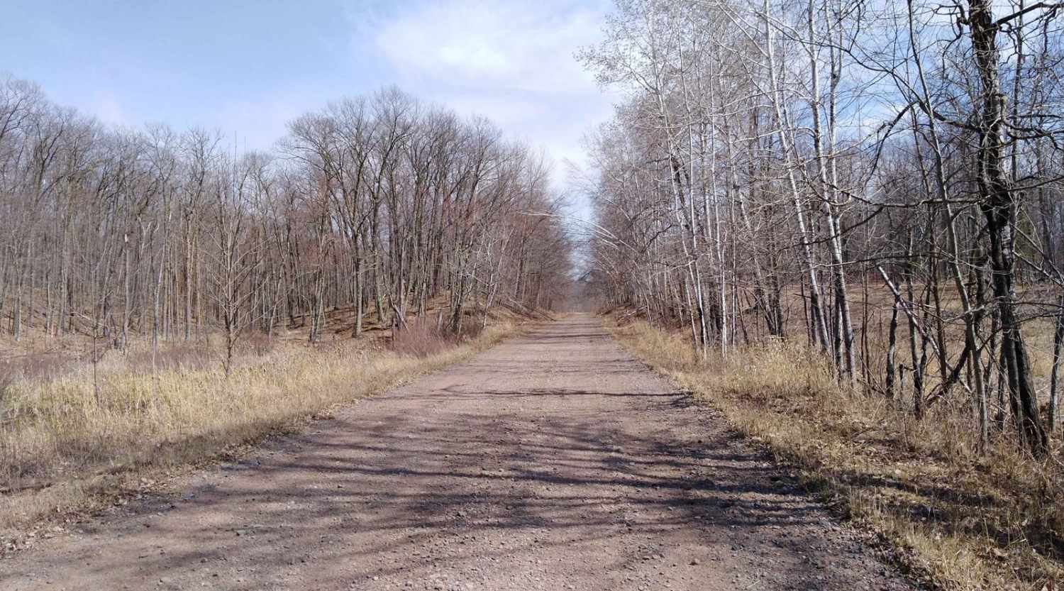
Denham to Moose Lake
Total Miles
12.6
Tech Rating
Easy
Best Time
Spring, Summer, Fall
Learn more about East Central Scenic Trail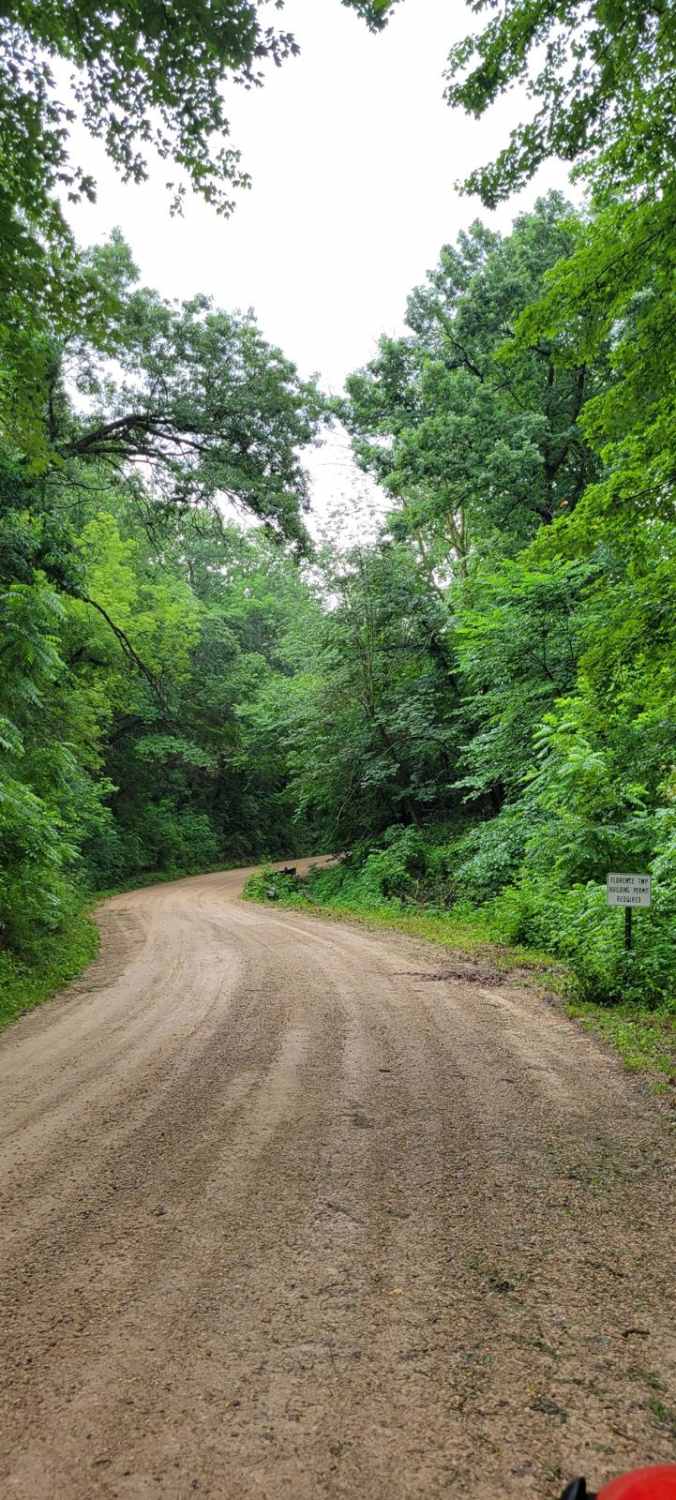
East Central Scenic Trail
Total Miles
2.3
Tech Rating
Easy
Best Time
Fall
Viewing 20 of 108
The onX Offroad Difference
onX Offroad combines trail photos, descriptions, difficulty ratings, width restrictions, seasonality, and more in a user-friendly interface. Available on all devices, with offline access and full compatibility with CarPlay and Android Auto. Discover what you’re missing today!