Sparkys Top
Total Miles
12.0
Technical Rating
Best Time
Fall, Summer, Spring
Trail Type
Full-Width Road
Accessible By
Trail Overview
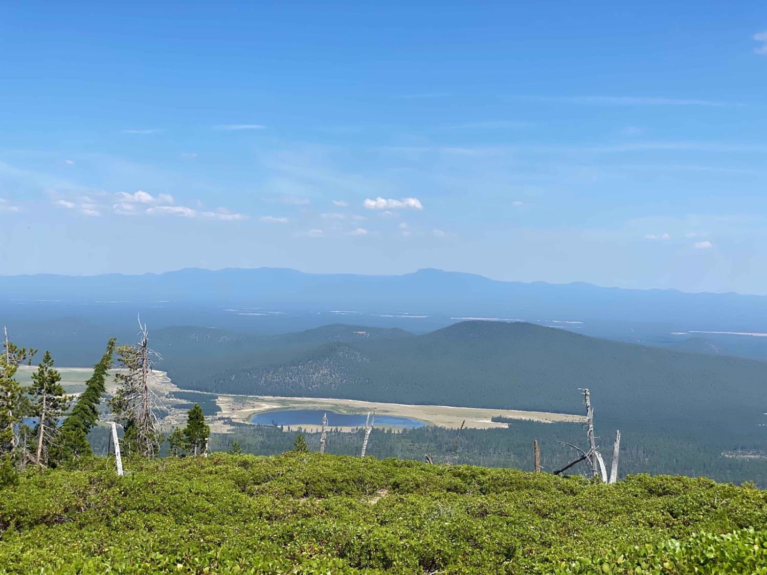
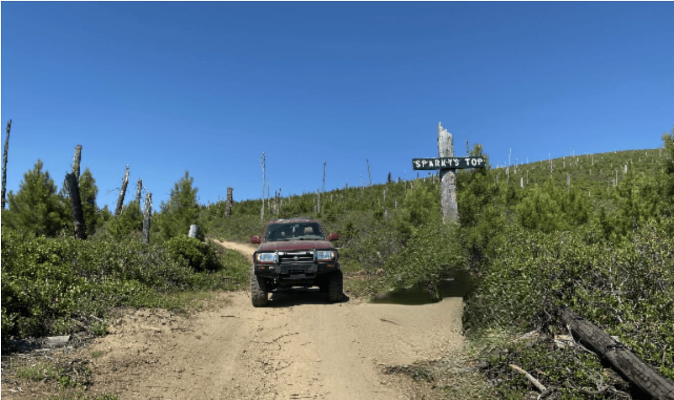
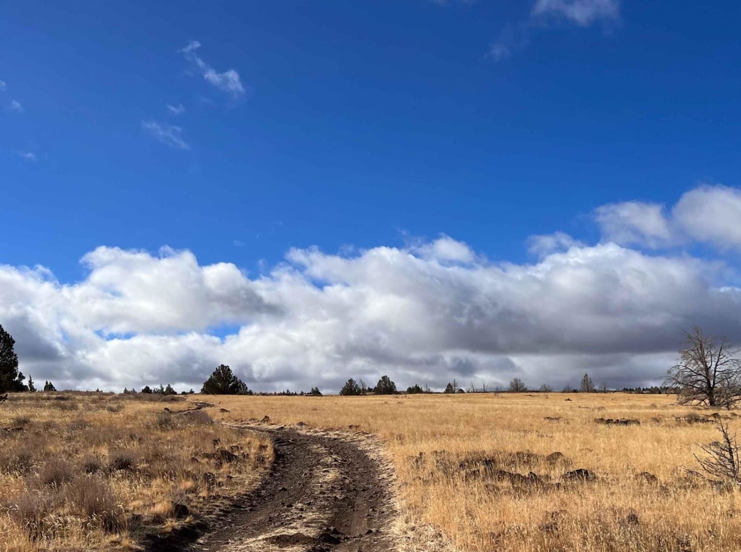
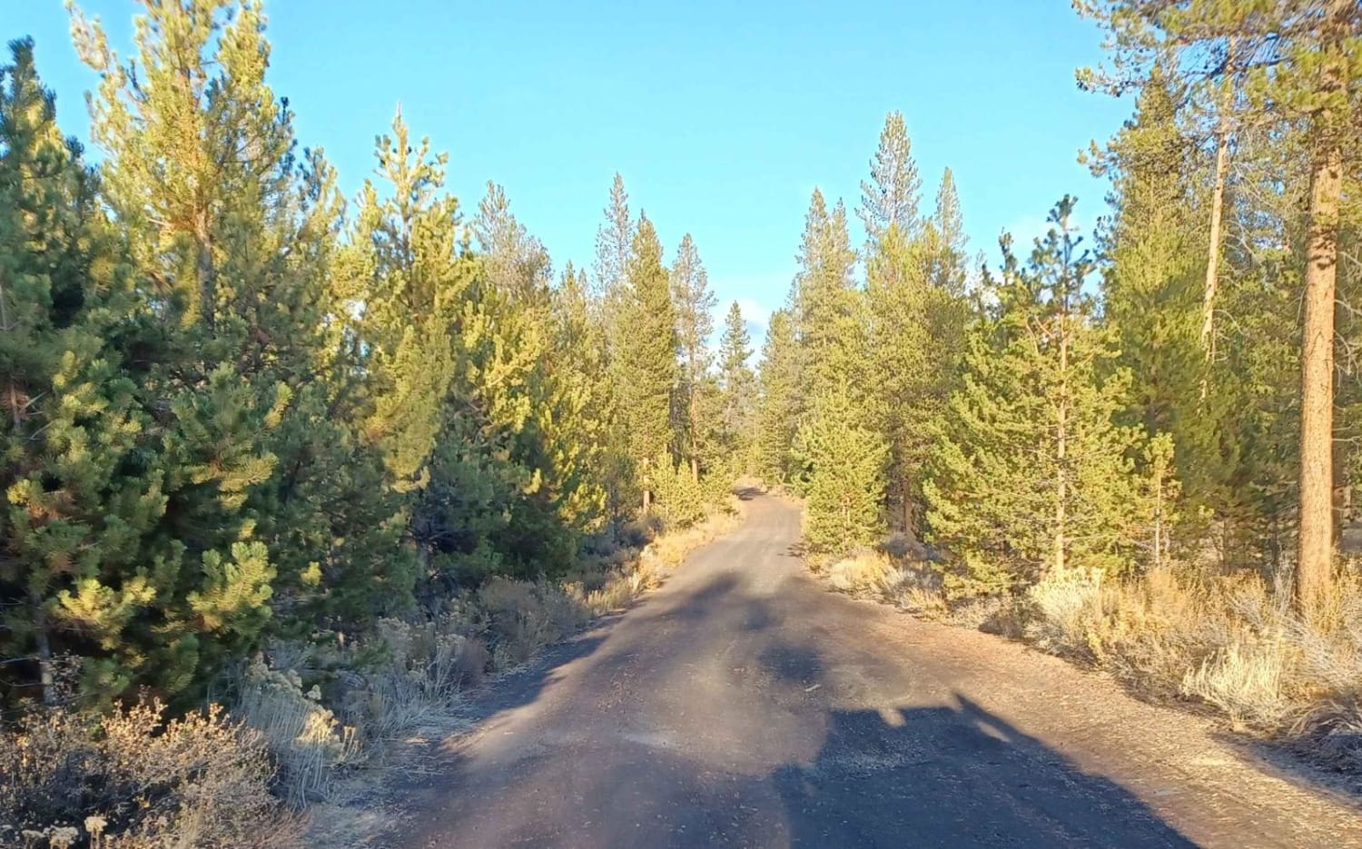
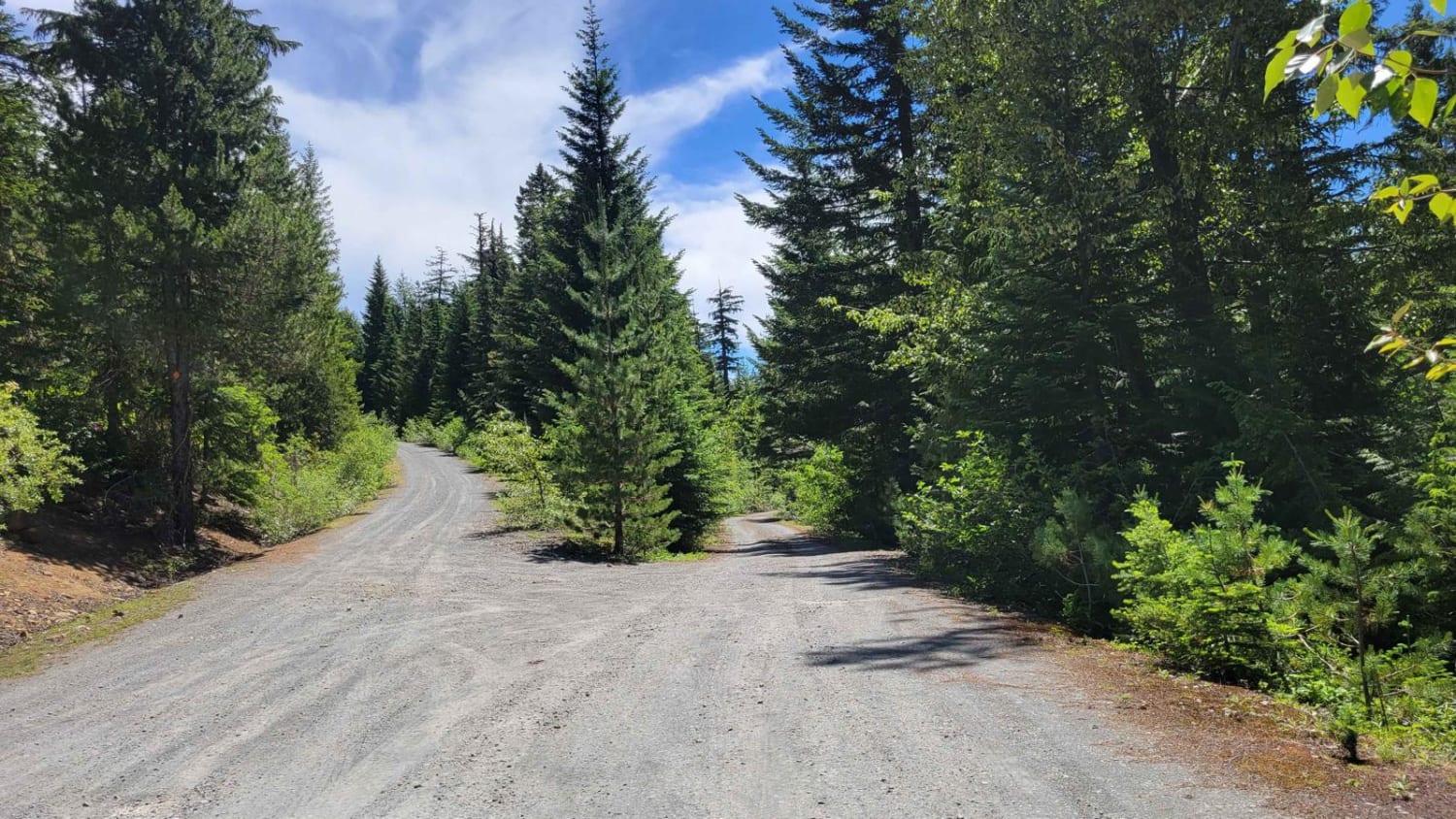
This trail starts on a cinder double-track road that runs the south perimeter of Wickiup Lake. From there, you start traveling upward on a trail named FIR which also is a double track that starts the climb up Davis Mountain. Continuing on this trail, you will be surrounded by forestry with a cinder road beneath you managed by the Forest Service. The trail is easy, featuring a slight incline for the first stretch with not many variations. From this cinder road, the trail either continues straight for a very easy drive to the destination, but for this mapped trail, it turns off and takes you up a slightly steeper single-track trail (FSR 6240) with some partially overgrown foliage areas. On this portion of the trail, the grade dips and turns through the forest. About 6 miles into the trail, you emerge out of the trees where a wide-open view of lakes and hills surrounds you. The terrain at this point becomes sandy along with some wood debris on the trail. FSR 6240 meets back up with the FIR trail where it turns and you make the final ascent to Sparky's Top. The final ascent consists of moderately loose sand and gravel with rock protrusions of approximately 8 inches in height. At the top of Davis Mountain (Sparky's Top), a view of various lakes and treetops is visible.
Photos of Sparkys Top
Difficulty
These are double and single-track trails that are multi-directional with sandy washes, along with 8-inch rock protrusions out of the sand. Various dips and turns on the trail are to be expected.
Status Reports

Popular Trails
Three Springs Road
Mud Creek - Forest Road 309

The onX Offroad Difference
onX Offroad combines trail photos, descriptions, difficulty ratings, width restrictions, seasonality, and more in a user-friendly interface. Available on all devices, with offline access and full compatibility with CarPlay and Android Auto. Discover what you’re missing today!