Deep Slough
Total Miles
5.3
Elevation
2,614.37 ft
Duration
1.25 Hours
Technical Rating
Best Time
Summer, Fall
Trail Overview
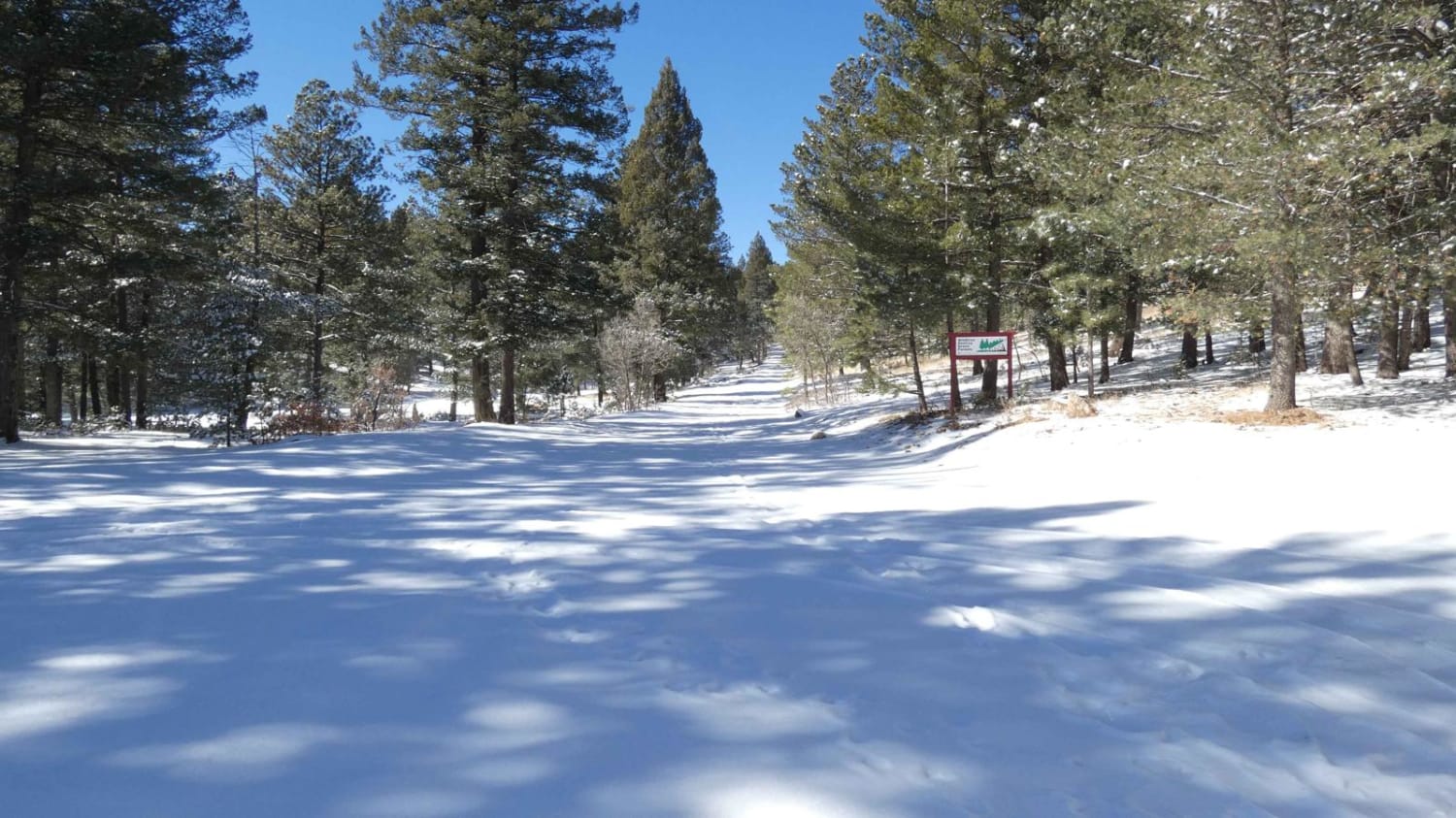
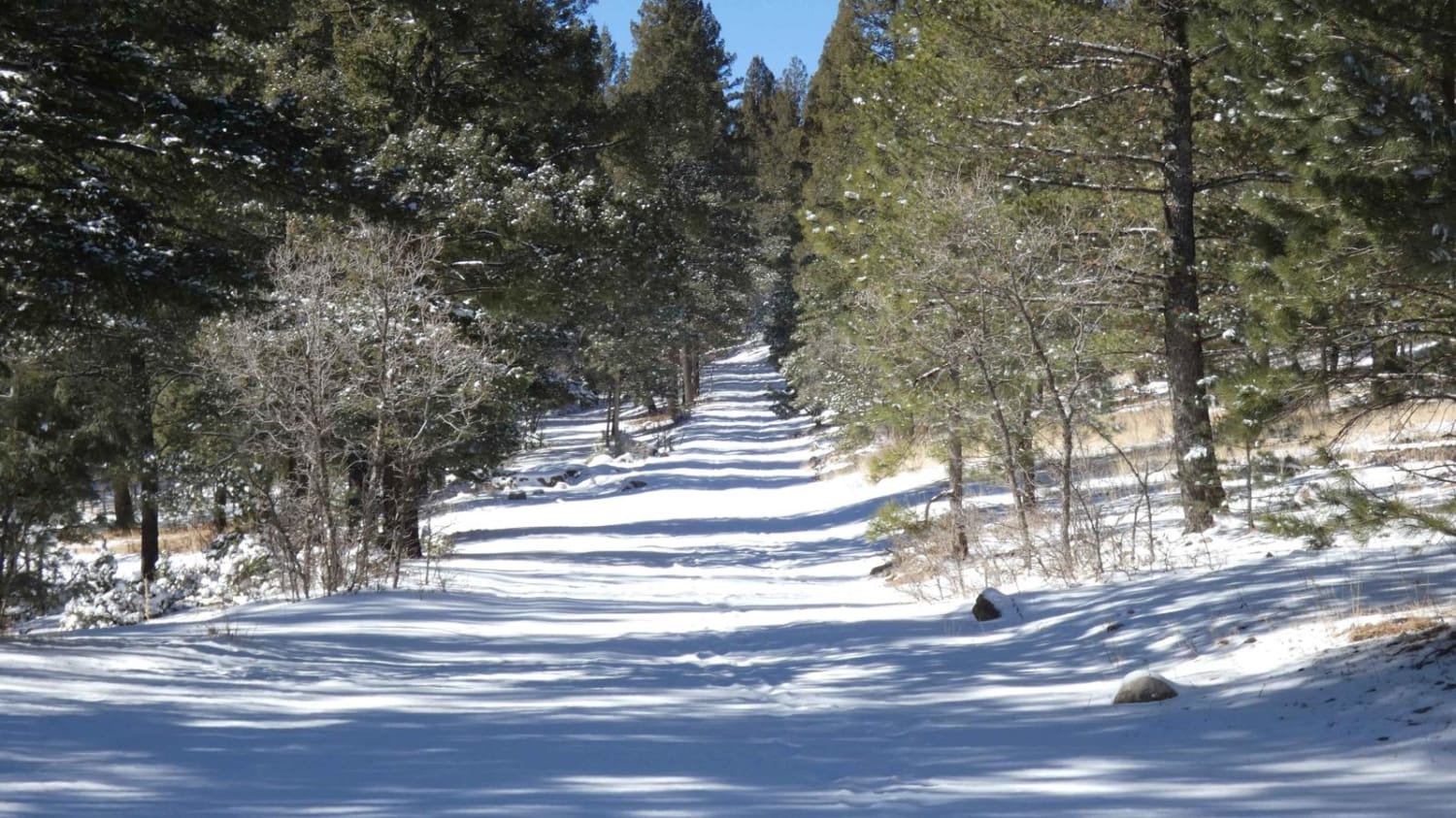
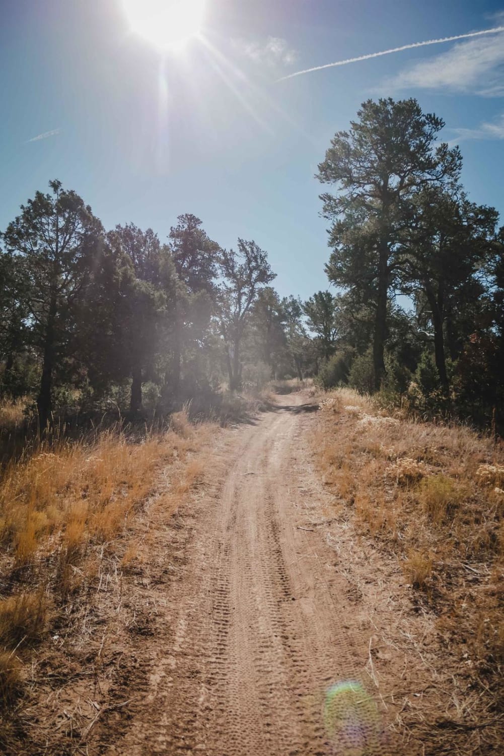
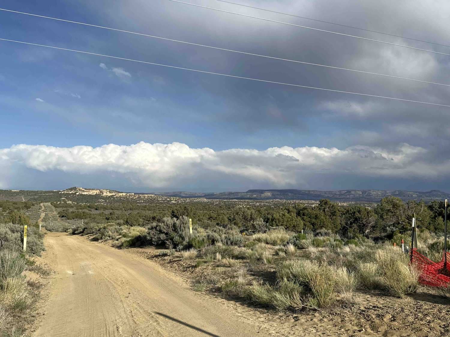
Deep Slough connects from Sixteen Springs Canyon Road in the east, over to Count Road 99 in the west, and is a well-traveled road with several campsites of various sizes along the length of the route. The surface is a combination of rock and dirt, generally well maintained, but does have areas prone to rutting after snow or rains. The route is safe for most vehicles and provides room enough for two vehicles for the first 2/3 of the route. The last 1/3 of the route on the west end before County Road 99 does narrow down to single vehicle width with only a couple of areas to pull off or pass another vehicle. The final portion also introduces some smaller rocky areas and rock beds, with no obstacles larger than 10" but should be avoided by anything other than 4x4 vehicles. The majority of the route is well-lined by an abundance of trees with a few spurs that also provide more dispersed camp areas. During summer and fall months the trail is easily completed, and can even cater to RVs and trailers. However, during the winter and spring months the less rocky areas along the road are subject to rutting and slippery mud conditions, and snowfall in excess of 6" is expected making the trail passable by 4x4 vehicles only. The west end before CR99 does have a slightly off-camber slope on a rock bed that is well-shaded, be sure to check surface conditions during winter months before driving as the rocks can cover in ice underneath the snow. Cell coverage in the area is excellent with only a couple of small areas where service can become weak. The trail is accessed by turning onto Sixteen Springs Canyon Rd. off of US HWY 82, food and fuel can be obtained in the town of Mayhill located 10 miles to the southeast on Highway 82, or in Cloudcroft 8 miles to the northeast on Highway 82. The area does have a heavy presence of elk, some deer, and coyotes as well as other wildlife.
Photos of Deep Slough
Difficulty
Snow, mud, and icy conditions in the winter months cause some difficult areas along the trail. Snowfall in excess of 6 inches, and ice-covered rocks. Some small rock beds may be difficult for 2wd passenger vehicles towards the west end of the trail.
Status Reports
Popular Trails
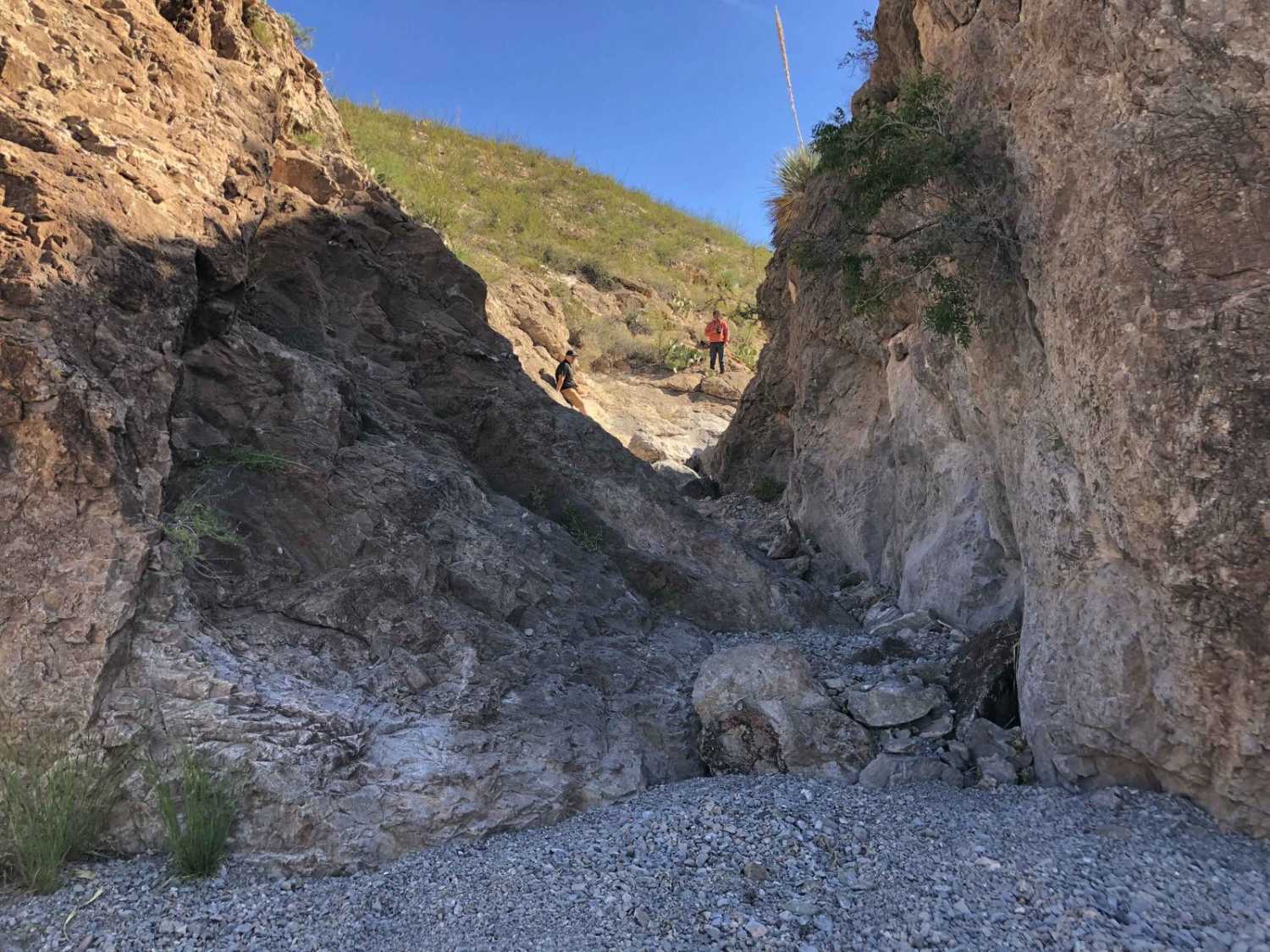
Can Opener
Arizona to Center Point Fire Station 2
Cox Canyon Arch
The onX Offroad Difference
onX Offroad combines trail photos, descriptions, difficulty ratings, width restrictions, seasonality, and more in a user-friendly interface. Available on all devices, with offline access and full compatibility with CarPlay and Android Auto. Discover what you’re missing today!
