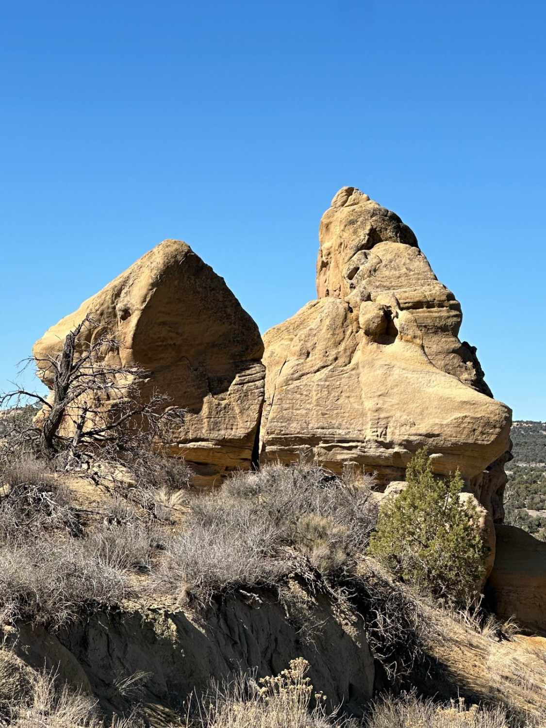
Cox Canyon Arch
Total Miles
4.4
Elevation
1,893.57 ft
Duration
1 Hours
Technical Rating
Best Time
Spring, Summer, Fall
Trail Overview
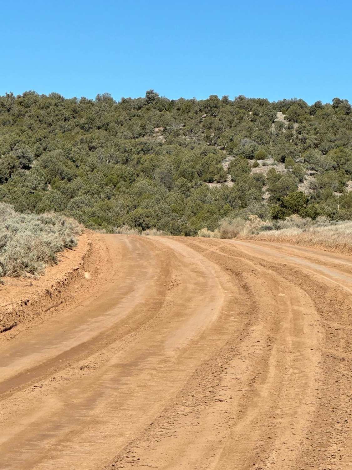
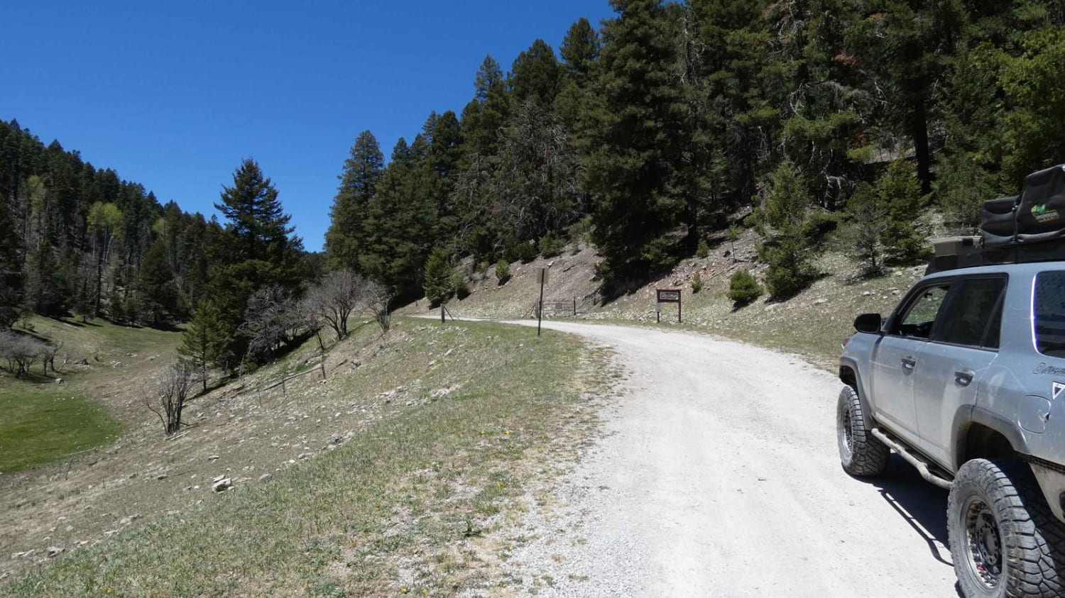
This route is relatively easy up and back, except for ruts and a water crossing near the end. If you decide to hike to Cox Canyon Arch itself, it is a short, moderate hike directly north from the first parking area past the gas industry equipment. If you continue to the turn-around loop at the end, there is a short hike to a spring.
Photos of Cox Canyon Arch
Difficulty
The route is easy except for ruts and a water crossing.
Popular Trails
Borrego Mesa Trail
Tank Tour

SXS/ATV Test Your Skills Trail
Atkinson Canyon
The onX Offroad Difference
onX Offroad combines trail photos, descriptions, difficulty ratings, width restrictions, seasonality, and more in a user-friendly interface. Available on all devices, with offline access and full compatibility with CarPlay and Android Auto. Discover what you’re missing today!
