Beaver Creek
Total Kilometers
15.3
Technical Rating
Best Time
Summer
Trail Type
Full-Width Road
Accessible By
Trail Overview
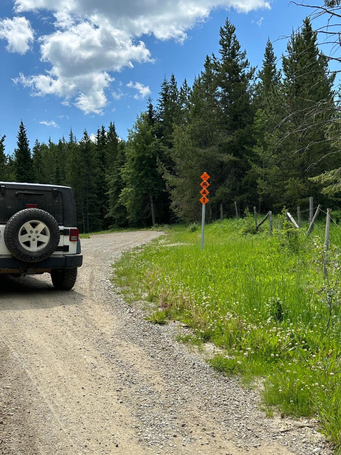
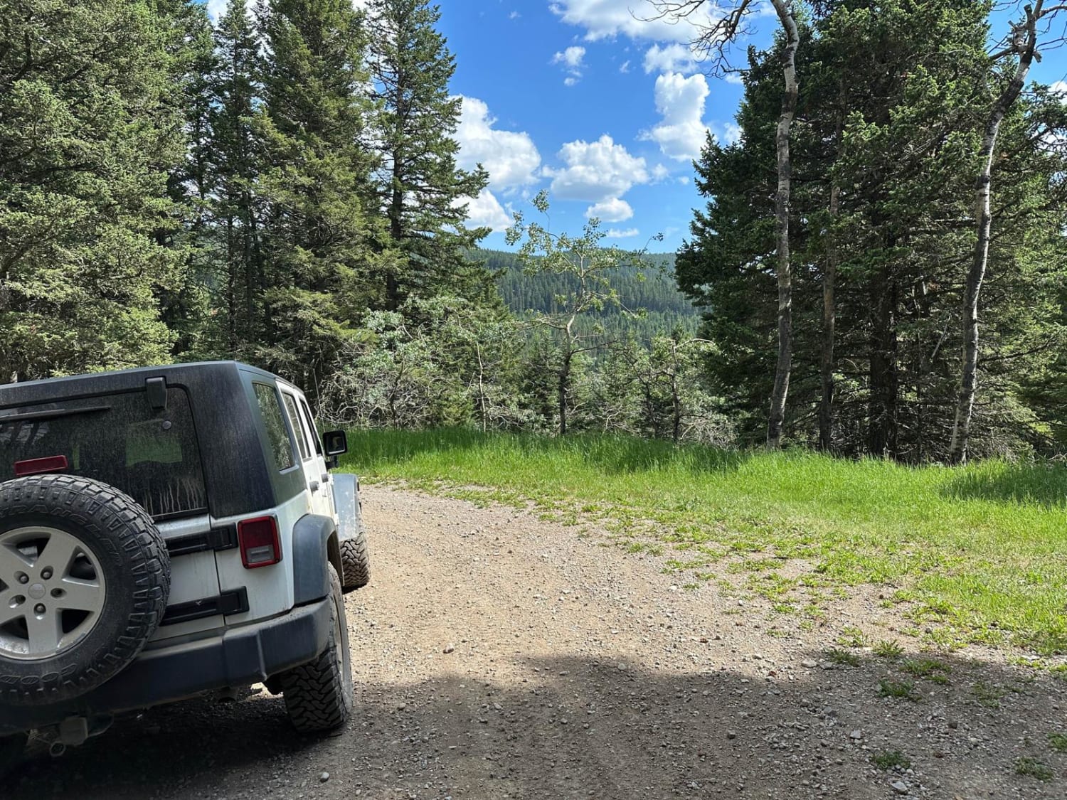
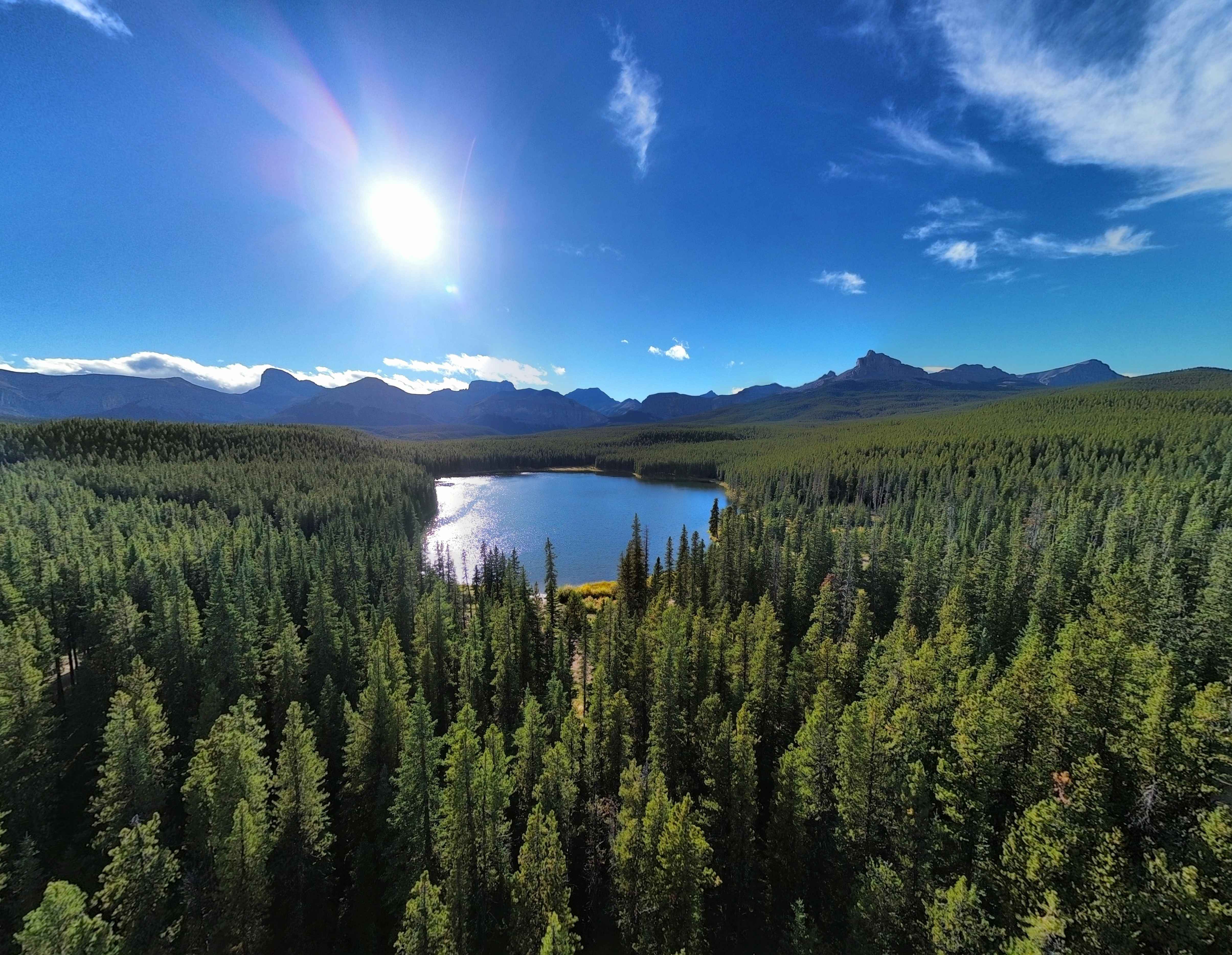
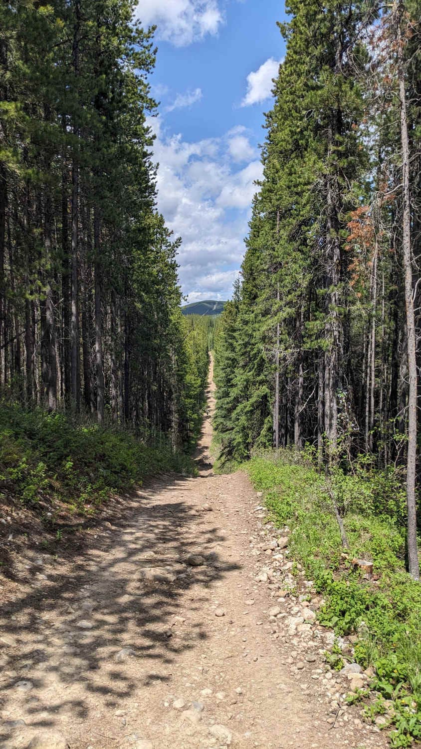
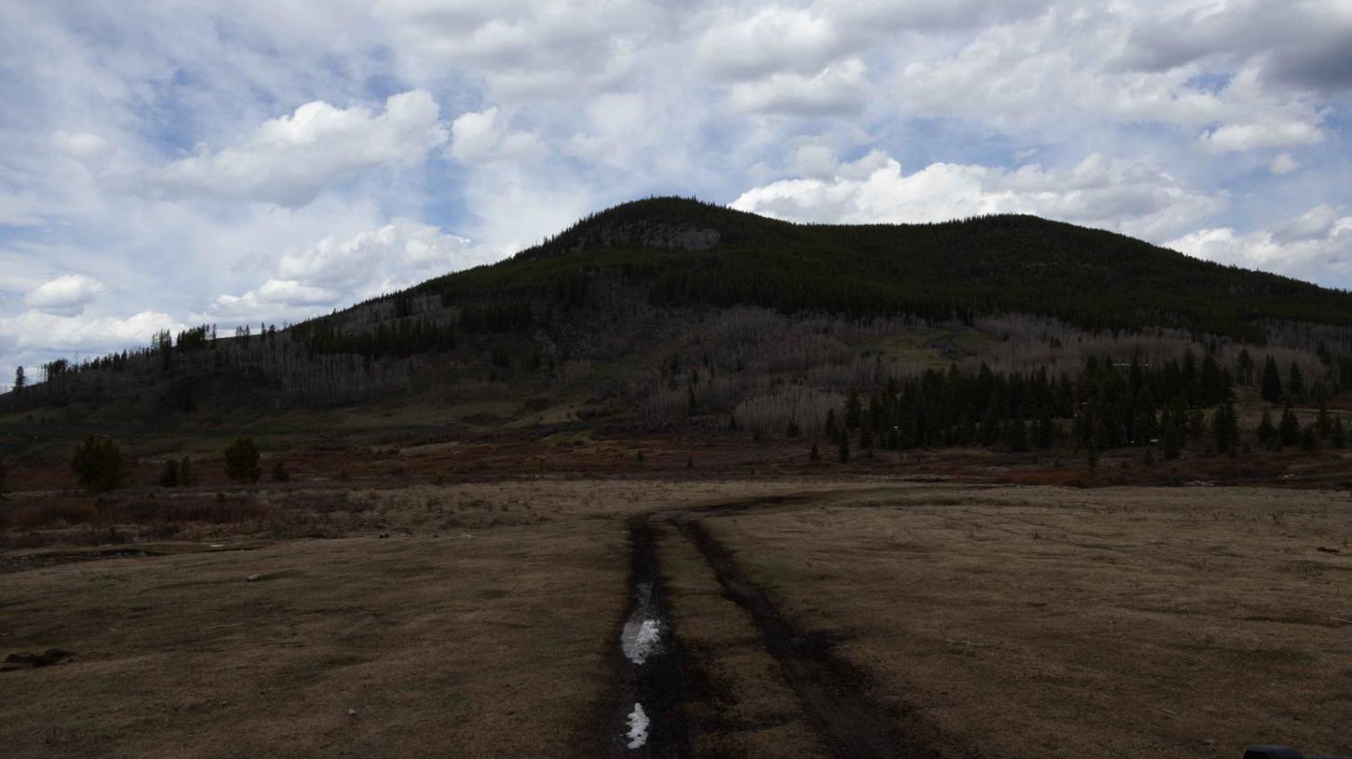
This is a dirt trail that leads you to the south portion of the Porcupine Hills Public Land Use Zone. It offers a nice trail through the forests of the Porcupine Hills with many opportunities for camping as well as access to ATV/SXS and dirt bike trails. This trail offers many nice views of forests, rolling hills, and mountains in the background.
Photos of Beaver Creek
Difficulty
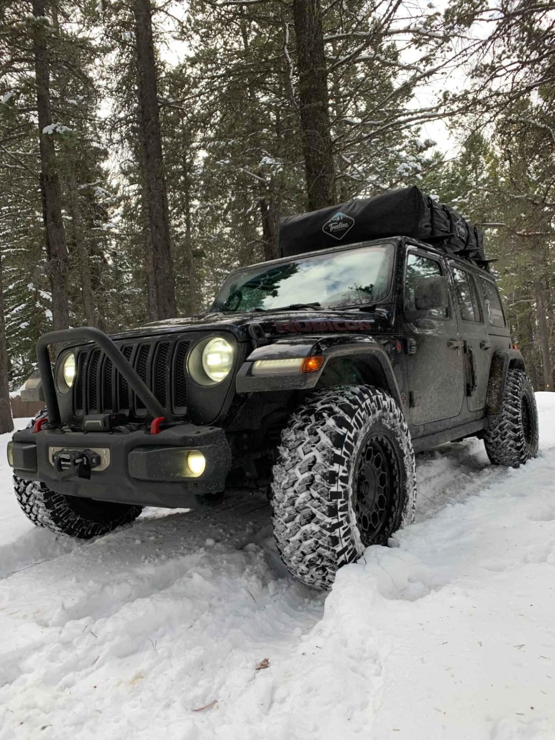
This trail can vary in difficulty based off of the weather conditions. When dry, the only obstacles will be some rutted out portions of the road. When wet, the dirt road becomes very muddy and many deep puddles can form. The mud on this trail becomes particularly slippery, which can make the winding trail difficult. In the winter, this trail is not maintained and can increase in difficulty as well.
Status Reports
Beaver Creek can be accessed by the following ride types:
- High-Clearance 4x4
- SUV
- SxS (60")
- ATV (50")
- Dirt Bike
Beaver Creek Map
Popular Trails
Allison creek Trail
East Trout Creek Road
Quirk Ridge
The onX Offroad Difference
onX Offroad combines trail photos, descriptions, difficulty ratings, width restrictions, seasonality, and more in a user-friendly interface. Available on all devices, with offline access and full compatibility with CarPlay and Android Auto. Discover what you’re missing today!
