Airport to Tower
Total Kilometers
8.4
Technical Rating
Best Time
Spring, Summer, Fall
Trail Type
Full-Width Road
Accessible By
Trail Overview
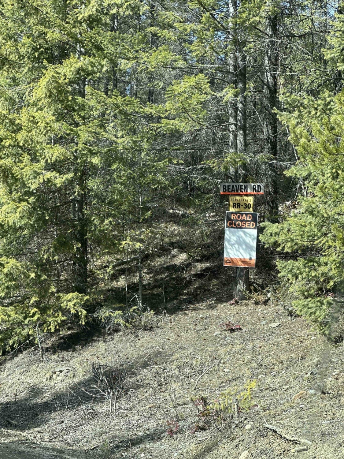
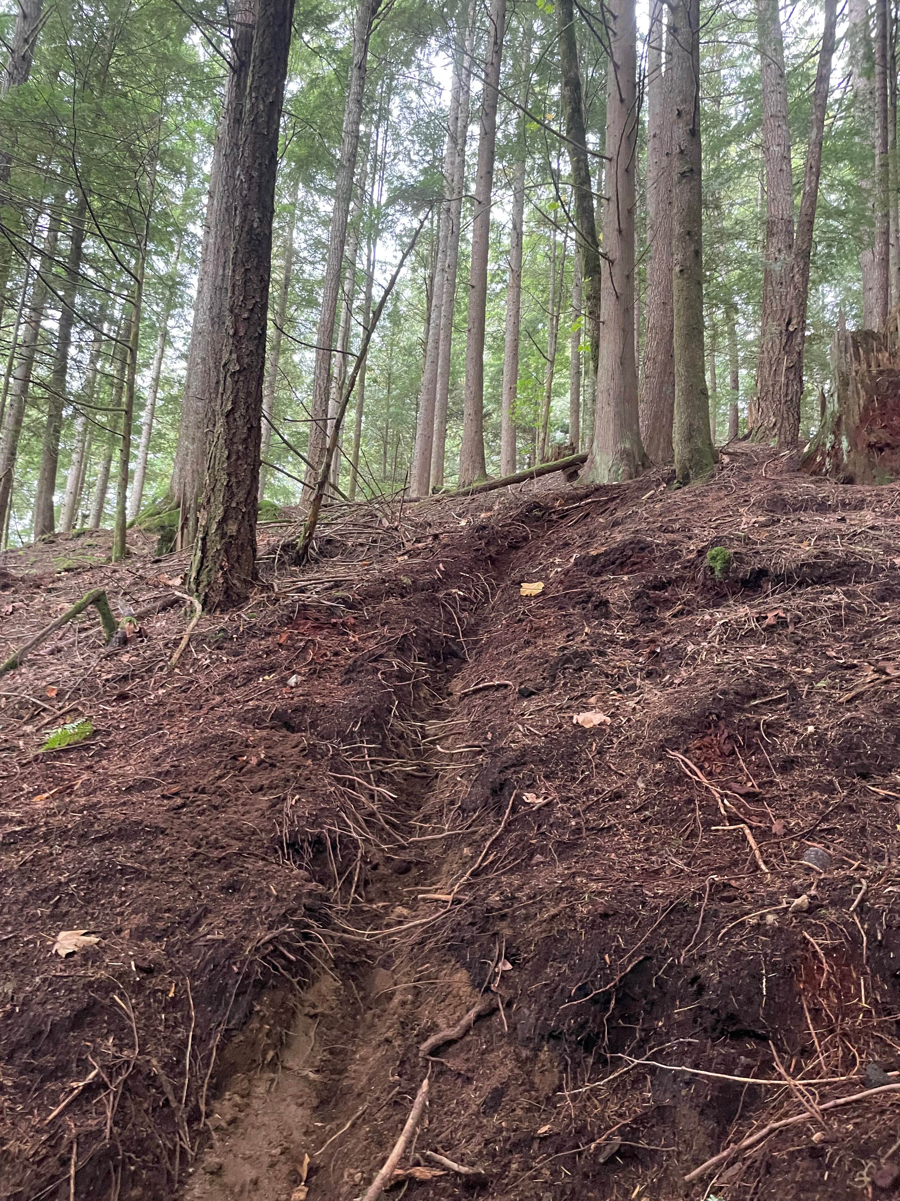
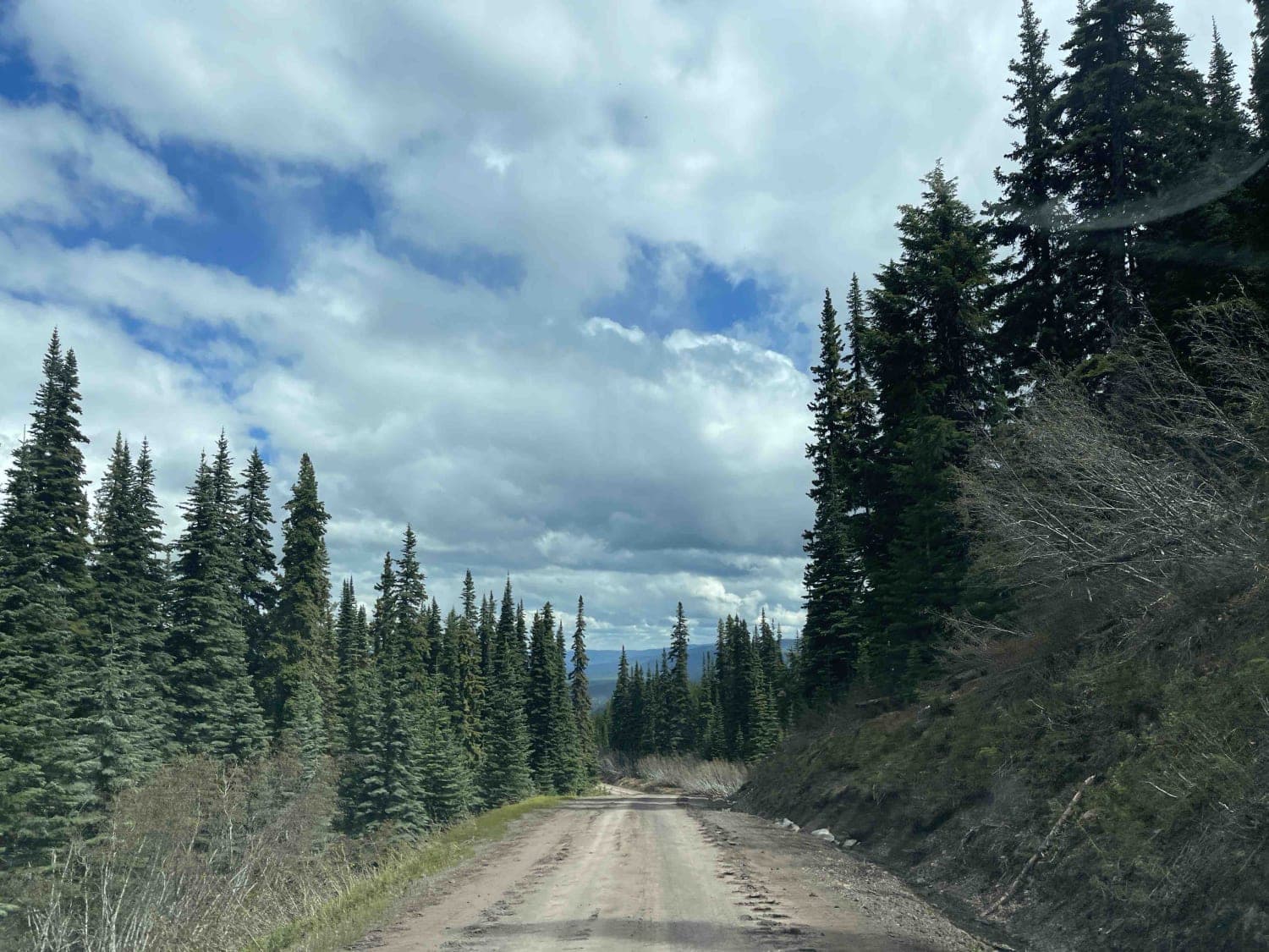
Please use RR-30 frequency to call out your location, as this is a very active logging road. The loggers really do appreciate recreators calling out and communicating to ensure all are safe. Airport FSR starts out pretty smooth, but there may be lots of mud due to spring melt. Once you turn up towards the active logging area, it turns into a mud bog! Make sure you are in a 4-wheel drive vehicle and keep a steady pace so you don't lose your momentum.
Photos of Airport to Tower

Difficulty
This trail is rated a 3 due to the mud bog in the area being actively logged. It's deep and sticky, but fun. A high-clearance vehicle with good tires and 4WD is needed.
Status Reports
Airport to Tower can be accessed by the following ride types:
- High-Clearance 4x4
- SUV
- SxS (60")
- ATV (50")
Airport to Tower Map
Popular Trails
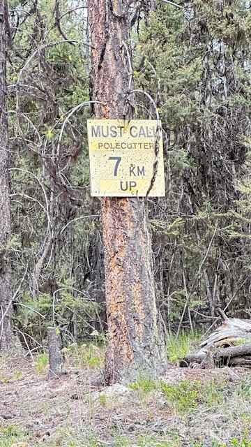
Pole Cutter FSR
Jamieson Creek Road to Spruce Wilderness Resort
Telkwa 116 Road
The onX Offroad Difference
onX Offroad combines trail photos, descriptions, difficulty ratings, width restrictions, seasonality, and more in a user-friendly interface. Available on all devices, with offline access and full compatibility with CarPlay and Android Auto. Discover what you’re missing today!