Gillard FSR to Kettle Valley Railway Trail Junction
Total Kilometers
9.1
Elevation
374.31 m
Duration
0.75 Hours
Technical Rating
Best Time
Summer, Spring, Fall, Winter
Trail Overview
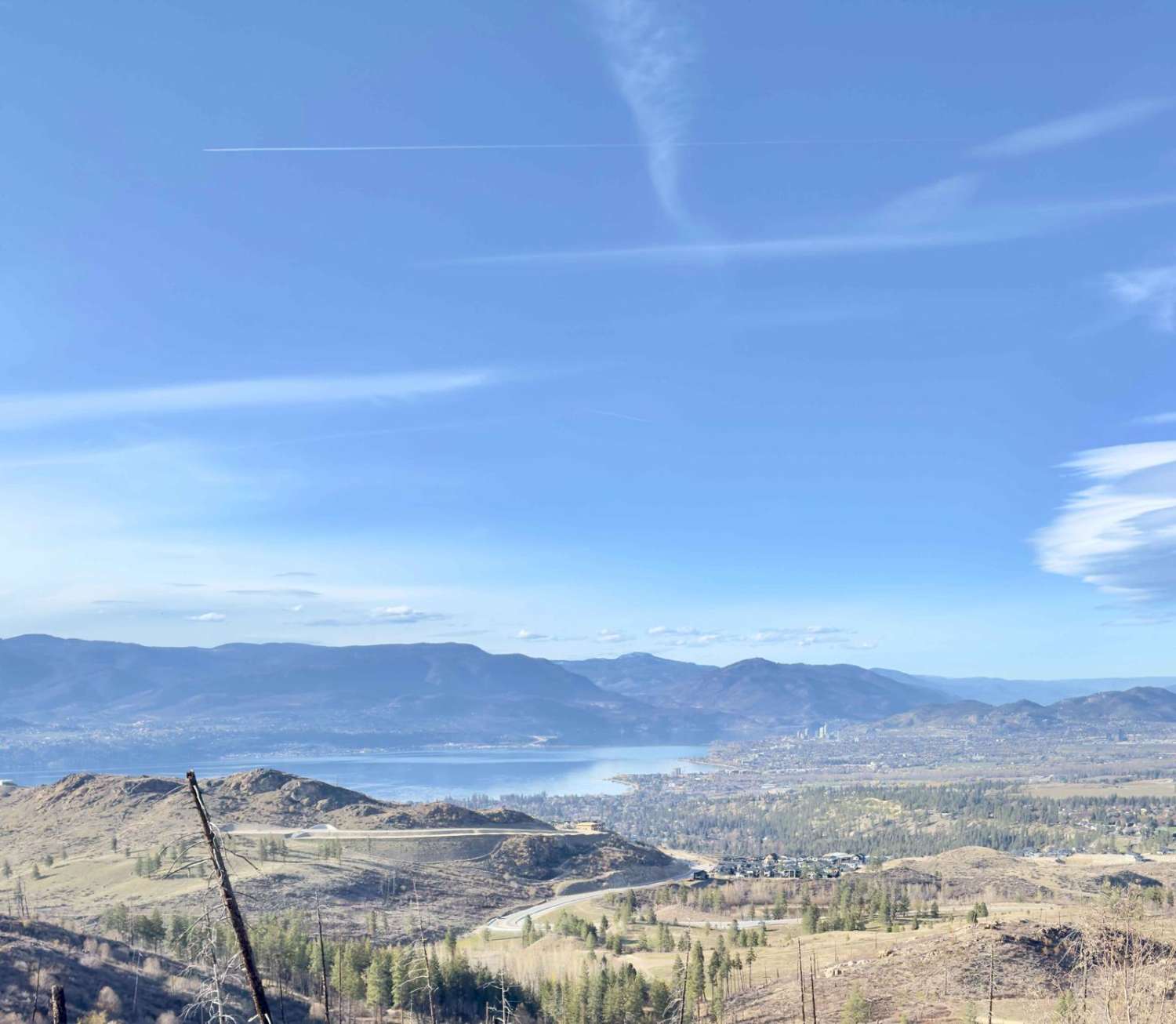
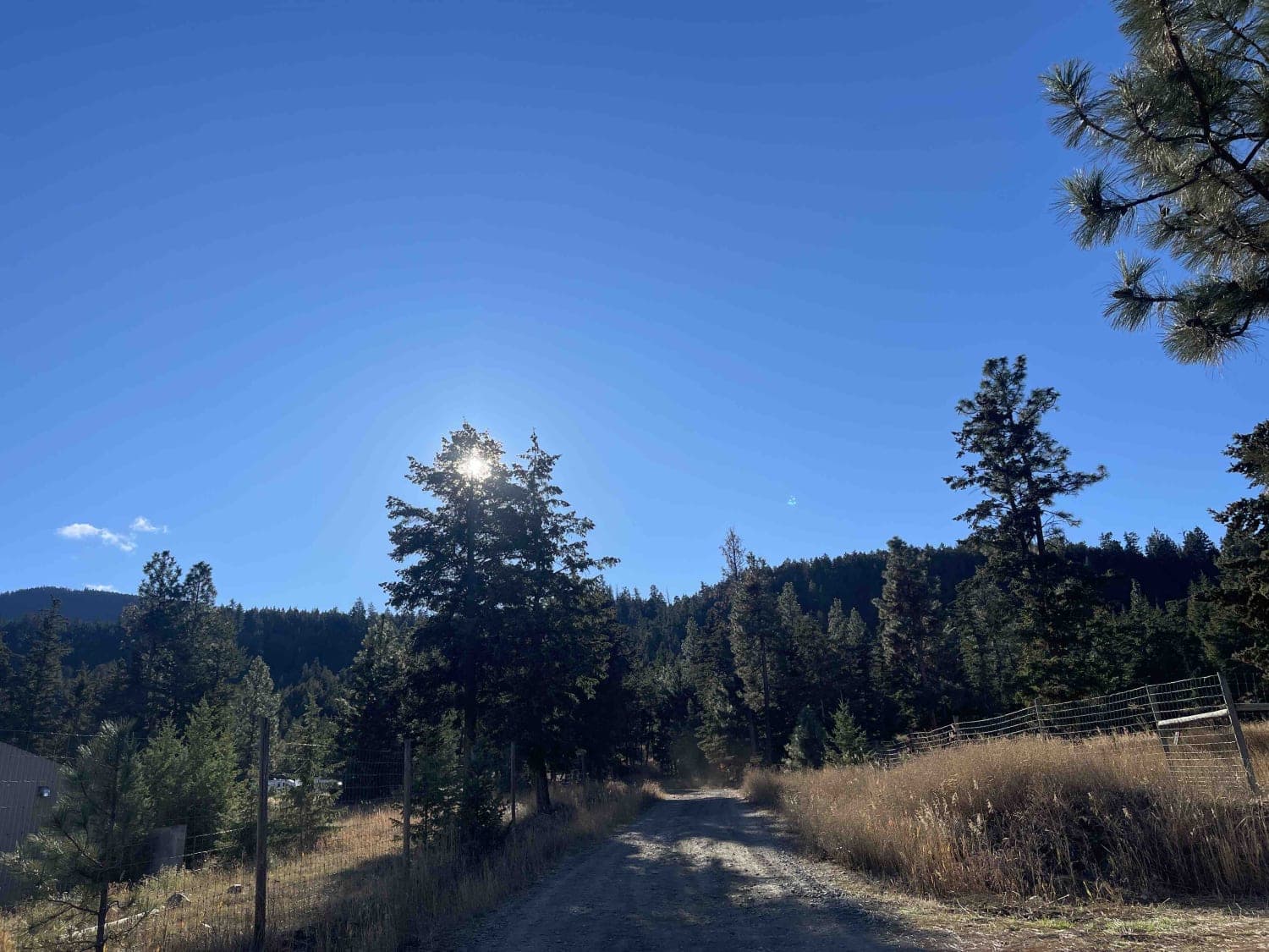
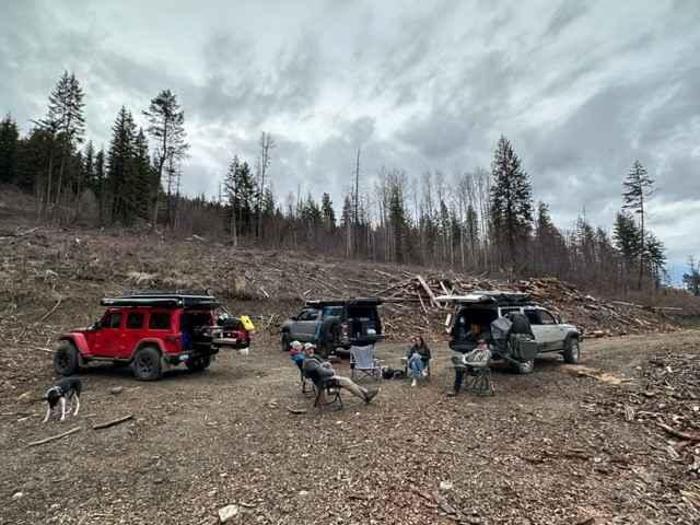
This scenic trail starts right in a residential community in Kelowna. The trail is gravel with plenty of washboarding (worth airing down), small to medium-sized potholes, and some rutted areas. It's two car widths wide and has plenty of spots to pull over if needed. The gravel trail begins to climb as soon as the trail starts, winding through dense forests (with remnants of the Kelowna Mountain Fire from 2003), with many openings worthy of stopping for views of the beautiful Okanagan Lake and the city of Kelowna (particularly in the first 3.5 kilometers). You will find dispersed camping spots throughout the trail, but be warned of all the garbage others have left behind and the possibility of nail punctures if you get too close to the firepits. The marked trail ends at the intersection with the iconic Kettle Valley Railway Trail, adding historical charm to your adventure! Please be warned that although this trail is traveled in winter, it can change in level of difficulty greatly.
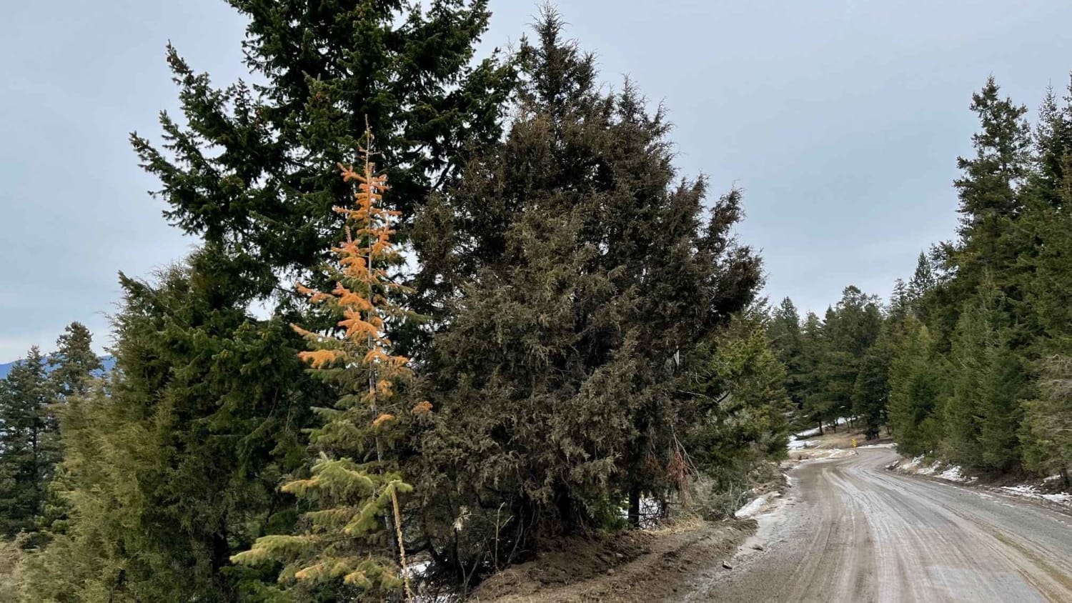
Photos of Gillard FSR to Kettle Valley Railway Trail Junction

Difficulty
Generally, this trail is a level 2, but be cautious in the winter as it goes down to 2 tracks in the snow with some extremely slippery portions.
History
Kelowna Mountain Bridges Park, a recreational destination featuring suspension bridges, waterfalls, a chairlift, a winery, etc. was built on the trail in the early 2000s. It opened in 2010 and closed in 2010 due to various legal and financial issues. You can still see remnants of the bridges, chairlift, etc. but it has been greatly vandalized. The Kettle Valley Railway served as a subsidiary of the Canadian Pacific Railway (CPR), operating in southern British Columbia. It extended from Midway westward to Rock Creek, then north to Myra Canyon, and further to Penticton, Princeton, Coalmont, Brookmere, Coquihalla, and finally connected to the main CPR line in Hope. Beginning its operations in 1915, the railway was gradually abandoned in sections starting from 1961, with the remaining stretch west of Penticton witnessing its final trains in 1989. Today, a significant portion of the railway's original path has been transformed into a multi-use recreational trail known as the Kettle Valley Rail Trail. This trail forms part of the Trans-Canada Trail network in British Columbia. The Okanagan Mountain Fire of 2003 was a devastating wildfire that swept through the Okanagan Mountain Provincial Park and surrounding areas in British Columbia, Canada. Sparked by lightning on August 16, 2003, the fire rapidly spread due to dry conditions and strong winds, consuming over 25,000 hectares of land. Thousands of residents were evacuated, and the fire destroyed over 230 homes and buildings before it was finally contained in early September. The Okanagan Mountain Fire of 2003 stands as one of the most destructive wildfires in British Columbia's history, leaving a lasting impact on the landscape and communities of the region.
Status Reports
Popular Trails
Pinaus Lake to Tuktakamin Lookout
Purgatory Glacier Lookout FSR
Butters FSR
Robbin Range Road
The onX Offroad Difference
onX Offroad combines trail photos, descriptions, difficulty ratings, width restrictions, seasonality, and more in a user-friendly interface. Available on all devices, with offline access and full compatibility with CarPlay and Android Auto. Discover what you’re missing today!