Nashwito Road
Total Kilometers
7.2
Elevation
209.36 m
Duration
--
Technical Rating
Best Time
Spring, Summer, Fall, Winter
Trail Overview
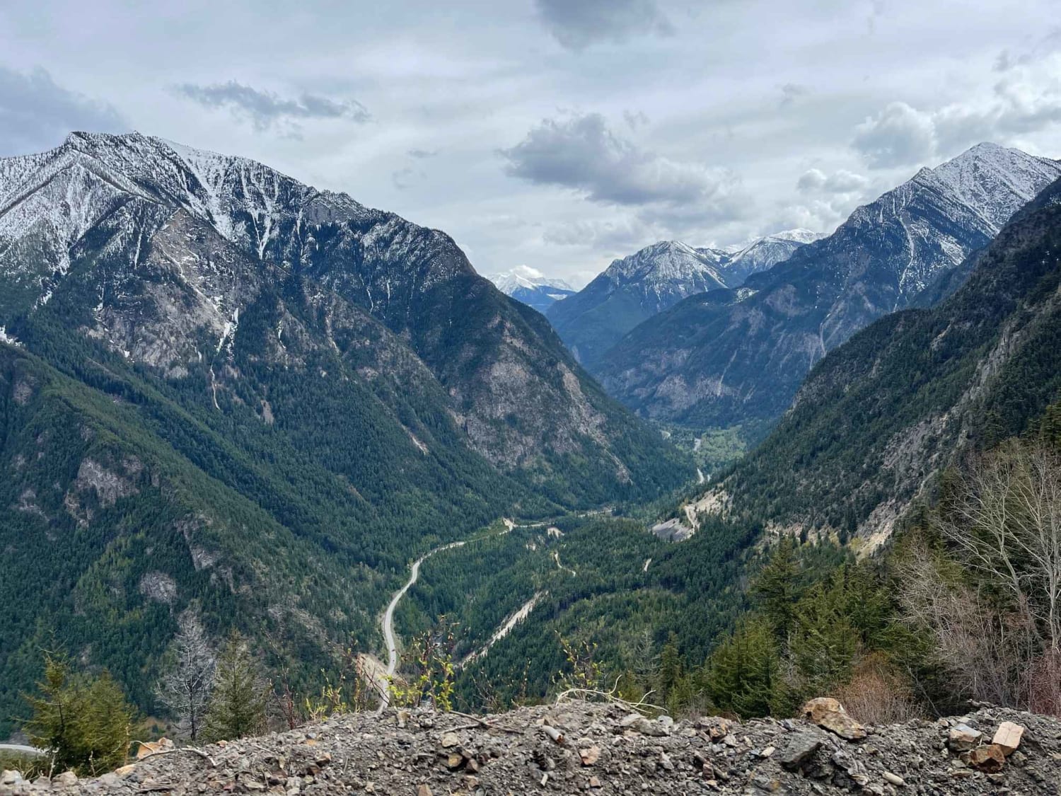
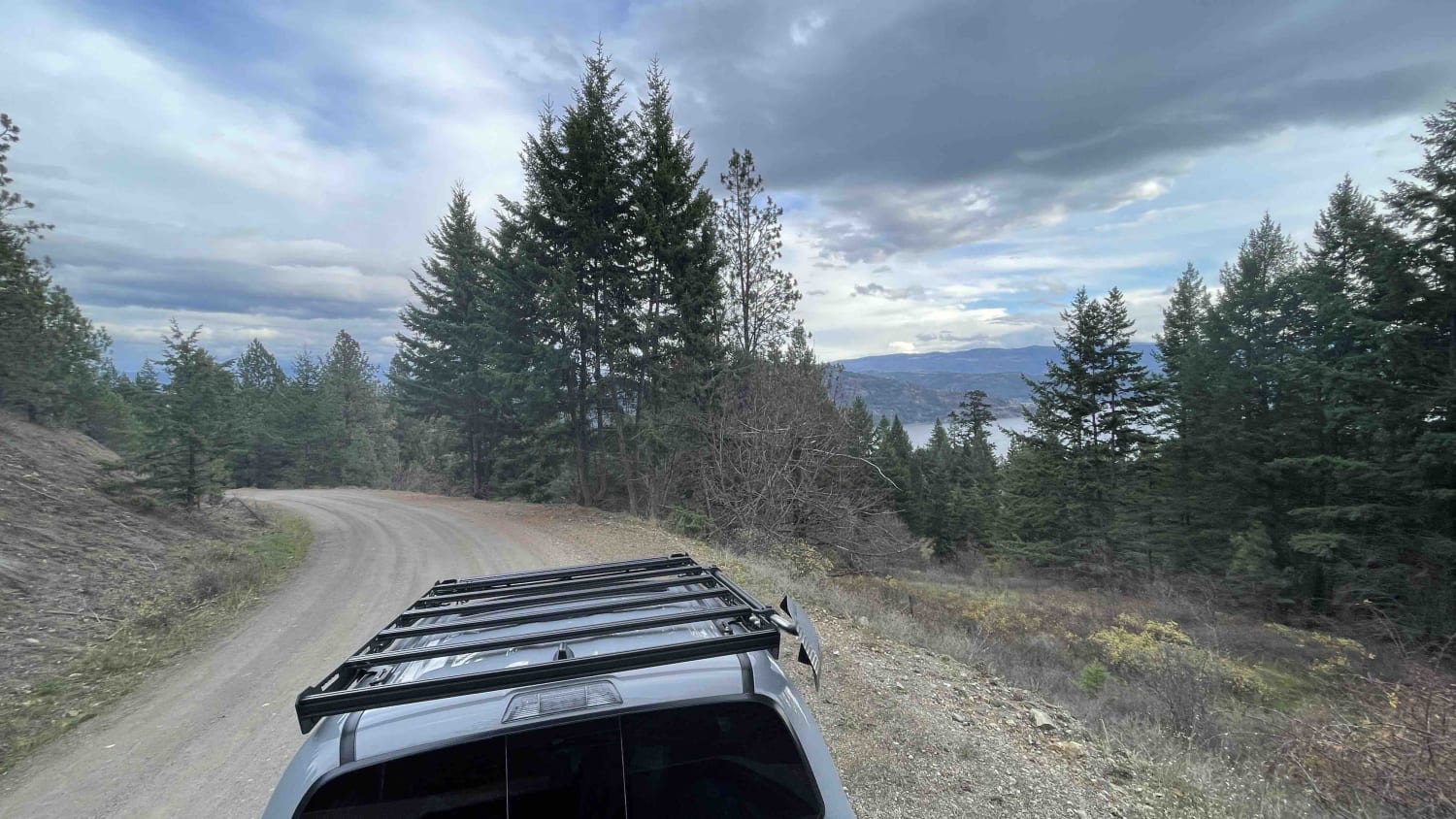
Nashwito Road is primarily for access to First Nation and Ranchlands. There are a number of "off-road" sections where you can tear through the brush and go wheeling in the mud. However, you need to be cautious as there are private property signs marking a lot of the offshoots. There are some beautiful views of Okanagan Lake along the way where you can stop and take in the scenery. Also, there are a few small cutouts for camping potentially as well with a birds-eye view of the lake below.
Photos of Nashwito Road
Difficulty
Road is well maintained and in good shape for what seems to be all year arouns due to the access to ranchers and properties on the reserve.
Status Reports
Popular Trails

Airport to Tower

Seton Ridge Road

West Harrison to 20 Mile Bay
The onX Offroad Difference
onX Offroad combines trail photos, descriptions, difficulty ratings, width restrictions, seasonality, and more in a user-friendly interface. Available on all devices, with offline access and full compatibility with CarPlay and Android Auto. Discover what you’re missing today!


