Pend-d'Oreille River
Total Kilometers
18.4
Technical Rating
Best Time
Spring, Summer, Fall
Trail Type
Full-Width Road
Accessible By
Trail Overview
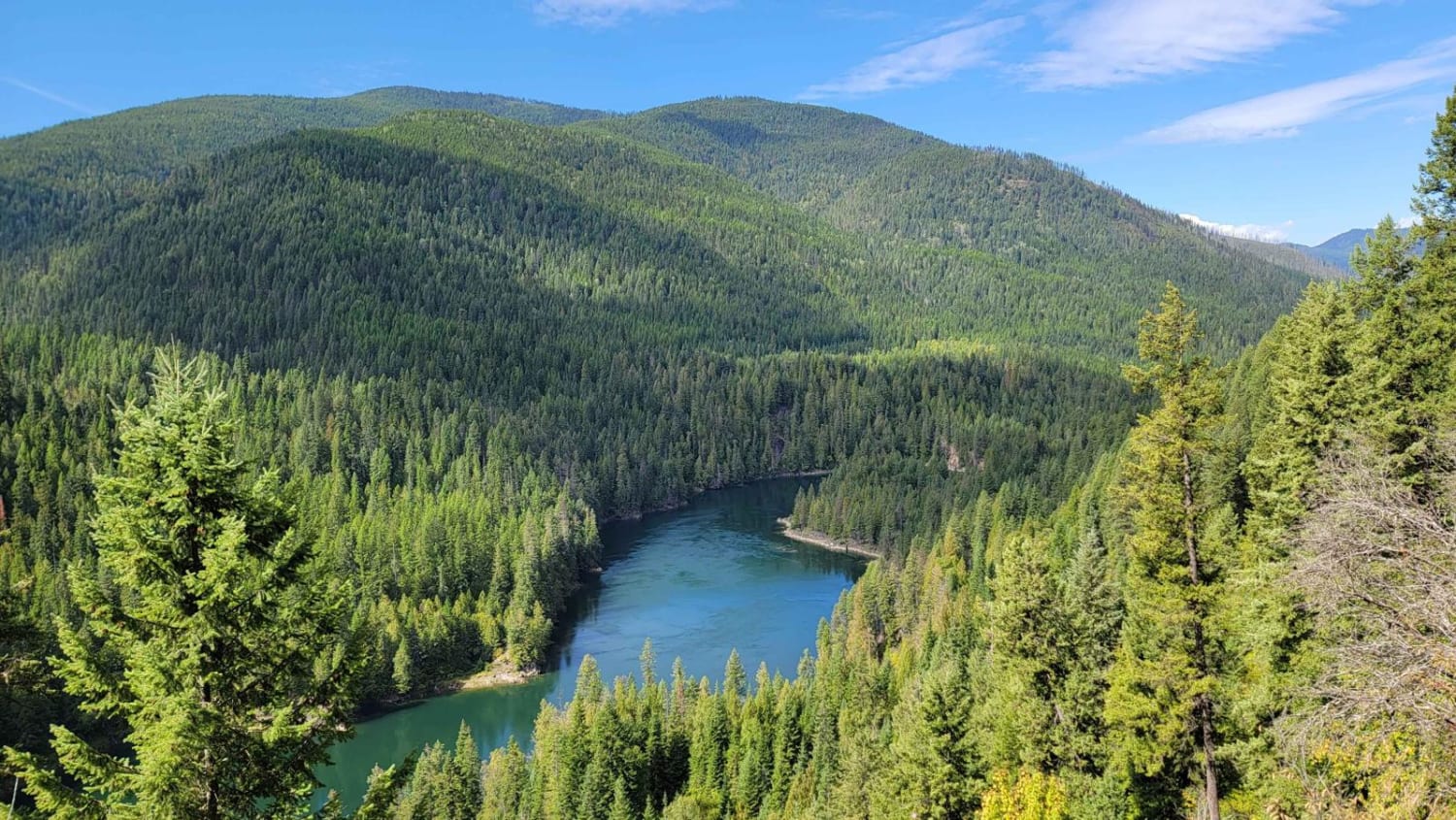
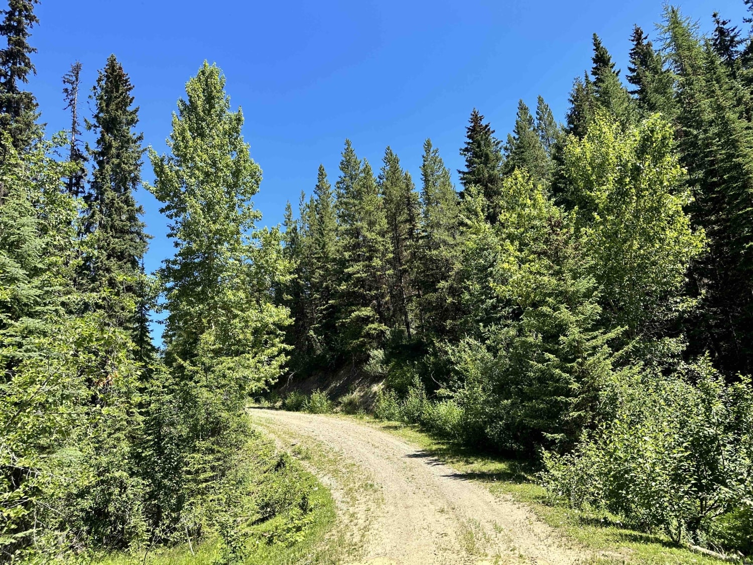
Starting close to the Nelway (Canada/USA Border crossing) down a gravel/dirt road, the trail follows along the Pend-d'Oreille River with a few single-wide blind corners with big drops off the side. There are a few sections with fallen trees and rock slides. The views are amazing, with many spur roads and stops along the river. This trail will take you to the Seven Mile Dam.
Photos of Pend-d'Oreille River
Difficulty
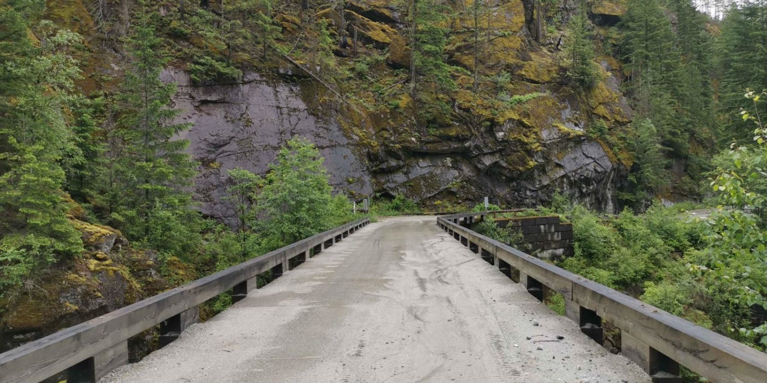
There's a large drop-off on some sections and some areas are only single-wide. There are also a few fallen rock sections.
Status Reports
Popular Trails
East Harrison to Boston Bar via Nahatlach
Toy Run Loop

Mitten Mainline
The onX Offroad Difference
onX Offroad combines trail photos, descriptions, difficulty ratings, width restrictions, seasonality, and more in a user-friendly interface. Available on all devices, with offline access and full compatibility with CarPlay and Android Auto. Discover what you’re missing today!
