St Mary's FSR
Total Kilometers
21.8
Elevation
412.91 m
Duration
1 Hours
Technical Rating
Best Time
Summer
Trail Overview
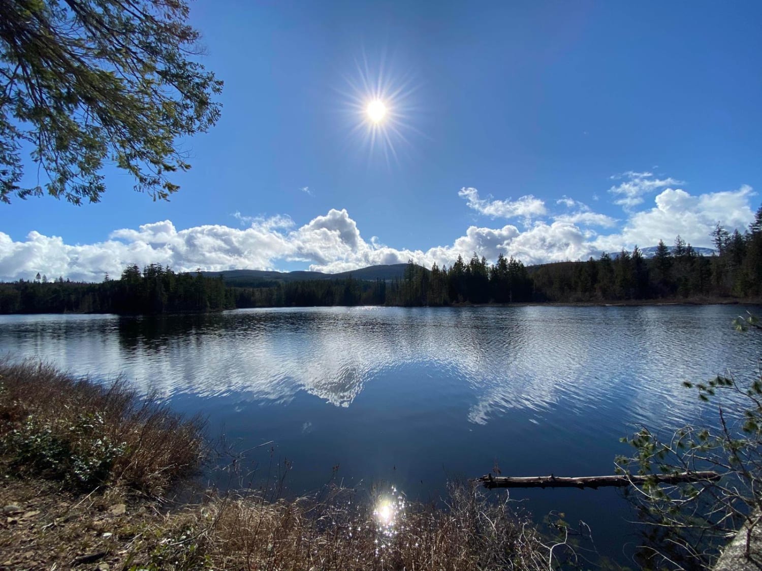
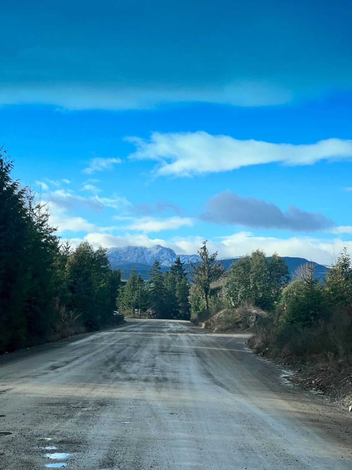
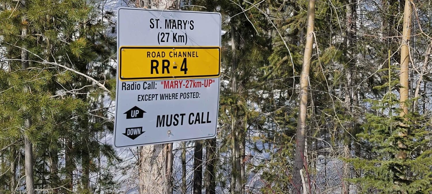
Starting marker 27km on the St Mary's Forest Service Road, you start by traveling alongside St Mary lake which has a recreation site to stop at, also with a few pullouts around the lake. Following the FSR you will come across a few spur roads which lead to some great trails such as the Grey Creek Pass (Closed in the winter). You follow the St Mary River at the bottom of the valley with mountains on either side. The road is well maintained but expect ruts and fallen rock in some sections. there is active logging in the area along with a few rockslide and avalanche sections. The end of this trail will lead you to a crossroad where you can take either road for more adventures.
Photos of St Mary's FSR
Difficulty
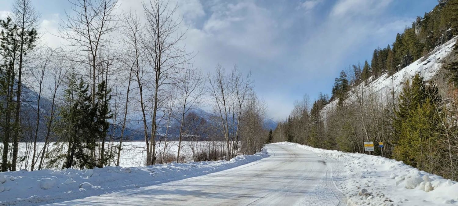
A lot of snow in the winter months depends if there is logging will determine how far you will get access, 4x4 in the winter is recommended. Watch for big fallen rocks or sudden avalanches.
Status Reports
Popular Trails

Boomerang Lake From 155 Main

155 Main

Al Donaldson Trail
The onX Offroad Difference
onX Offroad combines trail photos, descriptions, difficulty ratings, width restrictions, seasonality, and more in a user-friendly interface. Available on all devices, with offline access and full compatibility with CarPlay and Android Auto. Discover what you’re missing today!

