Sterling Forest Service Road
Total Kilometers
6.4
Technical Rating
Best Time
Spring, Summer, Fall, Winter
Trail Type
Full-Width Road
Accessible By
Trail Overview
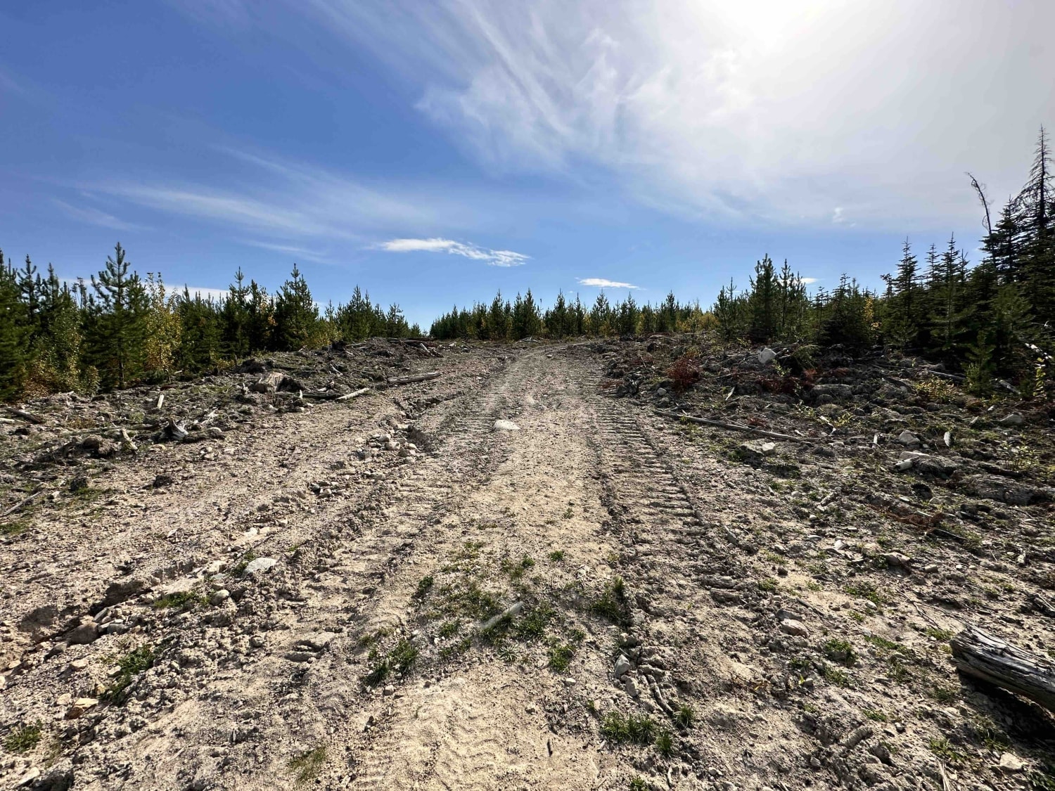
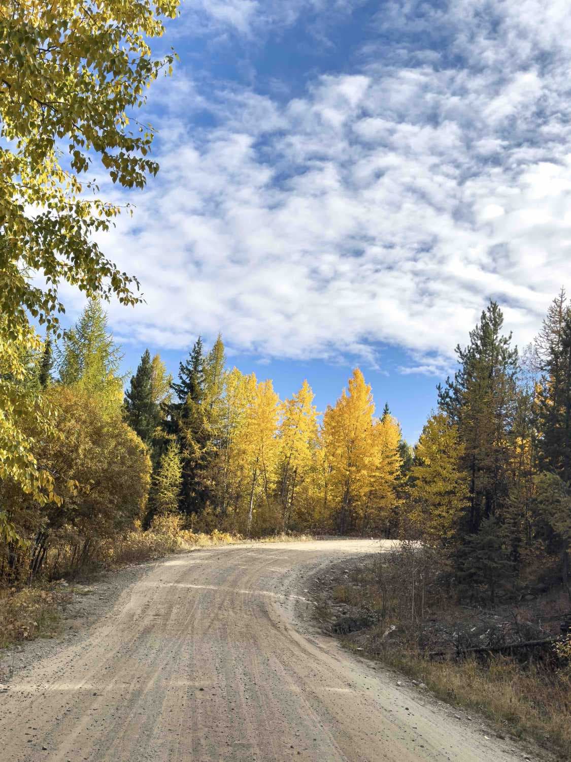
The Sterling Forest Service Road is a spur off the main Jamieson route. The road is narrower and has sections that are starting to become overgrown. It once served as an access point for a cut block used for logging, which has since been deactivated. While the road does not provide access to the lake, it does offer a beautiful view of Bonaparte Lake. Additionally, there are sections where grass is growing on the tracks. In wet conditions, it could become slippery, but overall, the road is fairly flat with minimal rutting or washboard spots.
Photos of Sterling Forest Service Road
Difficulty
The road is in good shape as of February 2024. There are spots where it narrows due to the trees and brush starting to creep into the track after lack of maintenance over the years.
Status Reports
Sterling Forest Service Road can be accessed by the following ride types:
- High-Clearance 4x4
- SUV
- SxS (60")
- ATV (50")
- Dirt Bike
Sterling Forest Service Road Map
Popular Trails
155 Main
The Climbs - Holiday Hill Connector
Tsilhqox Biny - Ts'il?os Provincial Park
Gillard FSR Part 2
The onX Offroad Difference
onX Offroad combines trail photos, descriptions, difficulty ratings, width restrictions, seasonality, and more in a user-friendly interface. Available on all devices, with offline access and full compatibility with CarPlay and Android Auto. Discover what you’re missing today!

