Pylon Pioneer
Total Kilometers
5.8
Technical Rating
Best Time
Summer
Trail Type
High-Clearance 4x4 Trail
Accessible By
Trail Overview
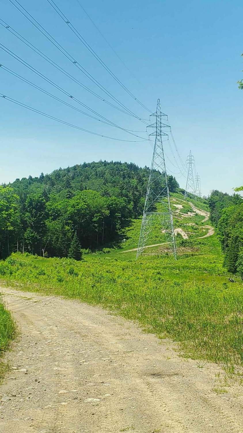
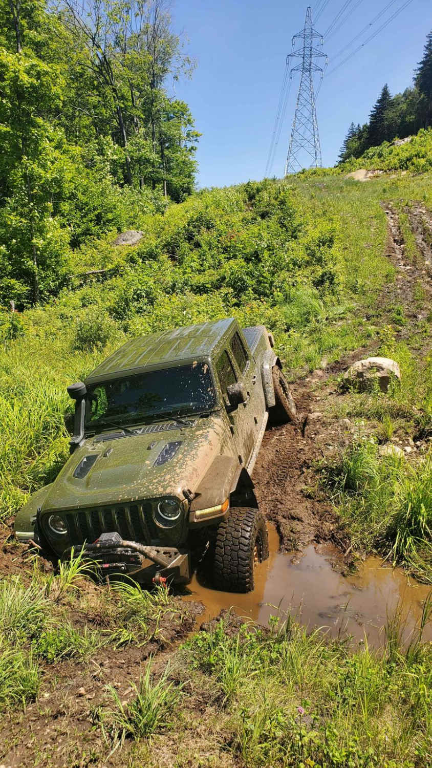
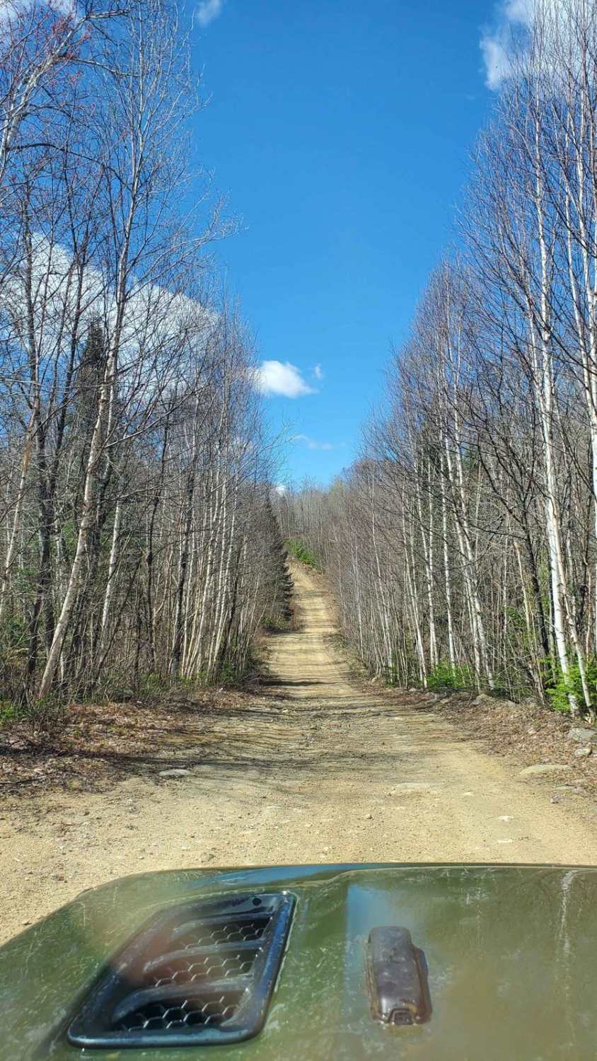
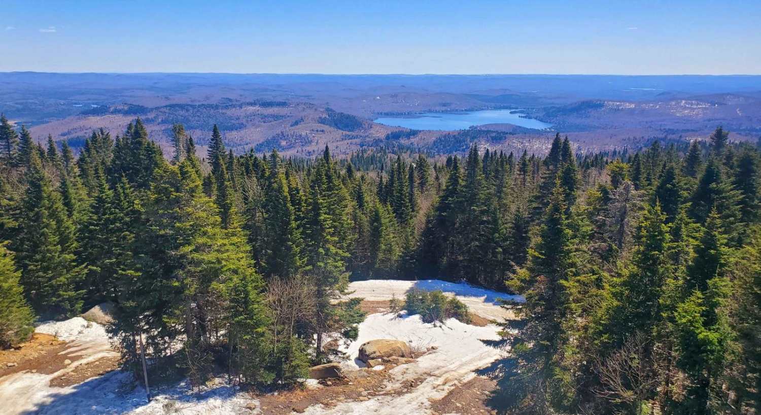
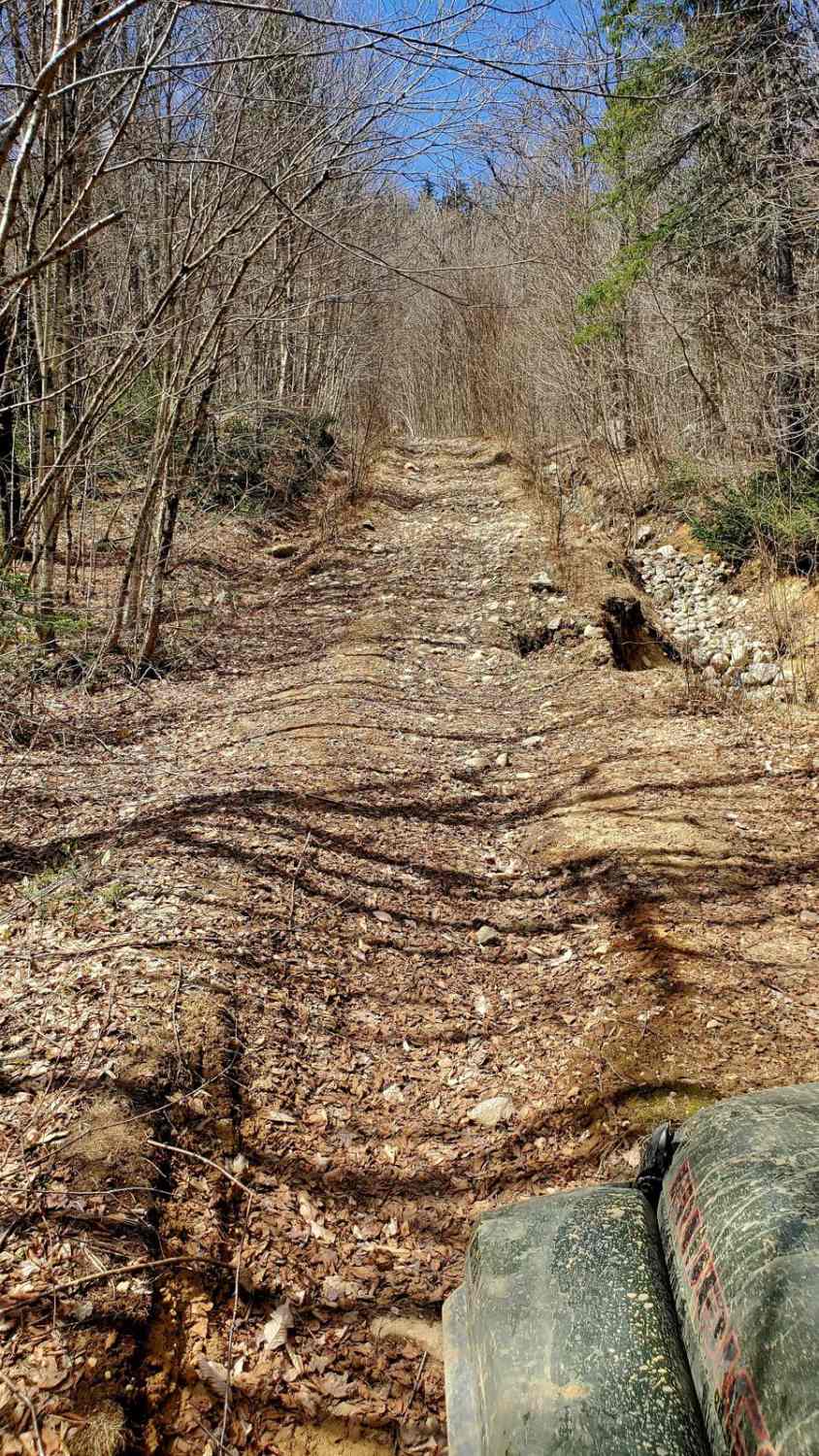
This is an advanced route due to challenging terrain, plan 1.5 hours one way. We recommend beginning your adventure near Lake Berval. You'll follow the path alongside the electric tower, which offers some excellent scenic views. Expect to encounter 20 to 25 rocky inclines, loose rocks, and mud holes along the way. Cell phone reception is reliable throughout the journey. About halfway through the trail, you'll face a muddy ditch, which will be the most difficult obstacle to navigate. Make sure to plan an exit strategy before attempting to cross in case you get stuck and turn back if unsure. For those looking to extend their journey, you can return to the starting point via the Twin Rivers trail, which runs parallel to this one. Vehicles equipped with 35' tires and at least 10' of clearance are recommended. Additionally, lockers will be necessary for some parts of the ascent.
Photos of Pylon Pioneer
Difficulty
Steep rocky ascent. Deep trenches and mud holes to cross.
Status Reports
Pylon Pioneer can be accessed by the following ride types:
- High-Clearance 4x4
- SxS (60")
- ATV (50")
Pylon Pioneer Map
Popular Trails
Montagne Noire
BAJA and 14B
The onX Offroad Difference
onX Offroad combines trail photos, descriptions, difficulty ratings, width restrictions, seasonality, and more in a user-friendly interface. Available on all devices, with offline access and full compatibility with CarPlay and Android Auto. Discover what you’re missing today!
