Twin Lakes
Total Kilometers
7.8
Elevation
109.28 m
Duration
1 Hours
Technical Rating
Best Time
Summer
Trail Overview
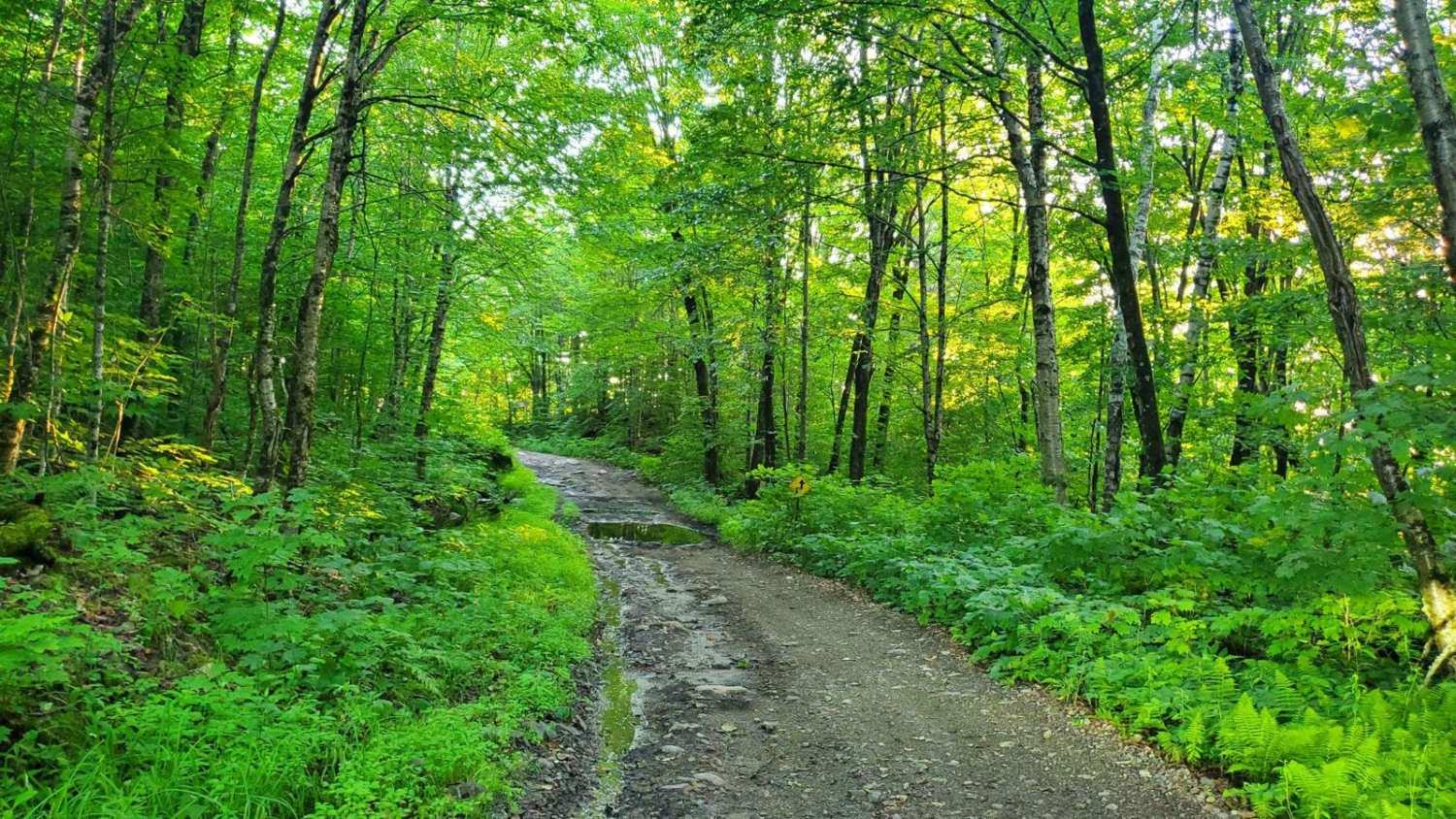
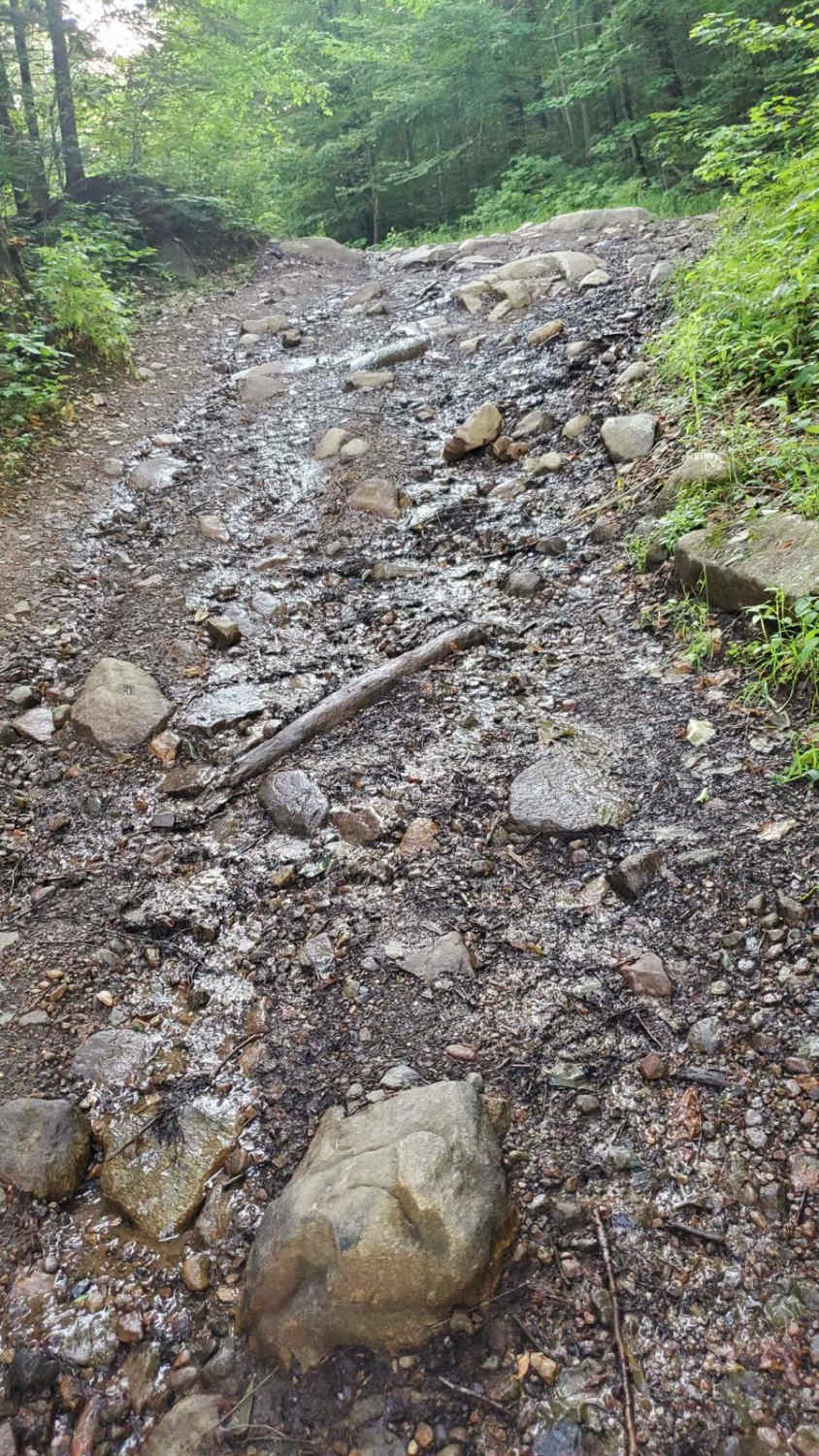
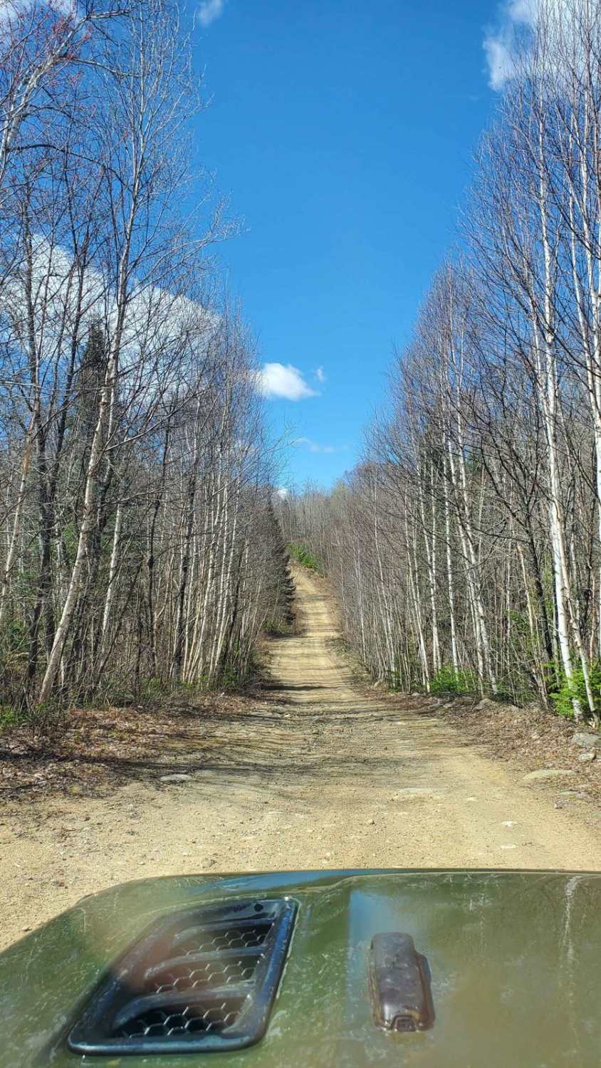
This intermediate route is estimated as a 1-way trip taking roughly 1 hour. We highly recommend starting your adventure near Lake Baerval for optimal navigation. Part of the Jackrabbit Ecological Reserve offers scenic beauty with small waterfalls, creeks, lakes, and picturesque rocky slopes. The trail travels along roads maintained by Pourvoirie du Lac Berval Outfitter. It consists of mostly single-lane gravel road (approximately 2/3 of the journey). Be prepared for challenging obstacles exceeding 12 inches in height. These can often be bypassed with careful navigation. There is limited cell phone reception throughout the route. Caution: Deep mud holes exceeding 30 inches are present near the end of the route, particularly under the power lines. These hazards can be impassable for vehicles and require extreme caution. Turn back if you feel unsafe. Tires with a minimum diameter of 31 inches and at least 9 inches of ground clearance are strongly advised.
Photos of Twin Lakes
Difficulty
The road is primarily gravel but be prepared for challenges. Expect obstacles up to 12 inches high. Careful navigation can often help you avoid these entirely. +30' mud holes under power lines could be challenging.
Popular Trails
Chemin Mont des Cenelles to the Top
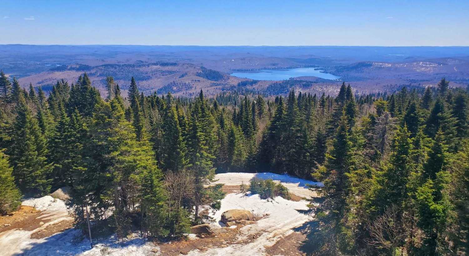
Montagne Noire
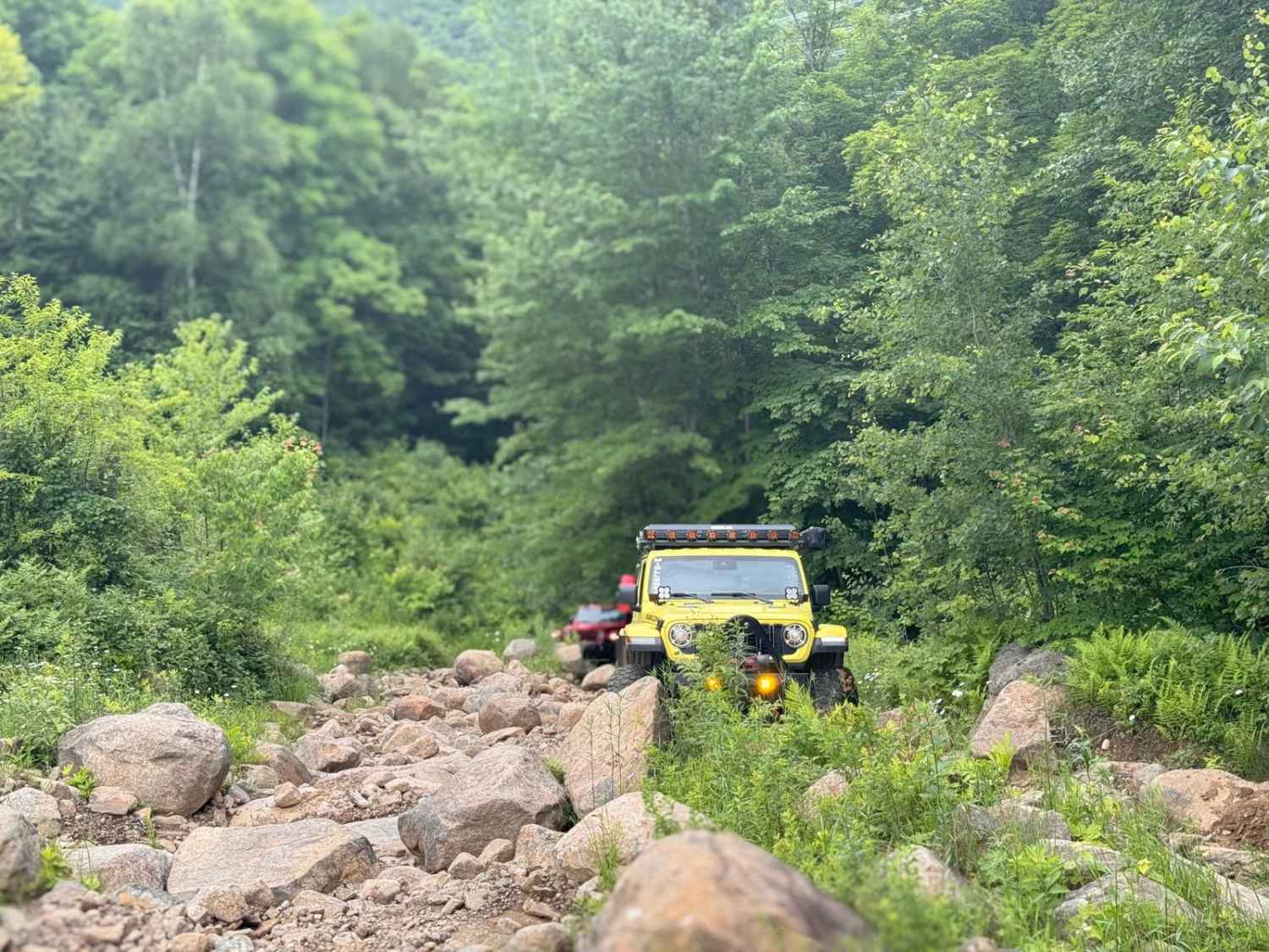
L'Escalier "Stairway"
The onX Offroad Difference
onX Offroad combines trail photos, descriptions, difficulty ratings, width restrictions, seasonality, and more in a user-friendly interface. Available on all devices, with offline access and full compatibility with CarPlay and Android Auto. Discover what you’re missing today!
