Wild Bill Truman Creek Trail
Total Miles
5.6
Technical Rating
Best Time
Spring, Summer
Trail Type
High-Clearance 4x4 Trail
Accessible By
Trail Overview
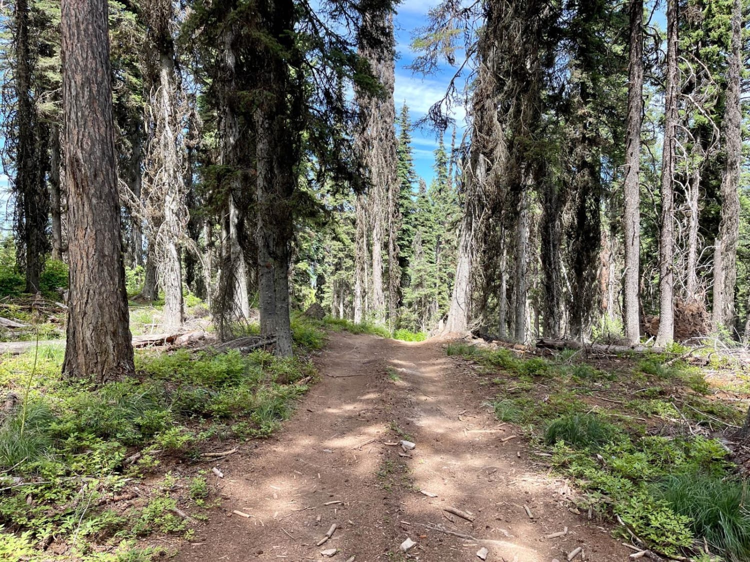
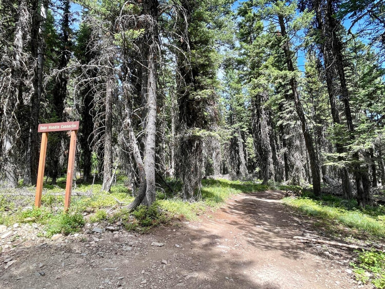
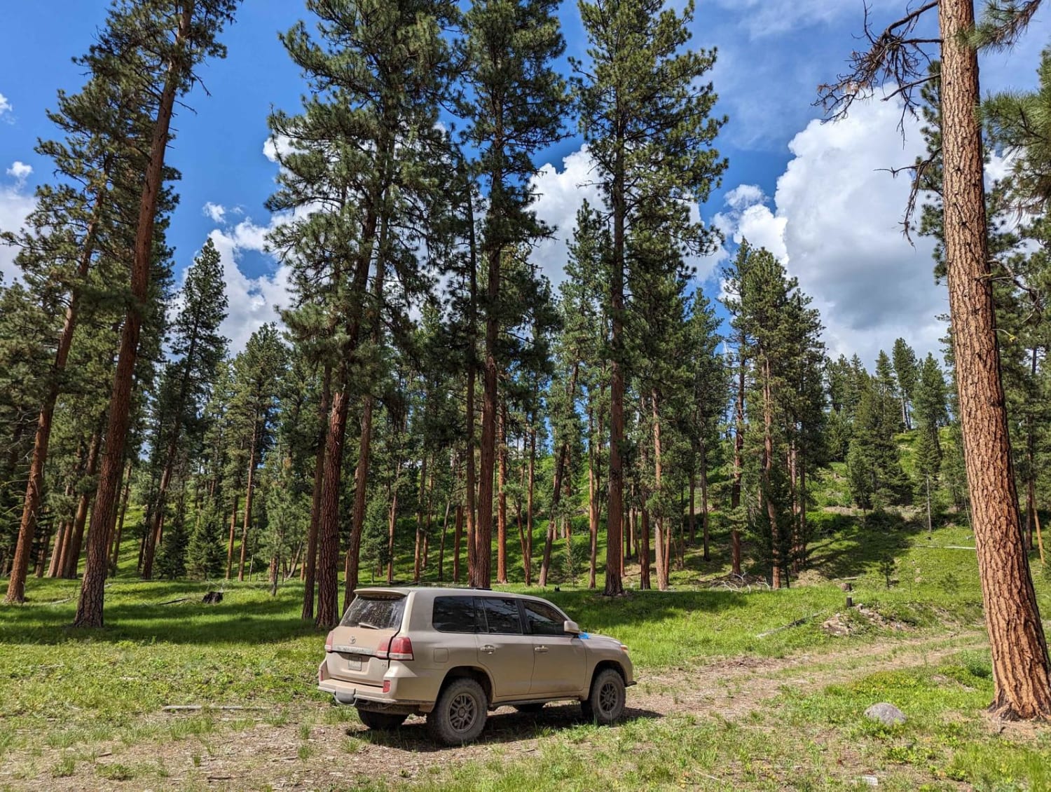
This is one of the featured trails in the middle of the Wild Bill OHV Trail network. It is very narrow, weaving through trees and up and down long, loose hill sections. It's barely one vehicle wide, with few pullouts for oncoming vehicles, and is not recommended for larger full-size vehicles. Some tree sections are so narrow that larger and longer vehicles will require a spotter and possibly reversing to get through. The trail can be run in either direction. To get the most out of the Bobsled section, running it from south to north is recommended. The forest is beautiful and dense near the beginning of the southern entrance and thins a little in the middle. Springtime brings striking flower blooms and lush green bushes later in the summer. The Truman Connector does not appear on the Wild Bill OHV map but is another way back to the Wild Bill Eagle Mountain to The Playground Trail. At the Truman Connector, the trail opens to a fantastic view of the surrounding hills before returning to the trees again for a bit. Keep an eye out for the Bobsled Connector, as it is the continuation of the main trail, even though the trail appears to continue around past this point. This route has a set of narrow gatekeeper trees. This is one of the points a full-size longer vehicle will need a good spotter and a great line choice for. A compact SXS or ATV will have no difficulties getting through. The trail is more technical from here, with steep rises and drops. The actual bobsled shoot is a straight-down and loose descent and deserves the name. Remember that traveling south to north, you will descend the shoot; traveling north to south will be a steep loose climb and exciting if wet or icy. Past this, the trail becomes smooth and easy through a lovely forest while continuing north. The following connector route is the Hill Climb Connector, which also runs back to the Wild Bill Eagle Mountain Trail. The final leg of the trail at the northern section makes a sharp turn south and climbs a steep and narrow route into the trees and up the ridgeline. Once up there, it becomes narrow for full-size longer rigs with tight offset trees. The final leg climbs a steep off-camber hill with more narrow trees and sharp rocks. The northern section of the route ends at the Playground-an excellent area to challenge even the beefiest of rock crawlers. There is a bypass for lesser-equipped rigs. Compared to other trails in the area, this one does not have the fun off-roading offshoots. There are a few bars of 5G at the very top, but none for most of the trail.
Photos of Wild Bill Truman Creek Trail
Difficulty
This is a narrow wooded trail with tight staggered sections of trees. There are steep and loose hill climbs in both directions of travel and few areas to pull off for oncoming traffic. The trail system is open in wintertime but deep snow makes the trail much more challenging. There is no winter maintenance. The summer and fall months can be dry, so expect dusty trail conditions.
History
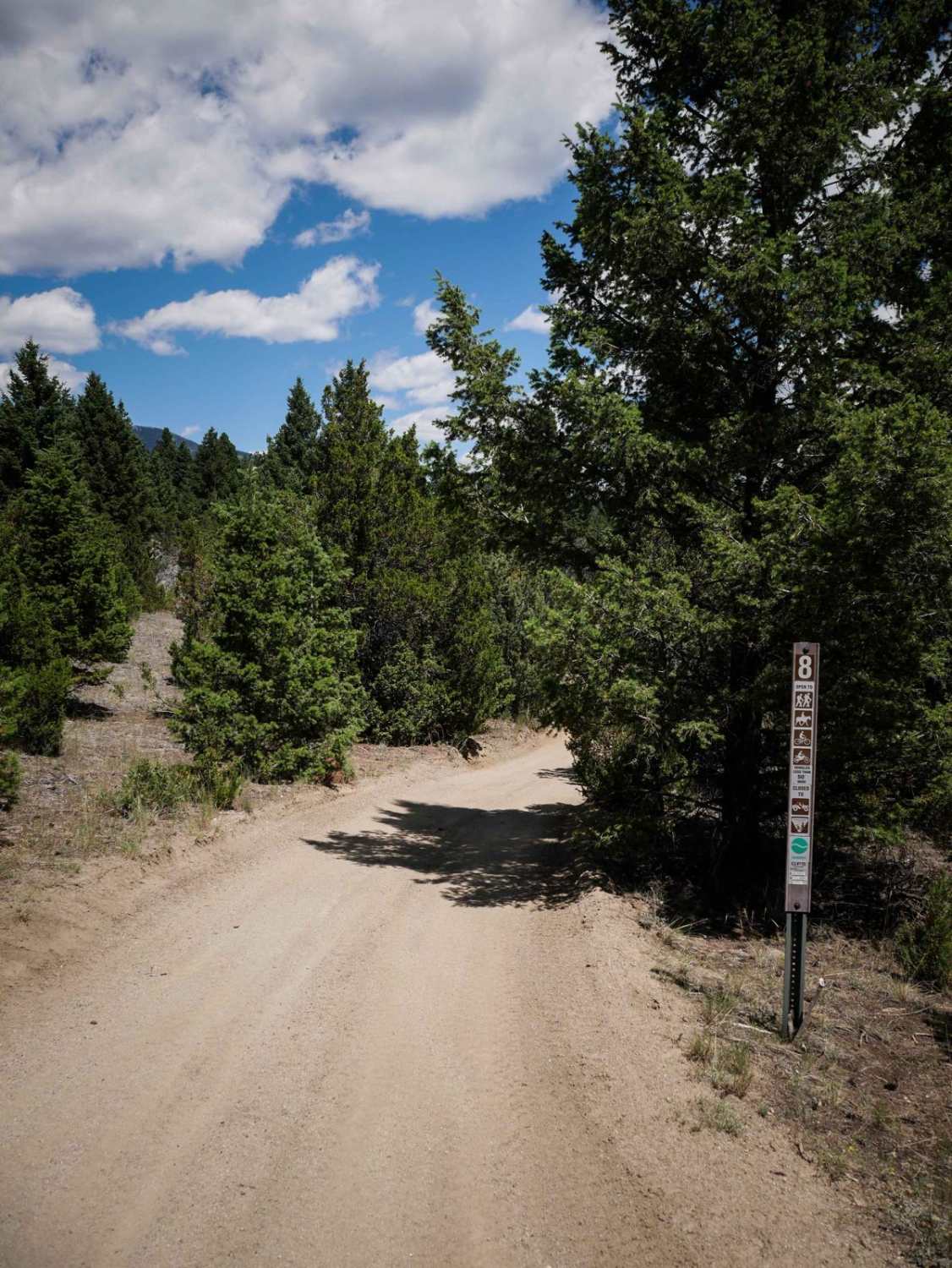
The Blacktail Wild Bill OHV trail was designated a National OHV trail in 1979. Over the years, two local clubs (Skyliners and Big Sky 4 Wheelers) have maintained the trail and built challenging features. The clubs have work weekends where they clean trash and do maintenance on the trail. In 2018 and 2019, Big Sky 4 Wheelers worked with the Forest Service to build and install kiosks on the trail to identify trail routes.
Status Reports
Popular Trails
Cold Springs Road
Gold Creek Trail 126 (Seasonal Access)

Inspiration Divide
The onX Offroad Difference
onX Offroad combines trail photos, descriptions, difficulty ratings, width restrictions, seasonality, and more in a user-friendly interface. Available on all devices, with offline access and full compatibility with CarPlay and Android Auto. Discover what you’re missing today!
