West Crest
Total Miles
6.5
Elevation
2,106.91 ft
Duration
3 Hours
Technical Rating
Best Time
Summer, Fall
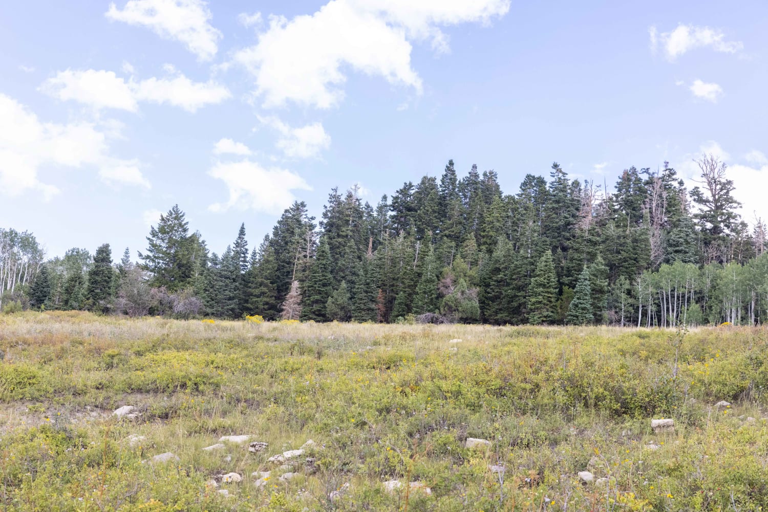
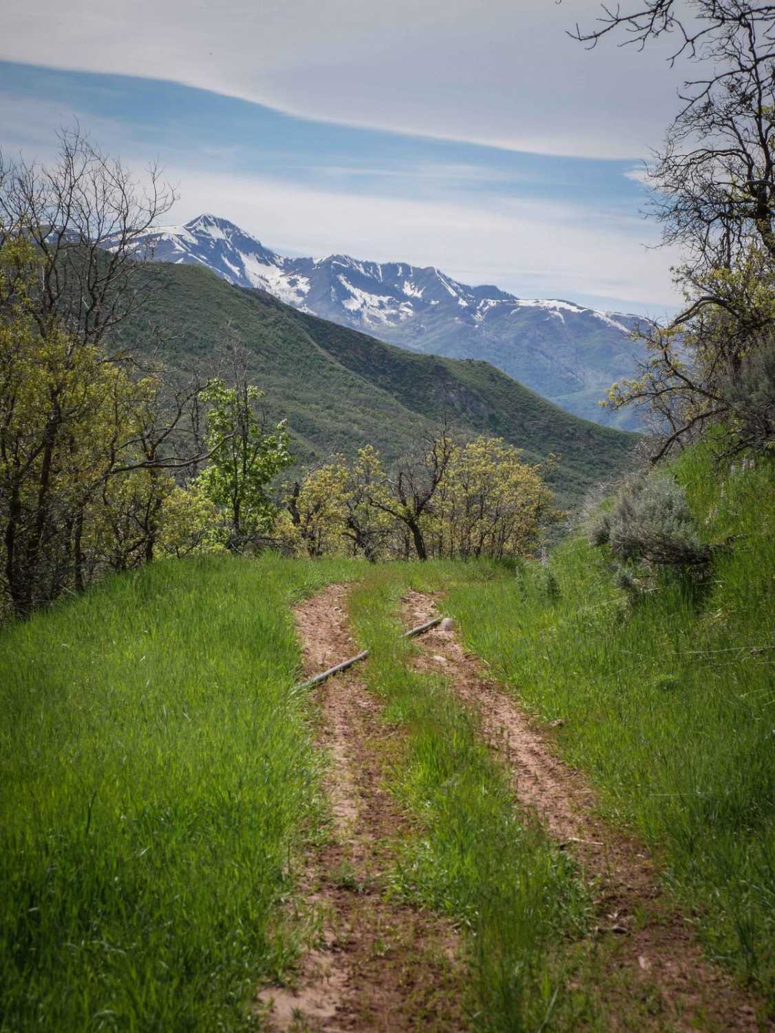
Trail Overview
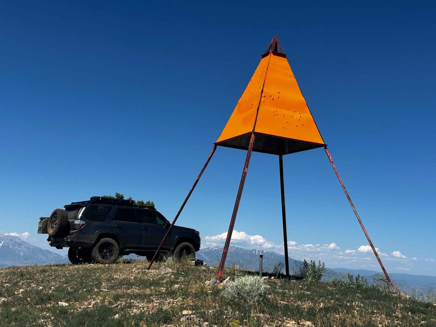
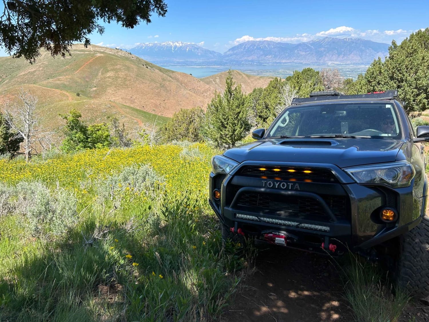
The West Crest trail runs along the spine of West Mountain in southern Utah County. Hypothetically it can be done fully from the north to south (or vice versa) without having to do an out and back. Having tried this from various directions, logistically it is difficult to do due to a very steep section covered in shale on the more southern end of the trail. If you run this from north to south, the first section can be done either via a very well-graded dirt road that meanders back and forth up the side of the mountain, or a much more direct, steep, deep-rutted route with boulders ranging from fist size to garbage can sized. The route mapped here is the latter. The trail will take you to the "West Mountain Tower" as well as the observation station at the summit. Continuing past the tower you begin to drop down the saddle before approaching a steep climb up the other side which is Y's. Either side of the Y ends in the same locale and each poses its own individual challenges. Continuing along this second ridge you then approach a section of the mountain that is very much more green and wooded than the rest. Hit it at the right time and you'll see beautiful wildflowers. The climb into this wooded area is quite steep, off-camber, and with some decent obstacles. You can likely do it solo, but having a spotter outside of the rig will certainly relieve the anxiety. After climbing above the tree line you will see a large, metal orange triangle structure. This is the geodetic survey station for West Mountain. After taking in some amazing 360-degree views you can continue down the other side which will bring you to a small saddle before another climb. Coming to the top of this climb you can see where the trail becomes much more indistinct as it descends down the other side. This is very steep and covered in unstable shale. This was the point that we turned back and doubled our way back north. Hypothetically you can continue down this side of the mountain and after two more saddles and two more summits, drop down the east side of the mountain and come out just above the Payson landfill. The shale descent would be very difficult in a full-size rig, SxS, and sketchy on a dirt bike. Overall the trail is very challenging and very fun. Your reward will be amazing views off either side of the mountain the whole time.
Photos of West Crest
Difficulty
This trail has very steep, off-camber sections and large boulder sections.
Status Reports
Popular Trails
Sevier River Access (BM6241)
Dougway Geode Beds Raptor Run
Dandelion Flat
Long Hollow ATV
The onX Offroad Difference
onX Offroad combines trail photos, descriptions, difficulty ratings, width restrictions, seasonality, and more in a user-friendly interface. Available on all devices, with offline access and full compatibility with CarPlay and Android Auto. Discover what you’re missing today!