Cedar Run Ridge
Total Miles
13.1
Technical Rating
Best Time
Fall, Summer, Spring
Trail Type
Full-Width Road
Accessible By
Trail Overview
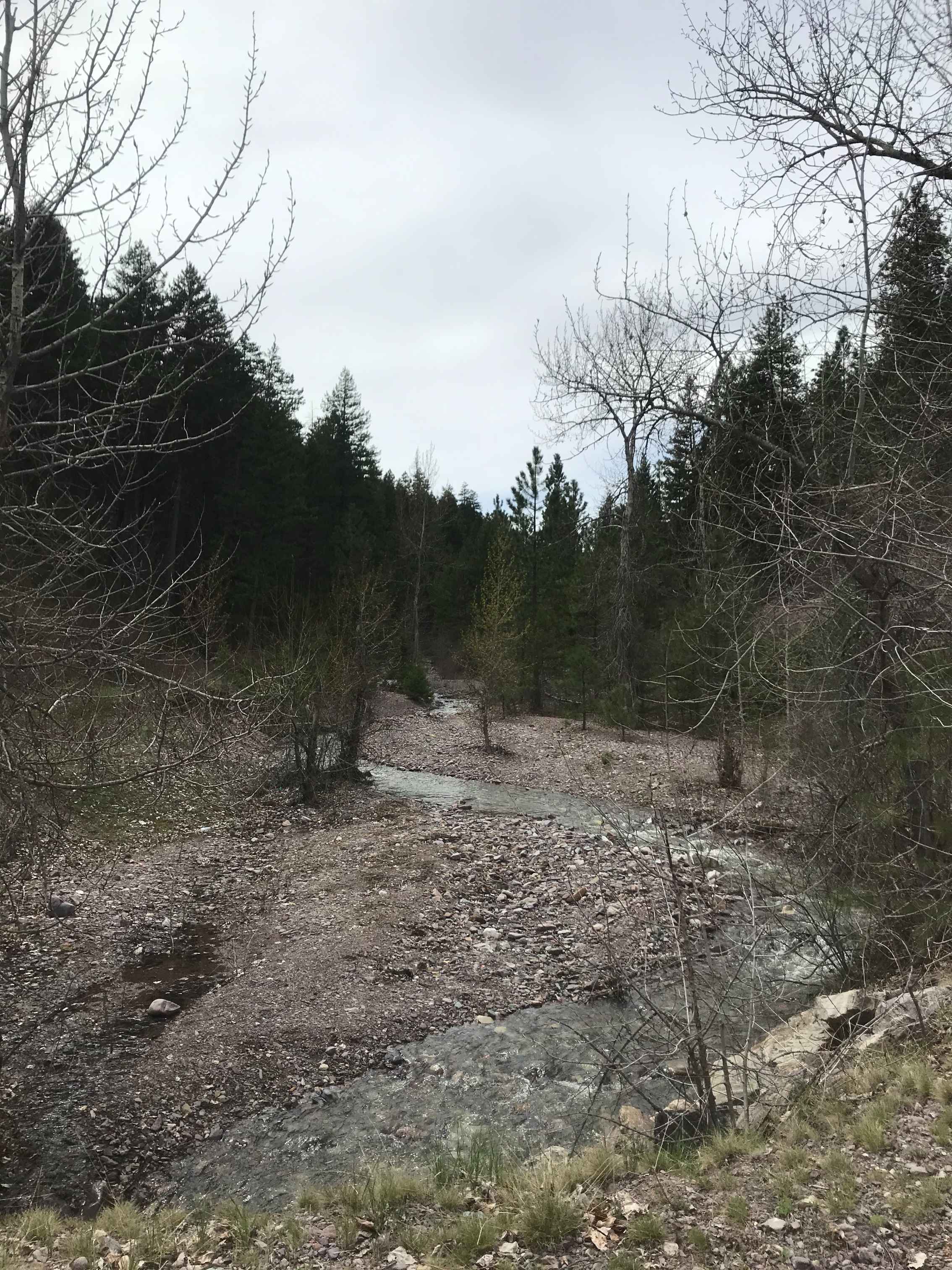
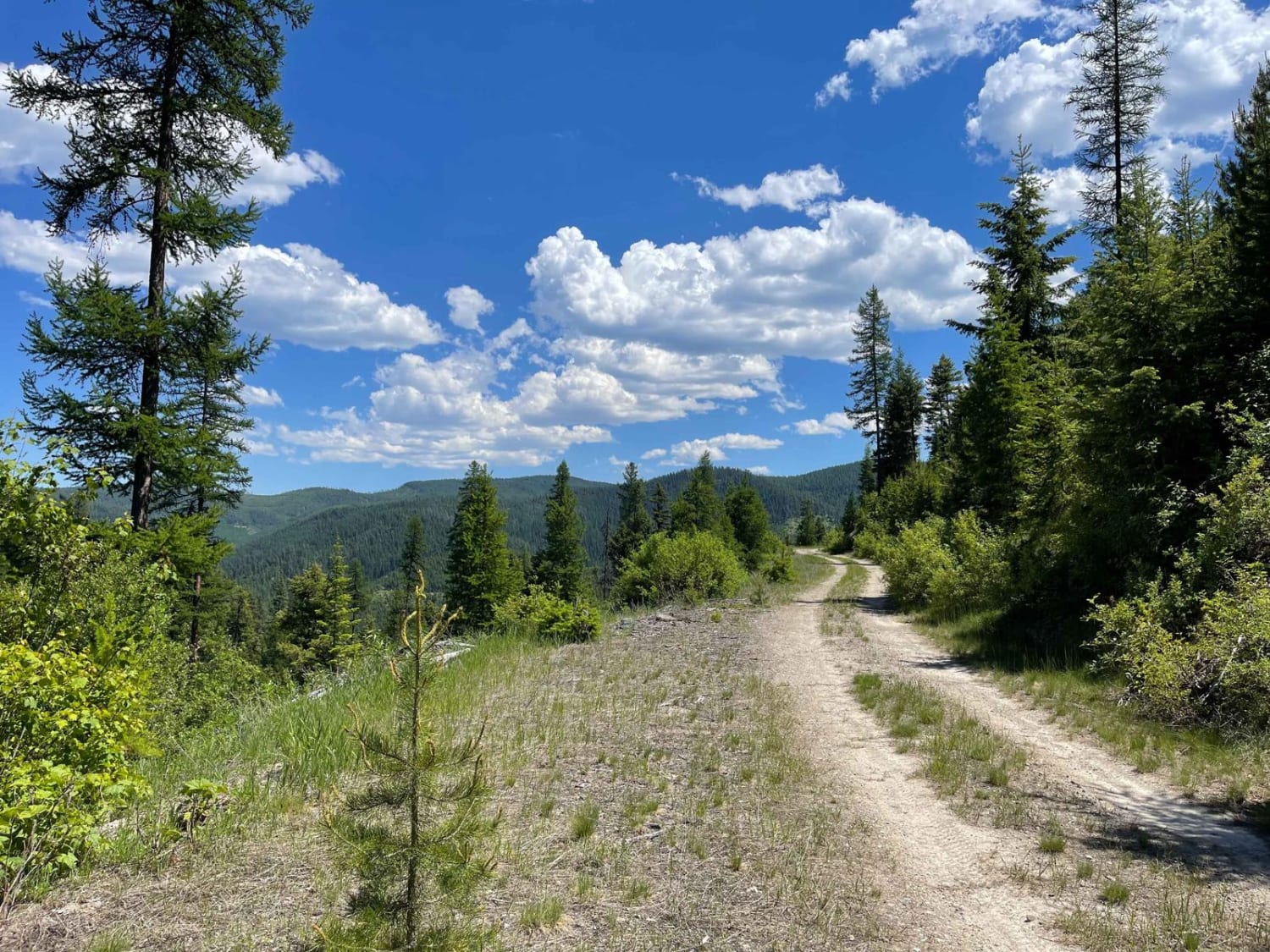
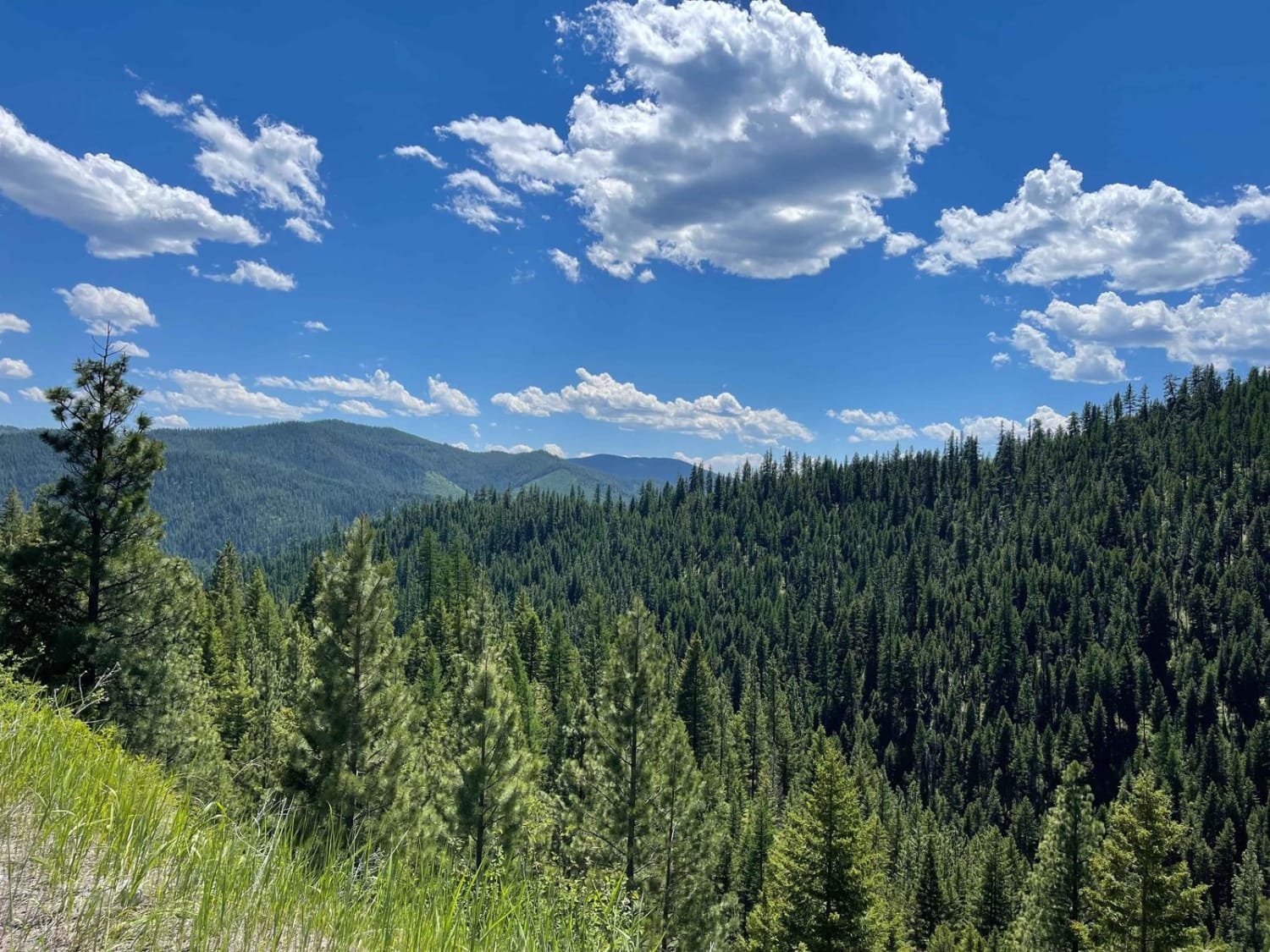
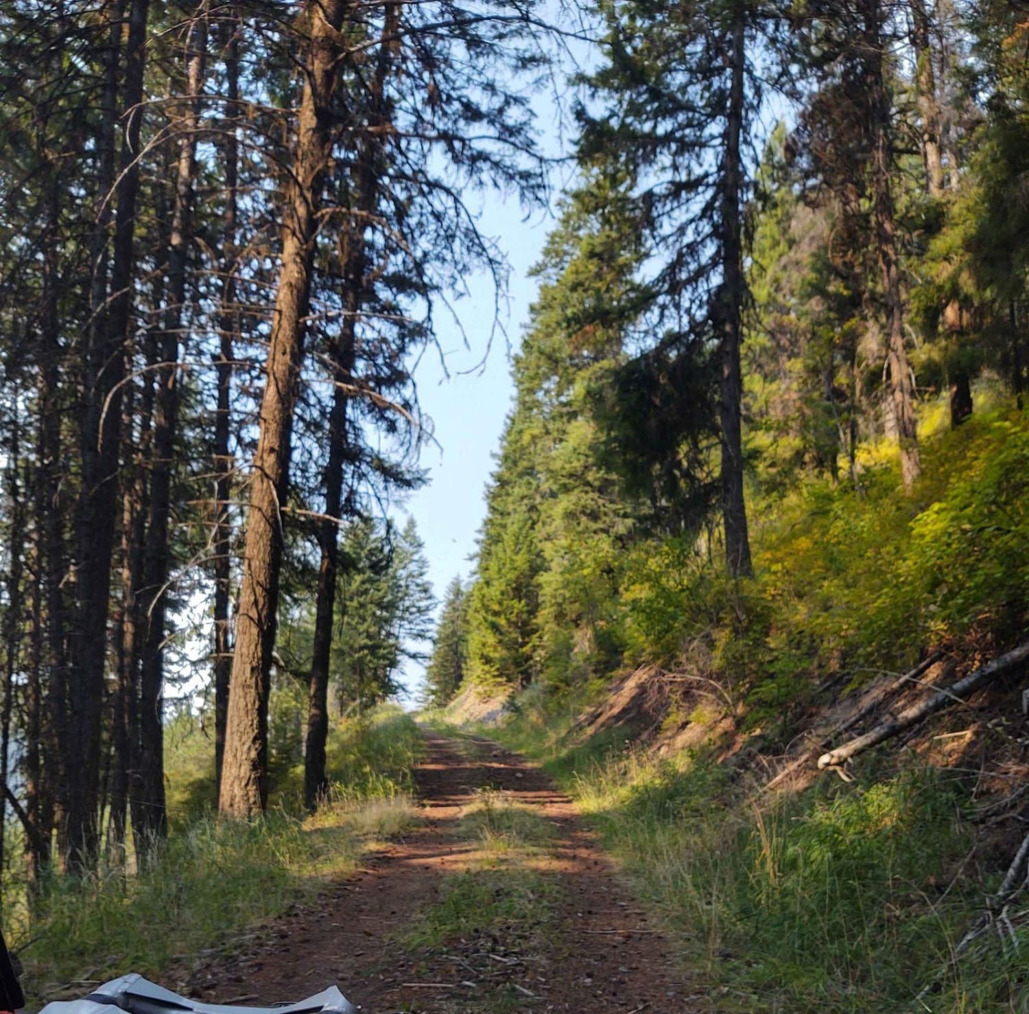
If you love a trail with non-stop twists and turns but no significant elevation change, this is the one for you. This easy connector trail runs right along the ridgeline far above Highway 12, with tall cliffs on one side and steep dropoffs on the other. Occasionally there is a clearing with a fantastic view of the Lolo River valley below. Be aware of springtime trees needing to be cleared or boulders in the trail after a big storm. Some work may be required to complete the trail. Otherwise, enjoy and don't try to make a call; there is no cellular service.
Photos of Cedar Run Ridge
Difficulty
Easy if there are no downed trees. Lots of tight corners, watch the steep descent on the hillside. There are no guardrails on this shelf road.
Status Reports
Popular Trails

Southside Road

Hatcher Pass

Stonewall Mountain Lookout
The onX Offroad Difference
onX Offroad combines trail photos, descriptions, difficulty ratings, width restrictions, seasonality, and more in a user-friendly interface. Available on all devices, with offline access and full compatibility with CarPlay and Android Auto. Discover what you’re missing today!


