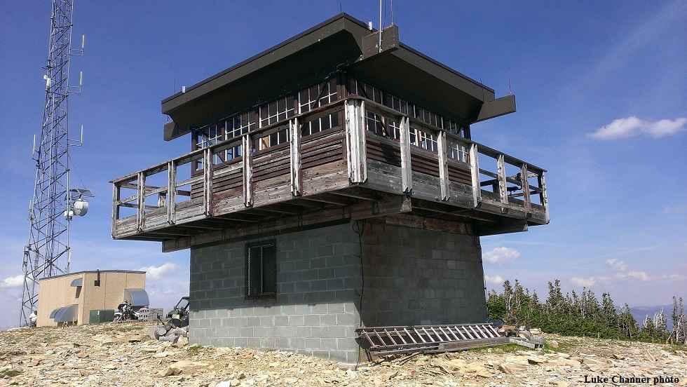
Stonewall Mountain Lookout
Total Miles
9.8
Technical Rating
Best Time
Summer, Fall
Trail Type
50" Trail
Accessible By
Trail Overview
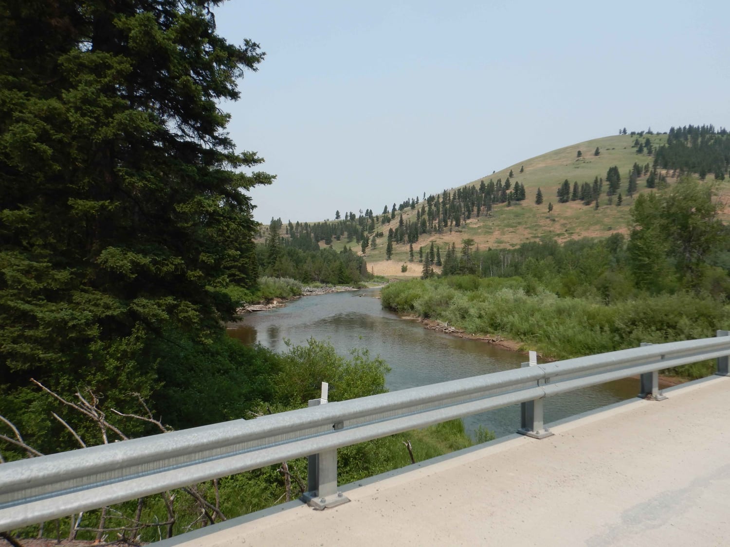
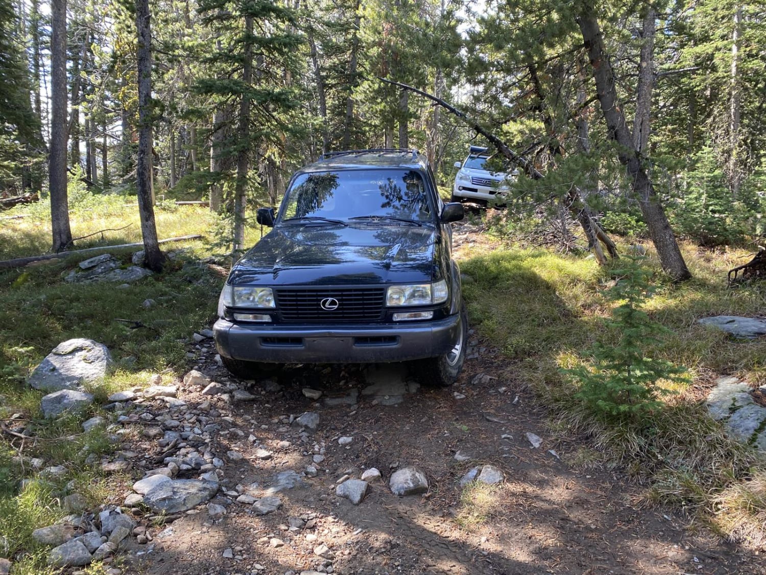
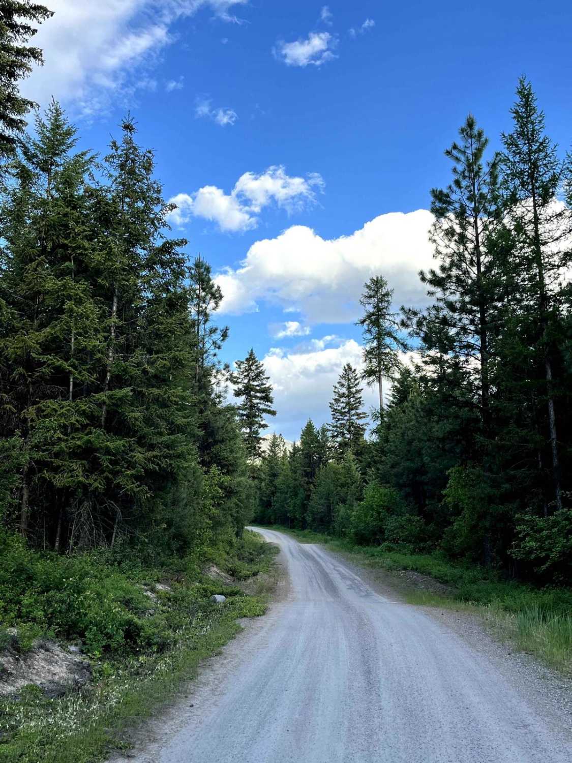
One of the more popular trails in the Lincoln Ranger District, the Stonewall Mountain trail takes visitors seemingly to the top of the world, with fantastic views of the Scapegoat Wilderness and the Upper Blackfoot Valley spread out below. The trail can either be started from the Keep Cool Connector OHV trail which takes off from Sucker Creek Road, or from the North Fork Keep Cool Road 1821. Visitors then steadily climb to meet the Snowbank Creek/Sucker Creek trail halfway up the mountain, where several large Douglas Fir trees offer ample shade for family picnics with a great view. The trail continues to wind its way through previously burned forest to the summit of Stonewall Mountain. The trail has lots of twists and bumps that add to the challenge. Once at the top visitors can stop at the fire lookout, which is still staffed in the summer by the Forest Service. Keep an eye out for mountain goats as well, who love to hang out at the base of the lookout. Please remember to keep your space and do not feed the wildlife. All in all, this trail is a fantastic way to view the Lincoln area and offers some of the best views in the region.
Photos of Stonewall Mountain Lookout

Difficulty
As the trail approaches the summit gets more and more narrow with close tree and rock clearances.
History
Established with a 10' pole L-4 tower in 1945 and staffed until 1963, it was soon thereafter torn down. A new lookout was proposed about 1990, the end result being a frame cabin atop a 10' concrete base, built in the mid-1990s. The roof was blown off in late 2008, necessitating repairs. It is staffed in the summer.
Status Reports
Stonewall Mountain Lookout can be accessed by the following ride types:
- ATV (50")
- Dirt Bike
Stonewall Mountain Lookout Map
Popular Trails

Siegel Pass-Nine Mile Rd
Nevada-Ogden Road
South Baldy Loop
Falls Creek Alder Creek - NF901
The onX Offroad Difference
onX Offroad combines trail photos, descriptions, difficulty ratings, width restrictions, seasonality, and more in a user-friendly interface. Available on all devices, with offline access and full compatibility with CarPlay and Android Auto. Discover what you’re missing today!