BLM735-Kane County 4040
Total Miles
2.4
Elevation
1,928.98 ft
Duration
1 Hours
Technical Rating
Best Time
Spring, Summer, Fall, Winter
Trail Overview
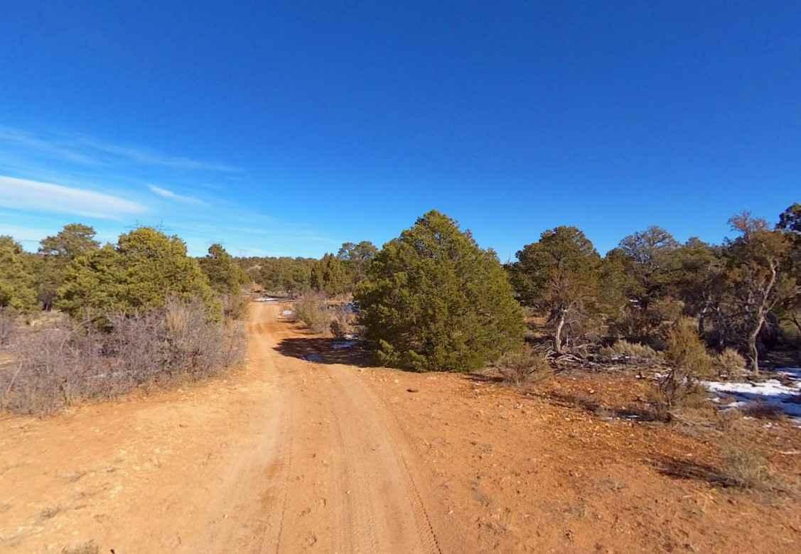
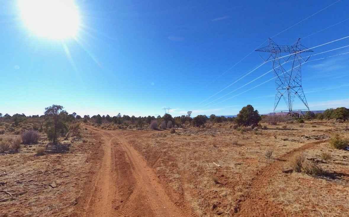
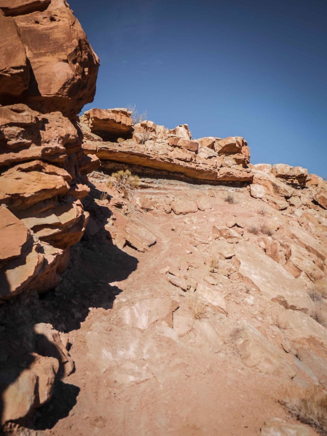
BLM735-Kane County 4040 is a 2.3-mile point-to-point trail that crosses the Kaibab Plateau east to west and is rated 3 of 10. This is a single-track road that consists mostly of sand, dirt and crushed rock. The area is managed by the BLM and dispersed camping is allowed throughout the area. That area is covered in grassy plains, scrub brush and juniper forests. BLM735-Kane County 4040 is one of several trails used to connect between Rock House Road and Highway 89 to include BLM765/KC4130, BLM751/KC4150 and BLM730/KC4080. BLM735-Kane County 4040 crosses the hilly plateau east of Buckskin Mountain. This area is remote and is very hot in the summer and may be below freezing in the winter. There is no cellphone service in the area and the nearest services are in Kanab approximately 40 miles west.
Photos of BLM735-Kane County 4040
Difficulty
Trail consisting of loose rocks, dirt, and sand with some slickrock surfaces, mud holes possible, no steps higher than 12". 4WD may be required, aggressive tires a plus.
Status Reports
Popular Trails
Zion Overlook Loop
West Crater Island

Riverbottom Road-JC8122802
Link 4 (Difficult)
The onX Offroad Difference
onX Offroad combines trail photos, descriptions, difficulty ratings, width restrictions, seasonality, and more in a user-friendly interface. Available on all devices, with offline access and full compatibility with CarPlay and Android Auto. Discover what you’re missing today!