Lonely Doug
Total Kilometers
11.5
Elevation
56.07 m
Duration
1.5 Hours
Technical Rating
Best Time
Spring, Summer, Fall, Winter
Trail Overview
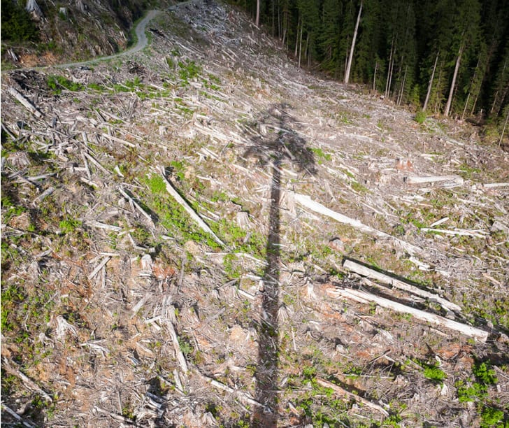
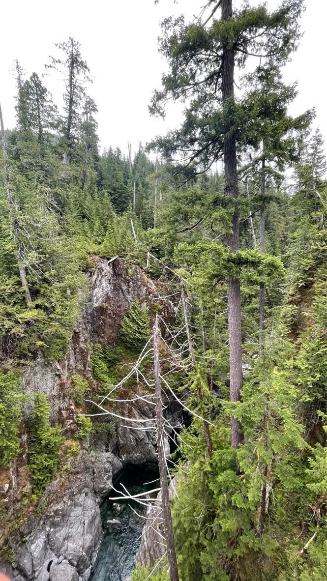
This is located in a very wet rainforest area of Southern Vancouver Island where the old-growth forest has been under attack by logging for decades. The road is a basic rough FSR up until the last 90-degree turn. Most people hike from there. 4WD with clearance is required for the last 250 meters. Lonely Doug is a huge douglas fir in the middle of a clear-cut area. At the time that the area was logged this was the 2nd tallest douglas fir in the country. Confirmed to be sixty-six meters tall, nearly four meters wide, and almost twelve meters in circumference. It is huge. Encased within the foot-thick corky bark was enough wood to fill four logging trucks or to frame five 2,000-square-foot houses. This tree was saved and it has stood as a reminder that we need these giant icons in our forests.This is located in prime bear country so have bear spray and make noise.
Photos of Lonely Doug
Difficulty
The last 250 meters is exposed larger rocks where you need to pick your line. You need a higher clearance 4wd or you could get damage. You can walk from the east 90 degree corner to see Doug!
Popular Trails
Blair FSR
Pinaus Lake Road to Pinaus Lake North Rec Site
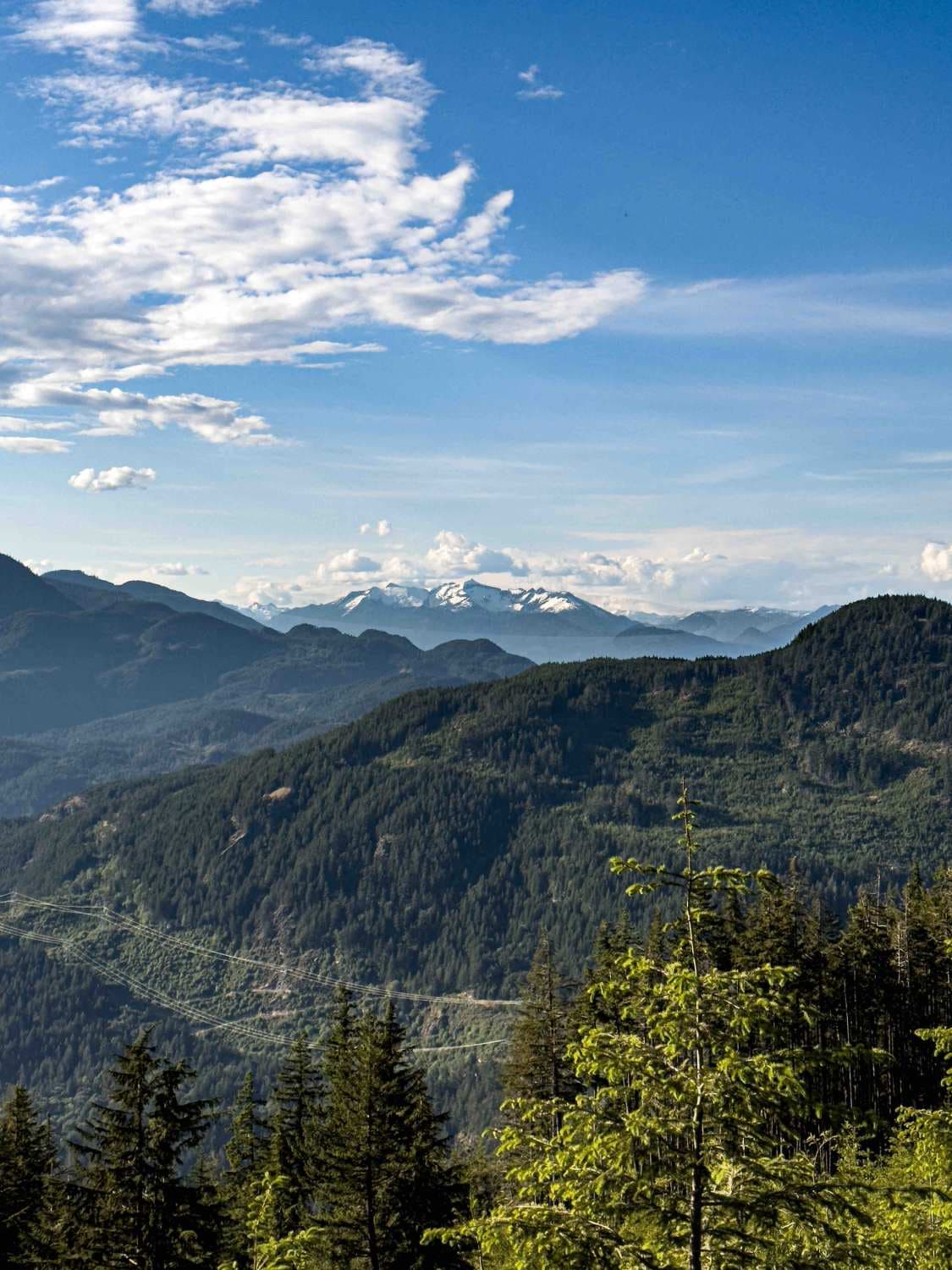
Mount Woodside
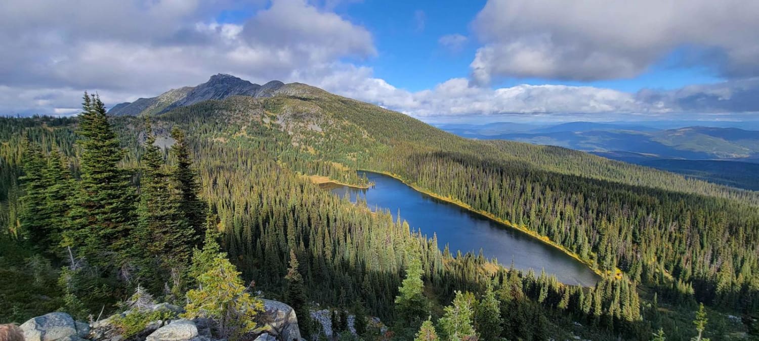
Lost Airplane Ridge
The onX Offroad Difference
onX Offroad combines trail photos, descriptions, difficulty ratings, width restrictions, seasonality, and more in a user-friendly interface. Available on all devices, with offline access and full compatibility with CarPlay and Android Auto. Discover what you’re missing today!
