Turtle 2
Total Miles
1.4
Elevation
1,253.22 ft
Duration
0.5 Hours
Technical Rating
Best Time
Spring, Fall, Winter
Trail Overview
Turtle 2 is accessed partway through Turtle 1 and comes back into T1, so doing both trails together is recommended. T2 is a loop and comes back into itself at the halfway point, so most of the obstacles are run in reverse coming back around, making them a lot of fun and requiring different line selections. T2 also has arrows partway through the trail, making it easier to follow the intended route.
Photos of Turtle 2
Difficulty
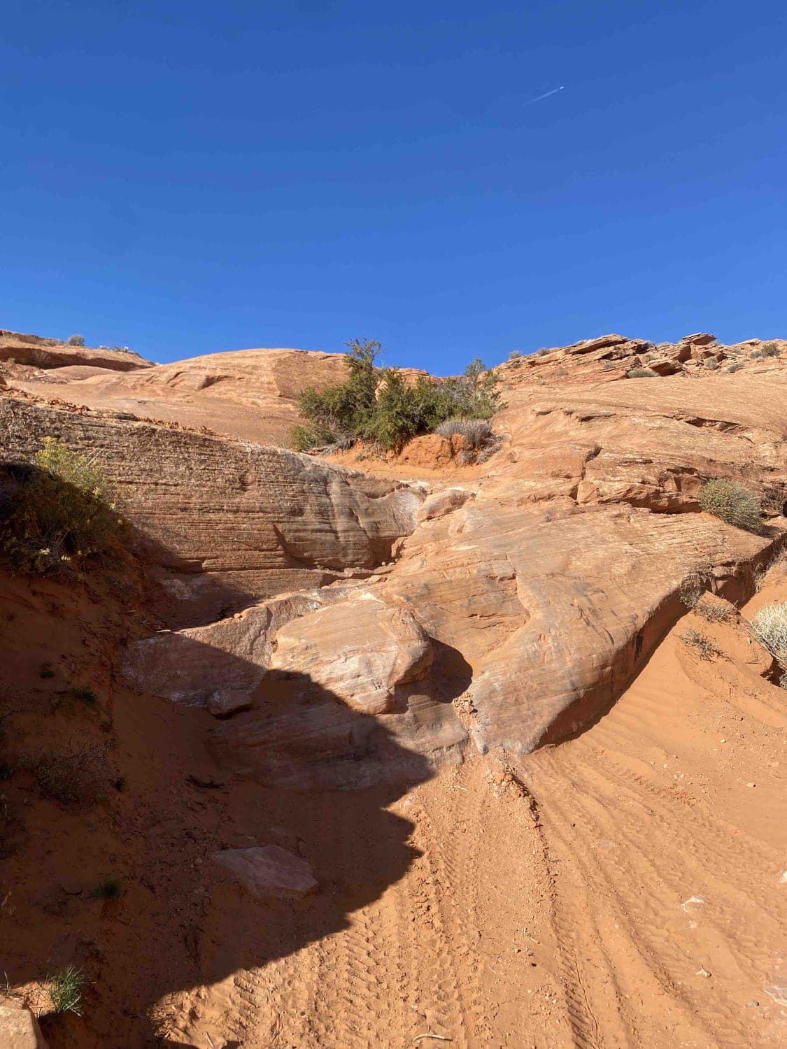
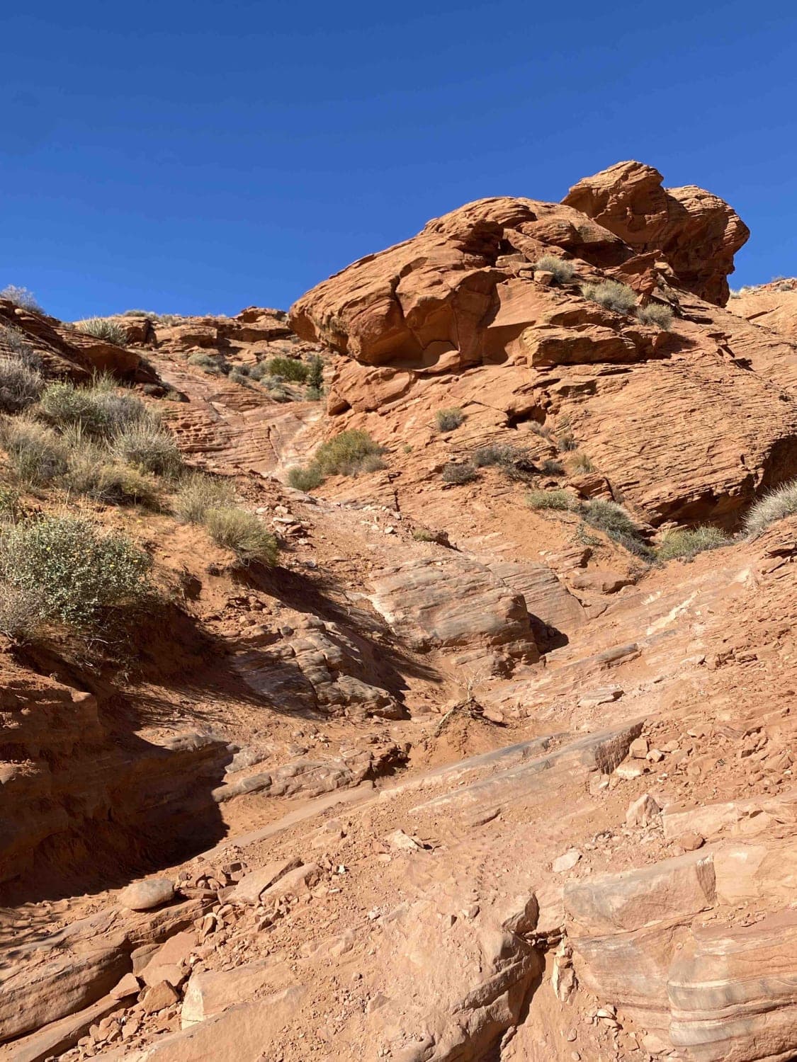
T2 has a few steep and off-camber climbs but none are super hard and none hang you over a drop-off. A good spotter may be helpful on a couple of obstacles, but overall this is a fairly easy and very fun trail that can be run solo if wanted.
History
Turtles 1 and 2 are fairly new trails so neither has a trailhead sign, but both are easy to find with the app.
Status Reports
Popular Trails

Cutler Point-BLM1035

Green River to Highway 6

Dixie National Forest-FR30875

Buckhorn Draw
The onX Offroad Difference
onX Offroad combines trail photos, descriptions, difficulty ratings, width restrictions, seasonality, and more in a user-friendly interface. Available on all devices, with offline access and full compatibility with CarPlay and Android Auto. Discover what you’re missing today!

