Buckhorn Draw
Total Miles
8.4
Technical Rating
Best Time
Spring, Summer, Fall
Trail Type
High-Clearance 4x4 Trail
Accessible By
Trail Overview
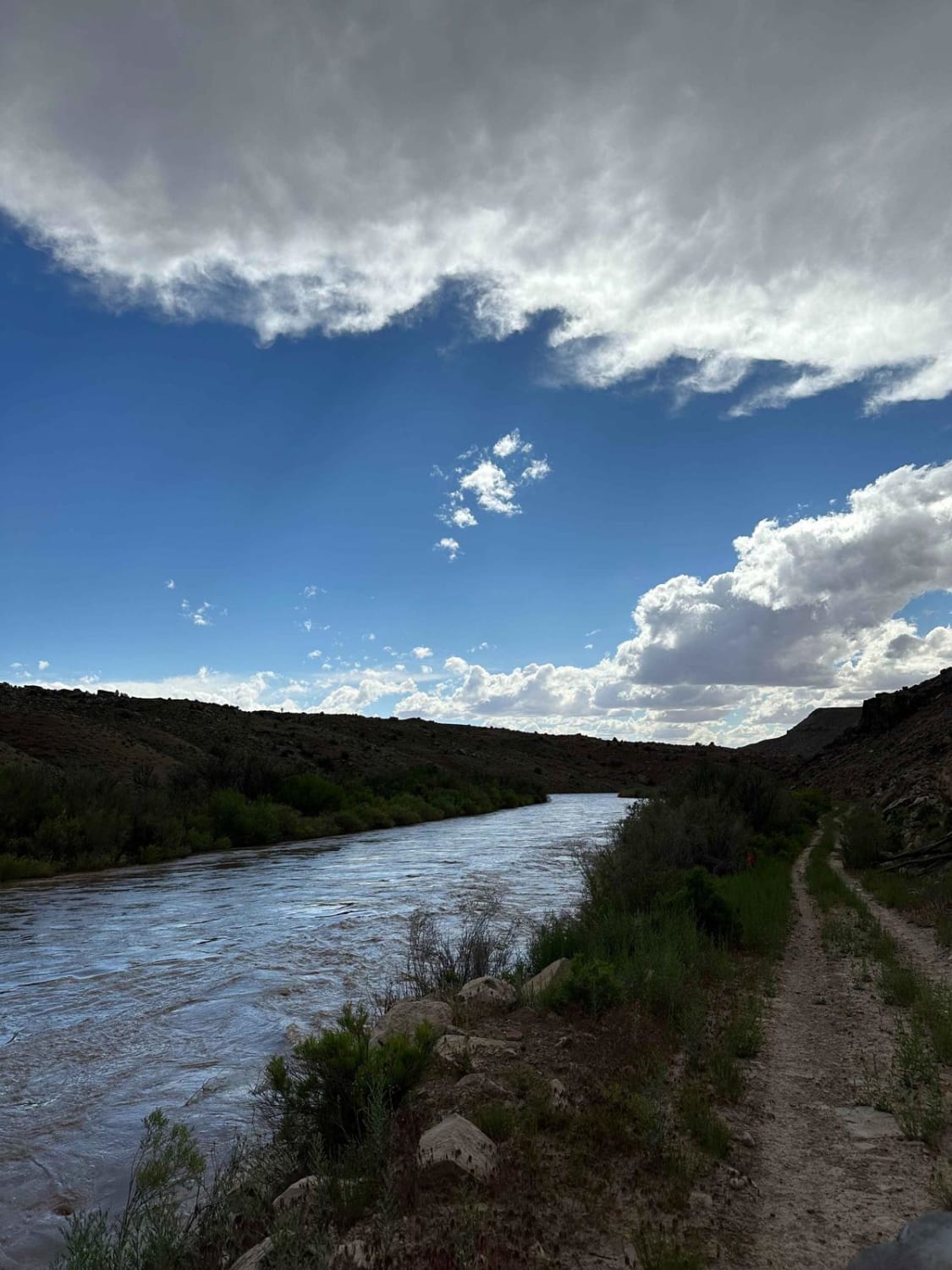
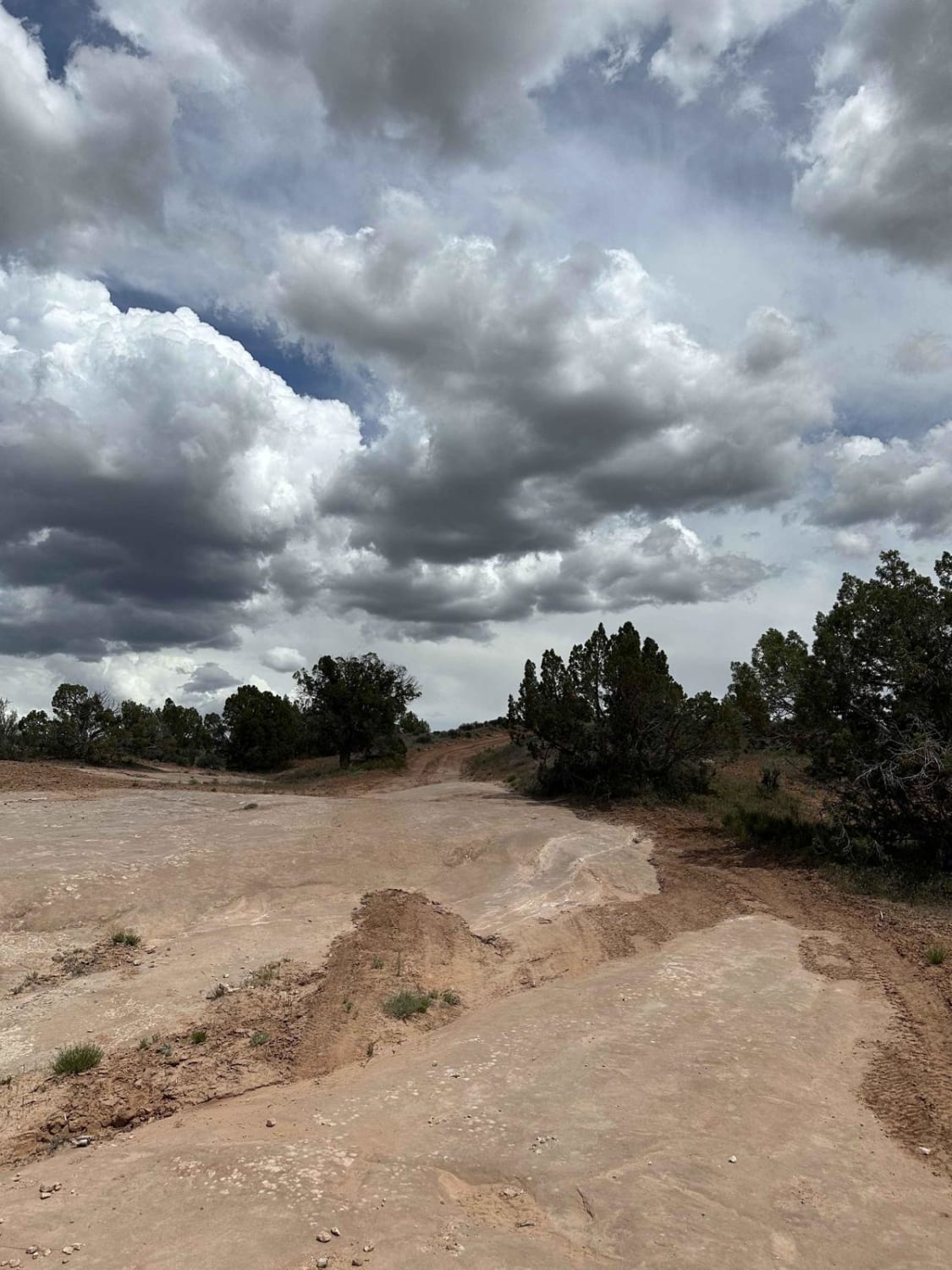
When you travel this trail, you'll be treated to breathtaking views of the stunning canyon landscapes and the majestic Dolores River. It's common to spot a wide range of wildlife during your journey, but it's important to remain aware of livestock in the area. It's also worth noting that the trail is prone to erosion and washouts, which can result in rutted and unstable surfaces. Additionally, you may encounter fallen rocks that could pose unexpected challenges.
Photos of Buckhorn Draw
Difficulty
This trail has very rocky terrain that is heavily rutted, with steep inclines and declines, multiple off-camber sections, rock gardens, and obstacles up to 3 feet tall.
Status Reports
Popular Trails

Casto Bowl - BLM 30116
Behind the Reef 50-Inch Trail
Rocky Road Trail
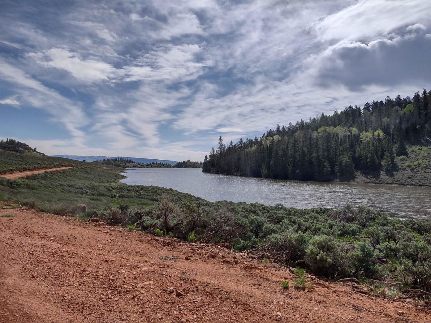
Monroe Mtn Road to Upper Box Creek Reservoir (FS# 40068)
The onX Offroad Difference
onX Offroad combines trail photos, descriptions, difficulty ratings, width restrictions, seasonality, and more in a user-friendly interface. Available on all devices, with offline access and full compatibility with CarPlay and Android Auto. Discover what you’re missing today!
