Summit Lake Trailhead
Total Miles
6.6
Technical Rating
Best Time
Spring, Summer, Fall
Trail Type
Full-Width Road
Accessible By
Trail Overview
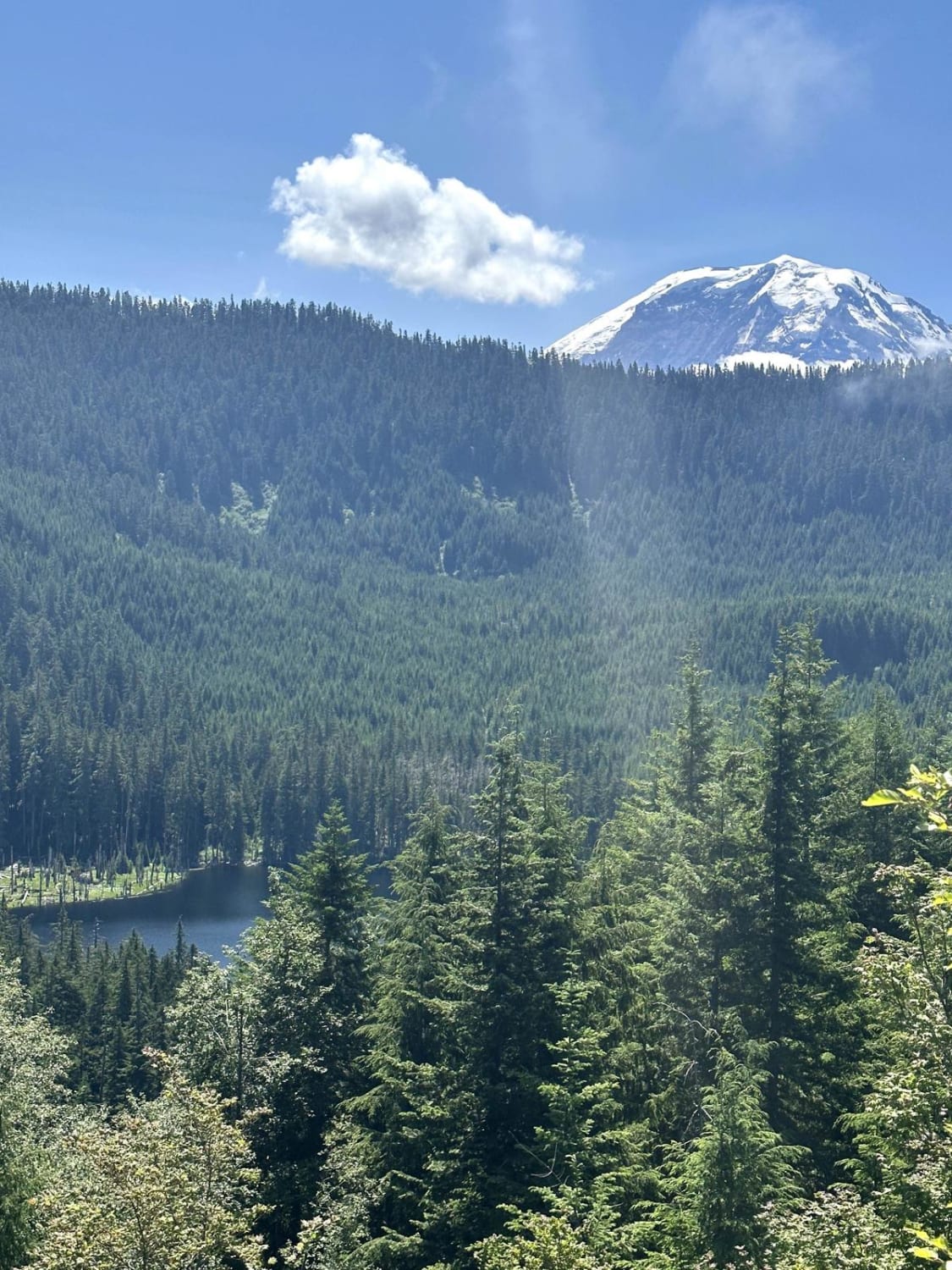
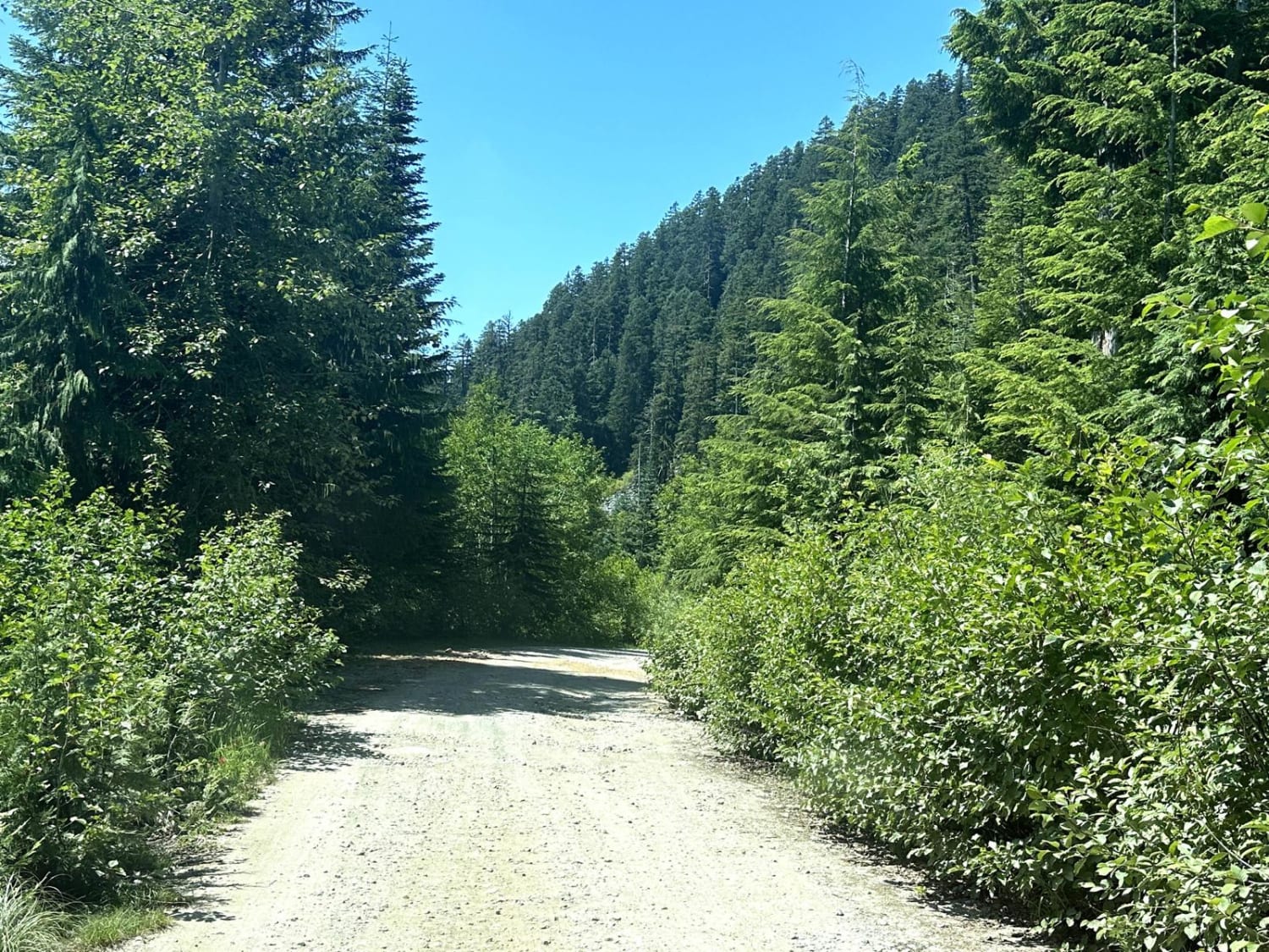
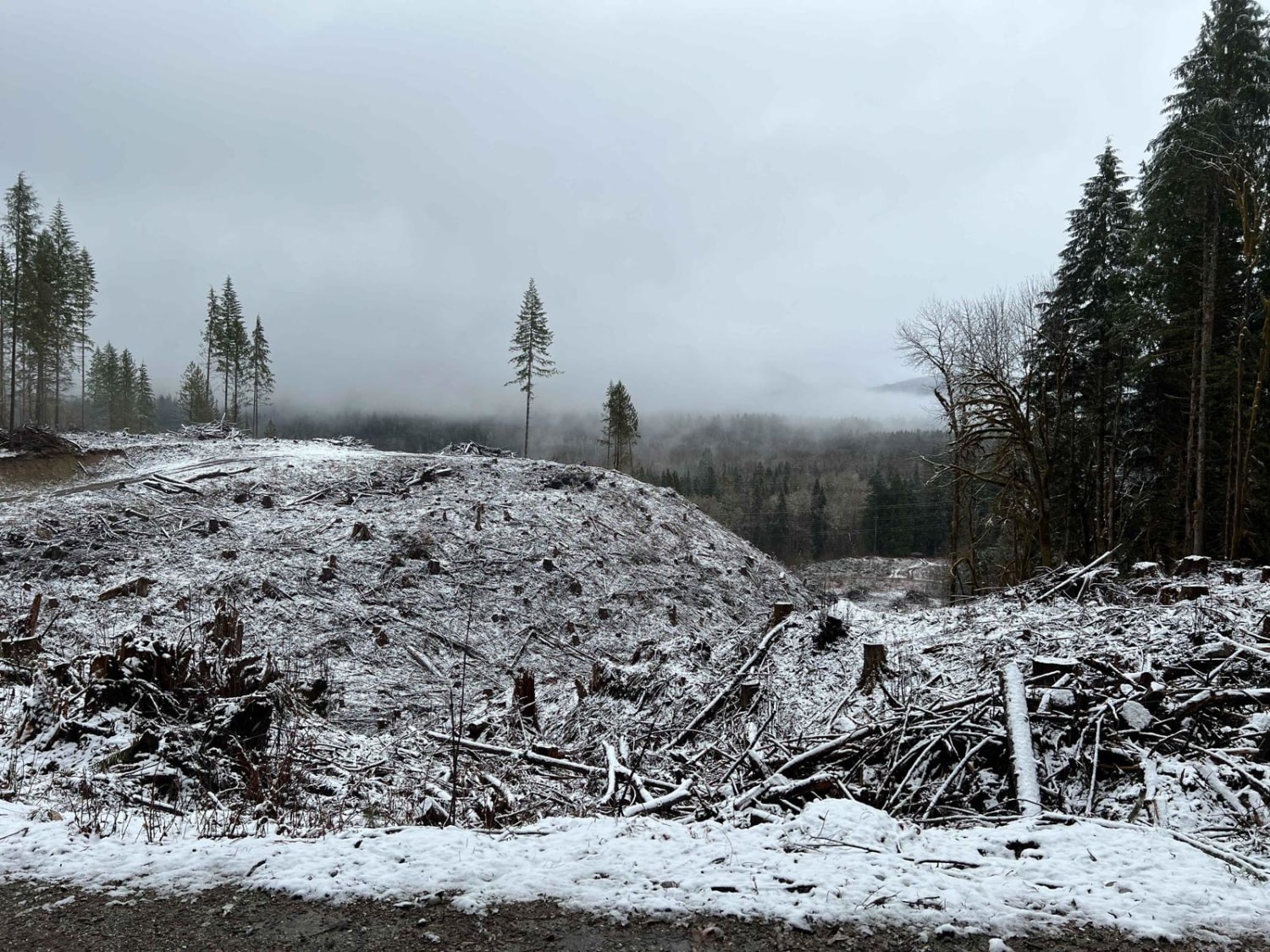
This 26-mile out-and-back trail takes you from the Carbon River Valley up to the Summit Lake Trailhead. There will be a left turn onto an expansive paved bridge that will take you across the Carbon River. This road is known as FS 7810, Summit Lake Trailhead Road, and Cayada Creek. After crossing the bridge, you'll hit the dirt road which is suitable for most vehicles. It is a hard-packed dirt and rock Forest Service road with ample room to get by other vehicles. There are some larger pullouts, shooting pits, and viewing areas of the lower valleys. You'll pass a few waterfalls on your left on the way up as well as a few spur roads that are closed for logging. Continue straight on the main road. At 5.6 miles since turning onto Summit Lake Road, you will come to an intersection. Continue left up FS 7810 to the Summit Lake Trailhead. The road here gets a little more narrow and rocky. It is a heavily driven road with a few ruts and mud puddles. Take your time through this section as the trailhead gets busy and you may need to pull to the side to let other vehicles pass. Enjoy the scenic views of the Carbon River Valley as you climb in elevation towards the trailhead for hiking trails within the Clearwater Wilderness Area.
Photos of Summit Lake Trailhead
Difficulty
This is a single-vehicle road with turn-outs. It has some minimal washboard or ruts due to winter freeze and water run-off. There are a few ruts that are 4-5 inches in depth that could easily be avoided.
Status Reports

Popular Trails

Weber's Wandering

CG 1400 Connecting Trail

Tahuya -Trail 55
The onX Offroad Difference
onX Offroad combines trail photos, descriptions, difficulty ratings, width restrictions, seasonality, and more in a user-friendly interface. Available on all devices, with offline access and full compatibility with CarPlay and Android Auto. Discover what you’re missing today!