Bighorn Connector
Total Miles
2.2
Technical Rating
Best Time
Spring, Fall
Trail Type
Full-Width Road
Accessible By
Trail Overview
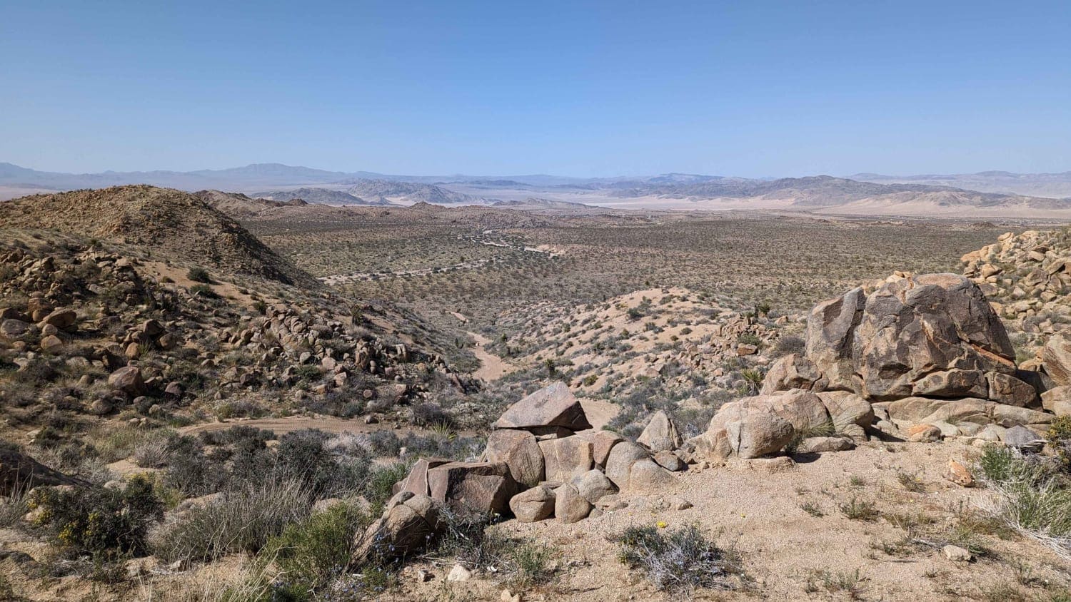
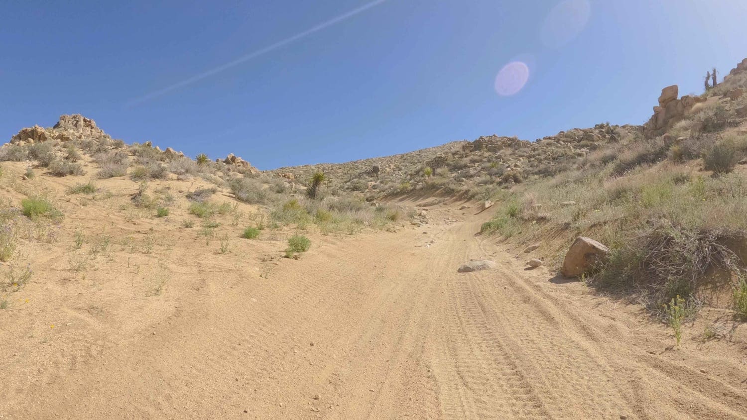
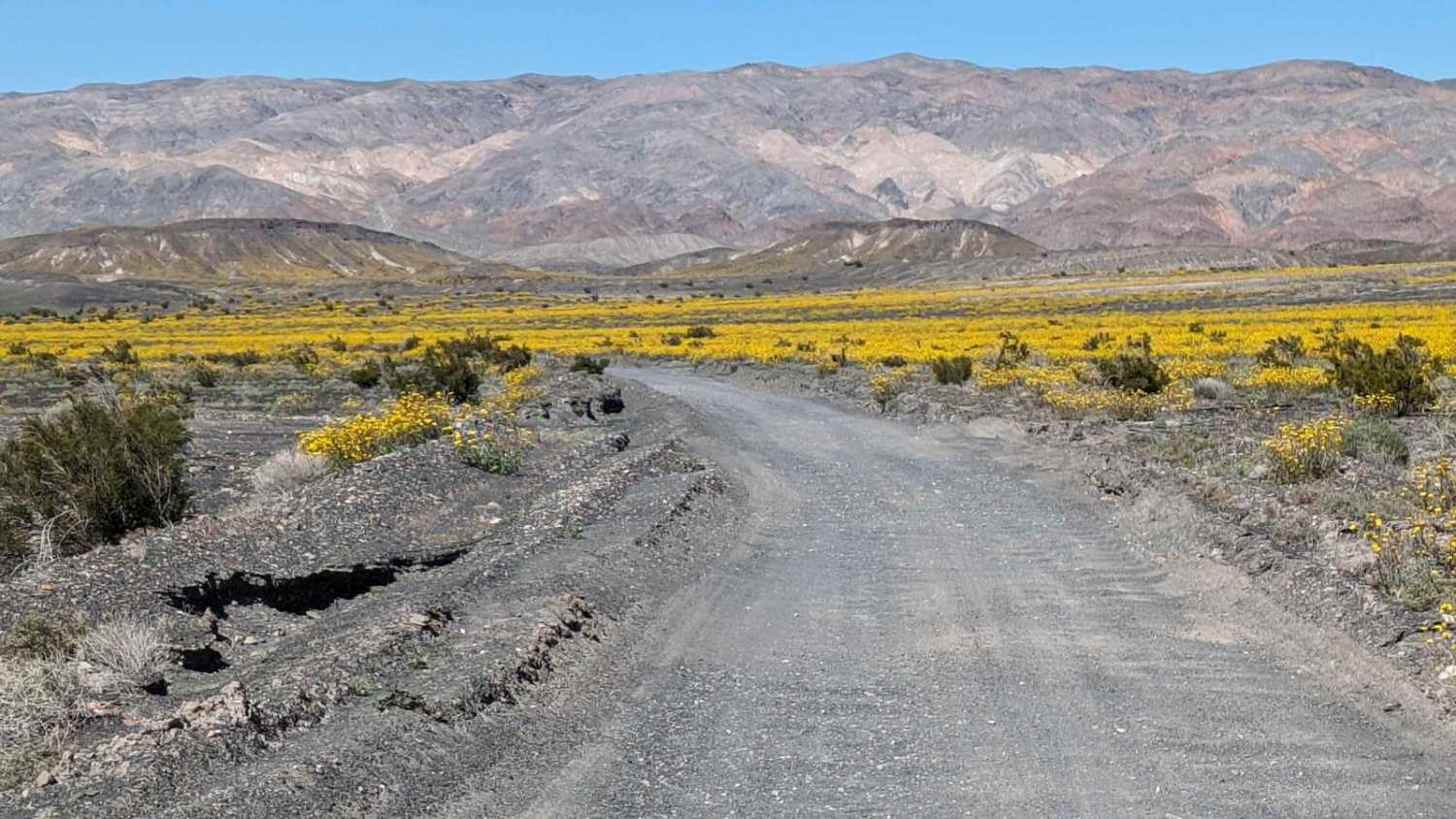
Bighorn Connector is a well-used trail that connects the ends of adjacent BLM roads that terminate near the Bighorn Wilderness boundary to create a series of interconnected loops. It is an easy combination of sandy washes and loose hill climbs. Its elevation above 4,000 feet provides a little respite from the heat in warmer months. As always in the desert, carry extra water and be snake aware whenever out of the vehicle.
Photos of Bighorn Connector
Difficulty
This trail is only rated a three due to a couple of loose climbs.
Popular Trails
Upper Buttermilk Road
Thomas Hunting Grounds

Stevens Mine Loop
Racetrack Valley Road North
The onX Offroad Difference
onX Offroad combines trail photos, descriptions, difficulty ratings, width restrictions, seasonality, and more in a user-friendly interface. Available on all devices, with offline access and full compatibility with CarPlay and Android Auto. Discover what you’re missing today!
