Seven Hour Plane Crash Trail
Total Miles
240.6
Technical Rating
Best Time
Fall
Trail Type
High-Clearance 4x4 Trail
Accessible By
Trail Overview
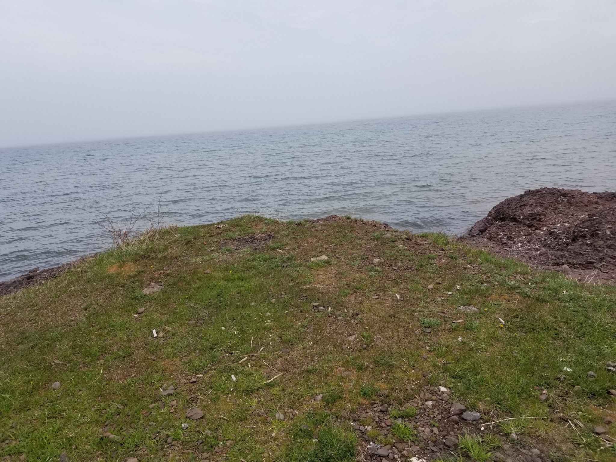
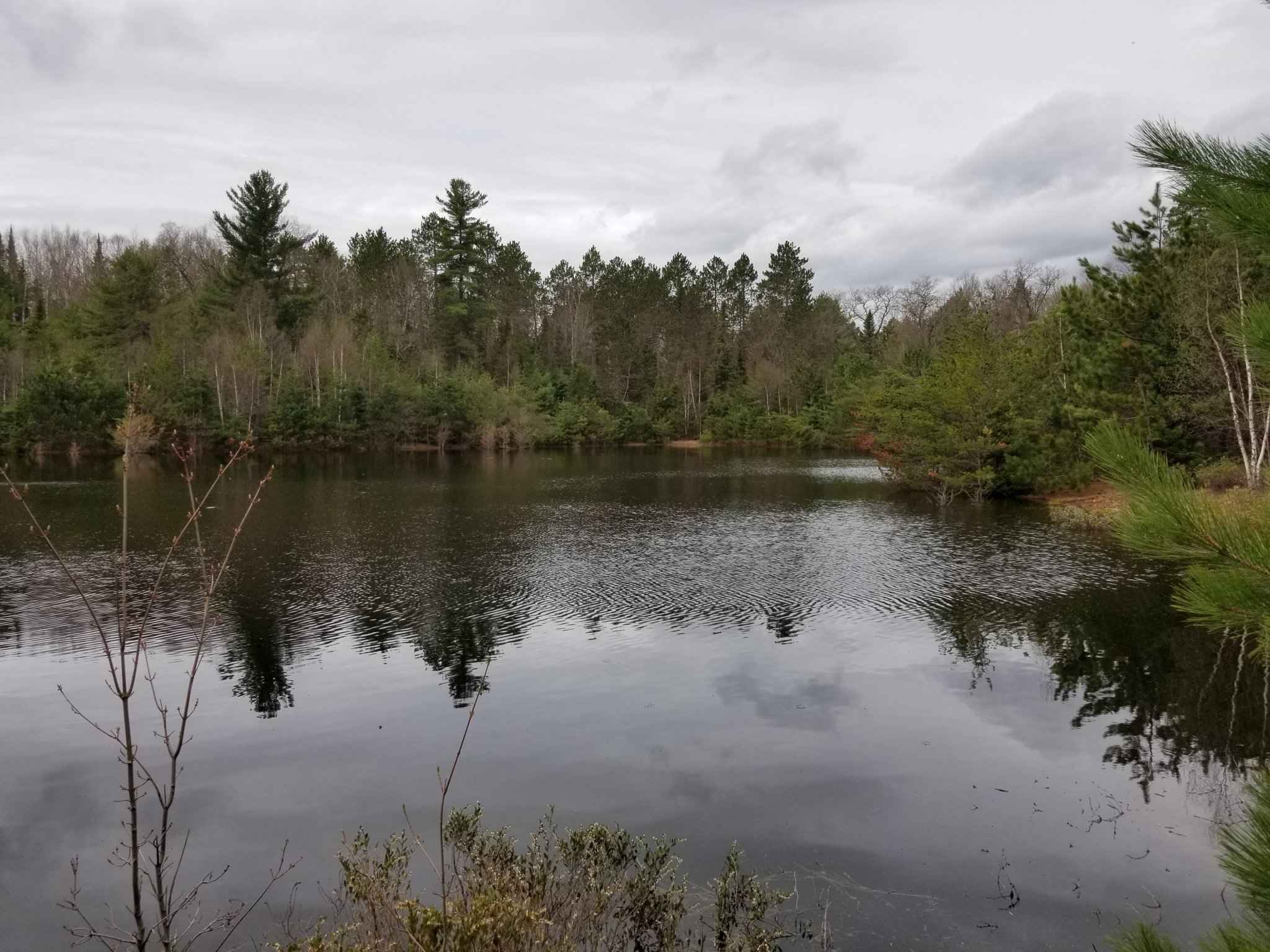
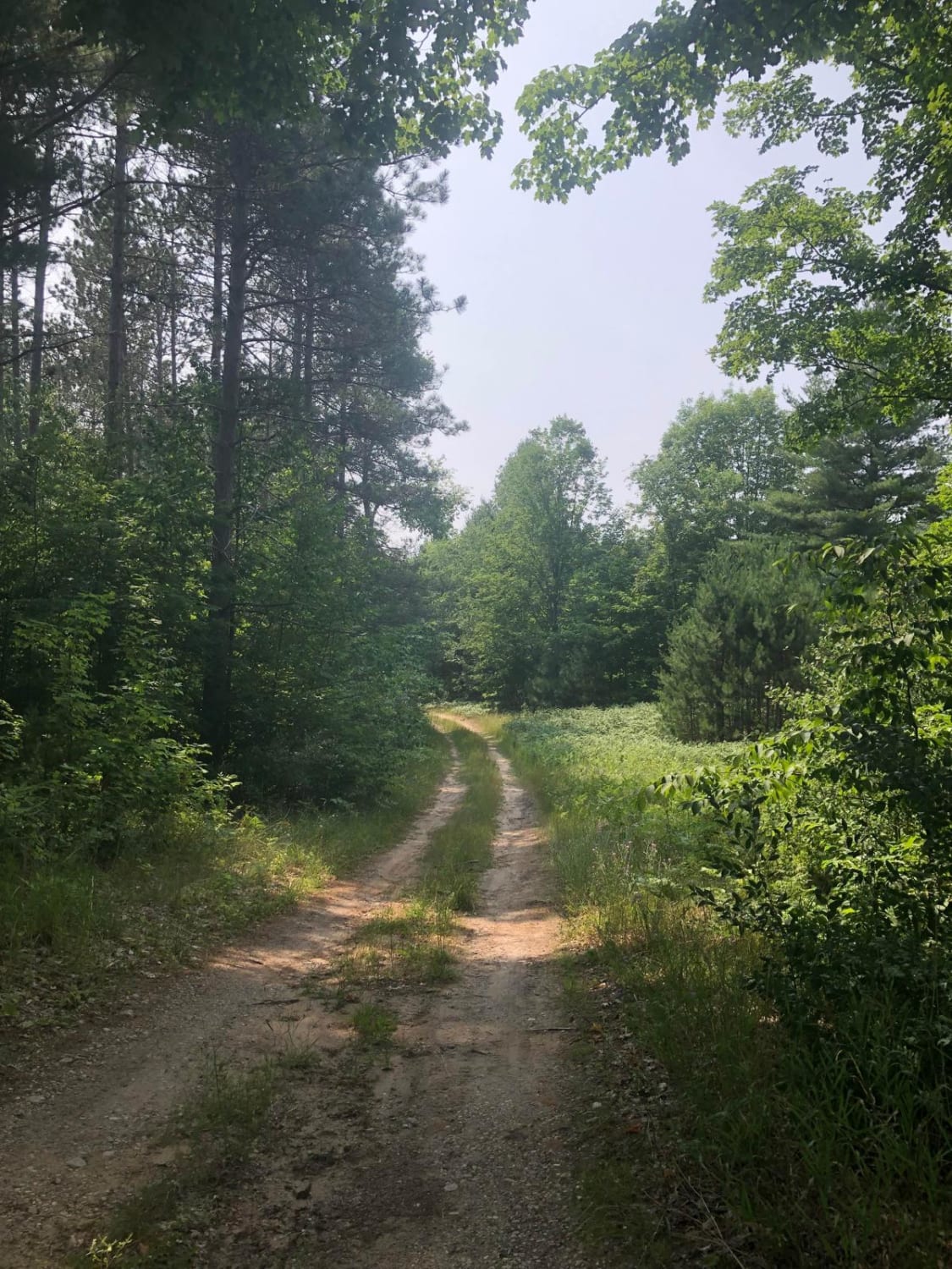
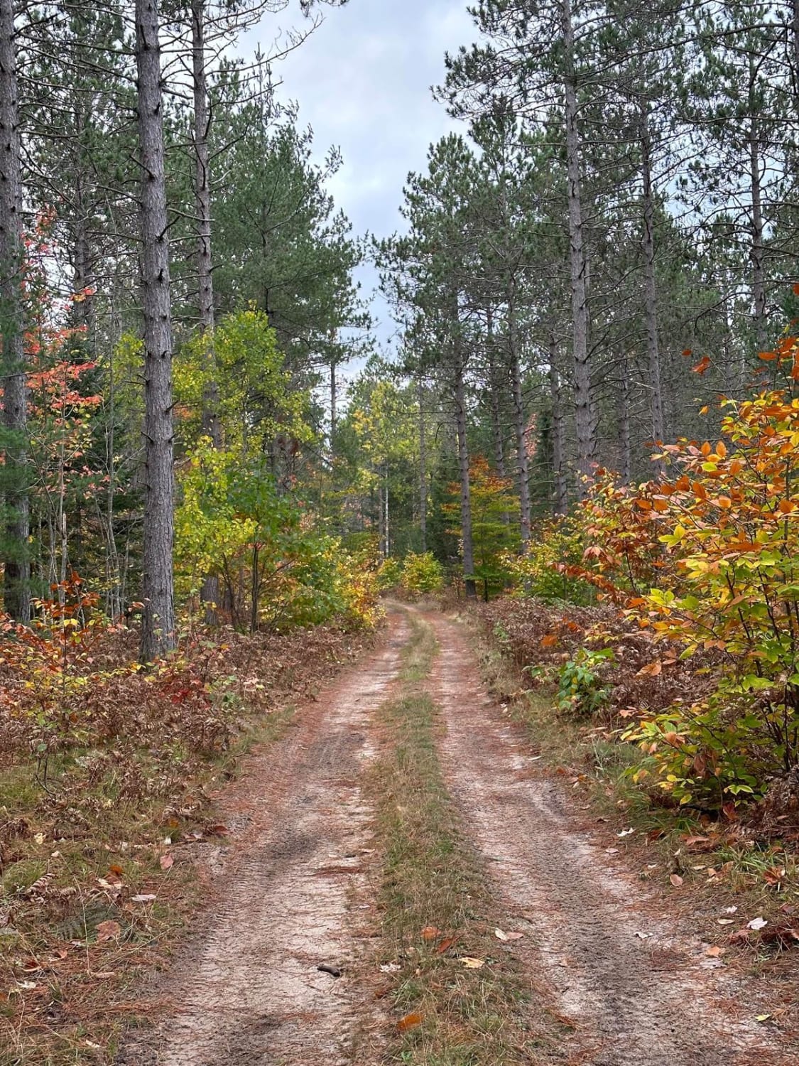
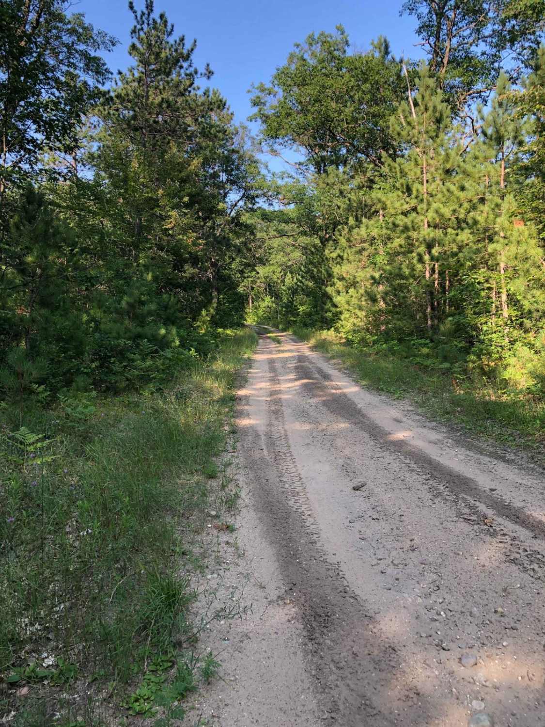
This trail geometry is now updated to avoid the road closure near the Wisconsin/Michigan border. The Seven Hour Plane Crash trail can be run from Crandon, Wisconsin, or from Copper Harbor, Michigan, and travels all the way to Michigan's Upper Peninsula. A particularly quiet trail, you can expect ruts, lots of forest roads, some washboard sections, and a potential water crossing. Copper Harbor High Rock Bay camping area is busy but has great views. The trail into the High Rock Bay outside of Copper Harbor is also very rough with deep ruts and potholes that will swallow a minivan.
Photos of Seven Hour Plane Crash Trail
Difficulty
Beware of the water crossing as it can be over 12 inches deep.
History
Originally this trail was put together by someone who used to desert race. They called Baja races "all-day plane crashes." This trail is about 300 miles long, which takes about 7 hours nonstop. There was a road closure on the trail near the Michigan/Wisconsin border but the trail geometry has since been updated to avoid that closure.
Status Reports

Popular Trails

Dowling Creek Trail - NFS 5406
Carpenter Road Loop
BC Cooke - FS 2349
The onX Offroad Difference
onX Offroad combines trail photos, descriptions, difficulty ratings, width restrictions, seasonality, and more in a user-friendly interface. Available on all devices, with offline access and full compatibility with CarPlay and Android Auto. Discover what you’re missing today!