Horse Haven Airfield
Total Miles
5.1
Elevation
927.03 ft
Duration
1.5 Hours
Technical Rating
Best Time
Spring, Summer, Fall, Winter
Trail Overview
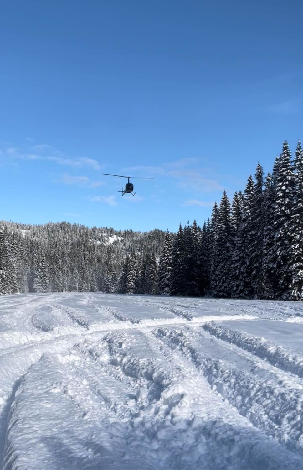
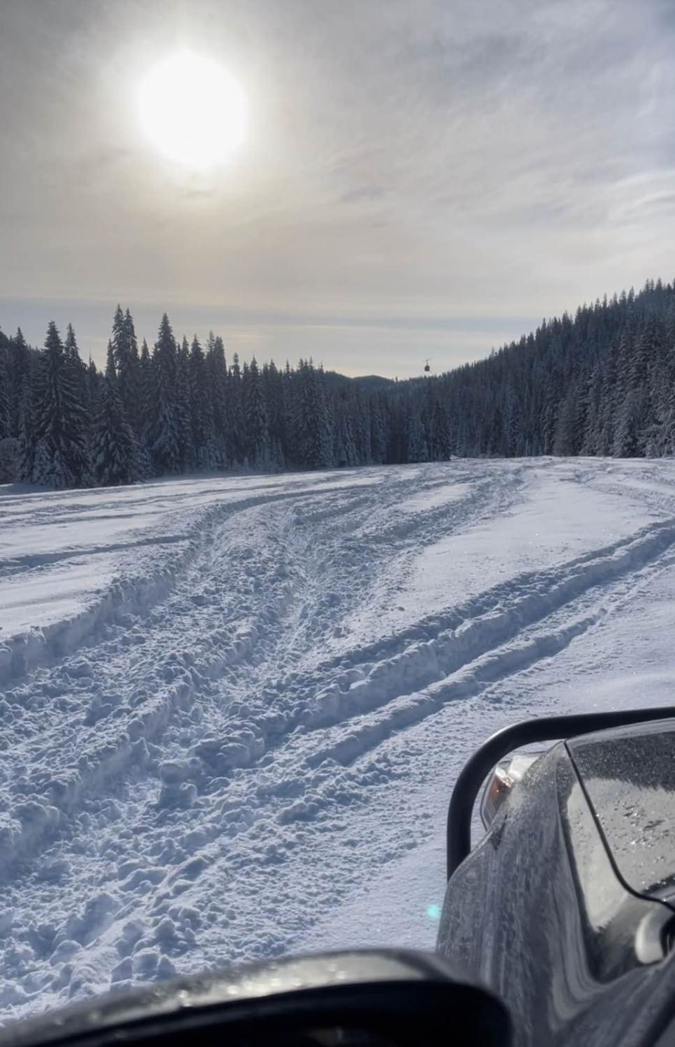
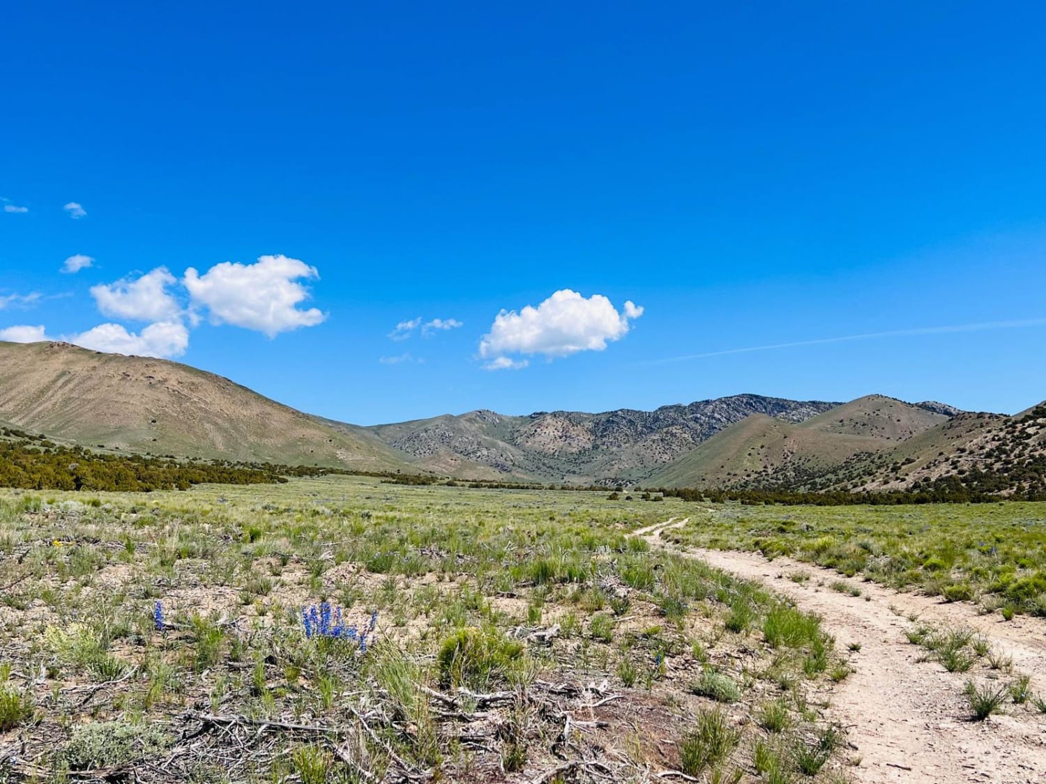
This trail is a dirt Forest Service road that is a narrow trail going along a creek and big pine trees. You may have issues passing another vehicle. The trail ends at a World War II airfield training site. You will find free camping in this area. It is a great place to go snowwheeling as there is a large open space.
Photos of Horse Haven Airfield
Difficulty
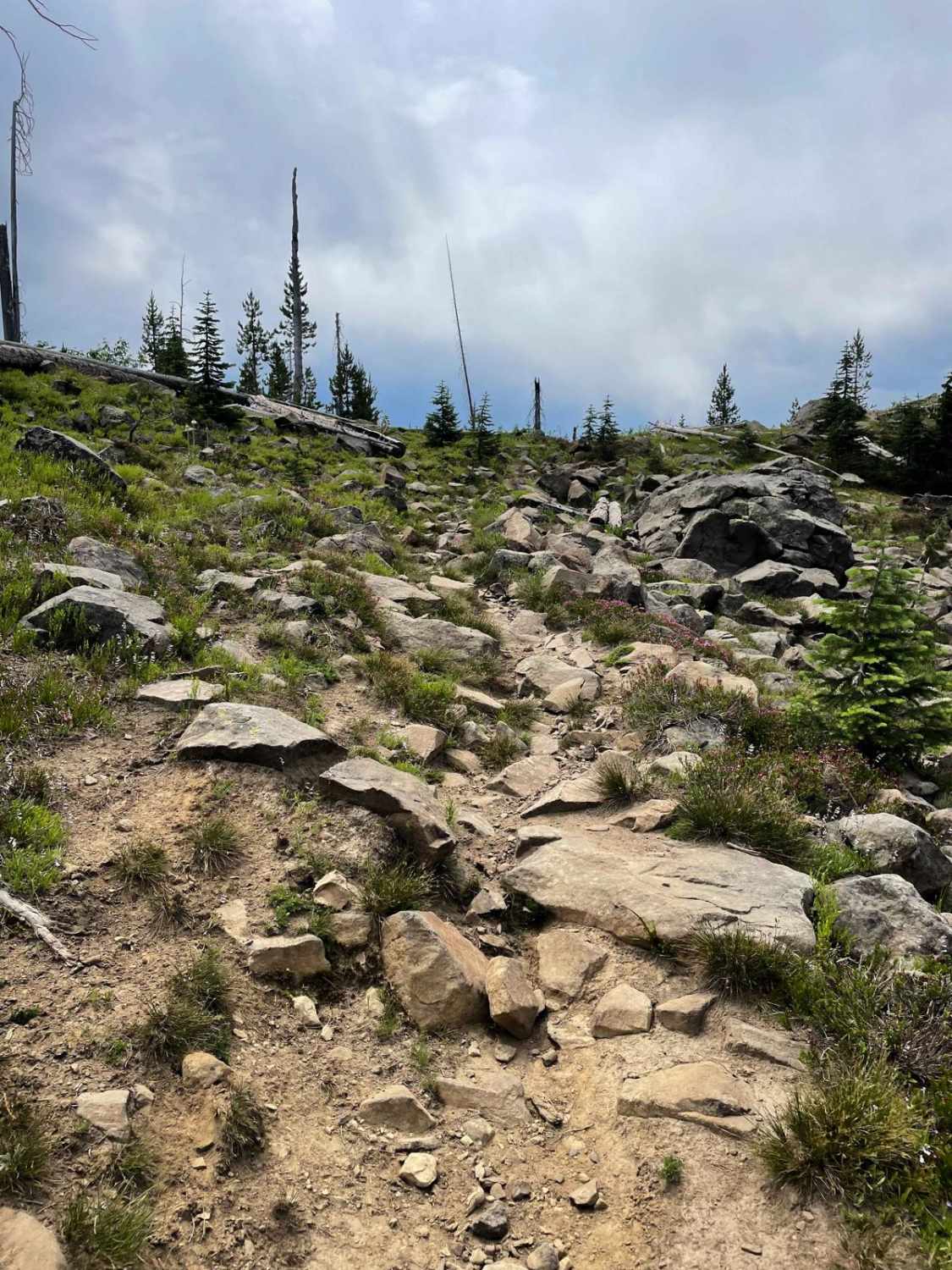
This is an easy, narrow dirt road unless there's rain or snow.
Status Reports
Popular Trails
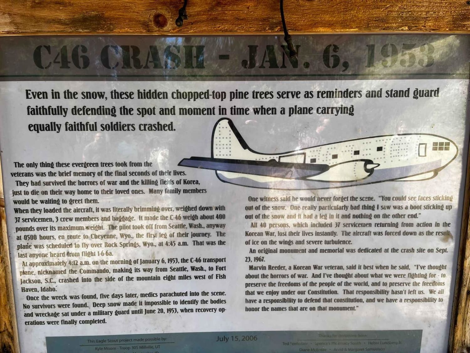
C-46 Plane Crash Site

Yellow Pine Ridge
The onX Offroad Difference
onX Offroad combines trail photos, descriptions, difficulty ratings, width restrictions, seasonality, and more in a user-friendly interface. Available on all devices, with offline access and full compatibility with CarPlay and Android Auto. Discover what you’re missing today!
