Cirque Basin
Total Miles
1.2
Technical Rating
Best Time
Summer, Fall
Trail Type
Single Track
Accessible By
Trail Overview
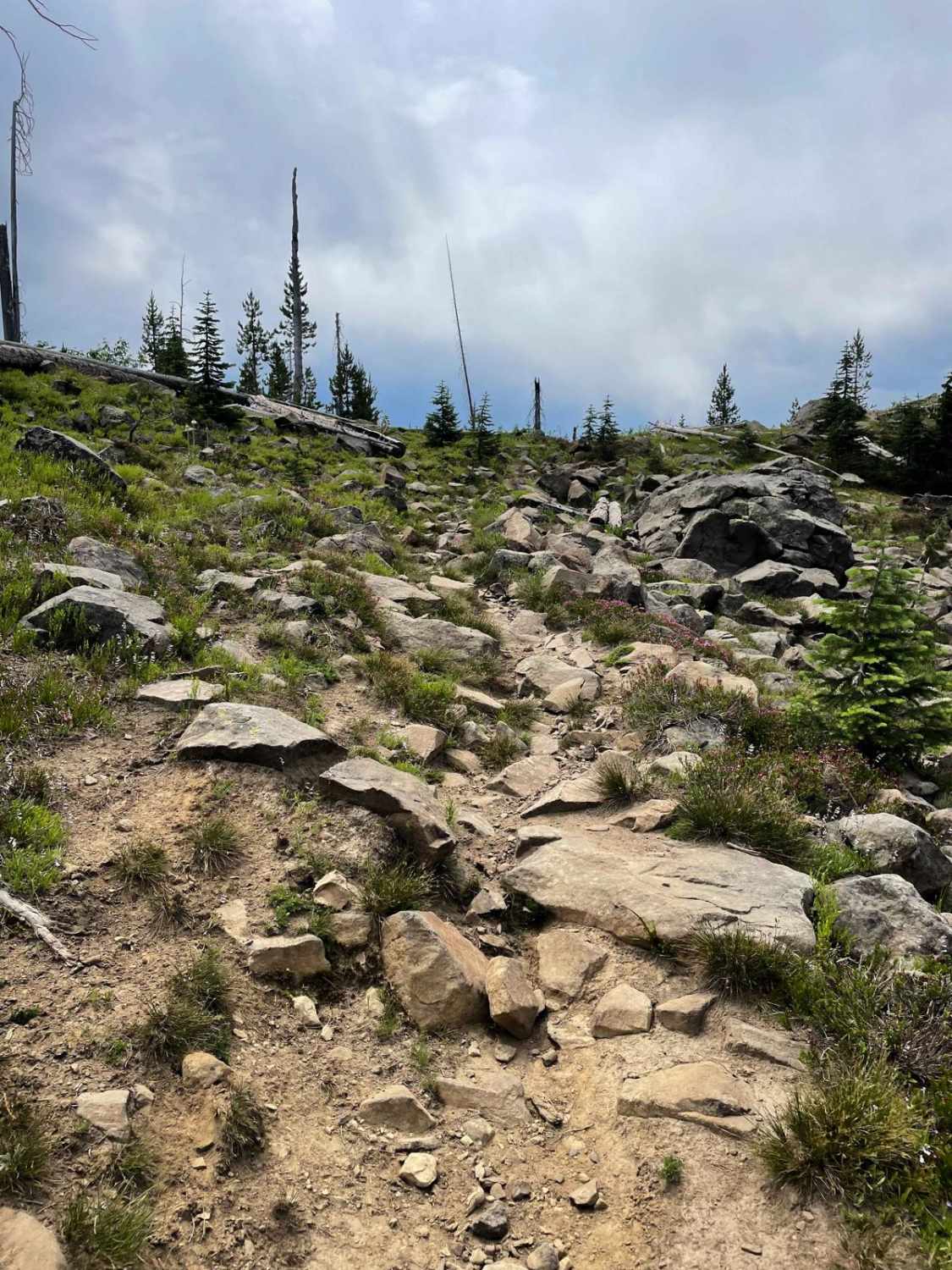
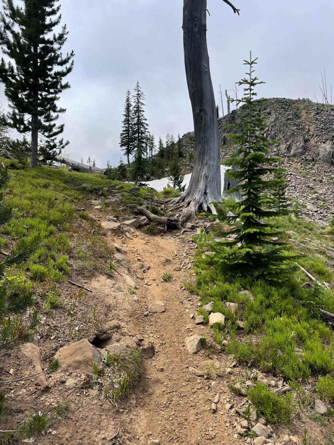
The Cirque Basin singletrack is a 1.4-mile long trail that starts off of Lava Ridge single track and drops down to Clayburn Creek. The north end starts at a well-defined trail going through a big section of blown-down trees, although most of the logs have been cut. It starts off flat and easy and includes a couple of small creek crossings. It goes past a small lake underneath a towering rocky volcanic cliff that has a really nice view. The middle section of the trail introduces some large embedded rocks, a couple of tight switchback sections, and roots in a short but semi-technical climb. After this climb, the trail descends back into another flowy section. This trail serves as an alternate way down from Lava Ridge by connecting to the eastern (very advanced) portion of Clayburn Creek.
Photos of Cirque Basin
Difficulty
This trail is rated a 5 difficulty because while the beginning is easy, the middle section has more challenging features such as switchbacks and large embedded rocks.
Status Reports
Cirque Basin can be accessed by the following ride types:
- Dirt Bike
Cirque Basin Map
Popular Trails
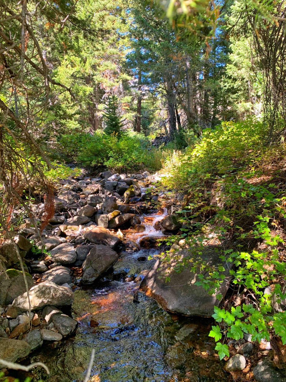
Boulder Creek Left Trail
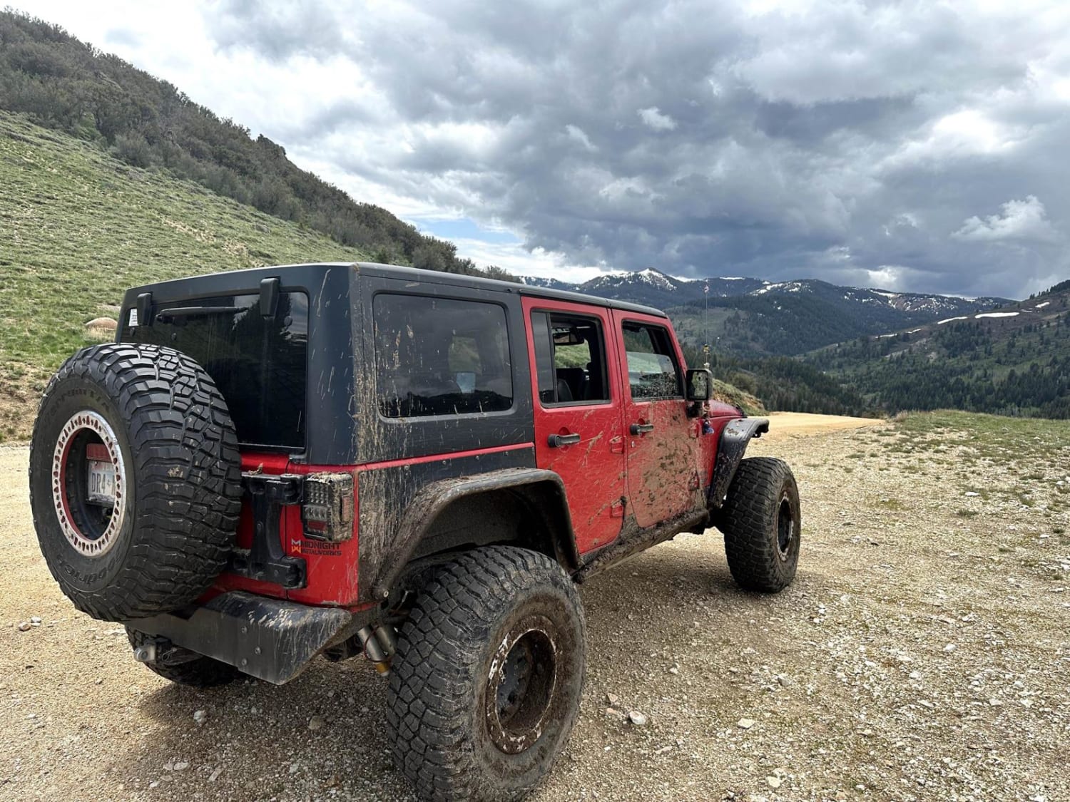
Presby Creek Trail
21 To Nip & Tuck
Echo Peak OHV
The onX Offroad Difference
onX Offroad combines trail photos, descriptions, difficulty ratings, width restrictions, seasonality, and more in a user-friendly interface. Available on all devices, with offline access and full compatibility with CarPlay and Android Auto. Discover what you’re missing today!
